ORTELIUS (Abraham);Livre Rare Book
213 résultats
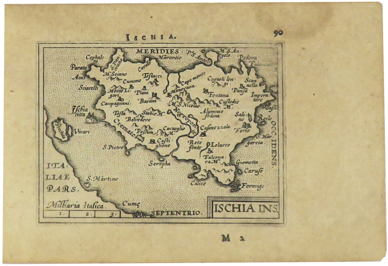
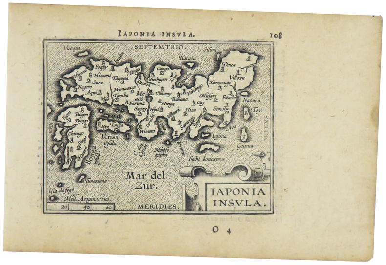
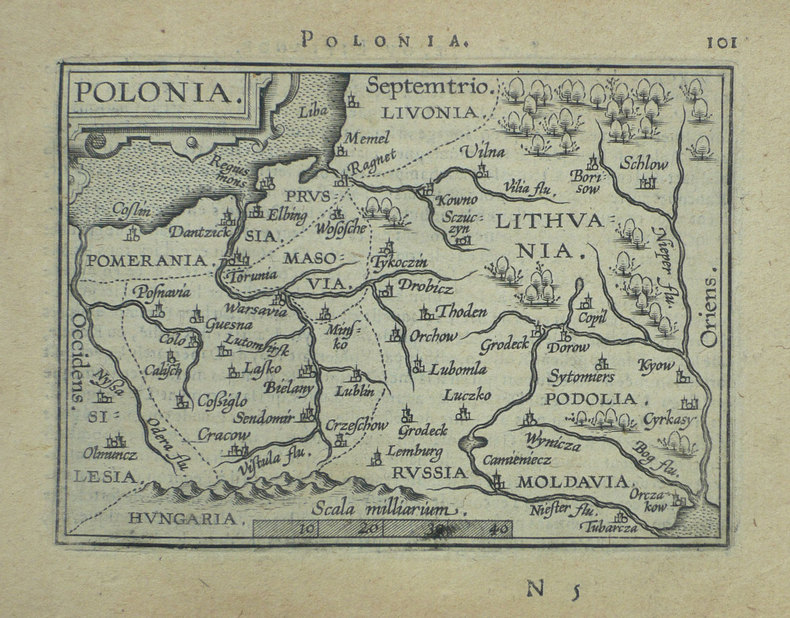
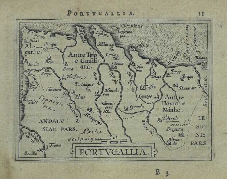
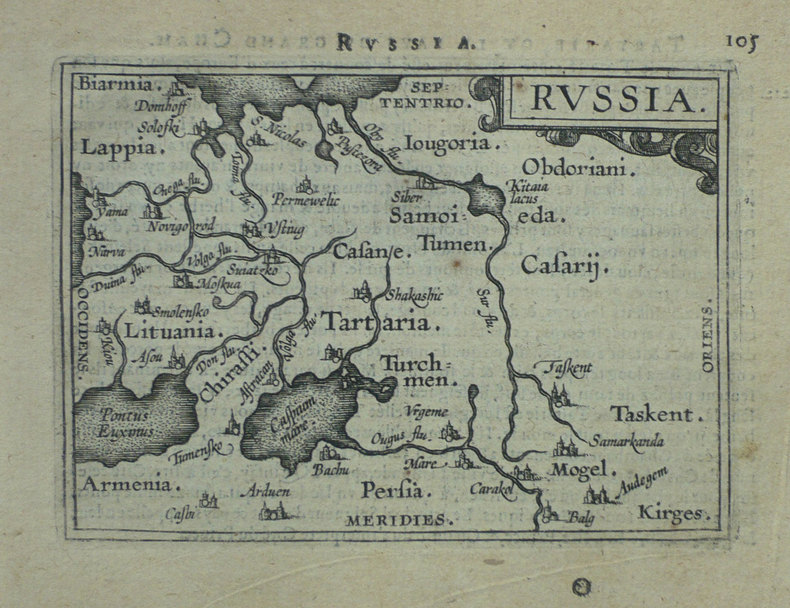
1598LBW-1404Anvers 1598 82 x 107 mm.
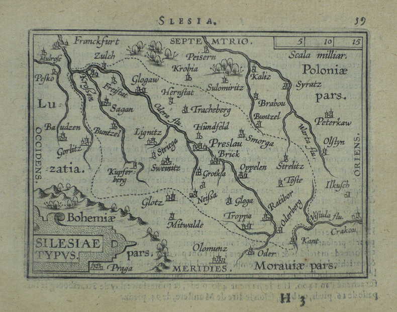
1598LBW-1405[Anvers, 1598]. 82 x 106 mm.
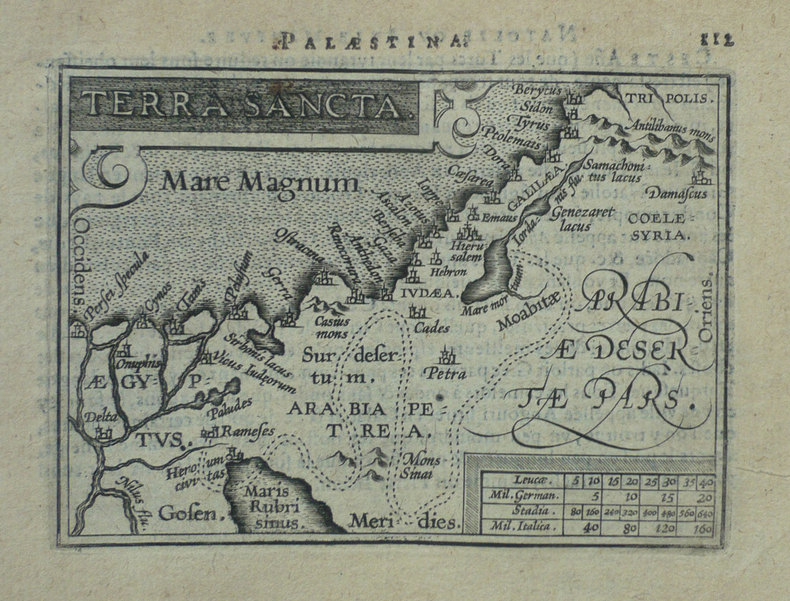
1598LBW-1424[Anvers, 1598]. 82 x 102 mm.
1598LBW-1390Anvers 1598 82 x 108 mm.
1598LBW-1384Anvers 1598 81 x 106 mm.
15950044301595 [Anvers], Ortelius, 1594. Carte (557 X 405 mm, marges comprises) sous cadre en bois noirci moderne.
1598LBW-1431[Anvers, 1598]. 80 x 106 mm.
1598LBW-1391Anvers 1598 81 x 106 mm.
1598LBW-1425Anvers 1598 80 x 105 mm.
1598LBW-1428Anvers 1598 81 x 105 mm.
159040297N.p. 1590. Image area 19-1/2" x 12-7/8" in 28" x 23" mat. 1 vols. Imperfectly colored along crease down center small and unobtrusive dampstain in one corner. Still a nice piece. Image area 19-1/2" x 12-7/8" in 28" x 23" mat. 1 vols. Abraham Ortelius 1527-98 was a Flemish geographer of German origin. His major work Theatrum Orbis Terrarum 1570 with later revisions and addendums was the first modern atlas. It was based on contemporary charts and maps and contained a collection of plates engraved by Frans Hagenberg in a uniform size and format. The Theatrum preceded the first atlas of Ortelius' good friend Gerardus Mercator. In fact popular sentimental legend has it that Mercator delayed publication of his own work so that his younger friend's would appear first. Although this simply isn't true Mercator wasn't ready the legendary cartographer did complement Ortelius for the "care and elegance" he had put into the Theatrum. unknown books
15801396356c1580. Condition of map is Good with moderate age toning creasing and a small brown stain along right edge. Matted in metal frame measuring 24.25 in. x 19.75 in. . CW Consignment. Shelved at Rockville PS 1101 #25. Believed to be from Abraham Ortelius's "Theatrum Orbis Terrarum - Parergon - Nomenclator Ptolemaicus" published in Antwerp by Christoph Plantin Press 1579 1584. 1396356. Special Collections - Upstairs. unknown
1518100999Newspaper disbound 23" x 16" 8 pp. Probably removed dbd minor staining and browning a little creasing and fading; otherwise very good.This is an early report under the heading "Important Assassination of President Lincoln." This is the second morning edition with the 3 a.m. update from Edward Stanton the Secretary of War which indicates Lincoln was still alive but in very bad shape. The article describes John Wilkes Booth "the actor" as the alleged assassin of the president. It describes how Booth entered Lincoln's box and after shooting him stating "Sic semper tyranis" before he leaped on to the stage. This report gives considerable detail about the how Washington reacted to the news and the scene at Lincoln's deathbed. There is also a good deal of coverage of the assassination attempt on Secretary of State William Seward. This paper represents an important piece of American history. books
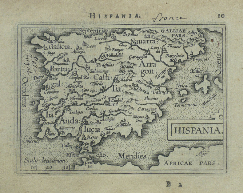
1592200015AG1592. Antwerp Ortelius c.1592. Original hand-coloured engraving. Plate Size: 49.6 cm x 37.6 cm. Sheet Size: 57.8 cm x 45.6 cm. Original map. Very good condition. Clean and crisp impression. Some slight creases along edges. Very minor barely visible tears to lower edges. Hernando Abb. S. 139; Imagens 11; Broecke 25.3; Koeman III 6000:31/b. - 3. Zustand from 4 with "Estrecho de Gibraltar". Border with longitudinal and latitudinal information. A beautifully detailed map of the Kingdom of Spain with the smaller provincial and historical kingdoms - Galitia Asturias Biscaia Navarra Aragonia Catalonia Castilia Nova and Vetus Valencia Murcia Granada and Andaluzia - also delineated as is Portugal. The Balearic Islands are also included. In the top right corner the French cities of Montpellier and Marseille can be seen. The Barbary Coast of North Africa lies to the lower section of the map. Relief shown pictorially with rivers mountains and significant towns and cities depicted. Lower right corner bears Ortelius characteristic strapwork design ornaments the title cartouche. Scale topped with a large pair of dividers in the lower left corner. Two naval ships pictured highlight the maritime importance of the peninsula. Giant mythical sea creatures guard the straits at Gibraltar and at the Balearic Islands. Abraham Ortelius was a Flemish cartographer and geographer conventionally recognized as the creator of the first modern atlas the 'Theatrum Orbis Terrarum' Theatre of the World. He was one of the most notable figures of the Dutch school of cartography during its golden age approximately 1570s-1670s. unknown
15887526At London Imprinted by William How for Thomas Gubbin and T. Newman 1588. 1588 4to. 10 85 2 87-151 leaves. Folding table 'A generall Table of the whole Booke'. Later calf panelled in blind with a two line roll and small corner tools. The spine with four raised bands and blind lines. Evidence of a lost label. The spine darkened and minor rubs on the edges and corners. Internally clean and tight with pinholes of worm to the final three leaves mostly marginal but affecting three letters of text on Rrii. Later signature E. Dawson on the front pastedown. Fraunce was a member of Philip Sidney's circle and all his writings were dedicated to members of that group. His writings were commended both by Thomas Nashe and by Francis Meres. In this work he follows the Ramist principles he also employed in other works providing literary examples to demonstrate principles of logic. Here however he expands the approach by using common law cases from Plowden and others. ESTC S102621 . At London, Imprinted by William How, for Thomas Gubbin, and T. Newman, hardcover
158054214Antwerpen ca. 1580. 32 x 41 cm. Kobberstukket Danmarkskort i original håndkolorereing. Med Skåne Halland og Blekinge samt den nordlige del af Tyskland.Foldningen fint forstærket på bagsiden med japanpapir. <br/><br/><em>Et af de tidligste danmarkskort med Marcus Jordan og Cornelis Anthoniszoon som forlæg. Kortet har ingen tekst på bagsiden men stammer fra Ortelius' berømte atlas "Theatrum orbis terrarum" som udkom i 19 udgaver alle før 1584. I de senere udgaver af atlasset blev kortet revideret og opdelt i to mindre dele.Bramsen p. 56. </em> unknown
152353327Venice: Daniel Bamberg 1523. Daniel Bamberg unknown
1579200024AG1579. Antwerp Ortelius 1579. Original hand-coloured engraving. Plate Size: 49.3 cm x 35.3 cm. Sheet Size: 53.1 cm x 42 cm. Original map. Very good condition with some signs of browning to the outer margins only. Slight creasing to the top right coner of map. Professionally repaired tear to lower centre fold barely noticeable given the quality of the workmanship. Latin text on reverse. Broecke 14ab.2; Koeman III 95299610:31; Wolff America S. 95; Lowery 65. A pair of stunning maps from the late 16th Century Theatrum Orbis Terrarum showing the northwest Pacific coast of Mexico and the Greater Antilles in the Caribbean. All these regions were first explored and settled by the Spanish in the 1490s and still under Madrid's control when Ortelius produced his renowned cartographic work. Among the settlements shown on the Mexican map are Culiacan and the Spanish settlement of Villa S. Michaelis with its cathedral clearly marked. Reliefs are depicted pictorially with mountains and rivers identified and a large forest/grove also shown. A large but narrow island lies just off the coast. Large decorative cartouche with Ortelius's characteristic ornamental straps lies of the coast with explanatory annotations in Latin text. Smaller title cartouche in the top right corner of map also. The map below illustrates the Greater Antilles including the Cayman Magnus and the Caymanes Cuba 'Aity sive Spaniola' Hispaniola Jamaica the Bahamas 'St. Jois Insula' St. Johns Virgin Islands and the Barbados Islands all in fine detail. Havana is clearly identified along with other major settlements throughout the islands. St. Lucia is just about included lying within the map border. The section of South Florida also shows suggestion of the Florida Keys which was uncommon for this era. To the west Yucatan can be seen breaching the map boundary. A decorative title cartouche beautifully adorned with two birds lies at the lower part of the map. Unlike the waters of the Mexican map above it the seas of this map appear choppy for the two ships depicted. Valuably laden Spanish galleons would have traversed these stretches of water bringing the riches of the New World across the Atlantic to Spain. Making use of a knowledge of Greek Mythology two particularly perilous areas are designated: amid the Bahamas a treacherous stretch of water is labelled 'Carybdis Magna' while off to the west of Hispaniola lies the dangerous 'Scyila Magna.' An interesting cartographic error is evident on both maps: the Tropic of Cancer is mislabeled as the southern 'Tropicus Capricorni'. Abraham Ortelius was a Flemish cartographer and geographer conventionally recognized as the creator of the first modern atlas the Theatrum Orbis Terrarum Theatre of the World. He was one of the most notable figures of the Dutch school of cartography during its golden age approximately 1570s-1670s. unknown
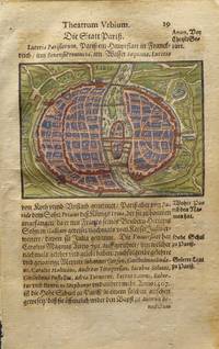
15956645<p>This original hand-colored engraving is from an early edition of Abraham Saur's <em>Theatrum Urbium</em>. The work featured early town views and maps. Many of the cities shown were some of the earliest printed views available. Abraham Saur 1545-1593 was a German lawyer and historian. He published several legal books in addition to his famous <em>Theatrum Urbium</em>. Map size: 3.75 x 2.75 in.; Paper: 4.625 x 7.25 in.</p> Nicolaum Basseum
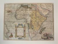
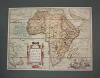
1570M10981Antwerp Belgium 1570. Very Good age toning. Notes: Map of Africa Continent by Abraham Ortelius published in Theatrum Orbis Terrarum <br>Latin Text on verso. Size : 367x495 mm 14.45x19.49 Inches Coloring: Original Hand Coloring Reference: Marcel P. R. van den Broecke #8.<br><br> Category: Maps Africa Continent; unknown
1570M10980Antwerp Belgium 1570. Very Good age toning. . Notes: Map of Africa Continent by Abraham Ortelius published in Theatrum Orbis Terrarum<br>Latin Text on verso. Size : 378x507 mm 14.88x19.96 Inches Coloring: Original Hand Coloring Reference: Marcel P. R. van den Broecke #8. Category: Maps Africa Continent; unknown
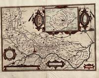
1584676Antwerp: Abraham Ortelius 1584. 19 1/4. x 13 1/2 inches. Very good condition but for the scraped of nude of a woman leaving a thin paper with small hole. This is a 1584 map of the area around Cremona Italy. The map has a large cartouche. In this case the nude statue of a woman has been scraped of with the loss of paper. /It obviously offend the sensibilities of the clerics from which this map was sourced. A very nice map it has a high profile illustration of Cremona. The River Po is well illustrated in this map. There is a bounty of small towns proximate to this city. Abraham Ortelius unknown
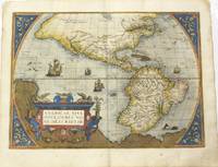
1592M8829Antwerp 1592. Very Good. Notes: Latin text on verso. L5. <br><br>A highly decorative map of the Americas. It is considered as the most beautiful map of the Western Hemisphere of the 16th century with a bulge on the coast of South America.<br>This map of the Americas by Ortelius came to be one of the most influential maps of this area having a large impact on European perspectives of the new continent. Ortelius was able to obtain cartographic information from both Spanish and Portuguese sources. From the Theatrum Orbis Terrarum by Abraham Ortelius which was the first atlas produced that uniformly covered the world with similarly sized and styled maps. Burden 39.<br><br><br><br><br><br> Size : 362x500 mm 14.25x19.69 Inches Coloring: Original Hand Coloring Reference: Burden 39. Van Den Broecke #11. Category: Maps North America; Maps South America Continent; unknown
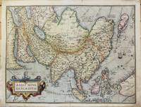
1575M10946Antwerp 1575. Very Good with some expert restoration on the two corners of the lower margin not affecting the map. Notes: Latin Text on verso.<br>From Theatrum Orbis Terrarum Atlas Ortelius's influential map of continental Asia after Gastaldi. "While the Mediterranean coastline and the southern coastline of Asia are fairly accurate the eastern and northern coastlines are erroneous. Especially the north-western parts with the Japanese island group is quite mis-presented. Also many errors in placenames e.g. Meppo for Aleppo. . There is no doubt about the Italian source for this map viz. Gastaldi." Brandmair. Size : 372x492 mm 14.65x19.37 Inches Coloring: Original Hand Coloring Reference: Van Den Broecke #7. Category: Maps Asia Continent; unknown
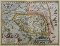
158461175<p>hand-coloured copper engraving. verso: Spanish text. EXTREMELY RARE.</p><p>The first European map of China appeared in Abraham Ortelius's atlas " Theatrum Orbis Terrarum" showing the area of Canton Mindanao no Luzon some islands to the North but only CuboCebu is marked and part of Japan – Spanish edition. An extremely important map for the Philippines here in the first state: there is no indication yet of' 'Las Philippinas' as will be shown later in the second state on the long elongated island just north of Borneo in the position and orientation of Palawan but apparently not based on Spanish knowledge.<br />Ortelius was a notable Dutch cartographer and the publication of this atlas in 1570 marked an epoch in the history of cartography. It was the first uniformly sized systematic collection of maps of the countries of the world based only on contemporary knowledge since the days of Ptolemy & in that sense may be called the first modern atlas; although that term itself was not used until 20 years later by Mercator. The Theatrum was re-issued in 42 editions with 5 supplements with text in Latin Dutch German French Spanish Italian & English between the years 1570-1612. The protrusion of a Southern landmass initially called 'Beach' by Marco Polo is shown South of "Java Major" alluding to Australia. Reference: Tooley Mapmakers S.38; Koeman III Ort 29 B; Walter Japan Nr. 11F; Karrow Mapmakers Nr. 1/152; Landmarks of Mapmaking pict. p. 21; Phillips Atlases 396; OAG Japan a cartographic vision pl. 11F; Suárez: Early Mapping… p. 170-1; Karrow Mapmakers p. 479; Lietz Insulae Indiae Orientalis 36th IMCoS Symposium Manila 2018 Gallery of Prints & Ayala Museum p.12.</p><p>Condition: Very good.</p> published in Antwerp.