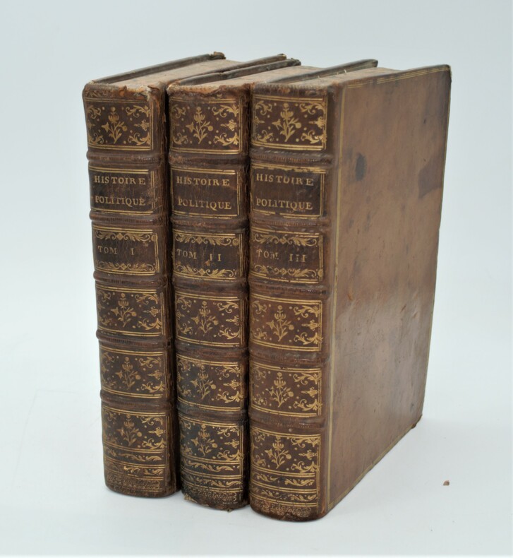
DANCKERTS (Justus).Livre Rare Book
34 269 résultats
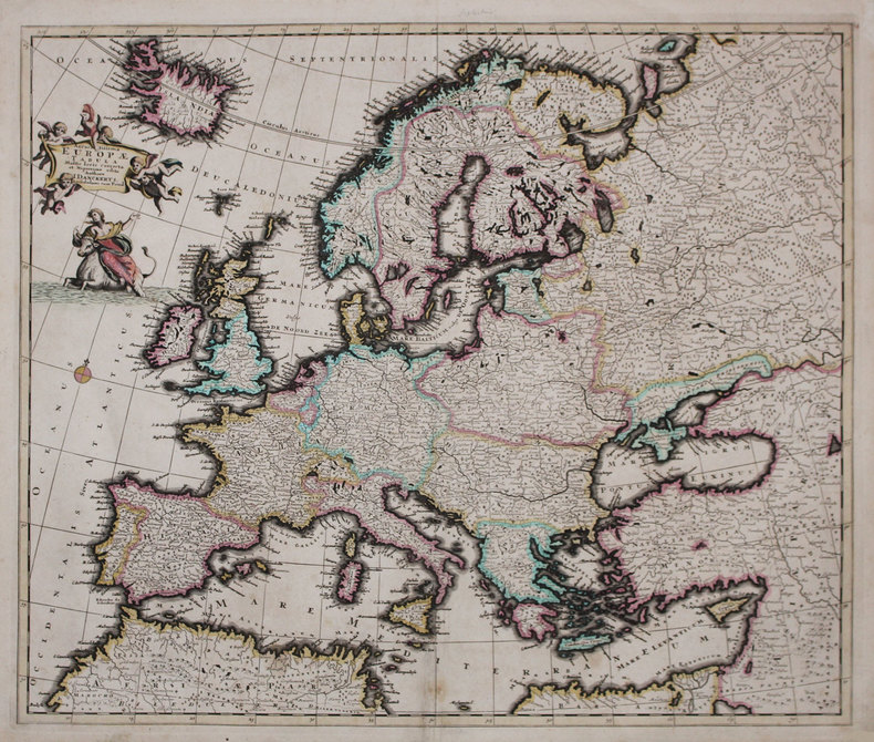
1696LBW-3222Amsterdam, [circa 1696]. 492 x 580 mm.
Grande carta geografica in due fogli del Mediterraneo, stampata ad Amsterdam dalla tipografia Dankerts.Justus I Dankerts fu il primo esponente della famiglia di tipografi ad intraprendere l'attiità di cartografo. Il suo primo atlante - meglio definibile come una raccolta di carte assembralta - è databile al 1680, e venne continuamente implementata anche con l'aiuto dei figli Theodor e Cornelis II.Le carte della tipografia Dankert furono in seguito ristampate da Reiner e Joshua Ottens.Magnifico esemplare, con bellissima coloritura coeva, lievissime gore d'acqua nel margine inferiore, per il resto in ottimo stato di conservazione. Large two-sheet map of the Mediterranean, printed in Amsterdam by Dankerts. Justus I Dankerts was the first exponent of the printer family to undertake a cartographer activity. His first atlas – better definibale as a collection of assembled maps – can be dated at 1680, and was continuosly implemented also with the collaboration of his sons Theodor and Cornelis II. The Dankerts maps were later reprinted by Reiner and Joshua Ottens. Magnificent example with beautiful original colouring, very light waterstain in the lower margin, otherwise in excellent condition. G. Danku, Z. Sumeghy, The Danckerts Atlas: The Production and Chronology of Its Maps, in "Imago Mundi" 59, 2007, pp. 43-77.
Rara carta geografica tratta dalla seconda edizione dell'atlante del De Jode, curata dal figlio Cornelis e denominata Speculum Orbis Terrae, 1593. Incisione in rame, in perfetto stato di conservazione. Rare map taken from the second edition of the atlas of De Jode, edited by his son Cornelis and called Speculum Orbis Terrae, 1593. Copper engraving, in perfect condition.
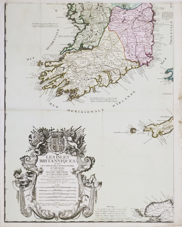
1766LBW-4461Paris, S. Desnos, 1766. En quatre feuilles pouvant être jointes pour former une carte de 1,06 x 0,86 m.
Vera et accurata descriptio situationis Magnae Cartusiae, primariae domus sacri ordinis Cartusiensis prout jacet in ea parte regni Franciae quam Delphinatum vocant: Reuvrendissimo in Christo Patri D. Brunoni D'Affringues ipsius Cartusiae Priori dignissimo ac eiusdem ordinis Cartusiensis Generali meritissimo dicata / L. Gaultier incidit. Rarissima e spettacolare veduta panoramica del Couvent de la Grande-Chartreuse, sede dei certosini nella Savoia, situata a nord di Grenoble. La grande tavola – realizzata con due matrici di rame - è incisa da Leonard Gaultier e pubblicata da Jean Messager (1580-1649). L’opera - priva di data - è dedicata a Charles d'Affringues. Bruno d'Affringues, di religione, nato il 20 aprile 1549 a Saint-Omer (Pas-de-Calais) e morto il 6 marzo 1632 nella Grande Chartreuse è un monaco certosino francese che fu Priore della Grande Chartreuse dal 1600 al 1630 e quindi 47° Ministro Generale dell'Ordine certosino. Secondo le informazioni della Biblioteque Nationale de France (dove sono conservati 2 esemplari dell’opera) sarebbe stampata nel 1630, anno in cui Bruno d'Affringues lasciò la carica di Priore. Dalla firma dell’editore viene stabilito che la tavola è stampata a Parigi. Bulino, stampato su due fogli di carta vergata coeva, con margini, minimi restauri al verso, nel complesso in ottimo stato di conservazione. Vera et accurata descriptio situationis Magnae Cartusiae, primariae domus sacri ordinis Cartusiensis prout jacet in ea parte regni Franciae quam Delphinatum vocant : Reuvrendissimo in Christo Patri D. Brunoni D'Affringues ipsius Cartusiae Priori dignissimo ac eiusdem ordinis Cartusiensis Generali meritissimo dicata / L. Gaultier incidit. Very rare panoramic view of the Couvent de la Grande-Chartreuse, home of the Carthusian monks in the Savoy, located north of Grenoble. The large view - made with two copper plates - is engraved by Leonard Gaultier and published by Jean Messager (1580-1649). The work - undated - is dedicated to Charles d'Affringues. Bruno d'Affringues, of religion, born April 20, 1549 in Saint-Omer (Pas-de-Calais) and died March 6, 1632 in the Grande Chartreuse is a French Carthusian monk who was Prior of the Grande Chartreuse from 1600 to 1630 and then 47th Minister General of the Carthusian Order. According to the information of the Biblioteque Nationale de France (where 2 copies of the work are preserved), it would be printed in 1630, the year in which Bruno d'Affringues left the office of Prior. From the publisher's signature it is established that this work is printed in Paris. Engraving, printed on two sheets of contemporary laid paper, with margins, minimal restoration on the reverse side, overall in excellent condition.
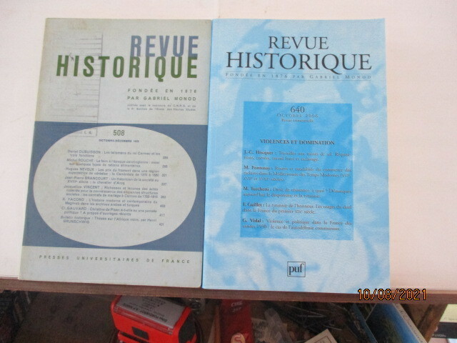
1878476401878 PARIS, P.U.F. - Fondée en 1878 par Gabriel Monod, publiée avec le concours du CNRS et de la 6e section de l'Ecole des Hautes Etudes.- Revue historique N° 508 d'Octobre 1973 au N° 640 d'Octobre 2006 - Environ 300 pages par Volume - Bel ensemble
PARIS, P.U.F. - Fondée en 1878 par Gabriel Monod, publiée avec le concours du CNRS et de la 6e section de l'Ecole des Hautes Etudes.- Revue historique N° 508 d'Octobre 1973 au N° 640 d'Octobre 2006 - Environ 300 pages par Volume - Bel ensemble La Revue historique, est une revue d’histoire française créée en 1876 par le protestant Gabriel Monod et le catholique Gustave Fagniez. Cette nouvelle revue s'inscrit en réaction contre La Revue des Questions historiques créée dix ans plus tôt et qui traduisait la pensée d'une droite ultramontaine et légitimiste. La Revue historique ne se réclame d'aucune religion, d'aucun parti, d'aucune doctrine POSSIBILITE D'ACHETER AU NUMERO AU PRIX DE 30 €
222418Saint-Étienne, Théolier et Cie, 1894 in-8, 333 pp., demi-chagrin vert, dos à nerfs orné, couv. cons. (reliure postérieure). Dos passé.
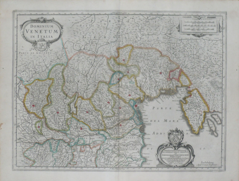
1639LBW-1468Amsterdam 1639-1649 378 x 498 mm.
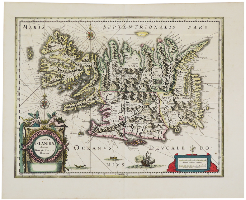
1639LBW-5447[Amsterdam, 1639-1649]. 379 x 494 mm.
222443A Bayonne, chez Gosse, 1821 in-4, 32 pp., carte dépl., demi-percaline verte, titre sur le contreplat, couv. cons. (reliure postérieure).
Delineata sulla scia della più grande veduta di Jeremias Wolff, l’opera offre quaranta riferimenti topografici. Il Leopold, era un modesto incisore ed editore di Augsburg; la sua serie di vedute di città, da cui questa incisione è tratta, venne pubblicata con pochissima tiratura, rendendo quindi le opere particolarmente rare. Incisione in rame, in ottimo stato di conservazione. In the wake of Jeremias Wolff’s bigger view, this work presents many topographical references. Leopold was a modest engraver and publisher in Augsburg; the series of city views, from which this one is taken, has been published in a very limited circulation, which means these works are very rare. Copperplat, in excellent condition.
210376Collection Documents Inédits sur l'Histoire de FranceParis, Imprimerie Royale, 1835-1842 4 vol. in-4, demi-veau rouge, dos à nerfs orné de filets et de guirlandes dorés (reliure de l'époque). Rousseurs, fortes parfois. Inscription sur une page de garde du tome I : "Donné par Madame de Clermont-Tonnerre, le 1er janvier 1846".
242300Bruxelles, s.n., 1785 in-8, [2] ff. n. ch., 117 pp., maroquin fauve, dos lisse cloisonné et fleuronné, pièces de titre cerise, encadrement de simple guirlande dorée sur les plats, hachuré doré sur les coupes, tranches dorées, gardes de papier marine (reliure de l'époque). Accroc en coiffe supérieure, rousseurs, petites galeries de vers marginales stoppées en début d'ouvrage, plus nombreuses à la fin.
Carta geografica tratta dalla “Chorographica Descriptio Provinciarum et Conventum....”, atlante dell'ordine dei frati cappucini. L'atlante delle province cappuccine era stato iniziato in forma manoscritta dal ministro generale dell'ordine, padre Silvestro da Panicale nel 1632 e doveva servire da sussidio geografico per le visite generali. Alla sua morte il successore Padre Giovanni di Montecaliero, al quale spesso viene erroneamente attribuita la paternità delle carte, incaricò padre Massimino da Guechen di proseguire l'opera. Gli incisori delle lastre furono appunto Massimino da Guechen, Bernardino Burdigalensis e Ludovico Monteregali. L'atlante ebbe una prima edizione nel 1643 a Roma con un totale di 46 mappe (23 per l'Italia, 5 per la Spagna, 11 sulla Francia e 7 per la Germania), quindi ristampata nel 1646 ancora nella Città Eterna (Romae, et Taurini) con un numero di tavole accresciuto alle 51 definitive, compresa la grande carta geografica più volte ripiegata dell'Europa.Venne ristampata a Torino nel 1649, sumptibus Alexandri Federici Cauallerij sempre con le 51 carte geografiche definitive (l'Europa, 24 carte per l'Italia, 6 per la Spagna, 12 per la Francia e 8 per i territori dell'Impero). Infine si replicò a Torino per i torchi di Alessandro Federico Cavalleri un'ultima volta nel 1654 con le medesime carte presenti nella precedente pubblicazione. L'opera mostrava visivamente la diffusione dell'ordine, infatti le diverse carte dell'atlante, che rappresentano nazioni e province, offrono per ognuna di esse la statistica completa dei conventi. Taken from the “Chorographica Descriptio Provinciaru & Conventum F. F. Minorum S. Francisci Capucinorum...”.The atlas of the Capuchin provinces was initiated in manuscript form by the minister general of the order, Father Silvestro from Panicale in 1632 and was to serve as an aid for geographic General visits. At his death, the successor Father Giovanni from Montecaliero, which is often mistakenly attributed the authorship of maps, commissioned by his father Massimino Guechen to continue the work. The engravers of the plates were executed by Massimino from Guechen, Bernardino Burdigalensis and Ludovico Monteregali. The first edition was printed in Rome in 1643, the second in Turin in 1649 and then in 1654 and finally released in 1712, another convention attribute maps to Montecalerio. The work showed visually the spread of the order, in fact the different maps of the atlas, which represent nations and provinces, to offer each of them the full statistical convents.Copperplate, very good condition. Rare.
Xilografia in bianco e nero incisa su doppio foglio (cm. 325x395), titolo lungo il margine superiore e testo descrittivo latino al verso. Carta del Mondo Antico raffigurato secondo la concezione Tolemaica. Comprende i territori che si estendono dall'Atlantico (colonne di Ercole) fino all'Indocina e dall'Artico all'Equatore. In alto a sinistra, l'Europa, in basso l'Africa, ancora concepita come un unico grosso blocco senza fine, sono ben delineati il corso del fiume Niger e del Nilo. L'Oceano Indiano è visto come un enorme bacino chiuso. In basso a destra "Tapobrama" (Sumatra o Ceylon). L'India è divisa in due parti, India e India extra Gange (attuale sud est asiatico). I territori dell'estremo sud del mondo erano considerati abitati da mostri, pertanto, sconosciuti. Il tutto circondato da nuvole e dodici teste di venti, con i loro nomi riportati su stendardi (Zephirus, Aquilo, Vulturnus, Lips Africus, Auster,…). Bella e rara incisione in buono stato di conservazione tratta dalla "Cosmographiae Universalis", edizione latina del 1572. Pubblicata per la prima volta in tedesco nel 1544 ed in latino l'anno successivo, l'opera raggiunse in breve un enorme successo editoriale, grazie alla ricchezza delle illustrazioni ed alle numerose carte geografiche che l'arricchiscono. . .
1693LBW-2921[1693]. 454 x 895 mm.
SCONOSCIUTA CARTA DELLA GERMANIACarta geografica in 6 fogli (ognuno misura mm. 430x272) stampata a Venezia presso la tipografia di tale Francesco Orlandini, il cui nome appare nel cartiglio con il titolo, nel 1788. La carta è invece incisa dai fratelli Gaetano e Valentino Orlandini. Sappiamo che sono fratelli dalla firma in questa carta "Gaijetanus et Valentinus Fratres Orlandini Sculpserunt, Scripseruntque". Nessuna notizia su Francesco Oralndini siamo stati in grado di reperire, mentre Gaetano e Valentino sono citati in Cartografi Veneti di V. Valerio, noti come incisori della mappa dell'Italia, sempre in 6 fogli, del 1786. Nella stessa pubblicazione stranamente non è citato Francesco Orlandini, editore sia di questa mappa che della carta dell'Italia.Ipotizziamo che si tratti del padre dei due incisori.L'opera, sconosciuta a tutti i repertori, è incisa nel cllassico stile veneziano del perodo. Il cartiglio è molto simile a quelli dell'atlante di Antonio Zatta.La carta dell'Italia di Orlandini è nota in un solo esemplare alla Biblioteca Comunale di Verona, mentre questa della Germania è assolutamente sconosciuta.Incisione in rame, coloritura coeva dei contorni, 6 fogli in barbe da unire, in ottimo stato di conservazione. UNKNOWN MAP OF GERMANYMap on 6 sheets (each measure mm. 430x272) printed in Venice by Francesco Orlandini, whose name appears in the cartouche with the title, in 1788.The map is iengraved by brothers Gaetano and Valentino Orlandini. We know that they are brothers by signing this map "Gaijetanus Sculpserunt Orlandini et Fratres Valentinus, Scripseruntque".No news about Francesco Oralndini we were able to rfind, while Gaetano and Valentino are cited in Cartografi Veneti by V. Valerio, known as map carvers of the map of Italy, always in 6 sheets, printed in 1786 by the same Francesco Orlandini.In the same publication, strangely, is not mentioned Francesco Orlandini.We hypothesize that Francesco is the father of the two engravers.The work, unknown to all repertoires, is etched into the classic Venetian styleof the time. The cartouche is very similar to those of the atlas by Antonio Zatta.The map of Italy by Orlandini is known in a single copy at the Central Library of Verona, while the map of Germany is absolutely unknown.Copper engraving, contemporary outline colour, 6 separate sheets, in excellent condition.
183210287Genève, Imprimerie A. L. Vignier, 1832-1836. 5 vol. in-4 brochés à pagination continue de 488 pp., couvertures imprimées.
1775PHO-1053A Genève, chez les libraires associés, 1775 3 tome in-4 (26 x 20 cm) de (4) -IV-III-VIII-719, (4) -VIII-662 et (4) -VIII-658 pages. L'illustration comprend un portrait de l'Auteur gravé par Legrand d'après Cochin, 7 planches hors texte non signées, 4 cartes repliées aux contours colorés époque et 3 vignettes en-tête de Marillier. , relié plein veau blond, dos à nerfs ornés avec titre, tomaison et « rel. par Langlois à Lyon »en pied, filets sur les plats, tranches marbrées, coins usés, coiffes T1 et 3 un peu usés Première édition publiée au format in-4 établie sur la deuxième édition originale.
222556Paris, Magimel, 1814 in-4, IV-67 pp., 2 grands plans dépliants, demi-basane brune à petits coins en vélin, dos lisse orné de filets et fleurons dorés (reliure de l'époque). Manque à la coiffe, mors supérieur fendu sur 4 cm avec traces de colle, épidermures sur les plats, coupes et coins usés. Mouillures claires et petits trous de vers en marge.
Rara carta geografica edita da Melchior Tavernier, pubblicata a Parigi nel 1625. La carta raffigura la Valtellina e parte della Lombardia, oltre a tutta la Svizzera. Questa opera, insieme alla carta della sola Valtellina del Tavernier, rappresentano le prime carte realizzate dal cartografo francese. Incisione in rame, in perfette condizioni. The map extends south to include Milan and Crema and north to Basle. The map is one of the two earliest maps known to have been engraved by Melchior Tavernier and includes the annotation "A Paris chez Melchior Tavernier demeurant sur l'Isle du Palais sur le quay qui Regard la Megiserie." Most original maps by Tavernier's maps were "seat of war" maps, illustrating the military movements during the reign of Louis XIII. Fordham notes this map of Switzerland and Northern Italy, along with Carte et Description Generale de la Valtoline as Tavernier's two earliest printed maps. Copperlate, fine condition. Rare. Blumer 90 and p.132 (ill.); Giudicetti p. 6; Pastouriau p. 474, no 61 and p.621 (ill.); Tooley, Mapmakers p. 43; Fordham, p. 158.
Una delle più decorative e rare mappe del Vrients contenute nelle edizioni postume del Theatrum Orbis Terrarum di Ortelius. La mappa è una fedele ed ingannevole copia della carta di Petrus Plancius di pochi anni precedente. Il Theatrum Orbis Terrarum è considerato il primo vero “atlante” moderno. L’opera fu pubblicata in 7 lingue e 36 edizioni, per il quale – nel 1570 - Ortelius ottenne il privilegio, ovvero una sorta di diritto d'autore che impediva ad altri cartografi di pubblicare i propri lavori. Il Theatrum rappresentava il lavoro più avanzato del lavoro della descrizione cartografica. L’Ortelius vi raccolse il sapere geografico e cartografico del suo tempo, proponendo in 147 spettacolari tavole incise l’immagine più fedele del mondo allora conosciuto e, in alcune straordinarie “carte storiche”, regioni e itinerari tratti dalla letteratura, dalla mitologia, dalla tradizione. Ortelius fu anche il primo a citare le fonti, menzionando i nomi dei cartografi nel “catalogus auctorum”. Dal 1598 al 1612 le edizioni postume del Theatrum furono realizzate dal suo collaboratore Johannes Baptiste Vrients. Incisione in rame, margini aggiunti, lieve mancanza di parte incisa sotto al cartiglio, per il resto in buone condizioni. Rara. One of the rare decorative Vrients maps which were added to the Ortelius Atlas from 1606 on. Map taken from the Theatrum Orbis Terrarum, which is considered the first true modern "Atlas". The work was published in 7 languages and 36 editions, for which - in 1570 - Ortelius obtained the privilege, a kind of copyright that prevented other cartographers from publishing his works. The Theatrum represented the most advanced work of cartographic description. Ortelius collected in it the geographical and cartographic knowledge of his time, proposing in 147 spectacular engraved plates the most faithful image of the world then known and, in some extraordinary "historical maps", regions and routes taken from literature, mythology, tradition. Ortelius was also the first to cite sources, mentioning the names of cartographers in the "catalogus auctorum". From 1598 to 1612 the posthumous editions of the Theatrum were made by his collaborator Johannes Baptiste Vrients. Copperplate, good condition. Van der Krogt 3, 4000:31C; Van den Broecke, 36.
Rarissima carta della Polonia e Lituania, stampata ad Ausburg (Augusta) da Johannes Walch nel 1820. Si tratta del sesto, sconosciuto stato della carta – la carto bibliografia “Imago Polonia” (Varsavia, 2002), che descrive l’incredibile collezione Niewodniczanski contempla solo 5 stati della carta, di cui l’ultimo stampato nel 1807 – per la prima volta edita nel 1793.Incisione in rame, coloritura coeva dei contorni, piccole macchie di umidità negli angoli inferiori, altrimenti in perfetto stato di conservazione.La città imperiale di Augusta era un importante centro di produzione di mappe per l'Europa centrale nel XVIII secolo. Gli incisori più noti erano i residenti Johann Stridbeck e Gabriel Bodenehr, e gli editori d'arte Matthäus Seutter e il suo successore Tobias Conrad Lotter, e Johann Michael Probst, tutti specializzati nella pubblicazione di cartografica e topografica. La graduale recessione economica di Augusta ha lasciato il segno sulla fiorente attività di tipografia ed editoria. Solo Johann Martin Will e soprattutto Johannes Walch hanno impedito la completa scomparsa della produzione di mappe alla fine del XVIII secolo. La continuità della casa editrice Walch fino al momento attuale, tuttavia, non garantisce ampi archivi per la stesura di una cronologia dettagliata dell’editore di mappe tedesco. La casa editrice bruciò durante la seconda guerra mondiale e la maggior parte dei documenti scritti e stampati furono distrutti.Johannes Walch divenne attivo dal 1790 circa come incisore dei propri disegni di carte, sposando la figlia dell’altro editore John Martin Will. Le mappe in formato folio sono l'obiettivo principale del lavoro cartografico di Walch. Alcuni di loro prendono il titolo in modo molto specifico, vale a dire promozione delle vendite, riferimento agli attuali eventi di guerra, come ad esempio la “Neue General-Kriegs- Karte des Rheinstrohms” (3 tavole, 1793), la “Kriegstheater oder Graenzkarte zwischen Frankreich und Italien” (1786) e la “Polen nach seiner ersten, und lezten, oder gaenzlichen Theilung” (1796). Walch, tenendo conto del gusto del tempo, rinunciava completamente agli ornamenti. Le sue carte sono chiare e belle. Sono scritti principalmente in tedesco, in parte anche nell'allora francese alla moda. Le carte del Walch, non essendo parte di un atlante, sono assolutamente rare nel mercato antiquario. A very rare map of Poland and Lithuania by Johannes Walch, first published in 1793, here in his sixt – unknown – state, dated 1820. Imago Poloniae (the carthobibliography of the maps form the Niewodniczanski collection, Warsaw 2002) listed only 5 states of the map, the latest with the date 1807.Copperplate, with fine original outline colouring, light waterstains at the lower corners, otherwise very good condition.The imperial city of Augsburg was a leading center of map production for Central Europe in the 18th Century. Many of the resident copper engravers such as Johann Stridbeck and Gabriel Bodenehr, and the art publishers Matthäus Seutter and his successor Tobias Conrad, and Johann Michael Probst were specialized in the publication of cartographica and topographica.The gradual economic recession of Augsburg left its mark on the once flourishing printing and Publishing business. Only Johann Martin Will and especially Johannes Walch prevented the complete disappearance of map production at the end of the 18th Century. The continuity of the Publishing house Walch up until the present time, however, does not guarantee extensive archives for writing a detailed history of a German map publisher. The Publishing house burned down during World War II and most of the written and printed documents were destroyed.Although Walch and Will also acted as independent publishers in the future, there seems to have been an intimate business combination between the two companies, especially in the area of map production.Johannes Walch became active from about 1790 as engraver of his own map designs. He published his own sheets, but they also appeared partly in Will. In some cases, both names are equal in the map titles. For example, Walch becomes author and publisher, Will called as publisher. So early on, the agreement seems to have existed that Walch would be the publisher's successor to his father-in-law. This is also supported by the common home and business address of the two publishers and in particular the fact that Will does not male successor and his inheritance would have to fall anyway to his daughter and her husband Walch. Maps in folio format are the main focus of Walch's cartographic work. Some of them take in the title very specifically, that is sales-promoting, reference to current events of war, such as Poland after its first, and last, or total division - 1796. Soon, however, his publishing house also found a broad standard program of maps from the regional to the hemispheric map. His engravings are almost entirely editions of foreign originals, and he confessed this only in a few cases in the card title Far more often Walch claimed to have designed a map according to the latest astronomical location rules, most reliable travelogues and most valued resources to have. Walch, taking into account the taste of the time, completely renounced ornamentation. His maps are clear and fine. They are mostly written in German, partly also in the then fashionable French language. The large maps by Walch are not part of an Atlas, so they are quite rare on the antiquarian market. Cfr. Imago Poloniae (2002), vol. II, pp. 123-124, K55 77/11 (ed. 1793-1807) Michael Ritter, Cartographica Helvetica: Fachzeitschrift für Kartengeschichte, nr. 25-26, 2002