34 279 résultats
236795A Cologne, chez Pierre de La Place, 1668 2 volumes in-16, (6)-458 pp. et 283 pp., maroquin rouge, dos à nerfs, tranches dorées, dentelle intérieure (Belz-Niédrée).
205438Paris, H. Fournier, 1836 2 vol. in-8, XVI-440 et [4]-449-[1] pp., avec un portrait-frontispice lithographié d'après un dessin de l'auteur, demi-veau blond, dos lisse (reliure de l'époque). Dos passé et un peu usé, pet. manque à la charnière supérieur du tome 1
216286Paris, Imp. Royale, 1835 2 vol. in-8, CXIV-558 pp. et 671-[4] pp., demi-maroquin rouge, dos à nerfs orné, monogramme couronné répété dans les entre-nerfs, tranches marbrées (reliure de l'époque). Rousseurs. Petites usures aux coins.
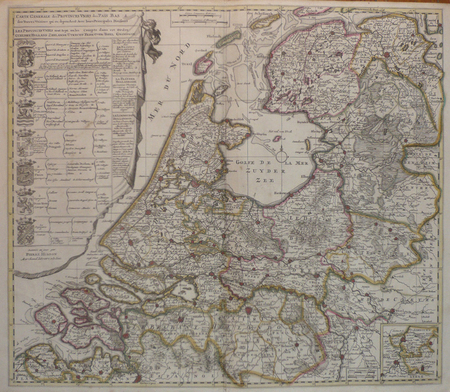
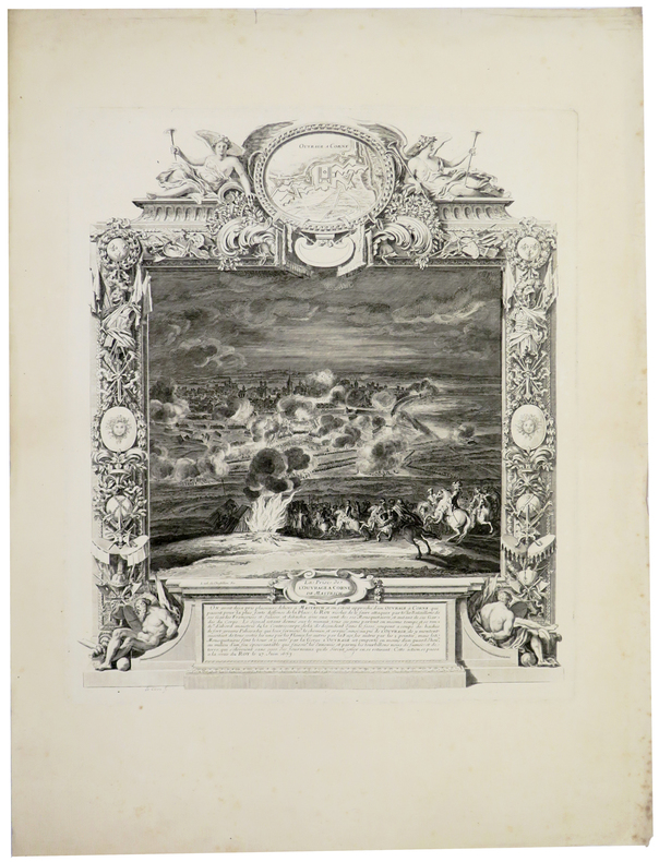
LBW045ccLa Haie circa 1710 500 x 575 mm.
192863Paris, Ancelin et Pochard, 1821 in-8, VIII-XVI-464 pp., 9 planches dépl. (plans, cartes, coupes), demi-vélin crème, dos lisse, pièce de titre (rapportée) (rel. de l'époque). Qqs rousseurs, parfois plus soutenues. Mque angulaire à une garde, restauration à un mors. Cachets (annulés).
199771Paris, Ancelin et Pochard, 1821 in-8, VIII-XVI-464 pp., 9 planches dépl. (plans, cartes, coupes), demi-veau blond, dos à nerfs orné (rel. moderne). Qqs rousseurs. Les cartes n'ont pas été placées dans l'ordre.
170209Haarlem, F. Bohn, 1912-1913 4 vol. in-8 carrés, XII-483, VI-[2]-480, VIII-625 et VIII-621 pp., avec 188 planches hors-texte (dont 171 portraits et fac-similés, et 17 cartes), toile olive, dos lisses et plats ornés d'un décor doré et de blasons polychromes (reliure de l'éditeur). Bon exemplaire.
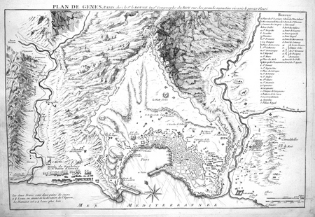
1754LBW0028dParis Sr. Le Rouge [1754] 308 x 463 mm.
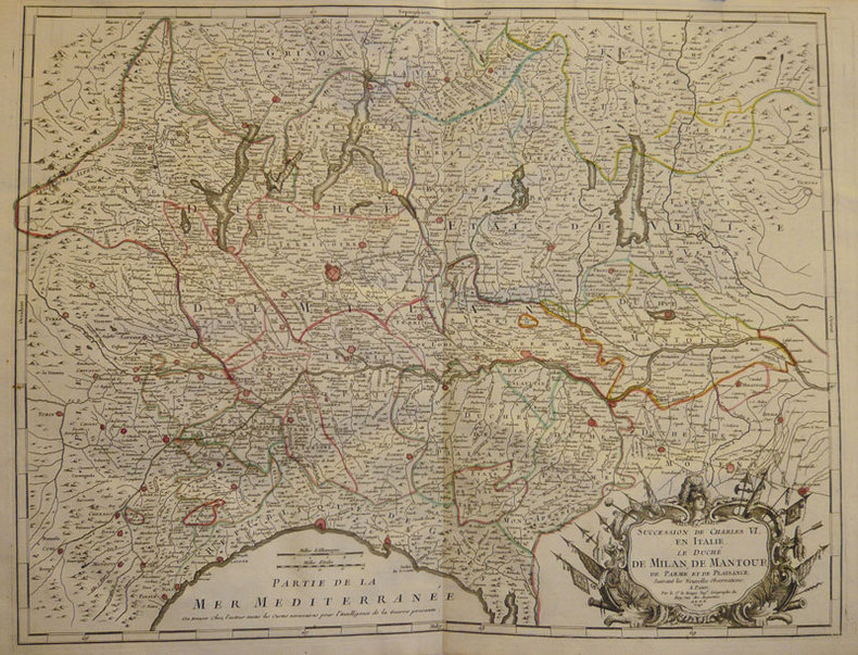
1742LBW-933Paris Sr. Le Rouge 1742 504 x 650 mm.
1690LBW-5453Paris, [circa 1690]. 421 x 362 mm.
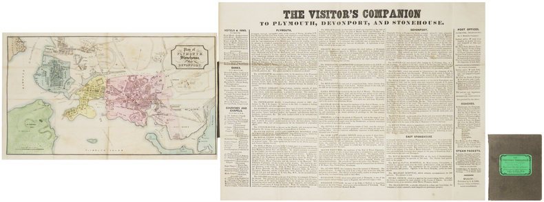
1845LBW-8930Plymouth, G.S. Lee, 1845. Feuillet de texte monté sur toile de 283 x 370 mm, et carte de 177 x 304 mm ; les deux repliés et montés dans une reliure de percaline brune de l'éditeur, avec pièce de titre de papier vert sur le premier plat.
222654Le Havre, Lemale, 1850 in-8, 415 pp., demi-chagrin vert, dos à nerfs orné (reliure de l'époque). Qqs usures. Rousseurs, mouillure angulaire en fin d'ouvrage.
Delineata sulla scia della più grande veduta di Jeremias Wolff, l’opera offre quaranta riferimenti topografici. Il Leopold, era un modesto incisore ed editore di Augsburg; la sua serie di vedute di città, da cui questa incisione è tratta, venne pubblicata con pochissima tiratura, rendendo quindi le opere particolarmente rare. Incisione in rame, in ottimo stato di conservazione. In the wake of Jeremias Wolff’s bigger view, this work presents many topographical references. Leopold was a modest engraver and publisher in Augsburg; the series of city views, from which this one is taken, has been published in a very limited circulation, which means these works are very rare. Copperplat, in excellent condition.
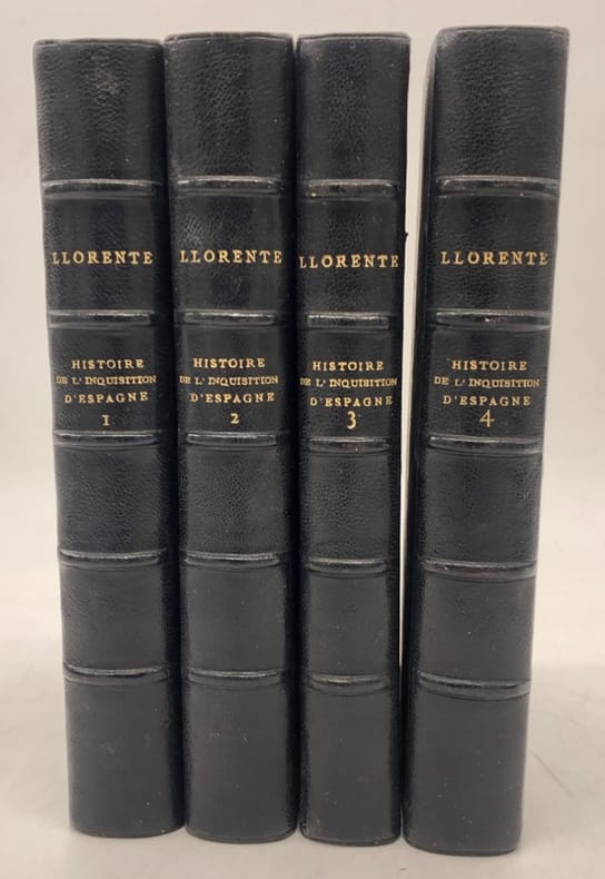
232982Paris, Treuttel et Würtz, 1817 4 vol. in-8, L-493, VI-553, VI-497 et VI-496 pages, avec un blason au verso du faux-titre du tome I, et un portrait-frontispice, demi-chagrin vert, dos à nerfs (reliure postérieure). Rousseurs. Bon exemplaire.
189267Paris, Pougens, An X (1802) 2 vol. in-8, XVI-318 pp. et 302 pp., front., 3 pl. h. t. dt 1 carte et 1 pl. dépl., tableau chronologique des combats où se sont illustrés particulièrement des individus de la division militaire d'Ancône, commandée par le général Monnier..., basane brune, dos lisse orné, tranches bleues (rel. de l'époque). Petits manques aux coiffes.
234857À Paris, Chez Le Normant, 1807 in-8, IV-XVI-271-II-[1] pp., basane fauve racinée, dos lisse orné, roulette dorée en encadrement sur les plats, tranches citron (reliure de l'époque). Petits manques aux coiffes. Ex-libris armorié.
Veduta della Piazza della Puerta del Sol a Madrid. Litografia tinta edita a Madrid dalla Tipografia Martinez, prima metà del XIX secolo. Piccolo strappo restaurato in basso, ossidazioni nei margini, per il resto in buone condizioni. Rara. View of the square of Puerta del Sol in Madrid. Colored lithograph published in Madrid by Tipografia Martinez, in the mid-nineteenth century. Small rip restored at the bottom, oxidation in the margins, otherwise in good condition. Rare.
Carta tolemaica incentrata sulle antiche provincie romane della Rezia, Norico, Pannonia e Illiria, lungo la costa adriatica. Mappa tratta dal Cl. Ptolemaei Alexandrini, Geographiae Libri Octo, pubblicata prima a Colonia da Gottfried von Kempen (1578) e poi ristampata dallo stesso editore nel 1584 (Van der Krogt 1, 502) e poi da Isaac Elsevier per il Theatrum Geographiae veteris di Petrus Bertius (Leyden 1618). Di tutte le edizioni di Tolomeo, quella di Gerard Kremer (Mercatore), pubblicata nel 1578, e forse tecnicamente la più bella. A questo punto la Geografia di Tolomeo perdeva però ogni pretesa di “attualità”, laddove lo scopo di Mercatore era quello di produrre un atlante del mondo classico che servisse da complemento al suo atlante moderno (per tale ragione egli aveva tentato di recuperare la forma originale dell’atlante tolemaico, scartandone le moderne accrezioni). L'interpretazione di Mercatore del testo tolemaico, per le 28 carte che illustrano la sua Geographia è stata, quindi, una delle più veritiere. Egli aveva passato 13 anni a ricercare, disegnare e incidere le carte, rinunciando anche alla pubblicazione delle sue carte “moderne”. Questo esemplare proviene dal Theatrum Geographia Veteris di Petrus Bertius edita a Leida nel 1618, che combina il Tolomeo di Mercator, le 8 tavole del Moretus per rappresentare la Tabula Peutingeriana e 14 mappe storiche delle regioni d'Europa derivate dal Parergon di Ortelius. Acquaforte su rame, in buone condizioni. Ptolemaic map of the Roman Empire' provinces of Raetia, Noricum, Illyria, Noricum. Map taken from the Cl. Ptolemaei Alexandrini, Geographiae Libri Octo, first published in Cologne by Gottfried von Kempen (1578) and then reprinted by the same publisher in 1584 (Van der Krogt 1, 502) and then by Isaac Elsevier for the Petrus Bertius’ Theatrum Geographiae veteris (Leyden 1618). Mercator's interpretation of the 28 Ptolemaic text was possibly one of the truest undertaken up until that time. He had spent 13 years researching, drawing and engraving the maps at much commercial sacrifice to himself, having seen Ortelius's Theatrum and De Jodes Speculum published, to become both technical and commercial successes. In later life he devoted himself to his edition of the maps in Ptolemy's Geographia, reproduced in his own engraving as nearly as possible in their original form. This example comes from the Theatrum Geographia Veteris of Petrus Bertius published in Leiden in 1618, which combines Mercator's Ptolemy, the 8 plates of Moretus to represent the Tabula Peutingeriana and 14 historical maps of the regions of Europe derived from the Parergon of Ortelius. Copperplate, in good condition.
220071S.l., s.n., 1785; in-8, xiv pp., un f. n. ch. de table, 144 pp., CLXII pp., demi-basane blonde, dos à nerfs cloisonné et fleuronné, tranches mouchetées de rouge (reliure de l'époque). Débuts de fente aux mors, coins abîmés.
235008London, Johnson, 1809 in-4, XII-324 pp., portr., 1 gde carte dépl., 1 litho. h. t. et 1 plan dépl., demi-basane fauve à coins, dos lisse, filets dorés (reliure de l'époque). Manque aux coiffes, début de fente aux mors, coins usés.
Carta geografica della regione compresa tra Bessarabia, Valachia, Bulgaria, Moldavia, Romania, Dalmazia e Serbia. Dall'edizione spagnola del 1612 del "Theatrum Orbis Terrarum" di Ortelius, il primo Atlante moderno. Basata sulla mappa a due fogli di Jacob Gastaldi dell'area del Danubio nel 1559 e sulla mappa estesa e di quattro fogli dell'Europa sud-orientale del 1560.Incisione in rame, bellissima coloritura coeva,in ottimo stato di conservazione. A nice full color example of Ortelius' map of Romania and contiguous regions west of the Black Sea and north of the Adriatic Coast. Countries located include Bessarabia, Valachia, Bulgaria, Moldova, Syrfia, Romania, Dalmatia and Servia. From the 1612 Spanish edition of Ortelius' Theatrum Orbis Terrarum, the first modern Atlas. Based upon Jacob Gastaldi's two-sheet map of the Danube area in 1559 and extended and four-sheet map of Southeastern Europe in 1560. The Theatrum Orbis Terrarum is considered the first true modern "Atlas". The work was published in 7 languages and 36 editions, for which - in 1570 - Ortelius obtained the privilege, a kind of copyright that prevented other cartographers from publishing his works. The Theatrum represented the most advanced work of cartographic description. Ortelius collected in it the geographical and cartographic knowledge of his time, proposing in 147 spectacular engraved plates the most faithful image of the world then known and, in some extraordinary "historical maps", regions and routes taken from literature, mythology, tradition. Ortelius was also the first to cite sources, mentioning the names of cartographers in the "catalogus auctorum". From 1598 to 1612 the posthumous editions of the Theatrum were made by his collaborator Johannes Baptiste Vrients. Copper engraving, contemporary coloring, in good condition. M. Van den Broecke "Ortelius Atlas Maps" (2011), n. 159.
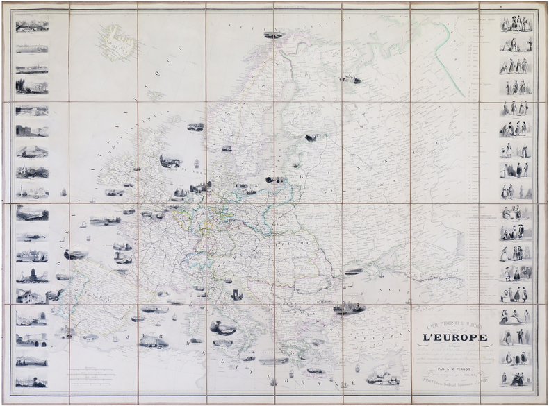
1861LBW-7914Paris, Fatout, 1861. 612 x 842 mm.
Carta geografica del continente derivante da quella di Nicolas Sanson, edita a Parigi alla metà del XVII secolo.Editore, incisore e libraio, Paolo Petrini è attivo a Napoli tra il 1692 ed il 1748, realizzando numerose opere grafiche e topografiche, molto spesso derivandole da quelle di Sanson e Nicolas de Fer. La sua produzione è molto vasta e comprende centinaia di carte, molte delle quali ispirate al Mercurio Geografico della tipografia De Rossi di Roma. Tutta la sua opera è estremamente rara.E’ molto probabile che il Petrini, piccolo editore locale con rari scambi all’estero, si ispiri alla carta dell’Asia del De Rossi che deriva dall’originale del Sanson. Incisione in rame, coloritura coeva con ritocchi, in eccellente stato di conservazione. Paolo Petrini, publisher, engraver and book trader, worked in Naples between 1692 and 1748, realizing cartographic and topographic works, very often after Sanson’s and Nicolas de Fer’s prints. His huge production includes hundreds of maps, especially those inspired to the Mercurio Geografico, and is extremely rare. As a matter of fact, this map derives probably from the one realized by De Rossi, who I his turn took inspiration from Sanson. Copper engraving, contemporary colour with touches, in excellent condition.
110519A La Haye, chez les Libraires Associés, 1776, 7 volumes in-12 de 190x115 mm environ, Tome 1 : 2 ff.blancs, portrait-frontispice, xij-482 pages, 1 carte dépliante, 2 ff.blancs, avec une planche hors-texte, - Tome 2 : 1f.blanc, viij-448 pages, 1 carte dépliante, 1f.blanc, avec planche hors-texte, - Tome 3 : 1f.blanc, xij-468 pages, 1carte dépliante, 1f.blanc, avec une planche hors-texte, - Tome 4 : 1f.blanc, viij-311 pages, 1 carte dépliante, 1f.blanc, avec une planche hors-texte, - Tome 5 : 1f.blanc, xj-311 pages, 1 carte dépliante, 1f.blanc, avec une planche hors-texte, - Tome 6 : 1f.blanc, viij-296 pages, 1 carte dépliante, 1 f.blanc, avec une planche hors-texte, - Tome 7 : 1f.blanc, 331 pages, 1 carte dépliante, 1f.blanc, avec une planche hors-texte. demi basane havane, titres et tomaisons dorés sur dos lisses, ornés de frises et petits fers dorés, tranches jaspées.Des rousseurs et pages brunies, quelques cernes par endroits, petits trous de ver et galeries sur le cuir, des déchirures sans manque sur les cartes (une carte restaurée, tome 3).Complet des 7 frontispices (1 portrait, 6 planches de Eisen) et des cartes dépliantes.