Donnert, Erich (Hrsg.)Antiquariat.de

34 272 résultats
19971186637Köln; Weimar; Wien: Böhlau Verlag, 1997. XX, 612 / VIII, 663 / IX, 801 / VIII, 754 / XIV, 822 / X, 1114 Seiten; graph. Darst.; fadengeh. Originalleinenbände.
18404692, , 1840. 1 carte coloriée, entoilée et repliée de 45 x 53 cm.
196646570Darmstadt, Berlin, Europ Export Edition GmbH / ABC Verlagshaus, 1966. 4°; 74 / 2928 / 60 Seiten; [Deutsch / Englisch / Französisch / Italienisch / Spanisch]; [5 Warenabbildungen] 7. Auflage Orig.-Leinen ausgesondertes Bibl.-Expl. Mit Stempeln; vord. Gelenk oben geplatzt (ca. 10cm); Einband stark ausgeblichen / lichtrandig, bestaubt; vordere Seiten mit schmalem seitlichen Ausschnitt - als "Daumenregister" f.d. Titelblatt, Papier gebräunt, teils fingerflec
1610LBW0618bDordrecht Adrianus Bottius 1610 143 x 178 mm.
1598LBW-1406Anvers 1598 80 x 105 mm.
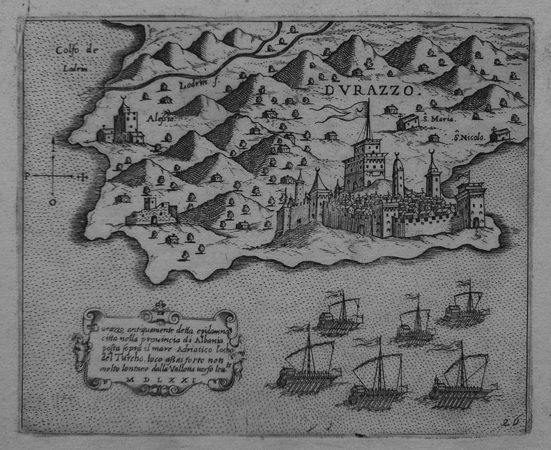
1572LBW-1465[Venise, 1572]. 158 x 219 mm.
1572LBW-1464[Venise, 1572]. 156 x 212 mm.
1572LBW-1454[Venise, 1572]. 147 x 181 mm.
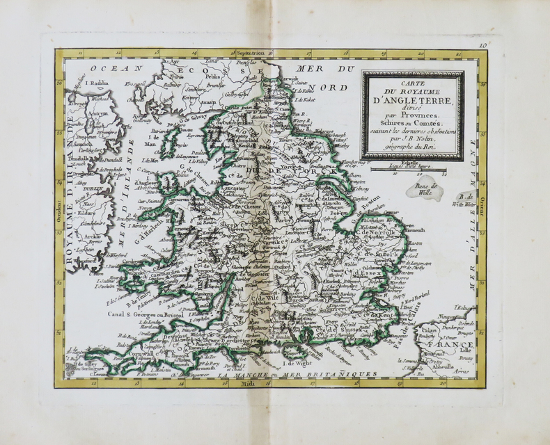
1748LBW002afParis 1748 230 x 310 mm.
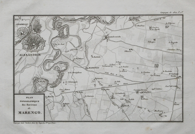
1820LBW-4457[circa 1820]. 165 x 261 mm.
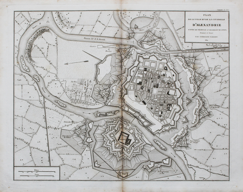
1822LBW-44721822. 367 x 468 mm.
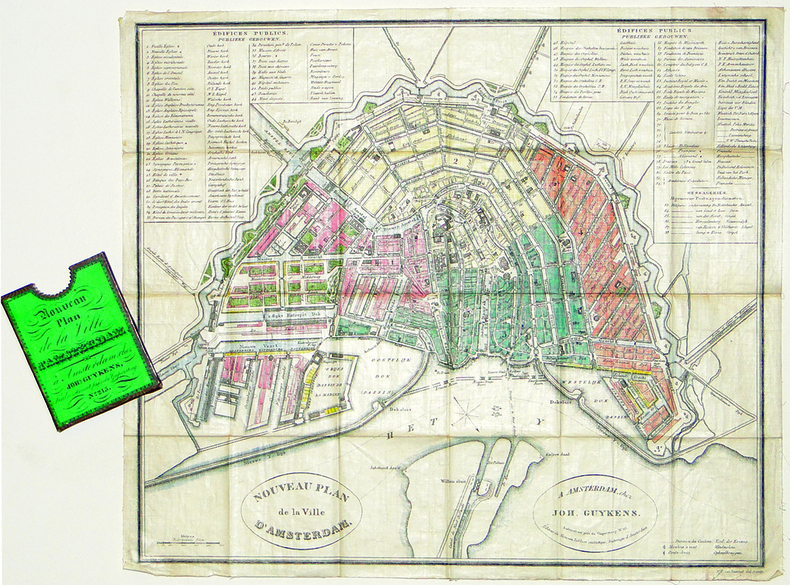
1839LBW-2777Amsterdam, Joh. Guykens, 1839. 335 x 385 mm, imprimé sur soie et replié dans son étui d'éditeur.
1617LBW-1926[Arnhem, Joannes Jansson, 1617]. 130 x 168 mm.
1598LBW-1407Anvers 1598 82 x 106 mm.
1649LBW-3592[1649]. 216 x 344 mm.
1610LBW06160[Dordrecht, Adrianus Bottius, 1610]. 145 x 183 mm.
1791LBW-4840[Paris, Mondhare, 1791]. 203 x 258 mm.
1576LBW004f5Venise 1576 104 x 142 mm.
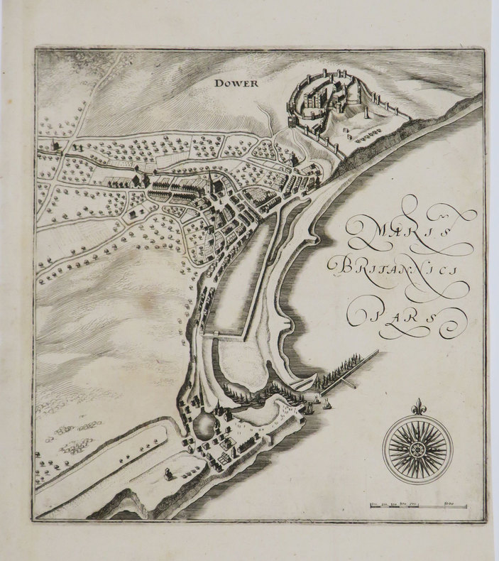
1649LBW-3446[1649]. 218 x 208 mm.
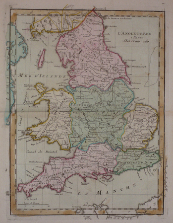
1767LBW03d7a[Paris, Crépy, 1767]. 285 x 215 mm.
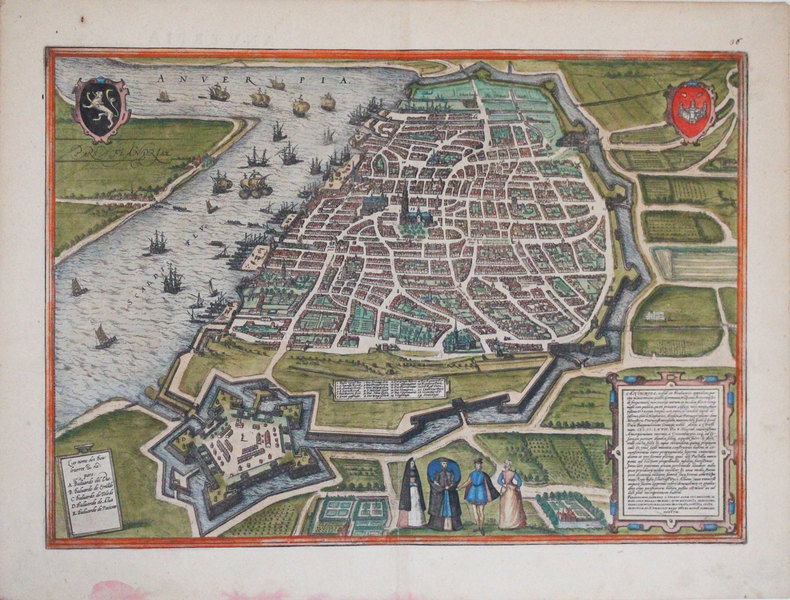
1572LBW-3249[Cologne, 1572]. 338 x 479 mm.
1820LBW-4524[circa 1820]. 368 x 464 mm.
LBW0029d[circa 1730]. 298 x 456 mm.
Atlante nautico del Mar Mediterraneo dell'idrografo francese François Olivier.In-folio (405x570 mm), cartonato coevo con titolo manoscritto sul piatto contenente 4 carte geografiche a doppia pagina, raffiguranti l coste atlantiche dell'Europa, la carta generale del Mediterraneo (2 fogli) e il Mar Egeo. Cartone leggermente liso, carte in buono stato di conservazione.Atlante nautico di soli quattro fogli, destinato alla navigazione nel Mediterraneo.Comprende:- Nouvelle Carte de la Mer Méditerranée jusques au Cap S. Vincent et Cap Cantin. Dédiée à Monseigneur le Comte de Maurepas, Ministre et Secretaire d’Etat, par Son tres humble et tres Obeissant Serviteur F. Olivier, pilote vice-amiral au departemt de toulon, Corrigée sur Ses Observations, Sur Celles de Son frère et autres pilotes entretenus du Roy, et Cap.nes Marchands. 1746. Dressée par Ordre. (carta in due fogli del Mediterraneo, dimensioni 555x780 mm ciascuno. Sotto al cartiglio allegorico troviamo la firma dell’incisore della lastra: Faure Sculpxit, Doumet inv.)- Carte de l'Archipel aussi Corrigée par F. Olivier Pilote Vice-Amiral au Department de Toulon (carta dell'Egeo, dimensioni 550x790 mm)- Nouvelle Carte Conténant les Isles Canaries […] Cette Carte est Corrigée par Francois Olivier Pilote Vice Amiral à ce department de Toulon […] 1754 (carta delle coste atlantiche dell'Europa, dimensioni 790x555 mm).Seconda edizione dell'atlante nautico di Olivier. Sotto al cartiglio della carta del Mediterraneo, in alto a sinistra nel foglio occidentale, viene aggiunto: A. P. D. R. 1782 (avec privilege du Roy). Nel riquadro in basso, dove ci sono le avvertenze per i lettori, viene aggiunto l’imprint Chez Boéry Libraire Et Papetier Sur Le Port A Toulon. 1775. Nel foglio occidentale, in un riquadro posto in basso, si legge: Comme lòn ne Saurois prendre trop de precaution pour Rendre la Navigation plus Assuree, je me Suis attaché a Coriger Cette Carte, les grandes Obs.tions que je ay faites provveront Mon aplication. Et Veulant la mettre en plus grand point, et plus fidelle Sil et possible, je, prie Messieurs les Marins de me favoriser de leurs Remarques. Jay marqué tous le dangers qu’on ma donnés, je Souhaite de tout mon Coeur qu’ il ny en ait point tant, mais il faut toujours Sen mesier. Les points Marquées pres les Ilses de S.t Pierre ce Sont de fonds blanc on peut y passer dessus.Le uniche notizie relative a François Olivier (attivo 1746-1782) sono quelle dedotte dalle sue rarissime carte nautiche. sappiamo che era un pilota di vascello, Vice Ammiraglio della regione di Tolone perché in questa carta si definisce Vice amiral au Departement de Toulon. Intorno alla metà del XVIII sec. Tolone era diventata una delle basi navali più importanti della Francia, sede della più grande flotta mediterranea. Questa tavola viene dedicata a Jean-Frédéric Phélypeaux, conte de Maurepas e Segretario della Marina. Se escludiamo le tavole iniziali di Henry Michelot & Laurent Bremond, si tratta della prima pubblicazione nautica indipendente realizzata nel periodo di egemonia del Dépôt des cartes et plans de la Marine, che dal 1720 in poi aveva assunto il controllo della produzione cartografica. Non abbiamo reperito notizie su Julien Boéry; nell’opera Leçons de navigation di M. Deulage (Rouen 1784), prima del frontespizio, si legge: Ce livre se vend a Toulon chez Julien Boéry; possiamo ipotizzare, quindi, che Boéry, fosse un piccolo editore, tipografo e libraio specializzato nella vendita di carte, libri e strumenti nautici, con sede sul porto di Tolone che, in quel periodo era - insieme a Marsiglia - il più importante porto francese sul Mediterraneo, sede della Marina Militare. La carta del Mediterraneo è parte di un atlante nautico da bordo, composto da solo 4 carte, che consentiva al navigatore di potersi spostare dalle coste atlantiche dell’Europa sino al Mar Egeo.Bellissimo esemplare di questo raro atlante nautico.Bibliografia: cfr. O.... Nautical Atlas of the Mediterranean Sea by the French hydrograph François Olivier.In-folio (405x570 mm), original cardboard with manuscript title on the plate containing 4 double-page chartes, depicting the Atlantic coasts of Europe, the general map of the Mediterranean (2 sheets) and the Aegean Sea. Slightly worn cardboard, maps in good condition.Nautical Atlas of only four sheets, intended for navigation in the Mediterranean.Include:- Nouvelle Carte de la Mer Méditerranée jusques au Cap S. Vincent et Cap Cantin. Dédiée à Monseigneur le Comte de Maurepas, Ministre et Secretaire d’Etat, par Son tres humble et tres Obeissant Serviteur F. Olivier, pilote vice-amiral au departemt de toulon, Corrigée sur Ses Observations, Sur Celles de Son frère et autres pilotes entretenus du Roy, et Cap.nes Marchands. 1746. Dressée par Ordre. (2 sheets chart of the Mediterranean Sea, size 555x780 mm each one. Signed: Faure Sculpxit, Doumet inv.)- Carte de l'Archipel aussi Corrigée par F. Olivier Pilote Vice-Amiral au Department de Toulon (chart of Aegean Sea, size 550x790 mm)- Nouvelle Carte Conténant les Isles Canaries […] Cette Carte est Corrigée par Francois Olivier Pilote Vice Amiral à ce department de Toulon […] 1754 (chart of the Atlantic Coast of Europe, size 790x555 mm).Second edition of Olivier's nautical Atlas. In the Mediterranean chart, at the top left of the western sheet, is added: A. P. D. R. 1782 (avec privilege du Roy). In the lower cartouche of the map the imprint: Chez Boéry Libraire Et Papetier Sur Le Port is added to Toulon. 1775.In the western sheet, in a box at the bottom, we read: Comme lòn ne Saurois prendre trop de precaution pour Rendre la Navigation plus Assuree, je me Suis attaché a Coriger Cette Carte, les grandes Obs.tions que je ay faites provveront Mon aplication. Et Veulant la mettre en plus grand point, et plus fidelle Sil et possible, je, prie Messieurs les Marins de me favoriser de leurs Remarques. Jay marqué tous le dangers qu’on ma donnés, je Souhaite de tout mon Coeur qu’ il ny en ait point tant, mais il faut toujours Sen mesier. Les points Marquées pres les Ilses de S.t Pierre ce Sont de fonds blanc on peut y passer dessus.The only news related to François Olivier (active 1746-1782) are those deduced from his very rare nautical charts. We know that he was a vessel pilot, Vice Admiral of the Toulon region because he defines himself as Vice amiral au Departement de Toulon. Around the middle of the 18th century Toulon had become one of the most important naval bases in France, home of the largest Mediterranean fleet. This chart is dedicated to Jean-Frédéric Phélypeaux, count de Maurepas and Secretary of the Navy. If we exclude the initial charts of Henry Michelot & Laurent Bremond, this is the first independent nautical publication made in the hegemonic period of the Dépôt des cartes et plans de la Marine, which from 1720 onwards had assumed control of cartographic production.We did not find out any notice about Julien Boéry; in the work "Leçons de navigation" by M. Deulage (Rouen 1784), before the title page, we read: Ce livre se vend a Toulon chez Julien Boéry; we can therefore hypothesize that Boéry was a small publisher, typographer and bookseller specialized in the sale of nautical charts, books and instruments, based in the port of Toulon which, at that time was - together with Marseille - the most important French port on the Mediterranean, home of the Navy. The Mediterranean chart is part of a nautical Atlas, of only 4 plates, which allowed the navigator to move from the Atlantic coasts of Europe to the Aegean Sea.Beautiful example of this rare Atlas.Bibliografia: cfr. O. Chapuis, A la mer comme au ciel: Beautemps-Beaupré & la naissance de lhydrographie, Parigi, 1999, pp. 151-2; National Maritime Museum, Catalogue of the Library - Vol. Three, Atlas & Cartography, Londra, 1971, p. 313, n. 260 (1, 2). S. Bifolco, "Mare Nostrum, Cartografia nautica a stampa del Mar Mediterraneo" (2020), pp. 278-279, tav. 130.
LBW0417bAmsterdam, [circa 1700]. 500 x 582 mm.