54 318 résultats
39479P., Hachette, 1969, i 8° broché, 255 pages ; illustrations.
1962852581962 Paris, Sélection des Amis du Livre, 1962, fort volume in 8° relié pleine toile verte décorée de l'éditeur, 462 pages ; illustrations hors-texte en noir.
19088123London: Macmillan and Co. Very Good with no dust jacket. 1908. First Printing. Hard Cover. Publisher's full black cloth gilt lettering on spine gilt Hermes medallion on cover t.e.g. Illustrated with numerous full-page B&W photographs tissue-protected color frontispiece photograph two color maps Campania and Herculaneum and color fold-out plan of the Villa Suburbana. . Covers rubbed light foxing on several pages all illustrations bright and clean unmarked tight and square. VERY GOOD. Color frontispiece Color and B&W Plates and Maps. 4to 11" - 13" tall. xxii i 324 pp . Macmillan and Co. hardcover
Rara ed importante carta della penisola, tratta dalla prima edizione della Geographie Opus Novissima Traductione e Grecorum Archetypis curata dal Waldseemuller ed edita da Johannes Schott nel 1513. L’opera è considerata come il primo atlante moderno, preparato usando la traduzione dal greco di Mathias Ringmann; si tratta di una delle più importanti edizioni del Tolomeo, contenente molte nuove mappe della regioni. Sono 20 le carte aggiunte, basate sulle nuove scoperte e conoscenze, oltre al consueto corpo di 27 carte che compongono la Geografia di Tolomeo, basate sull’atlante edito a Ulm nel 1482. Borri la descrive: “Nell’Italia settentrionale l’orografia risulta assai semplificata; è del tutto inesistente nelle altre parti. I monti non hanno più conformazione a placca lineare ma sono rappresentati da coni accumulati, leggermente arrotondati e con ombra a destra. Le medesime semplificazioni si riscontrano per il sistema idrografico, anch’esso inesistente al centro ed al Sud, con la sola eccezione di un breve tratto del fiume Tevere. La carta deriva da quella del Berlinghieri e perciò in essa è stata introdotta la normale orientazione, con l’eliminazione delle imperfezioni tolemaiche e con l’aggiunta dei nuovi elementi tratti dalle carte nautiche”. Xilografia, scala graduata con lieve coloritura coeva, pieni margini, in straordinario stato di conservazione. Eccellente esemplare di questa rarissima carta della penisola, una delle più importanti rappresentazioni a stampa. Bibliografia: Borri p. 17, 16; Almagià (1927) p. 11b; Perini pp. 22/25. A rare and important map of the peninsula, taken from the first edition of the Geographie Opus Novissima Traductione e Grecorum, 1513. The first modern atlas, prepared by Martin Waldseemuller using the translation of Mathias Ringmann. This is one of the most important editions of ptolemy, containing many new regional maps. Twenty new maps based on contemporary knowledge were included in addition to the traditional body of twenty-seven Ptolemaic maps derived from the 1482 Ulm edition. Schott's edition was commenced by the most famous of all early sixteenth-century cosmographers, Martin Waldseemuller and his associate Mathias Ringmann, partly at the expense of Duke Rene of Lorraine. It was brought to completion by Jacobus Eszler and Georgius Ubelin. The atlas contains the first map in an atlas entirely devoted to america (Tabula terre nove), often called the "Admiral's map" after Columbus. The map of Lotharingia (the first map of the Duchy of Lorrain), printed in black, red and olive, is one the earliest examples of colour-printing. This edition was reprinted in 1520 using the same woodcut blocks. Borri: “In Northern Italy orographic is much more simplified and it doesn’t exist in other parts. The mounts have not the linear plate form, but are depictes like a bunch of cones, lightly round with shadow on the right. Extremely simplified also the representation of the hydrographic system especially in the South. The only exception is the course of the Tiber. This map derives from Berlinghieri’s and thus it shows the common orientation, the cancellation of ptolemaic errors and the addition of new elements from sea charts”. Woodcut, light contemporary colour, full margins, in excellent condition. Extraordinary example of a rare map, one of the most important prints ever realized on the peninsula. Literature Borri p. 17, 16; Almagià p. 11b; Perini pp. 22/25. Borri p. 17, 16; Almagià p. 11b; Perini pp. 22/25.
Rara ed importante carta della penisola, tratta dalla prima edizione della Geographie Opus Novissima Traductione e Grecorum Archetypis curata dal Waldseemuller ed edita da Johannes Schott nel 1513. L’opera è considerata come il primo atlante moderno, preparato usando la traduzione dal greco di Mathias Ringmann; si tratta di una delle più importanti edizioni del Tolomeo, contenente molte nuove mappe della regioni. Sono 20 le carte aggiunte, basate sulle nuove scoperte e conoscenze, oltre al consueto corpo di 27 carte che compongono la Geografia di Tolomeo, basate sull’atlante edito a Ulm nel 1482. La Tabula Moderna presenta la gradazione su tre lati (manca sul lato Nord), due scale grafiche (di Italia e Germania) sul lato Sud.Borri la descrive così: "L'orografia assume un aspetto meno libeare, più articolato e variegato rispetto a quello della tavola antica, con bordi molto meno ombreggiati; il sistema idrografico, pressochè dipendente, appare notevolmente arrichito, con la presenza, in discreta collocazione, di tutti i grandi laghi del Nord (compreso il Pennino e quello di Lugano) e dell'Italia centro-meridionale (compreso quello di Bolsena). Anche il numero delle città risulta più elevato e con una più esatta collocazione. Il contorno della penisola invece è quasi identico a quello della tavola antica, eccezion fatta per alcuni promontori (vedi, ad esempio, quelli di Monaco e del Gargano)".Xilografia, con pieni margini, in perfetto stato di conservazione.Splendido esemplare di un'opera rara ed importante. A rare and important map of the peninsula, taken from the first edition of the Geographie Opus Novissima Traductione e Grecorum, 1513. The first modern atlas, prepared by Martin Waldseemuller using the translation of Mathias Ringmann. This is one of the most important editions of ptolemy, containing many new regional maps. Twenty new maps based on contemporary knowledge were included in addition to the traditional body of twenty - seven Ptolemaic maps derived from the 1482 Ulm edition. Schott's edition was commenced by the most famous of all early sixteenth - century cosmographers, Martin Waldseemuller and his associate Mathias Ringmann, partly at the expense of Duke Rene of Lorraine. It was brought to completion by Jacobus Eszler and Georgius Ubelin. Commentary by Roberto Borri: "L'orografia assume un aspetto meno libeare, più articolato e variegato rispetto a quello della tavola antica, con bordi molto meno ombreggiati; il sistema idrografico, pressochè dipendente, appare notevolmente arrichito, con la presenza, in discreta collocazione, di tutti i grandi laghi del Nord (compreso il Pennino e quello di Lugano) e dell'Italia centro-meridionale (compreso quello di Bolsena). Anche il numero delle città risulta più elevato e con una più esatta collocazione. Il contorno della penisola invece è quasi identico a quello della tavola antica, eccezion fatta per alcuni promontori (vedi, ad esempio, quelli di Monaco e del Gargano)".Woodcut, with full margins, very fine condition. Karrow, 80/40; Borri, 16; Almagià p. 11b; Perini pp. 22 / 25.
1990142375Barr : Edition Izi 1990. 16 Seiten. Leporello zum Ausfalten. Originalbroschur mit mont. Titelbild. (Gebrauchsspuren). 21x15 cm
In-4, mezza tela editoriale, pp. 28, con 45 tavole fuori testo in bianco e nero e a colori. Edizione in inglese. In buono stato (good copy).
19771092901977 Editions de la Différence, Collection "L'Apparence" - 1977 - In-4, cartonnage marron illustré en couleurs de l'éditeur - 149 p. - Nombreuses reproductions d'oeuvres d'art in, hors-texte et pleine page en ciouleurs et en N&B
Carta geografica dell'Italia, antica ed originale, Autore: Walch Johannes edit.. Luogo: Italia. Anno: 1812. Tecnica: incisione in rame. Dimensioni: 210x250 il foglio. Coloritura coeva
Carta raffigurante il territorio della Repubblica Cisalpina. Interessante notare la mancanza della raffigurazione dell’appennino ligure. Stato non menzionato nella bibliografia di riferimento. Bibliografia: Davoli, Sanfelici, p. 22, n° 4
200331207ABMilano., ediziona Gabriele Mazzotta., 2003. 4°. 126 S. OKarton mit OKLappenumschlag / Soft Cover. 1. Auflage / First edition. Verlagsfrisches, neuwertiges Exemplar / Fine copy as new.
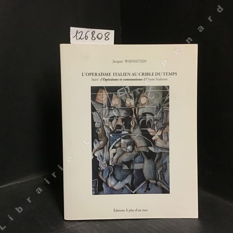
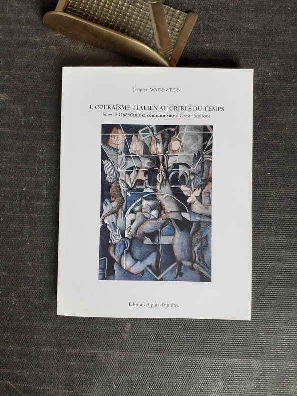
20211268082021 Editions A plus d'un titre - 2021 - In-8 broché, couverture illustrée - 243 pages
QWA-16516La Bauche (73), Editions A plus d'un titre, 2021, gr. in-8 br. (17 x 22), 243 p., état de neuf.
198156927ABBasel und Frankfurt/M, Helbing & Lichtenhahn Verlag, (1981). 8° (23x16), 184 S., mit 32 fotograf Aufnahmen, Oln mit fotoill OU, Umschlagrücken aufgehellt, sonst nahezu ungelesen, schönes gepflegtes Exemplar,
20x15. 286p. Trad. D. Múñoz. Enc. Tela ed.
145-Io.J. Bleistift, auf Velin, rechts unten bezeichnet und datiert ?Villa Borghese 24. Januar à Roma 1838?. 33,3:47,7 cm. Provenienz: Sammlung Franz Meyer. Die ganz im Geiste der Romantik stehende Zeichnung besticht durch eine zarte und sichere Zeichenführung. Die Datierung lässt zudem den Schluss zu, dass Wagner eine weitere Reise nach Italien im Jahr 1938 unternahm.
110-Io.J. Bleistift, braun laviert, auf cremefarbenem Bütten, links unten bezeichnet und datiert ?Albano den 1 (oder 2.) July 24?. 27,4:19,7 cm. Auf Untersatz montiert, mit vereinzelten kleinen Stockfleckchen, kleine Knickfalte in der linken oberen Ecke. Provenienz: Sammlung Anton (?) Heubach, nicht bei Lugt. Entstanden auf der Wanderung mit E.F. Oehme und A.L. Richter in das Albanergebirge im Mai/July 1824.
illustrazioni
Questa rara mappa è inserita nel libro di Franz Wagner "Einleitung in die alte und neuere Geographia.." pubblicato a Vienna nel 1737 da Leopold Hodl e Gregory Kurtzbock. Incisione in rame, coloritura coeva, in ottimo stato di conservazione. This map was prepared for Franz Wagner's Einleitung in die alte und neuere Geographia... , a book dealing with ancient and modern geography. This is a rare map. Franz Wagner's Einleitung in die alte und neuere Geographia... was published in Vienna in 1737. The publisher was Leopold Hodl and the printer was Gregory Kurtzbock. It is believed that there was only one edition of this book. It is not known if this map appeared in other books from this period. I. Principe "Carte geografiche di Calabria nella raccolta Zerbi", p. 130.
Questa rara mappa è inserita nel libro di Franz Wagner "Einleitung in die alte und neuere Geographia." pubblicato a Vienna nel 1737 da Leopold Hodl e Gregory Kurtzbock. Incisione in rame, coloritura coeva, in ottimo stato di conservazione. This map was prepared for Franz Wagner's Einleitung in die alte und neuere Geographia. , a book dealing with ancient and modern geography. This is a rare map. Franz Wagner's Einleitung in die alte und neuere Geographia. was published in Vienna in 1737. The publisher was Leopold Hodl and the printer was Gregory Kurtzbock. It is believed that there was only one edition of this book. It is not known if this map appeared in other books from this period.
F14253, Groningen / Batavia, Wolters, 1946, 214pp., met ills., gecart., F14253
Groningen / Batavia, Wolters, 1946, 214pp., met ills., gecart., F14253
19809303E. J. Brill. 1980. Softcover. Good. Scholar's name to ffep with his underlining and marginalia in red and black pen. Small stains to back wrap. No other defects.; Studies in Greek and Roman Religion Vol 1; 264 pages; Collection of Wagenvoort's papers in an English translation. . 9004061959 . E. J. Brill paperback
ria9781138377011_inpPaperback / softback. New. New Book; Fast Shipping from UK; Not signed; Not First Edition; This book examines how the institutional arrangements of Private Interest Governments have changed since their identification. It takes into account external changes such as Europeanization globalization liberalization and sector-spe paperback
87900aafLeipzig, E. A. Seemann, 1927, in-8vo, 315 S. mit 146 Kupfertiefdrucken und 1 Farbtafel, Original-Leinenband mit OU.