Lotter, Georg FriderichAntiquariat.de

9 209 résultats
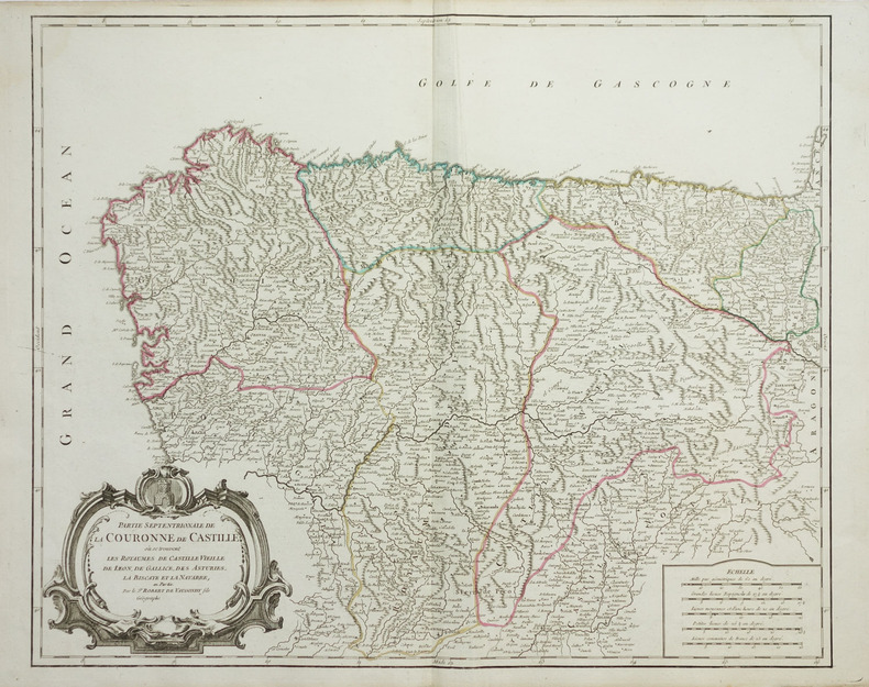
1762910394CGAugsburg, Tobias Conrad Lotter, 1762. Altkolorierter Kupferstich 57,5 x 48,5 cm, Blattgröße 60,5 x 52,5 cm.
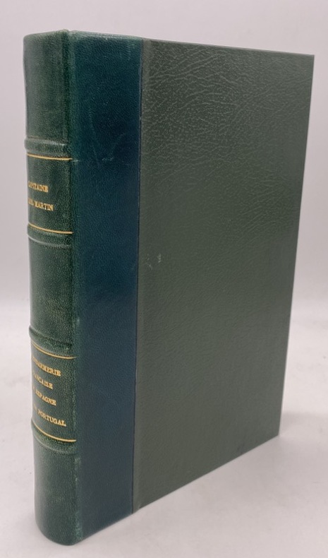
222444Paris, Léautey, 1898 gr. in-8, 478 pp., ill., demi-basane verte, dos à nerfs, couv. cons. (reliure postérieure).
1727LBW024f11727 174 x 254 mm.
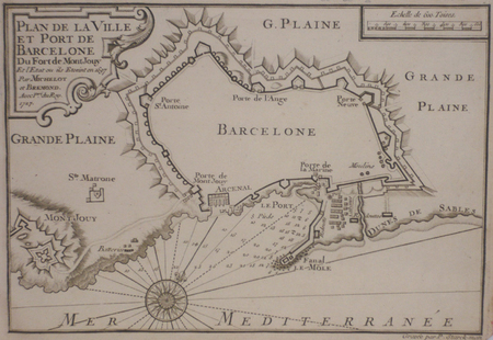
Carta nautica tratta dal raro Recueil de Plusiereurs Plans des Ports et Rades de la Mer Mediterranée Dediée A Monseigneur le Grand Prieur de France, General des Galeres Levé et Dessigné sur les Lieux par les Srs. Michelot Hydrographe et Pilote Real des Galeres du Roy et Bremond Hydrographe du Roy et de la Ville, avec Pri.ge Du Roy (1727), atlante nautico di 37 tavole, stampato a Marsiglia. I piani nautici sono incisi da Pieter Starckman, uno dei più attivi intagliatori dell’epoca, collaboratore di molti cartografi ed editori. Secondo Shirley [cfr. Maps in the Atlases of the British Library, p. 1234] la prima edizione dell’opera contiene 21 tavole, mentre la ristampa, senza data, contiene 37 tavole delle quali alcune datate 1730. La terza, e ultima, contiene 38 tavole e reca la data 1732. Henry Michelot, dopo il successo riscosso con la pubblicazione della sua guida nautica Le Portulan de Partie de la Mer Méditerranée, ou Le vray Guide des Pilotes Costiers (1703), si unì a Laurent Bremond. All’inizio del XVIII secolo Henry Michelot e Laurens Bremond pubblicarono due importanti atlanti nautici del Mediterraneo e piani nautici ampiamente utilizzati dai naviganti costieri. Le carte sono interessanti e importanti per l’attendibilità derivata dall’esperienza di Michelot che, a differenza dei successivi “geografi del Dépôt des cartes et plans de la Marine” come Jacques-Nicolas Bellin, ha avuto una lunga esperienza in mare. Il primo atlante prodotto contiene 16 carte, su piccola scala, del Mediterraneo e della costa atlantica in prossimità dello stretto di Gibilterra, integrate da una o più profili costieri. Le date delle carte sono comprese tra il 1715 e il 1726; in questo periodo Michelot si firmava come Hydrographe et Pilote Real des Galères du Roy (idrografo e pilota della cambusa reale per il corpo della galea dei re). Poco si sa del co-creatore dell’opera Laurent Bremond. Nella raccolta nautica il suo nome succede sempre a quello di Michelot, e viene qualificato come Hydrographe du Roy et de la Ville (idrografo del re e della città). Bremond sembrerebbe essere stato l’editore e il venditore della raccolta nautica, la forza commerciale della società; titolare di una sorta di negozio vicino al porto. Tutte le carte sono chiaramente contrassegnate: Ce vendent a Marseille chez Laurens Bremond sur le Port au coin de Reboul (venduto a Marsiglia da Laurens Bremond nel porto all’angolo di Reboul). Incisione in rame, in ottimo stato di conservazione. Bibliografia S. Bifolco, Mare Nostrum (2019), pp. 270-271, tav. 122; Palau, 168325. Tooley, 438,80. Nautical chart taken from the rare Recueil de Plusiereurs Plans des Ports et Rades de la Mer Mediterranée Dediée A Monseigneur le Grand Prieur de France, General des Galeres Levé et Dessigné sur les Lieux par les Srs. Michelot Hydrographe et Pilote Real des Galeres du Roy et Bremond Hydrographe du Roy et de la Ville, avec Pri.ge Du Roy (1727), nautical atlas of 37 plates, printed in Marseilles. The nautical plans are engraved by Pieter Starckman, one of the most active engravers of the time, collaborator of many cartographers and publishers. According to Shirley [see Maps in the Atlases of the British Library, p. 1234] the first edition of the work contains 21 plates, while the reprint, undated, contains 37 plates, some of which are dated 1730. The third and last edition contains 38 plates and is dated 1732. Henry Michelot, after the success achieved with the publication of his nautical guide Le Portulan de Partie de la Mer Méditerranée, ou Le vray Guide des Pilotes Costiers (1703), joined Laurent Bremond. In the early 18th century Henry Michelot and Laurens Bremond published two important nautical atlases of the Mediterranean and nautical plans widely used by coastal mariners. The charts are interesting and important for the reliability derived from the experience of Michelot who, unlike later "geographers of the Dépôt des cartes et plans de la Marine" such as Jacques-Nicolas Bellin, had long experience at sea. The first atlas produced contains 16 maps, on a small scale, of the Mediterranean and the Atlantic coast near the Strait of Gibraltar, supplemented by one or more coastal profiles. The dates of the charts are between 1715 and 1726; at this time Michelot signed himself as Hydrographe et Pilote Real des Galères du Roy (hydrographer and pilot of the royal galley for the kings' galley corps). Little is known about the co-creator of the work Laurent Bremond. In the nautical collection his name always succeeds that of Michelot, and he is qualified as Hydrographe du Roy et de la Ville (hydrographer of the king and the city). Bremond would seem to have been the publisher and seller of the nautical collection, the commercial force of the company; owner of a sort of store near the port. All charts are clearly marked: Ce vendent a Marseille chez Laurens Bremond sur le Port au coin de Reboul (sold in Marseille by Laurens Bremond in the port at the corner of Reboul). Copper engraving, in excellent condition. Literature S. Bifolco, Mare Nostrum (2019), pp. 270-271, tav. 122; Palau, 168325. Tooley, 438.80.
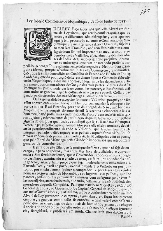
1755LBW-7644Lisboa, 1755. In-4 de (2) pp., broché.
51911Amstelodami ( Amsterdam ) Impensis Johannis Jansonii 1642 in 16 (13,5x8) 1 volume relié pleine basane fauve marbrée, dos à nerfs orné, page de titre avec encadrement gravé sur bois, 5 feuillets préliminaires non chiffrés, 610 pages. Angelo Poliziano (Ange Politien, Montepulciano 1454 - Florence 1494, humaniste italien). Bon exemplaire ( Photographies sur demande / We can send pictures of this book on simple request )
89168Nürnberg Johann Baptist Homann ca. 1730. . Verso zwei aufgewalzte Kupferstiche aus Allain M. Mallet's "Beschreibung Des gantzen Welt-Kreises. " Taf. CXXIX: Belem; Taf. CXXVI: Inquisition; je 17 x 12 cm. - Dekorative Kartusche mit Legende u. allegorischen Randfiguren. Zwei kleine Seeschlachtminiaturen von 1702 bzw. 1704 vor d. Atlantikküste Span. Erbfolgekrieg 1702-1714; Karl III. - Das gebrauchsspurige Blatt schwach gebräunt partiell etwas wellig mit Fehlecken u. unterlegten Randläsuren; Hinterlegung einer Schwachstelle darunter kl. Loch am oberen Mittelfalz. Verso Bezeichn. u. Num. von alter Hand. Nürnberg, Johann Baptist Homann, [ca. 1730]. unknown
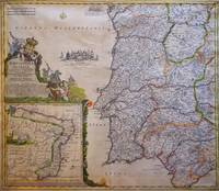
173089168Nürnberg, Johann Baptist Homann, [ca. 1730]. 1 grenzkolor. Karte von Portugal mit Teilen Westspaniens sowie NEBENKARTE der Überseebesitzung Brasilien "Regnum Brasiliae in America Australis" (20 x 20 cm), kolor. figürl. Titel- u. Wappenkartusche u. Meilenzeiger. Bildgröße ca. 49 x 57 cm. Mittelbugfalte.
Carta tratta dalla "Geographia di Claudio Tolomeo", a cura del Ruscelli, pubblicata in Venezia in pù edizioni tra il 1561 ed il 1598. La carta è basata sulla "Geografia" di Giacomo Gastaldi, che probabilmente disegnò personalmente anche queste mappe, che vennero incise dai fratelli Sanuto. La peculiarità di queste mappe è che sono incise due per lastra e successivamente tagliate; questo il motivo per cui il segno del rame appare solo in tre lati della mappa. Il testo del Ruscelli e le sue carte sono considerate come il miglior atlante moderno fino alla prima versione del Thatrum di Ortelius, 1570. Solo la loro enorme diffusione ne impedisce una valutazione sostenuta nel mercato antiquario. L'opera infatti ebbe una prima stesura nel 1561, stampata da Vincenzo Valgrisi che ne curò anche la ristampa del 1562. Tre sono le edizioni firmate da Giordano Ziletti (due nel 1564 e una del 1574), mentre nel 1597 viene edita dai fratelli Calignani. Tutte queste edizioni contengono 64 tavole. Nel 1598 e 1599 vengono alla luce le due edizioni curate da Giuseppe Rosaccio e stampate dagli Eredi di Melchior Sessa. Queste ultime due edizioni comprendono 69 tavole; sono infatti aggiunte la carta del planisfero e dei continenti del Rosaccio. Map, taken from Ruscelli edition of Ptolemy's "Geographia", printed in Venice from 1561 to 1598. Ruscelli's Atlas is an expanded edition of Gastaldi's "Geografia" of 1548, which has been called the most comprehensive atlas produced between Martin Waldseemüller's Geographiae of 1513, and the Abraham Ortelius Theatrum of 1570. Ruscelli and Gastaldi's maps were beautifully engraved on copper, marking a turning point in the history of cartography. From that point forward, the majority of cartographic works used this medium. As it was a harder material than wood it gave the engraver the ability to render more detail. Gastaldi sought the most up-to-date geographical information available, making the modern maps in Ruscelli's Geographia among the best modern maps of the period. The maps are engraved by the Sanuto borthers.Only their enormous diffusion prevents a sustained evaluation in the antique market. The work in fact had a first issue in 1561, printed by Vincenzo Valgrisi who also edited the reprint of 1562. There are three editions signed by Giordano Ziletti (two in 1564 and one in 1574), while in 1597 it was edited by the Calignani brothers. All these editions contain 64 engraved maps. In 1598 and 1599 the two editions edited by Giuseppe Rosaccio and printed by the heirs of Melchior Sessa come to light. These last two editions include 69 plates; in fact the map of the planisphere and of the continents of Rosaccio are added. Imagens de Portugal e Ilhas Atlanticas, p. 46 n. 9
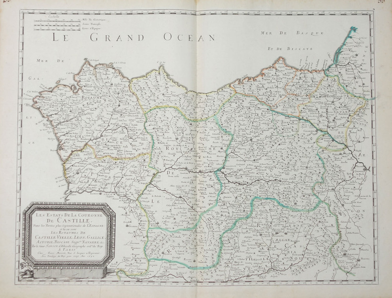
1652LBW-656Paris, Pierre Mariette, 1652. 404 x 533 mm.
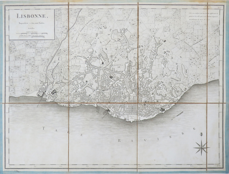
1752LBW-4060[circa 1780]. En 8 sections montées sur toile bordée de soie bleue et pliées, formant un plan de 360 x 473 mm.
Madrid, por Juan Garcia Infançon, vendese en casa de los herederos de Gabriel de Leon, 1689. 4to. 4 hojas, 357 pp., 23 hojas. Pérdida de una linea y letras en dos hojas de índice. Manchas marginales de humedad en las cincuenta primeras páginas Anotaciones marginales y expurgos leves de época. Impresión a doble columna. Ejemplar sin encuadernación. Cubiertas provisionales en cartulina.
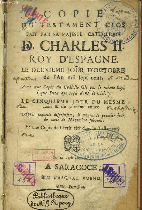
RO80103391BUENO Pasqual, SARAGOCE. Non daté. In-12. Relié. Etat d'usage, Couv. légèrement passée, Dos satisfaisant, Quelques rousseurs. Ouvrage unique de 56 pages. Texte espagnol en regard du texte français, sur 2 colonnes. Etiquette de code sur la coiffe en-tête et tampons de bibliothèque sur la page de titre et dans quelques marges.. . . . Classification Dewey : 946-Espagne, Portugal
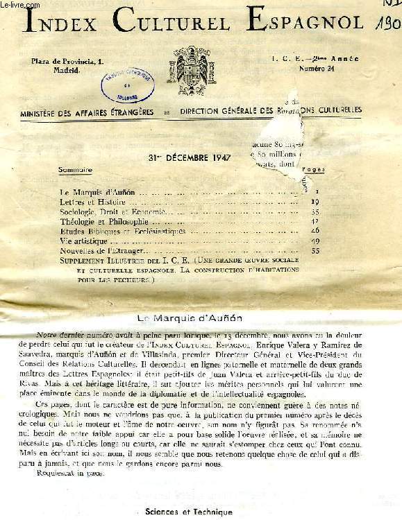
1969RO40187430Ministère des Affaires Etrangères, Madrid. 1947-1969. In-8. Broché. Etat d'usage, Couv. convenable, Dos satisfaisant, Intérieur frais. Env. 80 numéros. Années 1952, 1957-1963 manquantes. Texte en français, et en espagnol. Quelques tampons et annotations de bibliothèque. 1er feuillet du n° 24 de déc. 1947 déchiré avec manque altérant sa lecture.. . . . Classification Dewey : 946-Espagne, Portugal
Ministère des Affaires Etrangères, Madrid. 1947-1969. In-8 Carré. Broché. Etat d'usage. Couv. convenable. Dos satisfaisant. Intérieur frais. Env. 80 numéros. Années 1952, 1957-1963 manquantes. Texte en français, et en espagnol. Quelques tampons et annotations de bibliothèque. 1er feuillet du n° 24 de déc. 1947 déchiré avec manque altérant sa lecture. Très rare. Sommaire du n° 24, déc. 1947: Le Marquis d'Auñon. Lettres et Histoire. Sociologie, Droit et Economie. Théologie et Philosophie. Etudes bibliques et ecclésiastiques. Vie artistique, etc. Sommaire du n° 279-281, avril-juin 1969: Bibliografia y temas generales. Teologia y Ciencias eclesiasticas. Filosofia. derecho. Economia. Sociologia y Politica. Letras...
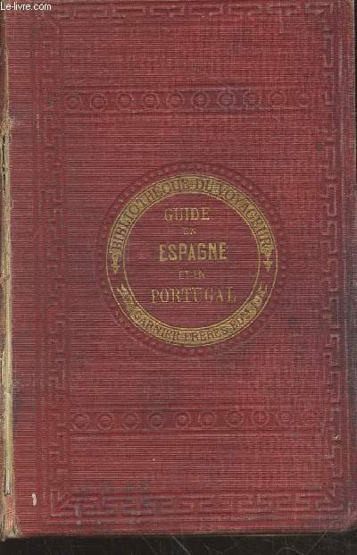
RO20231926Garnier Frères. Non daté. In-12. Relié. Etat d'usage, Couv. légèrement passée, Dos abîmé, Intérieur frais. 517 + 10 pages augmentées de nombreuses Frontispice illustré en noir et blanc sous serpente. Tranches jaspées. Pages 420 à 458 manquantes. Nombreuses illustrations et cartes en noir et blanc dans et hors texte. Premier plat désolidarisé du dos.. . . . Classification Dewey : 946-Espagne, Portugal
1835R100074681Charpentier. 1835. In-8. Relié demi-cuir. Etat d'usage, Plats abîmés, Dos satisfaisant, Quelques rousseurs. XVI+407 pages - titre et filets dorés sur le dos - papier jauni - coins, tranches et plats frottés - dos légèrement craquelé - tampon et manque en pied sur la page de titre - tampon et trace d'encre sur la page IX ne gênant pas la lecture - annotation au crayon à papier et à l'encre sur les contre plats - papier du 1er plat partiellement désolidarisé.. . . . Classification Dewey : 946-Espagne, Portugal
1809R320140975Chez Arthus-Bertrand. 1809. In-8. Relié plein cuir. Etat d'usage, Coins frottés, Dos frotté, Intérieur acceptable. XIV + 464 pages + 415 pages - gravure en noir et blanc sous serpente en frontispice dans les deux tomes - contre plats jaspés - titre, tomaison et filets dorés sur pièce de titre (manque la piece de titre sur le tome 2) - coins, tranches plats et dos frottés.. . . . Classification Dewey : 946-Espagne, Portugal
1868RO40202898Michel Lévy Frères, Paris. 1868. In-8. Broché. Etat d'usage, 1er plat abîmé, Dos abîmé, Non coupé. 268 pages. Etiquette de code sur le dos. Tampons et annotation de bibliothèque en page de titre. Dos très abîmé, avec manques. 1ers cahiers détachés. Rousseurs.. . . . Classification Dewey : 946-Espagne, Portugal
Michel Lévy Frères, Paris. 1868. In-8 Carré. Broché. Etat d'usage. 1er plat abîmé. Dos abîmé. Non coupé. 268 pages. Etiquette de code sur le dos. Tampons et annotation de bibliothèque en page de titre. Dos très abîmé, avec manques. 1ers cahiers détachés. Rousseurs. Introduction historique. Recettes de l'Espagne 1866-7. Ses dépenses 1866-67. Liste civile. Dette publique. Affaires étrangères. Marine, flotte...
1975RO30142717ROBERT LAFFONT. 1975. In-4. Relié. Bon état, Couv. convenable, Dos satisfaisant, Intérieur frais. environ 400 pages par volumes=, augmentées de nombreuses photos et illustrations en couleurs et en noir et blanc dans et hors texte - texte sur plusieurs colonnes - ouvrages sous rhodoïd sauf le tome 4 - étiquette contre collée en coiffe en pied à chaque volumes - tampons de bibliothèques - 3 PHOTOS DISPONIBLES. . . . Classification Dewey : 946-Espagne, Portugal
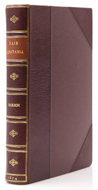
1874316702London: Richard Bentley and Son 1874. First edition. xii 406 1pp. 4to. Bound in three quarters recent maroon morocco and matching cloth sides title label. Fine minor internal foxing. First edition. xii 406 1pp. 4to. With tipped in photo and a 2 page ALS from trhe Sixth Duke of Grafton. Richard Bentley and Son unknown
184663652Lisbon 1846. hardcover. very good. Volume I No. 1. December 16th 1846 through No. 63 July 1847. 4to. scattered foxing half brown morocco and marbled paper covered boards; front joints started but sound. Scarce. All Published.<br/> <br/> A complete run of this "partisan" and patriotic newspaper printed during the upheavals involving Great Britain and Spain. Includes several of the very scarce "supplementos" either bound in or loosely laid in. Very scarce. The NUC shows only 2 complete runs of this political newspaper: one at the Library of Congress and the other at the University of Texas.<br/> <br/> unknown
1842WRCAM16402London 1842. 414pp. Modern half morocco and marbled boards. Fine. An important treaty between Great Britain and Portugal concerning the mutual enforcement of old laws against the importation of slaves from Africa. Printed in English and Portuguese. hardcover books