9 236 résultats
1969R260133898DIPUTACION PROVINCIAL / AYUNTAMIENTO DE LA CIUDAD / CAMARA OFFICIAL DE COMERCIO E INDUSTRIA. 1969. In-Folio. Cartonné. Bon état, Couv. convenable, Dos satisfaisant, Intérieur frais. 208 pages. Jaquette illustrée en couleurs, légèrement passée. Frontispice en couleurs. nombreuses photos et illustration,s en couleurs et noir et blanc dans et hors texte. Texte en espagnol.. Avec Jaquette. . . Classification Dewey : 946-Espagne, Portugal
1981RO80026656DIPUTATION PROVINCIA. 1981. In-Folio. Cartonnage d'éditeurs. Très bon état, Couv. fraîche, Dos impeccable, Intérieur frais. 285 pages. Nombreuses photos et quelques illustrations en noir et blanc et en couleurs dans le texte et hors-texte. Relié pleine toile bordeaux. Rhodoïd. Ouvrage en espagnol. . . . Classification Dewey : 946-Espagne, Portugal
1981RO70116093Everest. 1981. In-8. Broché. Bon état, Couv. légèrement passée, Dos satisfaisant, Intérieur frais. 159 pages. Illustré de nombreuses photos en couleur et noir et blanc dans et hors texte. Photos de Oronoz, A. Arroyo, F. Diez, Paisajes espanoles, Archivo Everest.. . . . Classification Dewey : 946-Espagne, Portugal
21x15. 280p. Fotogr.
Carta tratta dalla prima edizione della "Cosmographia Universalis" di Paul Merula , stampata ad Amsterdam nel 1605. Le mappe usate per illustrare la prima edizione della Cosmografia di Merula sono realizzate nel 1598 da Jodocus Hondius e Pieter Van den Keere (Kaerius) e quidni utilizzate dall'editore Cornelis Claesz per illustrare lavori di Apian, Linschoten e Merula. Incisione in rame, inserita uin una pagina di testo, in perfette condizioni. Taken from the first edition of "Cosmographia Universalis" by Paul Merula, printed in Amsterdam in 1605.The map was first issued in 1598 by Cornelis Claesz and engraved and realized by Jodocus Hondius and Pietre vand den Keere (Kaerius). Claesz used the plate to illustrate various works he published by Peter Apian, Jan van Linschoten, Paul Merula and others. Copperplate, inset in a page text, very good conditions. King pp. 80/81
Carta geografica tratta dal Tabularum Geographicarum contractarum libri septem di Petrus Bertius, edizione latina del 1616. L'opera contiene 219 carte che illustrano questa nuova versione della geografia del Bertius, per la prima volta pubblicata nel 1612 con le carte di Barent Langenes. Le carte derivano dal grande atlante di Mercator/Hondius, delle quali molte rappresentano una semplice riduzione. "After the death of Cornelis Claesz in 1609, Jodocus Hondius II became the new publisher of the work, composed by 7 parts in 1, with engraved title-page and 220 full-page engraved maps in text. All the maps were newly engraved and slightly larger in size, because Hondius was not able to acquire the original plates. With the new plates the work was definitely improved and enjoyed a growing demand of the public, which at that time had the choice between the Atlas Minor by Mercator and Bertius' Tabularum Geographicarum. The 219 plates, with the oval world map appearing twice, were produced to illustrate a new version of the geography of Bertius, published in 1616. According to King, their correct attribution is by Hondius, after Mercator and Hondius, taken from Bertius, who was only responsible for revising his text again" [cfr. G. King, Miniature Antique Maps]. Incisione in rame, perfette condizioni. A superior rival to the pocket Ortelius atlas appeared about 1598, under the imprint of Barent Langenes and Cornelis Claesz. Claesz also published the Tabularum Geographicarum contractarum libri septem, edition with texy by Petrus Bertius, in 1600. After the death of Cornelis Claesz in 1609, Jodocus Hondius II became the new publisher of the work, composed by 7 parts in 1, with engraved title-page and 220 full-page engraved maps in text. All the maps were newly engraved and slightly larger in size, because Hondius was not able to acquire the original plates. With the new plates the work was definitely improved and enjoyed a growing demand of the public, which at that time had the choice between the Atlas Minor by Mercator and Bertius' Tabularum Geographicarum. The 219 plates, with the oval world map appearing twice, were produced to illustrate a new version of the geography of Bertius, published in 1616. According to King, their correct attribution is by Hondius, after Mercator and Hondius, taken from Bertius, who was only responsible for revising his text again. "After the death of Cornelis Claesz in 1609, Jodocus Hondius II became the new publisher of the work, composed by 7 parts in 1, with engraved title-page and 220 full-page engraved maps in text. All the maps were newly engraved and slightly larger in size, because Hondius was not able to acquire the original plates. With the new plates the work was definitely improved and enjoyed a growing demand of the public, which at that time had the choice between the Atlas Minor by Mercator and Bertius' Tabularum Geographicarum. The 219 plates, with the oval world map appearing twice, were produced to illustrate a new version of the geography of Bertius, published in 1616. According to King, their correct attribution is by Hondius, after Mercator and Hondius, taken from Bertius, who was only responsible for revising his text again" [cf. G. King, Miniature Antique Maps]. Copperplate, in very good conditions. Koeman p. 42; King p. 96/99.
Direccion General del Turismo. 1961. In-8 Carré. Broché. Etat d'usage. Couv. convenable. Dos frotté. Déchirures. Plaquette d'env. 15 pages, illustrée en couleur, avec grand plan dépliable en noir et rouge au centre de l'ouvrage. Valence la claire. Itinéraire urbain...
1968RO40207684Non précisé. 1968. In-8. Broché. Etat d'usage, Livré sans Couverture, Dos abîmé, Intérieur acceptable. 92 pages. Illustré de nombreuses photos en noir et blanc. Dos manquant.. . . . Classification Dewey : 946-Espagne, Portugal
Non précisé. 1968. In-8 Carré. Broché. Etat d'usage. Livré sans Couverture. Dos abîmé. Intérieur acceptable. 92 pages. Illustré de nombreuses photos en noir et blanc. Dos manquant. 'Ce que le touriste doit savoir'.
1937R240137548BAUDINIERE. 1937. In-12. Broché. Etat d'usage, Couv. convenable, Coiffe en tête abîmée, Intérieur acceptable. 251 pages.. . . . Classification Dewey : 946-Espagne, Portugal
1877RO40250330E. Plon & Cie, Paris. 1877. In-12. Broché. Etat passable, 2ème plat abîmé, Dos abîmé, Rousseurs. 372 pages. Etiquette de code sur la couverture. Quelques tampons et annotations de bibliothèque. Dos fendu, séparant l'ouvrage en 2 parties, avec quelques petits manques. Manque sur le bord gauche du 2e plat.. . . . Classification Dewey : 946-Espagne, Portugal
E. Plon & Cie, Paris. 1877. In-12 Carré. Broché. Etat passable. 2ème plat abîmé. Dos abîmé. Rousseurs. 372 pages. Etiquette de code sur la couverture. Quelques tampons et annotations de bibliothèque. Dos fendu, séparant l'ouvrage en 2 parties, avec quelques petits manques. Manque sur le bord gauche du 2e plat. D'Aranjuez à Valence. Valence. Sagonte et la 'Nuance' de Cervantes. Valladolid...
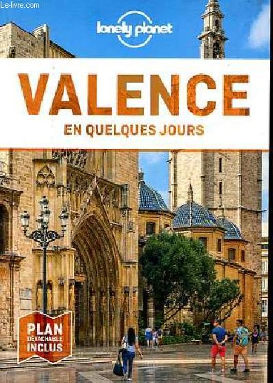
2021R100086427Lonely Planet. 2021. In-16. Broché. Bon état, Couv. convenable, Dos satisfaisant, Intérieur frais. 160 pages - un plan en couleur dépliant inclus - nombreuses photos et nombreux plans en couleurs dans et hors texte.. . . . Classification Dewey : 946-Espagne, Portugal
1977R240100087SYNDICAT D'INITIATIVE OFFICE DE TOURISME DE VALENCE. 1977. In-8. Broché. Bon état, Couv. convenable, Dos satisfaisant, Intérieur frais. 180 pages - nombreuses illustrations en noir et blanc dans et hors texte.. . . . Classification Dewey : 946-Espagne, Portugal
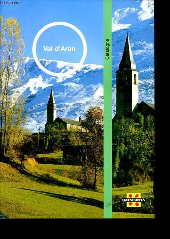
2003R200137902Generalitat de Catalunya. 2003. In-8. Broché. Etat d'usage, Couv. convenable, Coiffe en tête abîmée, Intérieur frais. 52 pages, nombreuses photos et cartes en couleur dans et hors texte.. . . . Classification Dewey : 946-Espagne, Portugal
1377344Lisboa: J. Rodrigues & C.ª, 1920 in-8, 304-(8) pages, illustrations hors texte. Demi reliure basane dos à nerfs orné de fers et fleurons dorés, couv. conservées, tranche supérieure rouge, bel exemplaire. Edition originale. ENVOI. Mercedes Blasco (1967-1961), pseudonyme de Conceição Vitória Marques, actrice populaire portugaise d'opérettes et de revues. Elle fut aussi écrivaine, professeure et journaliste ainsi qu'infirmière volontaire pendant la première guerre mondiale.
1956RO70123834EDITION DE LA FONTAINE. 1956. In-12. Broché. Etat d'usage, Couv. légèrement passée, Dos satisfaisant, Intérieur acceptable. 225 pages. Nombreuses illustrations en couleurs et en noir et blanc dans et hors texte.. . . . Classification Dewey : 946-Espagne, Portugal
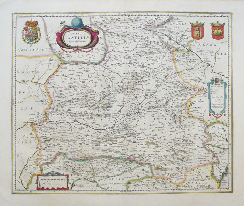
1638LBW-949Amsterdam 1638-1640 411 x 501 mm.
Bella carta della Castiglia, regione storica della Spagna centro-settentrionale, tratto dall'Atlas Novus di Blaeu.La mappa è riccamente decorata: l'elegante cartiglio col titolo è affiancato dallo stemma della Spagna mentre sulla sinistra figurano lo stemma della Castiglia e quello della corona spagnola.Incisione in rame, coloritura coeva, in ottimo stato di conservazione. Testo in tedesco al verso. Beautiful map of Castille including the cities of Cordova, Toledo, Madrid and Cartagena. Fully engraved with mountains and forests, it is richly decorated with a title cartouche, scale of miles, and three coats of arms. German text on verso.Etching on copperplate with original hand colour, in good conditions.
52123Paris Fondation Calouste Gulbenkian. Centre Culturel Portugais 1982 in 4 (27,5x19,5) 1 fort volume broché, couverture à rabats, 625 pages [1]. Actes du colloque Paris, 10-13 Janvier 1979. Bel exemplaire ( Photographies sur demande / We can send pictures of this book on simple request )
19722092902140304911Japan-Portugal Association 1972. Soft Cover. Fine. Number of books: 1 Japan-Portugal Association paperback
1995wa830Universidade Tecnica de Lisboa Dos carré collé 1995 In-4 (21 x 29,2 cm), dos carré collé, 261 pages, texte en portugais ; petit choc au quatrième plat, par ailleurs bel état. Livraison a domicile (La Poste) ou en Mondial Relay sur simple demande.
1963105609(Madrid 1963). 4to. Mit zahlreichen Abbildungen u. Abdruck von Dokumenten. 126 S. Or.-Kart.; angestaubt u. etw. stockfleckig. [3 Warenabbildungen]
9450aafAmsterdam, Meridian, 1966, gr. in-8°, XVI + 365 S. + 2 S., Original-Leinenband.
1964136838Auswahl, Nachwort u. Anmerkungen von Roland Links. 2. Aufl. Berlin, Volk u. Welt, 1964. 486 S., 1 Bl. Or.-Lwd. (Ausgewählte Werke).