[MOUNT LOWE]. Pacific Electric RailwayBiblio.com
[NANTES].Livre Rare Book
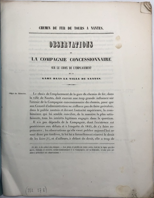
Chemin de fer de Tours à Nantes. Observations de la compagnie concessionnaire sur le choix de l'emplacement de la gare dans la ville de Nantes.
232278Paris, Imprimerie administrative de Paul Dupont, 1847 in-4, 19 pp., broché sous couverture bleue imprimée.
Librairie Historique Fabrice Teissèdre · Sauve, France70,00 €