DAVID-NEEL (Alexandra).Livre Rare Book

3 640 résultats
194730141Paris, Librairie Plon, (1947). Un vol. au format pt in-8 (204 x 147 mm) de iii - 279 pp., broché.
ORD-51695°édition. Gaume Frères et Duprey. 1868. 2 volumes in-8, dos chagrin noir, titre doré, 4 fx-nerfs, marque de l'Institution St Sauveur à Redon sur les 1°plats, XV, 425pp. et une grande carte dépliante couleurs (39x34cm) de la Chine pour le 1°tome et 524pp. pour le second. Des rousseurs, carte réparée sommairement, exemplaire très présentable.
21904Paris Librairie Plon, Plon-Nourrit et Cie, imprimeurs-éditeurs 1925 in 12 (19,5x12,5) 1 volume reliure à la bradel demi percaline verte à coins de l'époque, dos lisse, pièce de titre de cuir noir, portrait en frontispice, 301 pages [1], avec 1 carte hors-texte dépliante. Régis Evariste Huc, Caylus (Tarn-et-Garonne) 1813 - Paris 1860, religieux français de l'ordre des Lazaristes, missionnaire apostolique en Chine. Tome 1 seul: Tartarie. Bel exemplaire ( Photographies sur demande / We can send pictures of this book on simple request )
36592Paris Gaume et Cie, Editeurs 1878 in 12 (18x12) 2 volumes reliures demi basane rouge de l'époque, dos lisses ornés de filets dorés. Tome 1: XV et 430 pages. Tome 2: 524 pages, la carte dépliante manque. Régis Evariste Huc, Caylus (Tarn-et-Garonne) 1813 - Paris 1860, religieux français de l'ordre des Lazaristes, missionnaire apostolique en Chine. Sixième édition. Bon exemplaire ( Photographies sur demande / We can send pictures of this book on simple request )
EPB4JBTr¿s bel ensemble complet de ses quatre volumes. HUC (Evariste), áSouvenirs d'un voyage dans la Tartarie et le Thibetápendant le annes 1844, 1845 et 1846á, suivi de áL'Empire chinoisá, faisant suite á cet ouvrage. Nouvelle dition annote et illustre par J.-M. Planchet, Pkin, Imprimerie des Lazaristes, 1924 et 1926, 4 vol. in-8, demi-chagrin lie-de-vin á coins, souligns de filets dors, dos á 5 nerfs rehausss de filets dors, titre dor, t¬te dore, non rogn, couvertures de papier bleu et dos conservs, [4]-426-[2]
130047aafTournai : J. Casterman, 1850, gr. in-8vo, 418 p.+ 6 p. (catalogue de l’éditeur), texte à 2 col., titre avec vign. et cachets de Bibliothèques e.a. ‘Hospise du Simplon alt. 2000m.’ & ‘Bibliothèque Saint-Bernard Martigny’, reliure en d.-cuir d’époque.
192435211924 Pékin, Imprimerie des Lazaristes, 1924, volume grand in-8 relié demi percaline beige, 493 pages, grande carte dépliante in fine, portrait en frontispice et lettre autographe dépliante, nombreuses illustrations et photographies in et hors texte, bon état
1925X99332Paris, Plon 1925- Complet en 4 tomes, reliés en 2 volumes: xiii,301 + xiii,318 + xi,322 + 324pp., avec frontispice dans tomes 1-2 et une carte dépliante dans les tomes 1-2-3, Nouvelle édition publiée et préfacée par H. D'Ardenne de Tizac, 20cm., reliures cart. uniformes, bon état, X99332
23663P., Club des LIbraires de France, 1954, in 8° relié pleine toile décorée de l'éditeur (légèrement fanée), 411pp. ; illustrations ; des rousseurs.
M17605Couverture souple P , Gaumey Duprey , 1868 , in8 broché , XV - 430 pp . Langue: Français
199183379Peuples du Monde 1991 In-8 relié. Très bon état d’occasion.
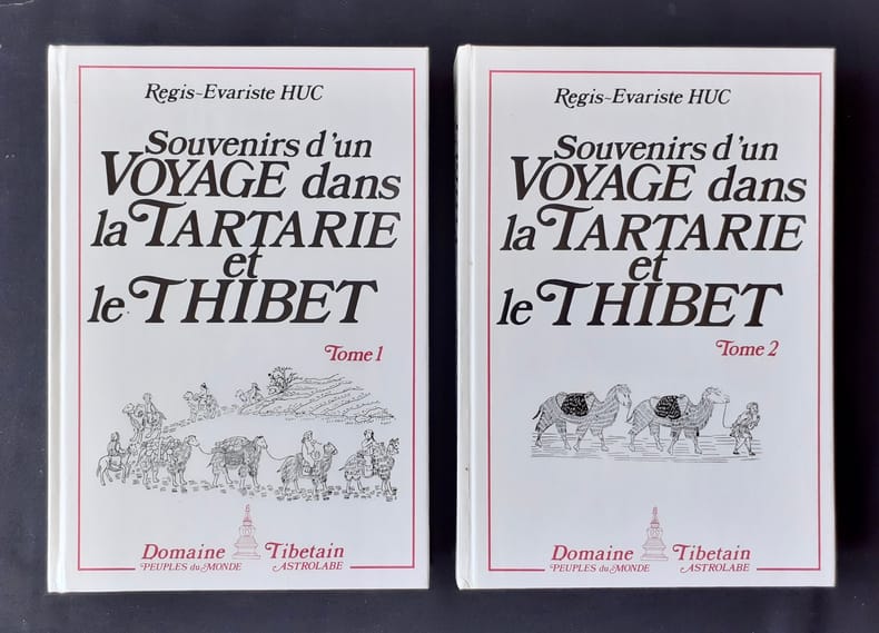
48338Paris: Astrolabe (Collection «Domaine tibétain»), 1987. 2 volumes 23,7x16,8cm cartonnés sous couvertures illustrées, 12-426-493 pages illustrées dans et hors texte. Bon état.
96268Paris, Le Club des Libraires de France, 1954. 14 x 20, 411 pp., 26 figures, quelques cartes, reliure d'édition pleine toile + rhodoïd, bon état (2 tranches piquées).
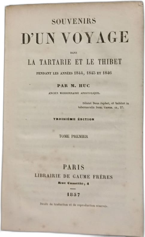
1857100151580Librairie de Gaume Frères 1857 in12. 1857. Relié. 2 volume(s). Récit de voyage du missionnaire Évariste Huc qui accompagné de Joseph Gabet a traversé la Tartarie et le Tibet entre 1844 et 1846. Ils ont atteint Lhassa avant d'en être expulsés par un mandarin chinois. L'ouvrage est un classique du genre mêlant observations ethnographiques et aventures
1857100152090Librairie de Gaume Frères 1857 in12. 1857. Cartonné. 2 volume(s). Évariste Huc missionnaire lazariste français relate son voyage en Tartarie et au Tibet dans les années 1840. Expulsé du Tibet avec son compagnon Gabet il décrit leur retour à Macao et fournit des informations détaillées sur les régions traversées
2006LFA-126741321Un ouvrage de 248 pages, format 160 x 240 mm, broché couverture couleurs, publié en 2006, Editions Pyrémonde, bon état
VOY810MLe Livre de Poche, 1962. In-12, broché, 511 pages. Épidermures sur pages de garde. Couverture gondolée. Intérieur agréable. Exemplaire de témoignage.
In-8°, pp. 218 con alcune mappe disegnate n.t. Bross. edit. illustrata.
L'Everest, il Tibet, il Budda in questo romanzo di Kroeger del 1948. Volume in brossura con sovraccoperta, con fioriture qua e là. Brossura
(Firenze, 1885) stralcio con copertina posticcia muta, pp. 23/30 con quattro tavole ripiegate. - !! ATTENZIONE !!: Con il termine estratto (o stralcio) intendiamo riferirci ad un fascicolo contenente un articolo di rivista, sia che esso sia stato stampato a parte utilizzando la stessa composizione sia che provenga direttamente da una rivista. Le pagine sono indicate come "da/a", ad esempio: 229/231 significa che il testo è composto da tre pagine. Quando la rivista di provenienza non viene indicata é perchè ci è sconosciuta. - !! ATTENTION !!: : NOT A BOOK : “estratto” or “stralcio” means simply a few pages, original nonetheless, printed in a magazine. Pages are indicated as in "from” “to", for example: 229/231 means the text comprises three pages (229, 230 and 231). If the magazine that contained the pages is not mentioned, it is because it is unknown to us.
201602316Paris, Albin Michel, 1997 ; grand in-12, 67 pp., br. Traduit de l'italien par Françoise Brun - très bon état - avec sa jaquette.
8vo., First Edition; cloth, a near fine copy in the dustwrapper.
Mostra di Torino, 14 ottobre - 14 novembre 1983. Centro Incontri della Cassa di Risparmio di Torino. Prevalentemente ill. con tavv. a col. f.t. e b.n. n.t.; Sc. T.
In-8°, pp. XXIX, 109,12 tavole a colori e numerose ill. in b.n., bross. edit. fig.
1904177840Simla: Intelligence Branch Topographical Division June 1904. The race for Lhasa A rare intelligence map produced during a spectacular move in the later stages of the "great game" showing Younghusband's route as far as the fortress at Gyantse. The map incorporates both existing information gathered by pundits and also the fruits of surveys undertaken by British cartographers during the advance. We have traced a single copy held by the British Library shelf number 57690.1. The Younghusband Expedition under a pretext of bringing the Tibetans to heel aimed at closing a Russian backdoor to the Raj. Departing in winter 1903 Younghusband and his force crossed the Tibetan border on 12 December and began the push to Lhasa. Reaching Guru in March 1904 British forces massacred Tibetan troops blocking their path the Massacre at Chumik Shenko and following a protracted effort to seize control of the fort at Gyantse in May and June they swept along the eastern road reaching Lhasa in early July. "Some fifteen years earlier as a young subaltern Francis Younghusband had dreamed of entering Lhasa alone disguised as a Yarkandi trader. Now in full diplomatic regalia and with a small armed escort he rode into the holy city. The Tibetans their morale broken offered no resistance" Hopkirk p. 183. In addition to its geopolitical goals the expedition was tasked with surveying the Tibetan interior. Captain Charles Ryder an experienced Survey of India cartographer joined the expedition as the mapping officer and information gathered by his team was fed back to Intelligence Branch in Simla and incorporated into field maps. This example dated June 1904 charts the expedition's course from its December 1903 departure point of Siliguri up to Gyantse where Younghusband was still bogged down and gives known elevations and the course of alternative routes into Tibet to be followed by troops advancing in Younghusband's wake. Along the route there are markings for the expedition's camps lines representing the journeys of detachments from the main expedition and a delineation of the makeshift telegraph line running up to Kang Ma. A pair of crossed swords and a date note the site of the Massacre of Chumik Shenko. The northern and north-east portions covering Lhasa and the territory to the west are sketched according to the valuable information gathered in the 19th century by pundits such as Nain Singh Rawat and Kishen Singh. Rawat the first non-European to win a gold medal of the Royal Geographical Society was also the first member of the Survey of India to reach Lhasa. His cousin Kishen Singh made four surveying expeditions of Tibet and Central Asia the fourth producing a detailed map of Lhasa and its environs. The map shows the course of the Tsangpo and Nyang Chu and some of the geographical features of Younghusband's planned route east to Lhasa including the pass at Karo-La and the large lake of Yamdok Tso both of which were explored in detail by Kishen Singh in 1880. The expedition and the more detailed surveys by Ryder and others that followed its success built on the achievements of the pundits giving Britain an unparalleled cartographic knowledge of the Tibetan interior. Heliozincograph printed on cloth 780 x 670 mm. Traces of couple of contemporary purple ink annotations. Clean and bright barring couple of minor stains old folds and creasing: very good. Peter Hopkirk Trespassers on the Roof of the World: The Race for Lhasa 1983. hardcover