235 résultats
1831E01322 volumes. xxi472 pages with three maps two folding and one double page figures and 13 plates; iv452 pages with 10 plates some folding tables and appendices. Octavo 9 1/2" x 5 1/2" Bound in contemporary half leather with marbled boards and gilt lettering to spine. Ferguson 1418; Hill I p. 19; Howes B309; Lada-Mocarski 95; Sabin 4347. Second edition published after quarto edition of the same year.<br /><br />Frederick William Beechey 17 February 1796 – 29 November 1856 was an English naval officer and geographer. He was the son of Sir William Beechey RA and was born in London. 1806 he entered the Royal Navy and saw active service during the wars with France and America. In 1818 he served under Lieutenant afterwards Sir John Franklin in David Buchan's Arctic expedition of which at a later period he published a narrative. In the following year he accompanied Lieutenant W. E. Parry in HMS Hecla. In 1821 he took part in the survey of the Mediterranean coast of Africa under the direction of Captain afterwards Admiral William Henry Smyth. He and his brother Henry William Beechey made an overland survey of this coast and published a full account of their work in 1828 under the title of Proceedings of the Expedition to Explore the Northern Coast of Africa from Tripoly Eastward in 1821-1822. In 1825 Beechey was appointed to command the HMS Blossom. His task was to explore the Bering Strait in concert with Franklin and Parry operating from the east. In the summer of 1826 he passed the strait and a barge from his ship reached 71°23'31" N. and 156°21'30" W. near Point Barrow which he named a point only 146 miles west of that reached by Franklin's expedition from the Mackenzie river. The whole voyage lasted more than three years and in the course of it Beechey discovered several islands in the Pacific and an excellent harbor near Cape Prince of Wales. In July 1826 he named the three islands in the Bering Strait. Two were the Diomede Islands that Vitus Bering had named in 1728: "Ratmanoff Island" Big Diomede and "Krusenstern Island" Little Diomede. Beechey called the uninhabited third islet "Fairway Rock" which is still its contemporary name. One of his crew Petty Officer John Bechervaise gave a detailed account of the voyage in his Thirty Six Years if a Seafaring Life by an Old Quartermaster published privately in 1839. In 1831 there appeared his Narrative of a Voyage to the Pacific and Beering's Strait to Co-operate with the Polar Expeditions 1825-1828. In 1835 and the following year Captain Beechey was employed on the coast survey of South America and from 1837 to 1847 carried on the same work along the Irish coasts. He was appointed in 1850 to preside over the Marine Department of the Board of Trade. In 1854 he was made rear-admiral and in the following year was elected president of the Royal Geographical Society. Beechey Island where Sir John Franklin wintered is named after him.<br /><br />Condition:<br /><br />Name neatly excised from head corner of titles small inconspicuous stamp to last pages. Inner hinges beginning marble to boards rubbed some stains to map. some toning to some plates some plates not bound in order to the printer but are all accounted for corners gently bumped else about a very good set. Henry Colburn and Richard Bentley hardcover books
1843E01482 volumes. xxxvii23878 ad pages with frontispiece woodcuts in text and 7 steel-engraved plates; vi2474 pages with frontispiece woodcuts in texts and 10 steel-engraved plates. Royal octavo 9¼x5½" in publisher's original green cloth spine lettered in gilt covers decorative blind stamped. First Edition.<br /><br />In 1825 Edward Belcher accompanied Frederick William Beechey's expedition to the Pacific and Bering Strait as a surveyor. In 1836. he commanded a surveying ship on the north and west coasts of Africa and in the British seas. Belcher took up the work which Beechey had left unfinished on the Pacific coast of South America. He was on board the bomb vessel HMS Sulphur which was ordered to return to England in 1839 by the Trans-Pacific route. Belcher made various observations at a number of islands which he visited having been delayed by being dispatched to take part in the war in China in 1840. On 26 January 1841 the then Commander Belcher landed on Possession Point at the north shore Hong Kong Island and made the first British survey of Hong Kong harbor. After the war's end in 1842 he reached home and for his services was made a Knight Bachelor in the following year. He was then engaged in HMS Samarang in surveying work in the East Indies the Philippines Geomun-do Port Hamilton and other places until 1847. In 1852 Belcher led the last and largest Admiralty expedition to rescue Sir John Franklin. He was also to look for his former surveying officer in Hong Kong Richard Collinson and Robert McClure whose ships had not been seen after entering the Bering Strait. He did a great deal of sledge exploration rescued McClure and abandoned four of his five ships in the ice. He had five ships: Assistance Belcher Resolute Henry Kellett second mate George Nares the steam tenders PioneerSherard Osborn and Intrepid Leopold McClintock and the depot ship North Star William Pullen. Belcher and one tender were to enter Wellington Channel where Franklin was thought to be while Kellett was to go west to Melville Island and look for Collinson and McClure. North Star was to stay at Beechey Island as a supply base. He left the Nore in April 1850. By early winter Assistanceand Pioneer were frozen in at Northumberland Sound to the north of Wellington Channel while Resolute and Intrepid were frozen in off Melville Island Arctic—the first ships this far west since William Edward Parry in 1819. A great deal of exploration was done by man-hauled sledges. In April 1853 Leopold McClintock and others left the Resolute on sledges and returned 105 days later having covered 1400 miles and discovered Prince Patrick Island. Another party went west and discovered Robert McClure whose ship was frozen in at Mercy Bay. Belcher went north by sledge and found a channel at the northern tip of Devon Island hinting that Franklin might have used it to escape to Baffin Bay. When the ice broke up that summer he pushed his ships up Wellington Channel and became trapped again. By February 1854 Belcher was becoming increasingly worried about the safety of his ships and men. In April he ordered Kellett to abandon his ships and return by sledge to North Star. Belcher abandoned his two ships in late July. Aided by two ships that showed up at Beechey Island Phoenix and Breadalbane the whole party returned to England. Belcher went through a court martial which was automatic for any captain who had lost a ship. He was exonerated but his sword was returned to him 'without observation'. He never again received an active command. Curiously Resolute broke free of the ice and drifted all the way to Davis Strait where it was picked up by an American whaler.<br /><br />Condition:<br /><br />Some staining and wear to covers spines a bit faded ends chipped and worn rear joint of Vol. I with chipping and loss; hinges repaired at endpapers some light foxing and occasional mostly marginal damp staining within the three folding maps which should be loose in a pocket not present; overall good uncommon in the original cloth. Henry Colburn hardcover books
1855E0558xx383 pages with hand colored frontispiece 3 maps in pockets plates many colored; vii41923 ad pages with color frontispiece and plates some colored. Small quarto 10 1/2" x 6 3/4" bound in original publisher's pictorial brown cloth with blind-stamped cover with gilt pictorial in gilt. Notes on the Natural History by John Richardson. Abbey Travel 645; Arctic Bibliography 1241; Books on Ice 5.8a; Hill 106; Sabin 4389; TPL 3409 First edition.<br /><br />Belcher's five-ship 1852-54 expedition in search of Franklin would be the last official British attempt. On the HMS Assistance Belcher successfully navigated through the Wellington Channel but beset by ice was unable to return to Lancaster Sound and was forced to abandon the ship. This account of the expedition also includes several essays on the natural history of the region by Richardson Owen Bell Salter and Reeve.<br /><br /><b>Condition:</b><br /><br />Minor wear re-backed with parts of original back-strips laid down; minor foxing short separations at folds to the largest map; inked stamps on title pages Edinger bookplates else a good set internally very good. Lovell Reeve hardcover books
1843E01482 volumes. xxxvii23878 ad pages with frontispiece woodcuts in text and 7 steel-engraved plates; vi2474 pages with frontispiece woodcuts in texts and 10 steel-engraved plates. Royal octavo 9¼x5½" in publisher's original green cloth spine lettered in gilt covers decorative blind stamped. First Edition.<br /><br />In 1825 Edward Belcher accompanied Frederick William Beechey's expedition to the Pacific and Bering Strait as a surveyor. In 1836. he commanded a surveying ship on the north and west coasts of Africa and in the British seas. Belcher took up the work which Beechey had left unfinished on the Pacific coast of South America. He was on board the bomb vessel HMS Sulphur which was ordered to return to England in 1839 by the Trans-Pacific route. Belcher made various observations at a number of islands which he visited having been delayed by being dispatched to take part in the war in China in 1840. On 26 January 1841 the then Commander Belcher landed on Possession Point at the north shore Hong Kong Island and made the first British survey of Hong Kong harbor. After the war's end in 1842 he reached home and for his services was made a Knight Bachelor in the following year. He was then engaged in HMS Samarang in surveying work in the East Indies the Philippines Geomun-do Port Hamilton and other places until 1847. In 1852 Belcher led the last and largest Admiralty expedition to rescue Sir John Franklin. He was also to look for his former surveying officer in Hong Kong Richard Collinson and Robert McClure whose ships had not been seen after entering the Bering Strait. He did a great deal of sledge exploration rescued McClure and abandoned four of his five ships in the ice. He had five ships: Assistance Belcher Resolute Henry Kellett second mate George Nares the steam tenders PioneerSherard Osborn and Intrepid Leopold McClintock and the depot ship North Star William Pullen. Belcher and one tender were to enter Wellington Channel where Franklin was thought to be while Kellett was to go west to Melville Island and look for Collinson and McClure. North Star was to stay at Beechey Island as a supply base. He left the Nore in April 1850. By early winter Assistanceand Pioneer were frozen in at Northumberland Sound to the north of Wellington Channel while Resolute and Intrepid were frozen in off Melville Island Arctic—the first ships this far west since William Edward Parry in 1819. A great deal of exploration was done by man-hauled sledges. In April 1853 Leopold McClintock and others left the Resolute on sledges and returned 105 days later having covered 1400 miles and discovered Prince Patrick Island. Another party went west and discovered Robert McClure whose ship was frozen in at Mercy Bay. Belcher went north by sledge and found a channel at the northern tip of Devon Island hinting that Franklin might have used it to escape to Baffin Bay. When the ice broke up that summer he pushed his ships up Wellington Channel and became trapped again. By February 1854 Belcher was becoming increasingly worried about the safety of his ships and men. In April he ordered Kellett to abandon his ships and return by sledge to North Star. Belcher abandoned his two ships in late July. Aided by two ships that showed up at Beechey Island Phoenix and Breadalbane the whole party returned to England. Belcher went through a court martial which was automatic for any captain who had lost a ship. He was exonerated but his sword was returned to him 'without observation'. He never again received an active command. Curiously Resolute broke free of the ice and drifted all the way to Davis Strait where it was picked up by an American whaler.<br /><br />Condition:<br /><br />Some staining and wear to covers spines a bit faded ends chipped and worn rear joint of Vol. I with chipping and loss; hinges repaired at endpapers some light foxing and occasional mostly marginal damp staining within the three folding maps which should be loose in a pocket not present; overall good uncommon in the original cloth. Henry Colburn hardcover
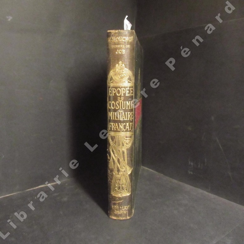
18981108941898 A Paris, Société Française d'Editions d'Art - 1898 - Grand In-4, cartonnage peau noir orné de décors à chaud (doré et rouge) et à froid, sur le premier plat et le dos - 299 p. - Gravures en noir et en couleurs de M. Raymond et de MM. Ducourtioux et Huillard - Aquarelles et dessins originaux de Job
18801309New York: Henry Holt and Company. 1880. Hardcover. Very Good. Some fraying to top and bottom spine. Front hinge weakening. Some fraying to rear map margin not effecting printed area. Previous owner's name to front pastedown; Rare. Numerous b&w illustrations and two maps; 8vo; 448 pages . Henry Holt and Company hardcover
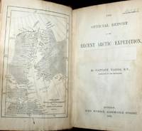
1875WRCAM50727London 1875. 349-356pp. Modern blue wrappers printed paper label. Fine. The report extracted from a larger volume was compiled by George Richards Francis M'Clintock and Sherard Osborn to provide guidance to the impending proposed British expedition to the North Pole to be led by Sir George Strong Nares. In late May of the same year Nares would command two ships north around Greenland failing to reach the North Pole but becoming the first explorer to successfully pilot ships through the channel between Greenland and Ellesmere Islands; the channel was later named for him. In this report Richards M'Clintock and Osborn recommend two ships the Alert and the Bloodhound for Nares though the Bloodhound would be renamed the Discovery before the expedition began. The scope of the expedition is defined: "to attain the highest northern latitude and if possible to reach the North Pole." Also includes information on the route of the expedition the orders to be given various kinds of stores and provisions to be taken whether or not dogs should be used and much more. No listing in OCLC. unknown books
1829005638London: Henry Colburn 1829. 478pp/maps. Engraved folding map frontis of Arabia. BM- notes two editions of this work in 1829; single volume quarto and a two volume octavo. This is the rare single volume edition. John Lewis Burckhardt 1784 - 1817 the son of a Swiss Colonel undertook the journey to Mekkah in 1814 disguised as an Arab; he had long since used the name Sheikh Ibrahim in his travels which he began in 1809 under the sponsorship of Sir Joseph Banks and the African Association. Burckhardt's description of the Hedjaz was the first accurate one to reach Europe. Burckhardt transmitted to the Association the most accurate and complete account of the Hedjaz including the cities of Mekka and Medina which has ever been received in Europe." The folding plans include Mekkah Medina Wady Muna and Arafat. Some light foxing to maps. Minimal library markings. Beautiful tight complete scarce book with great maps. First Edition. Library Binding. Very Good/No Jacket Issued. 4to - over 9¾" - 12" tall. Ex-Library. Henry Colburn
186210232Paris Hachette 1862 Un volume in-8 demi chagrin vert, dos à nerfs, caissons décorés, titre doré, tranches dorées, 719 pages, illustrations in-texte, complet de ses deux cartes. Légères rousseurs, bel exemplaire.
187661115030126John Murray London 1876. First Edition. Hardcover. Good Condition/No Dust Jacket. Report to the Admiralty of the expedition that left Upernivick on 22 July 1875 and returning in October 1876. This is an ex-library copy with flaws as described. Black half-leather binding with banded spine and dark blue covers are lightly rubbed at edges binding is sound with strengthened inner hinges. Crossed and stamped large library label is pasted to the inside of the front cover additional end-papers darkened no half-title-page frontis map has been pasted to previous end-paper with resultant wrinkles on both surfaces and a stamp of "Free Public Library Westminster S.W." on the obverse of the frontis shows through the pasted end-paper although not visible from the map. Title-page is darkened has a crossed out reference number in the upper leading corner and a psted paper rectangle covering a "Free Public Library Westminster S.W." stamp small feint stamp on reverse and short closed tear approx 1cm on leading edge. Pages are little darkened with some smudge marks mainly in margins page 84 to 91have a very small ink mark on the lower corner "Free Public Library Westminster S.W." stamp acorss the bottom of the final page. Quantity Available: 1. Shipped Weight: under 1 kg. Pictures of this item not already displayed here available upon request. Inventory No: 61115030126. All our books music and maps are sent by a tracked mail service. John Murray hardcover
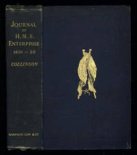
1889035576London: Sampson Low Marston Searle & Rivington. 1889. 1st Edition 1st Printing. Hardcover. Good/No Jacket. 8vo - over 7¾ - 9¾" tall. Good. Publishers cloth embossed with gilt lettering and emblem to upper cover. Front hinge cracked. Gift inscription in contemporaneous hand to free front endpaper. A touch of foxing. Two of the maps have a dog-eared fore-edge where they have not been folded quite flush with the page edges. Illustrated with tissue-guarded colour frontispiece of the ship tissue-guarded portrait of the author and 6 fold-out maps. xi i 531pp 32pp of publishers ads to rear. FIRST EDITION of the posthumously published journal by the captain who came closest to the site where Franklin's expedition ended. "In 1849 Collinson was appointed to command an expedition for the relief of Sir John Franklin by way of the Bering Strait; he himself had command of the Enterprise and with him was Commander Robert Le Mesurier McClure in the Investigator. The two ships sailed together from Plymouth on 20 January 1850 but unfortunately separated in the neighbourhood of Cape Horn and did not meet again. The Enterprise passed Point Barrow Alaska on 21 August but the ice forced Collinson to return south and winter in Hong Kong. In 1851 he was again hampered by ice and in 1852 was frozen in at Cambridge Bay for the winter. In 1853 the Enterprise was caught in the ice at Camden Bay and there passed a third winter. She reached Point Barrow on 8 August 1854 after being shut up in the Arctic entirely on her own resources for upwards of three years. Of the many who had searched for Franklin Collinson came closest to the place where the expedition had ended. Collinson's addition to geographical knowledge on this Arctic trip was very considerable and would have been tantamount to the discovery of the north-west passage had this not been already actually achieved by the men of the Investigator" DNB. Arctic Bibliography 3351; Hill 337; Ricks p 68; Tourville 986. <br/> <br/> Sampson Low, Marston, Searle, & Rivington. hardcover
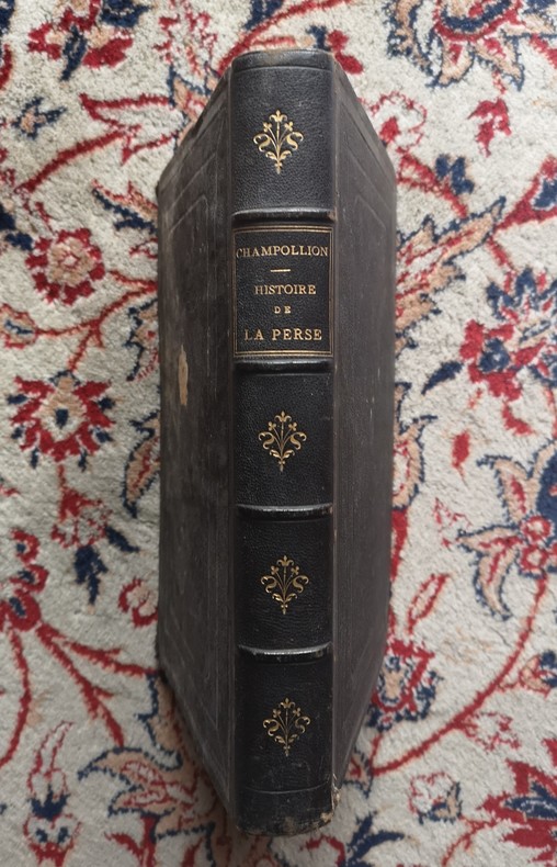
1860P2-2A-6Paris, Arbaud de Vresse, 1860. In-4°, plein chagrin noir éditeur, dos à 4 nerfs, titre doré, 446pp., illustré de 5 planches couleurs, tranches dorées, coins usés, rousseurs. 446 pgs and five lithographies enhanced with colour. Original red cloth dinding with spine richly gilt in fine condition. Internally some very light spotting in text. The lithographies in good condition. Edges gilt. A very attractive copy of this book written by the brother of the discoverer of hieroglyphs.
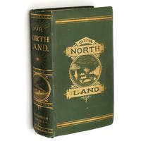
1885014624Toronto: C. Blackett Robinson 1885. 1st Edition. Hardcover. Very Good. First Edition. Beveled boards in original green cloth pictorially stamped in gilt still bright on spine and front cover. Spine rounded. Foot of spine shows light fraying; corner tips pushed and have a little exposure. Inner hinges cracked but holding firm. Half-title leaf is worn and lightly chipped along fore-edge. Two fold-out maps each showing some tears tape and tissue repairs on backside. More than sixty in-text illustrations. pp. xvi 17- 589. Explorations and description of Canada extending to the Arctic Circle primarily told through the experiences of the Canadian Government Expedition to Hudson's Bay and Strait; Otto Klotz's overland Expedition to Hudson's Bay; Dr. Robert Bell's Hudson's Bay Explorations; the Travels and Explorations in the North-West of Dr. Alfred R. C. Selwyn Marcus Smith and many others; and of the Travels and Explorations of the author Charles R. Tuttle particularly the 1884 Expedition of Lieutenant Andrew Robinson Gordon. Includes descriptions of the native peoples encountered wildlife climate and geography. C. Blackett Robinson hardcover
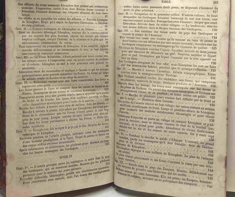
1878100093070Lecoffre Fils et Cie 1878 in12. 1878. Relié. texte en grec notes et notice en français
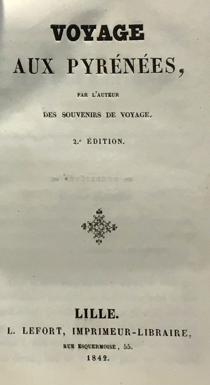
1842100045939Lefort 1842 in12. 1842. Cartonné.
18581441Alger et Paris, Imprimerie du Gouvernement, Librairie Algérienne de Dubois Frères, Challamel, 1858. In-8 - 17x24,5cm. Broché (une chemise légèrement cartonnée postérieure protège l'ouvrage). 63pp, 1 carte dépliante in fine. Edition originale.Complet de sa carte dépliante de l'itinéraire suivi par M. le Capitaine L. de Colomb, dans sa tournée d'exploration du sud, levée et dessinée par M. de La Ferronnay, officier stagiaire du Bureau Arabe de Geryville. Très rare.
1857100096635Bruxelles & Leipzig 1857 in16. 1857. Relié.
183619113Philadelphia: Carey Lea & Blanchard 1836. Volume II only. Purple cloth heavily sunned along spine and outer margins. Paper label intact on spine though somewhat scuffed. Corners bumped and rubbed. No ownership or any other markings. Scattered foxing throughout. Sound binding. 239pp. The author's 1828 travelogue of Switzerland. First Edition. Hardcover. Good/No Dust Jacket. 8vo - 8" - 9" Tall. Carey, Lea & Blanchard Hardcover
18783926DBStuttgart, E. Schweizerbart'sche Verlagshandlung (E. Koch), 1878. Groß-8°. 23 cm. X, 497, X, 540 Seiten. Halbleinenbände mit goldgeprägtem Rückentitel. (= Ch. Darwin's gesammelte Werke. Autorisirte deutsche Ausgabe. Band 3 und 4).
18773932DBStuttgart, E. Schweizerbart'sche Verlagshandlung (E. Koch), 1877. Groß-8°. 23 cm. VIII, 459 Seiten. Einfacher Halbleinenband der Zeit mit goldgeprägtem Rückentitel. (= Ch. Darwin's gesammelte Werke. Autorisirte deutsche Ausgabe. Band 10).
18763933DBStuttgart, E. Schweizerbart'sche Verlagshandlung (E. Koch), 1876 und 1877. Groß-8°. 23 cm. XIV, 231, VIII, 176 Seiten. Neuerer Halbleinenband mit goldgeprägtem Rückentitel. (= Ch. Darwin's gesammelte Werke. Autorisirte deutsche Ausgabe. Band 11. Erste und zweite Hälfte).
189912678London: Chatto & Windus 1899. Book. Very Good. Hardcover. New Edition. Very good with wear to extremities foxing to prelims and prize award bookplt. Large colour folding map and 33 illustrations. Chatto & Windus Hardcover
18472142Couverture rigide P.-C. Lehuby 1847 Paris 22x13,5 cm
189531933København 1895-96. Alle 3 bind i originale bogtrykte omslag ubeskårede og uopskårede. Omslagene lettere falmede og med et par smårifter ellers aldeles frisk eksemplar. 8374;8513;8272 pp. talrige tekstillustrationer 40 plancher heriblandt farvelitograferede plancher kort m.v. <br/><br/><em>First edition of one of the first scientific expedition to Greenland lead by The Greenlandic Commission. It contains the first scientific survey of the huge areas around Scoresby Sound. Meddelelser om Grønland Bind 17-19. </em> unknown
1853580Limoges Barbou frères s.d. (1853-1854 d'après Barbier) In-12 - 11x18cm. Reliure d'époque en pleine percaline noire, dos richement orné, plats ornés d'une plaque dorée et d'un encadrement de doubles filets à froid. 168pp.