CollectifLivre Rare Book
1 955 résultats
1996100051089Atlas 1996 255 pages in4. 1996. Cartonné. 255 pages. abondante iconographie
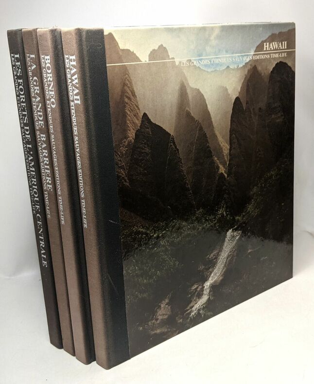
100090561Time-Life in4. Sans date. Broché. iconographie de faune et flore paysage en couleurs et en noir et blanc
1989202106Escudo de oro 1989 95 pages in4. 1989. Broché. 95 pages.
1968200759Tallandier 1968 4736 pages in4. 1968. Cartonné. 4736 pages.
12815QUE SAIS- JE ? PUF éditeur 34 volumes in 12 brochés. 1941 – 1956. 125 pages en moyenne, illustrations, cartes et plans pour certains volumes. L’ensemble en état correct. n° 2 1942)- 4 -9 -16 -35- 53- 59 -61- 62- 70- 73- 80- 89- 93- 105- 116- 140- 208- 233 – 255- 26-7 268- 273- 319 -368- 377- 381- 416- 453 494- 540 -569- 717 – 721- (1956)
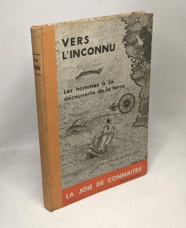
1950100082196Bourrelier 1950 in12. 1950. Cartonné. illustrations en noir et blanc
1950100120733Bourrelier 1950 in8. 1950. Cartonné.
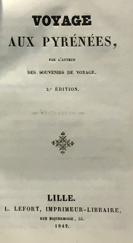
1842100045939Lefort 1842 in12. 1842. Cartonné.
2004100116413Pimientos 2004 380 pages 14 6x2 2x21 8cm. 2004. Broché. 380 pages.
1333888686.Gpaperback. Good. Access codes and supplements are not guaranteed with used items. May be an ex-library book. paperback
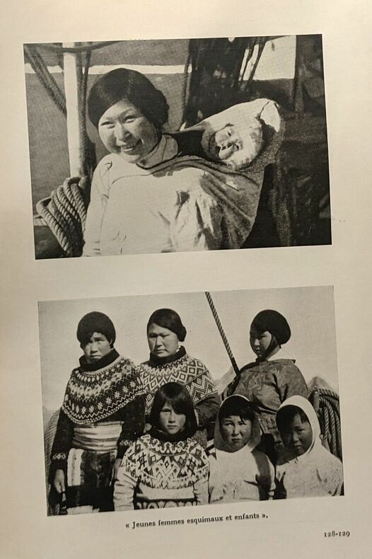
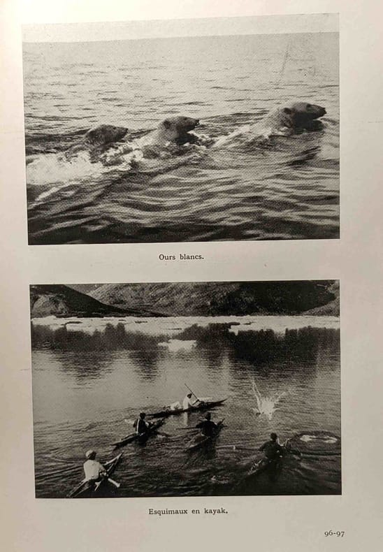
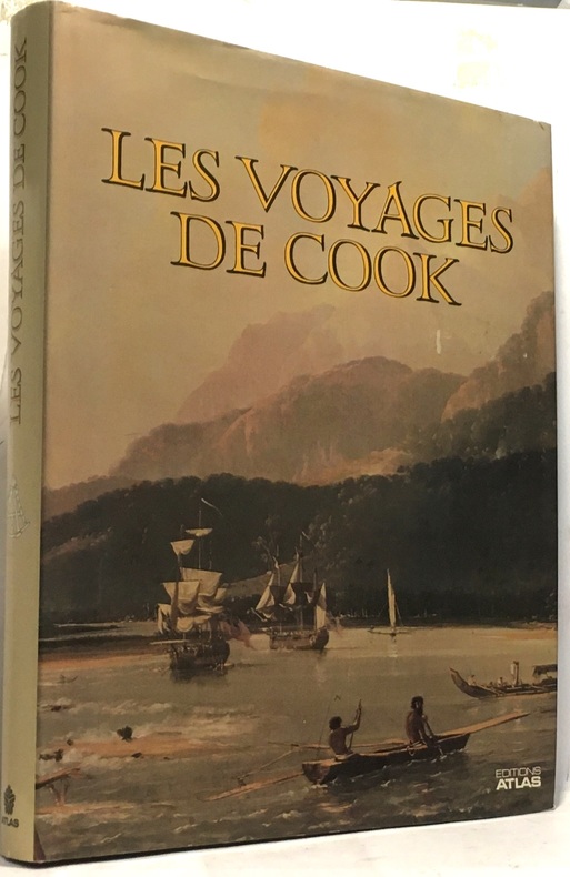
PARIS, France-Loisirs - 1991 - In-4 - Cartonnage éditeur sous jaquette illustrée en couleurs - Préface de Paul-Emile Victor - Nombreuses illustrations en couleurs dans le texte et HT - Cartes, index, bibliographie - 279 pages - Très bel exemplaire, comme neuf
100087372L'oeuvre Saint-Charles in8. Sans date. Broché. iconographie en noir et blanc
1937100094016Oeuvres Saint-Charles / Bruges 1937 in8. 1937. Broché. iconographie en noir et blanc
1938100096423Librairie de l'oeuvre Saint Charles 1938 in8. 1938. Broché. iconographie en noir et blanc
101740Paris, Pierre Lafitte & Cie. 1911, 280x200mm, frontispice, V - 371pages, reliure demi-chagrin avec titre et auteur dorés au dos. Plats papier marbré. Cachet de bibliothèque sur la page de titre, autrement bon état. Intérieur propre.
1923100090186Bernard Grasset 1923 in12. 1923. Relié.
1979KOS02900018Kodansha 1979. Soft Cover. Fine. KOS02900018 Kodansha paperback
1857100096635Bruxelles & Leipzig 1857 in16. 1857. Relié.
200766483[München] : Malik 2007. 281 S. : 83 Illustrationen. ; 20 cm, mit Schutzumschlag Top Zustand, Pp., gebundene Ausgabe, Hardcover/Pappeinband, Exemplar in sehr gutem Erhaltungszustand
1955100073214Club des libraires de france 1955 in8. 1955. Cartonné.
1790E00534 of 6 volumes. Volume 1: i-ix-372 pages with 23 plates including frontispiece plate of Cook and 4 folding maps; Volume II lacking; Volume 3: 793-1184 pages with 11 plates including frontispiece of Possession Bay and 5 fold out maps; Volume IV: 1185-1546 pages with 26 plates including frontispiece of Woman Child and Man of Van Diemen's Land and 6 folding maps; Volume V: 1547-1938 pages with 30 plates including frontispiece of A View of Huaheine and 8 folding maps; Volume VI lacking. Octavo 8 1/2" x 5 1/2" bound in original full leather with red labels to spine with gilt lettering. Abridged by George William Anderson. An earlier Large folio edition by Anderson was published earlier. This edition originally issued in 80 weekly parts and also called the Large octavo edition. M K Beddie: 39 First edition of the bound edition.<br /><br />Captain James Cook RN was a British explorer navigator and cartographer ultimately rising to the rank of Captain in the Royal Navy. Cook made detailed maps of Newfoundland prior to making three voyages to the Pacific Ocean during which he achieved the first European contact with the eastern coastline of Australia and the Hawaiian Islands as well as the first recorded circumnavigation of New Zealand. Cook joined the British merchant navy as a teenager and joined the Royal Navy in 1755. He saw action in the Seven Years' War and subsequently surveyed and mapped much of the entrance to the Saint Lawrence River during the siege of Quebec. This helped bring Cook to the attention of the Admiralty and Royal Society. This notice came at a crucial moment both in his personal career and in the direction of British overseas exploration and led to his commission in 1766 as commander of HM Bark Endeavour for the first of three Pacific voyages. Cook charted many areas and recorded several islands and coastlines on European maps for the first time. His achievements can be attributed to a combination of seamanship superior surveying and cartographic skills courage in exploring dangerous locations to confirm the facts for example dipping into the Antarctic Circle repeatedly and exploring around the Great Barrier Reef an ability to lead men in adverse conditions and boldness both with regard to the extent of his explorations and his willingness to exceed the instructions given to him by the Admiralty. Cook was killed in Hawaii in a fight with Hawaiians during his third exploratory voyage in the Pacific in 1779.<br /><br />Condition:<br /><br />Lacks volume II and VI. First signature of volume one loose inner hinges cracked some interior soiling spine ends and corners of leather rubbed some scuffing to leather else a good set. Printed for A Millar, W Law, and R Cater hardcover books
1955E01069 volumes including the three atlas volumes and portfolio volume. Volume I: <i>The Voyage of the Endeavour</i> cclxxxiv696 pages with 20 maps 25 illustrations including color frontispiece appendix and index. Reprinted with addenda and corrigenda. Volume II: <i>The Voyage of the Resolution and Adventure 1772-1775 </i>clxx1028 pages with 19 maps 63 illustrations appendixes and index. Half-title gives II as number within the set. Reprinted with addenda and corrigenda. Volume III parts 1 and 2: <i>The Voyage of the Resolution and Discovery 1776-1780</i> Part One ccxxiv718 pages with 17 maps and 64 illustrations. Half-title gives III as number within set. Admiralty instructions and the journal of the Third Voyage with supplementary extracts from journals or logs by James King Charles Clerke James Burney Richard Gilbert Thomas Edgar. Part 2: viii723-1647 with 2 maps 10 illustrations appendixes and index. Volume IV: <i>The Life of Captain James Cook</i> xi760 pages with 11 maps 38 illustrations bibliography and index. Written by J. C. Beaglehole. First separately published by A. and C. Black 1974 then for the Hakluyt Society. These volumes in royal octavo 9 1/2 x 6 1/2" bound in original publisher's deep blue cloth with blind stamped silhouette of Cook in gilt on front boards and gilt lettering to spines. Portfolio <i>Charts & Views</i> Drawn by Cook and his Officers and reproduced from the Original Manuscripts edited by R. A. Skelton. Pages viii with 58 loose maps charts plans profiles views and other illustrations some folding folio 15 3/4" x 10 1/2" in original blue cloth portfolio with gilt pictorial of cook on front in original jackets except for portfolio volume. <i>The Charts & Coastal Views</i>. Volume One: <i>The Voyage of the </i>Endeavour<i> 1768-1771</i> With a Descriptive Catalog of all the known original surveys and coastal views and the original engravings associated with them. Together with original drawings of the <i>Endeavour</i> and her boats lxiv328 pages with color frontispiece 480 half-tone plates and index. Volume Two: <i>The Voyage of the </i>Resolution<i> and </i>Adventure<i> 1772-1775</i> c332 pages with color frontispiece 23 color plates 320 half-tone plates and appendixes. Volume three: <i>The Voyage of the</i> Resolution<i> and </i>Discovery<i> 1776-1780</i> . together with the running journal of James King 1779-80 cxxxvi319 pages with color frontispiece 22 color plates 298 half-tone plates and appendixes. Volumes chief editor Andrew David. Assistant Editors for the Views Rudiger Joppien and Bernard Smith. Folios 17 1/4" x 11" bound in original publisher's deep blue cloth with gilt lettering to spine and pictorial representation of the ship <i>Victoria</i> embossed in gilt on front covers. Hakluyt Society Extra Series 34a 34b 35 36a 36b 37 43 44 and 46. First printings. Condition: Lacks jacket for portfolio volume and the spine head is bumped. Jackets: Volume one volume three part two price clipped some jackets spines toned Charts & Coastal Views with some edge wear and closed tears else a near fine set in like jackets. Hakluyt Society hardcover books
19033013FBKempten, Kösel Verlag, 1903. Groß-8°. 23 x 15,5 cm. XXIV, 419 Seiten. Frontispiz und zahlreiche Tafeln. Roter Original-Leinenband mit montierter Deckelabbildung, weiß- und goldgeprägten Titeln und Buchschmuck, marmoriertem Schnitt und illustrierten Vorsätzen. [2 Warenabbildungen]
1790E00534 of 6 volumes. Volume 1: i-ix-372 pages with 23 plates including frontispiece plate of Cook and 4 folding maps; Volume II lacking; Volume III: 793-1184 pages with 11 plates including frontispiece of Possession Bay and 5 fold out maps; Volume IV: 1185-1546 pages with 26 plates including frontispiece of Woman Child and Man of Van Diemen's Land and 6 folding maps; Volume V: 1547-1938 pages with 30 plates including frontispiece of A View of Huaheine and 8 folding maps; Volume VI lacking. Octavo 8 1/2" x 5 1/2" bound in original full leather with red labels to spine with gilt lettering. Abridged by George William Anderson. An earlier Large folio edition by Anderson was published earlier. This edition originally issued in 80 weekly parts and also called the Large octavo edition. M K Beddie: 39 First edition of the bound edition.<br /><br />Captain James Cook RN was a British explorer navigator and cartographer ultimately rising to the rank of Captain in the Royal Navy. Cook made detailed maps of Newfoundland prior to making three voyages to the Pacific Ocean during which he achieved the first European contact with the eastern coastline of Australia and the Hawaiian Islands as well as the first recorded circumnavigation of New Zealand. Cook joined the British merchant navy as a teenager and joined the Royal Navy in 1755. He saw action in the Seven Years' War and subsequently surveyed and mapped much of the entrance to the Saint Lawrence River during the siege of Quebec. This helped bring Cook to the attention of the Admiralty and Royal Society. This notice came at a crucial moment both in his personal career and in the direction of British overseas exploration and led to his commission in 1766 as commander of HM Bark Endeavour for the first of three Pacific voyages. Cook charted many areas and recorded several islands and coastlines on European maps for the first time. His achievements can be attributed to a combination of seamanship superior surveying and cartographic skills courage in exploring dangerous locations to confirm the facts for example dipping into the Antarctic Circle repeatedly and exploring around the Great Barrier Reef an ability to lead men in adverse conditions and boldness both with regard to the extent of his explorations and his willingness to exceed the instructions given to him by the Admiralty. Cook was killed in Hawaii in a fight with Hawaiians during his third exploratory voyage in the Pacific in 1779.<br /><br />Condition:<br /><br />Lacks volume II and VI. First signature of volume one loose inner hinges cracked some interior soiling spine ends and corners of leather rubbed some scuffing to leather else a good set. Printed for A Millar, W Law, and R Cater hardcover
183619113Philadelphia: Carey Lea & Blanchard 1836. Volume II only. Purple cloth heavily sunned along spine and outer margins. Paper label intact on spine though somewhat scuffed. Corners bumped and rubbed. No ownership or any other markings. Scattered foxing throughout. Sound binding. 239pp. The author's 1828 travelogue of Switzerland. First Edition. Hardcover. Good/No Dust Jacket. 8vo - 8" - 9" Tall. Carey, Lea & Blanchard Hardcover