52 résultats
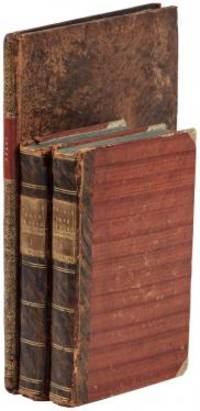
1802E01512 volumes with Atlas. 4xxiv385 pages with xxii-xxiv lists books of voyages available from the publisher; 4418 pages with appendix containing vocabularies of the languages of Yukagir Yakut Tungoose Kamchatka the Aleutian Islands and Kadiak and inex. Atlas with title list of plates 14 engraved plates & large folding engraved map. Text volumes are small octavo 7¾" x 4½" 19th century quarter calf & boards spines tooled in gilt morocco lettering pieces; atlas is quarto 11" x 7½" in period tree calf spine tooled in gilt. Translated by J Castéra. Howes S-117 First French Edition.<br /><br />Martin Sauer was an English civil servant who knew Russian French and German. He became acquainted with Joseph Billings in St Petersburg in the 1780s. He agreed to join Billings expedition as his secretary and interpreter. It was agreed that he would write the official account but there is some controversy about his actives when he returned to St Petersburg in 1794. It has been suggested that he left hurriedly for England with much of the important archival material from the voyage including diaries and secret reports so that he could publish a record of the expedition before Russian authorities and scholars in the Academy of Sciences could review its details. Sauer's <i>An account of the Geographical and Astronomical Expedition to the Northern Parts of Russia</i> was published in London in 1802. It contains an abundance of detail about eastern Siberia and the Aleutian Islands and records the expeditions visits to Kodiak Island Prince William Sound and the coast south as far as Yakutat Bay. <br /><br />The chart was made by Aaron Arrowsmith from Sauer's notes and Billings observations and the whole complements well the other contemporary accounts of the expedition by the cartographer Gavriil Sarychev and the naturalist Carl Heinrich Merck. Aaron Arrowsmith 1750–1823 was an English cartographer engraver and publisher and founding member of the Arrowsmith family of geographers. He moved to Soho Square London from Winston County Durham when about twenty years of age and was employed by John Cary the engraver and William Faden. He became Hydrographer to the Prince of Wales ca. 1810 and subsequently to the King in 1820. In January 1790 he made himself famous by his large chart of the world on Mercator projection. Four years later he published another large map of the world on the globular projection with a companion volume of explanation.<br /><br /><b>Condition:</b><br /><br />Some rubbing and wear to coves of both atlas and text volumes some chipping to spine ends small gouge at back of atlas and stamp to front end paper else in very good condition. Chez F Buisson hardcover books
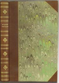
1818E0061323 pages with a portrait frontispiece and five colored aquatints. Octavo 8 3/4" x 5 1/2" bound in attractive half leather with marbled boards and gilt lettering to spine. Hill 1168 Second and best edition<br /><br />The Alceste brought Lord Amherst to China to serve as ambassador and specifically to negotiate the China trade at the time a matter of dispute between China and Great Britain.M'Leod who was surgeon on the ship describes the voyage out the various calls in the East Indies including touching at Batavia surveying off Korea the visit to Okinawa another to Manila and the shipwreck off the coast of Sumatra and subsequent rescue from Malay pirates. A brief but interesting interview with Napoleon at St. Helena is also included in the narrative. This was one of the most popular travel books of its time portraying the Far East to a much wider audience than had been reached by earlier accounts. The idyllic descriptions of Lewchew undoubtedly appealed to the romantic sensibilities of the era. Indeed buoyed by its success M'Leod published another work recounting his time as a slaver <i>A Voyage to Africa with some Account of the Manners and Customs of the Dahomian People</i>.<br /><br /><b>Condition:</b><br /><br />Attractive half rebind some foxing through out with no spotting to plates else a very good copy. John Murray hardcover books