HELFRITZ HansLivre Rare Book

1 365 résultats
1961172839Albin Michel Albin Michel, 1961. In-8 broché de 195 pages. Quelques lignes soulignées. Bon état.
1988LFA-126747837Un ouvrage de 200 pages, format 210 x 295 mm, illustré, broché, publié en 1988, Travaux de la Maisons de l'Orient, n° 16, bon état
198484751984. Paris éditions Maisonneuve & Larose coll. Islam d'hier et d'aujourd'hui 1984 - Broché 16 cm x 24 cm 281 pages - Texte de Joseph Chelhod et un groupe d'auteurs - 21 illustrations N&B hors-texte - Bon état
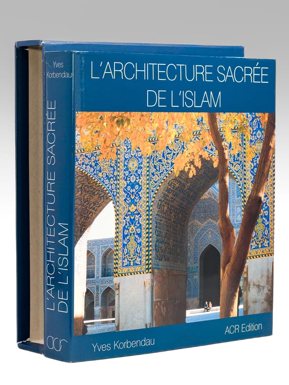
1997694531 vol. in-4 carré sous jaquette ill. couleur et emboitage cartonné, ACR édition, 1997, 479 pp.
1928X93104Beyrouth, Imprimerie catholique 1928 344pp., édition originale de 1928, 26cm., br.orig. (dos renforcé, qqs. petits manques) bien protégée par une couv. de papier cristal, étiquette et 3 cachets sur la page de titre, texte en très bon état, rare, X93104
1932667151 vol. in-8 rel. in-12 rel. demi-basane bordeaux, dos à 4 nerfs, couverture illustrée conservée, photos noir et blanc, s.l.n.d. [ Beyrouth 1932 ], 77 pp.
ORD-8961Tome IX de la Nouvelle Géographie Universelle, la Terre et les Hommes. Contenant 5 cartes en couleurs tirées à part, 155 cartes dans le texte et 85 vues ou types gravés sur bois. Paris. Hachette. 1884. In-4 (ca 200 x 275mm) plein chagrin rouge orné or de l'éditeur (magnifique reliure de SOUZE richement ornée or), tranches dorées, gardes moirées, (2), 951 pages. Important index. Reliure un peu assombrie mais bon exemplaire sans rousseurs, bien complet des illustrations.
1979G56468Paris, P.U.F. 1979 128pp., br.orig., 18cm., dans la série "Que sais-je ?" vol.1025
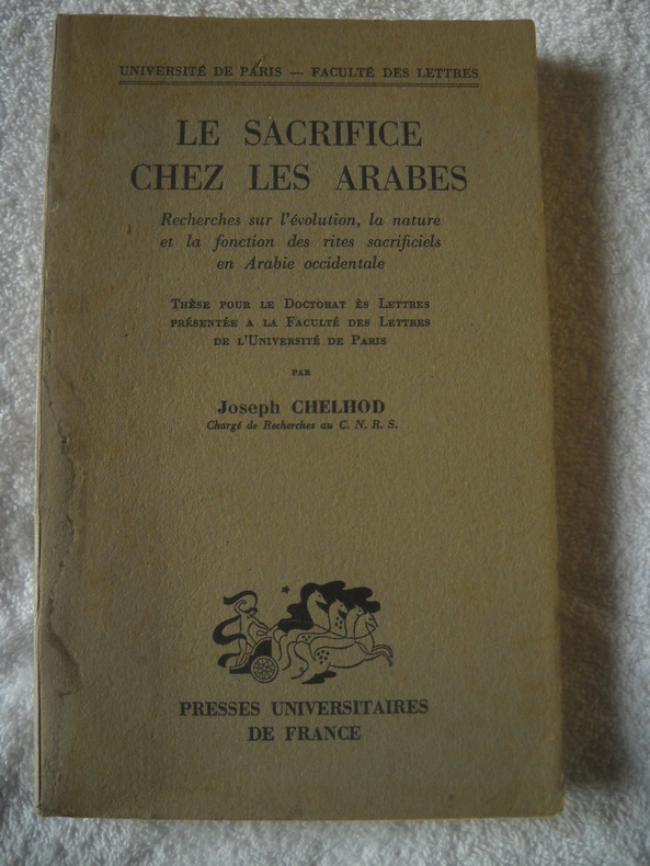
17911broché - 14x22 - 213pp - presse universitaires de france - thèse pour le doctorat ès lettres présentée à la faculté des lettres de l'université de Paris - 1955
Front endpaper a bit browning and with small stamp. Light soiling to DJ rear; ; 8vo; 262 pages
New New Turkish Original bdg. Dust wrapper. 4to. (33 x 25 cm). In Turkish. 461 p., color ills. Kutsal mekanlarda kutsanmis örtüler. Topkapi Sarayi'ndan örneklerle Kâbe örtüleri.
xxiv + 307pp.with 28 plates & 118 illustrations in-text + 1 large enfolding map, cart., 25cm., in the series "Handbuch der Altertumswissenschaft", VG
1963G56400Munchen, C.H.Beck 1963 xxiv + 307pp.with 28 plates & 118 illustrations in-text + 1 large enfolding map, cart., 25cm., in the series "Handbuch der Altertumswissenschaft", VG
17 pages, including a full-page sketch map. Plus photographic plates. Original condition with blue wrappers, titles to front, and containing all the ads. RGS stamp to front cover, otherwise this is a complete issue, seldom found in such good and original condition. In this is a fascinating narrative, the author reports on his nine months spent on a geological survey in the remote mountainous district of Kuhgalu, which he describes as a "region of formerly unruly tribes" . Throughout this report are thirteen magnificent illustrations: Kuh-i-Dina, with dust rising during rock falls, The 1933 landslide, Kuh-i-Dina from near Kakan, Talaspid village around a tumulus, Basht from N.W., Simarun from above, Diz-i-Kurd, Dishmuk, Ford across the river Khirsin, Crossing Kuh-i-Barfi, Vista from Balaga southward, Cliffs N.of Kuh-i-Alvarz, and Tang-i-Tasar.
Mm 285x380 Volume rilegato in tela con titolo in oro al piatto e al dorso, custodia editoriale, 272 pagine profusamente illustrate a colori con immagini dell'antico manoscritto islamico. Copia in condizioni di nuovo, ancora sigillato / New, sealed. SPEDIZIONE IN 24 ORE DALLA CONFERMA DELL'ORDINE.
19124967EBLeide, E. J. Brill, 1912. Groß-8°. 23,5 cm. Nicht durchgehend paginiert. Original-Broschur.
198069166Stacey International 1980 In-4 relié. 256 pages. Bon état d’occasion.
Roman traduit de l'arabe (Arabie Saudite), Actes Sud, Sindbad, 2011, 207 pp., broché, très bon état.
53993Roman traduit de l'arabe (Arabie Saudite), Actes Sud, Sindbad, 2011, 207 pp., broché, très bon état.
178035069Paris, Dezauche 1780. Dekorative, altkolorierte Kupferstich-Karte in der Plattengröße von 48 x 63 cm (Blattgr. 54,5 x 74,5 cm). An den Rändern stellenweise etwas bestoßen.
73pp. + [76] plates out-of-text, 27cm., cloth, copy from the collection of Jacques Ryckmans, G, [work on the ancient history and culture of South Arabia], OCLC 647942652, X72599
18 pages, including photographic illustrations and a large fold-out map, measuring approximately 9 x 17 inches (23 x 43cm). Contained within 2 complete issues of the Royal Geographical Society. Original condition with blue wrappers, titles to front, and containing all the ads. Two complete issues, small chip to cover of one issue, otherwise seldom found in such good and original condition. The region explored by Sykes in northern Mesopotamia was then little-known and only partially explored, making this a highly important expedition, as some of the earliest cultures in the world and indeed the cradle of civilization itself was thought to have sprung from the depths of these historic lands. Featuring primarily Kurdish custom, he reveals the contemporary Wetsern perceptions of Arabs being 'savage' and Kurds as 'ruthless'. While chronicling his journey he also describes astounding and legendary sites such as Ain el Arus, concluding with the important objective of a proposed railway route from Ras-el-ain, following the Khabur south to Shedadeh, to Tell Afar, then along the Tigris.
New English Paperback. 4to. (27 x 27 cm). In English and Turkish. 143 p., color and b/w ills. Journey to the sacred. Holy Kaba'h Muazzama.= Kutsala yolculuk. Kâbe-i Muazzama. [Exhibition catalogue]. Coord. by Mehmet Budak, Salih Nurettin Çevik. "The exhibition titled 'Journey to the sacred. Holy Kaba'h Muazzama' tells the story of this sacred journey, using documentary materials like photographs, postcards, engravings, and other documents that remain from Muslims of from who observe them in this most serious worship for the world of Islam in their journey from all around the world to the pilgrimage task. Beyond the recorded documents, artistic works that include maps prepared manually or with various tools for imprinting in different periods, lithographs, Ka'bah covers, photographs, and Hilyas which refer to this journey were bought together. The most comprehensive work on this subject in Turkey, the exhibition was prepared with works borrowed from various collections.
Boards faded and professionally repaired. Very light occasional foxing. Front free endpaper dog eared ; Scarce. SIGNED on front endpaper by the Earl of Ellenborough with his bookplate. Frontispiece of "Interior View of the Khasne". One fold-out map and Numerous tissue guarded b&w illustrations; 8vo; xxviii, map, 331, 4 pages
35 pages. Plus a large fold-out colour map, measuring approximately 8.5 x 13 inches (22 x 33cm). Original condition with blue wrappers, titles to front, and containing all the ads. This is a complete issue, seldom found in such good and original condition. Accompanied by a detailed color route map, this is a chronological account of the author's journey from Shiraz to Jâsk, passing through Fassa, Darab, Forg, Banda Abbas, and Minab. Also contains 3 pages of commentary by Sir Frederic J. Goldsmid on Preece's chosen routes, comparing his survey to those of previous travellers M. Du Pré and Consul-general Abbott. Preece began his expedition to then little-known parts of Persia on January 13th 1884 at Bushire, arriving at Shiraz on the 20th, and finally reaching Jashk on March 19th 1884. Here he provides a detailed survey of the villages and their populations, also describing ancient ruins and mounds, domesticated animals, roads, rivers, and general topography. He also includes the list of stations and distances from Shiraz to Jashk, and a vivid color route map.