3 551 résultats
1864Q3088Oldenburg, Verlag der Schulzeschen Buchhandlung, 1864. Ganzleinen, großes 8°, 403 S., mit zahlr. Abbildungen im Text, Inhalt: Arithmetik - Ebene Geometrie - Spärische trigonometrie - die gewöhnliche Schiffsrechnung - Die astronomische Schiffsrechnung
19253109DBHamburg, Buchdruckerei Gebr. Hoesch, 1925. V, 69 S. Orig.-Leinenband.
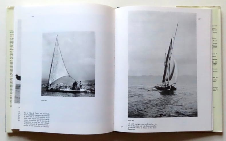
197618984Grenoble, Editions des 4 Seigneurs, 1976. In-4, pleine toile verte sous jaquette couleurs. Petits frottements au bord supérieur de la jaquette, avec petit accroc au premier plat (voir image), livre en belle condition. Abondamment illustrée en noir et bien complet des 10 plans dépliants annoncés, logés dans les contreplats (construction + formes + voilures de Neptune / plan général + formes + voilure de Victoire / Plan général + de forme + de voilure de Bourgogne / Plan de voilure de Savoie).
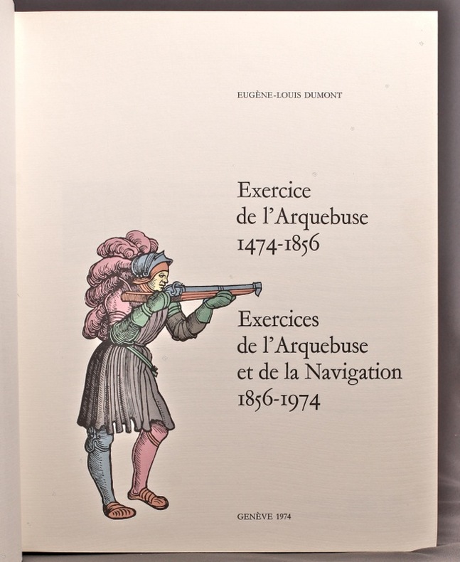
197414033Genève, Exercices de l'Arquebuse et de la Navigation (imprimerie Braillard), 1974. Fort volume in-4 de 323-[5] pages, plein skyvertex vert, figures dorées au dos et au centre du premier plat, titre doré au dos, filet doré encadrant les plats.
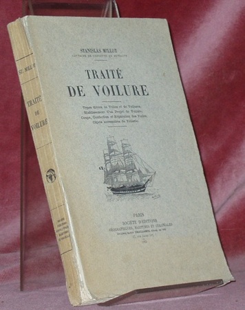
18293Paris, Société d’Editions géographiques et coloniales 1925 255x165mm, XI- 464pages, broché. Bas du dos en parti fendu, manque un coin de la page de faux-titre.
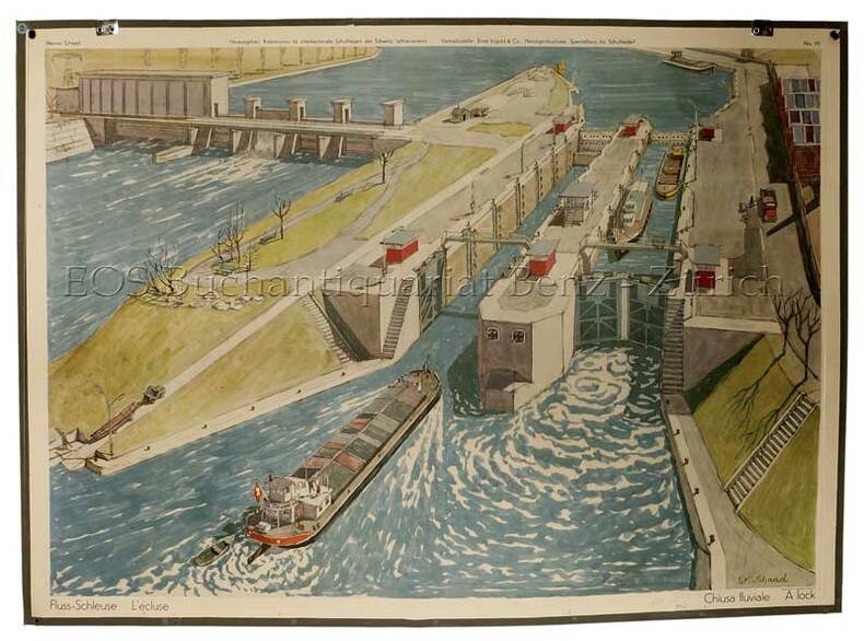
195772DGHerzogebuchsee, Ernst Ingold, 1957. Farbiger Offsetdruck auf Papier auf Leinen aufgezogen. Bildformat: 66 x 91 cm.
199642091Alexandria VA: The Institute of Navigation 1996. First Edition. First Printing. good. 850 wraps illus. diagrams references index cover somewhat worn and soiled. The Institute of Navigation paperback
18834004Washington DC: GPO 1883. fair ex-lib. 119 plates fold-out illus. tables bds weak & sm tears bds scuffed & edges worn sm pcs missing at spine & lib sticker. GPO unknown
18834003Washington DC: GPO 1883. fair ex-lib. 176 plates fold-out illus. sm tears & soiling tables pencil notes ins fr bd bds scuffed & edges worn sm tears at spine & lib sticker. GPO unknown
9788497001526New. unknown
11055Grand in 8 reliure éditeur pleine toile verte, avec scène animes dorée sur le premier plat: tramway électrique dos avec titre illustré : un téléphone, dorés, faux-titre, titre illustré avec mention de quatrième édition, un tampon de bibliothèque angle supérieur droit , tranches dorées, 400 illustrations dans le texte et à pleine page. Vuibert & Nony éditeurs, sans date, rousseurs éparses habituelles, plus concentrées en début et fin de volume. Beau cartonnage avec dorure éclatante. Bon exemplaire
1923165732Paris, Société d'Editions Géographiques, Maritimes et Coloniales, 1923. 236, VII, 120, 44, 24, 29, 24S., mit Illustrationen und Karten, 4° OHalbleinen, mit handgeschriebenen Rückentitel
195093576Saïgon, Imprimerie Française d’Outre-Mer 1950 In-4. Broché, couverture beige, premier plat imprimé de lettres noires et rouges, 201 pp., illustrations hors texte, bibliographie, notes, index. Couverture poussiéreuse, pages non coupées. Bon exemplaire.
New New English Original bdg. Dust wrapper. 4to. (32 x 22 cm). In English and Turkish. 136 p., color and b/w ills., 14 color folding plts. Ottoman sailing ships from galleys to galleons and Mikyas-i sefain. Particulars of ships and their equipment.= Kadirgadan kalyona Osmanlida yelken. Turkler, dogudan Anadolu'ya gelip denizle bulustuklarinda, yuzyillar oncesinden olusmaya baslamis Akdeniz kulturune ozgu gemilerle karsilastilar. Onlari kullanmayi ogrendiler, ustelik de cok ustun bir beceriyle kullandilar. Kisa zaman icinde Akdeniz'e hakim olup, dokuz yuzyila yakin hukumdarlik donemlerinde yuzlerce gemiden olusan filolara sahip oldular. Bu savaslara katilan gemiler, bu unlulerin komuta ettikleri, bu kesifleri gerceklestiren gemiler nerede? Boylari ne kadardi? Renkleri nasildi, kac direkliydiler, yelkenleri ne bicimdi, kurekleri var miydi, silahlari, susleri neye benziyordu? Kisacasi butun bu olaylarin sessiz tanigi ve alcak gonullu kahramanlari olan gemiler hakkinda ne kadar bilgimiz var? Important reference book on Ottoman sailing ships.
New New English Paperback. Dust wrapper. 4to. (28 x 24 cm). In English and Turkish. 235 p., color and b/w ills. Before and after Pîrî Reis: Maps at Topkapi Palace.= Pîrî Reis'ten önce ve sonra: Topkapi Sarayi'nda haritalar. Edited by Alev Taskin. Before and After Pîrî Reis: Maps at Topkapi Palace Pîrî Reis is one of the foremost names in the history of Turkish cartography and navigation. This exhibition explores his role in the history of Turkish mapping as well as that of subsequent cartographers.
New English Paperback. 4to. (28 x 24 cm). In English and Turkish. 229 p., color and b/w ills. The logbook of the Ottoman navy: Ships, legends, sailors.= Osmanli donanmasinin seyir defteri: Gemiler, efsaneler, denizciler. Ottoman Principality was introduced to the dark sea of the Middle Ages early in the 14 th century. The battles with the Venetians and the Genoese, conquests in Rumelia, and the establishment of the first shipyards all occurred during this period. As the conquest of Istanbul marked the end of the period of transition from Principality to Empire, the foundations of a strong navy that would unite the Mediterranean and the Black Sea over a political geography were laid. The power of the corsairs diminished by the end of the Renaissance; Barbaros Hayreddîn Pasha personified the golden age of Ottoman sea power. The discovery of the New World had instigated a revolution in the maritime world. Traditional Venetian galleys gave way to Spanish galleons and manpower was replaced by wind power. The Ottoman navy assumed a pioneering role in the process of modernization that extended from the 18 th to the 20 th century. Naval education in the Western sense, the implementation of new technologies and the organization of a modern fleet were all consequences of this period. Advancing from the galley to the battlecruiser, Ottoman sea power had the final say in the affairs of the Empire. "The Logbook of the Ottoman Navy: Ships, Legends, Sailors" exhibition intertwines three distinct, yet integrated mythologies of the sea. The imprint of the ships in Ottoman seafaring history, the battles they were engaged in and the heroes who became legendary in these battles assume their places on the stage of civilization in all their historic magnitude. At the center of the construct lies the extraordinary adventure of the transition from traditional to modern seafaring methods. The quest for power, the demolished thrones and man's identification of his fate with the sea is perhaps the oldest story behind this adventure. The cornerstones of a long history that extends from the legacy of a 16 th century Ottoman galley to the battlecruiser, Yavuz, is brought to light through the memories of seamen.
pp. xviii, 556 + 8 Chromoxylographic plates, a folding map and numerous woodcuts. XLib bookplate. Gift of Aaron Rabinowitz. Large 8vo. Original full orange cloth binding. Front board decorated in black with a drawing of mountains, bridge, river and town with a rainbow in gold. Spine decorated and lettered in gold. Beveled edges. Head of spine torn with some loss. Extremities slightly bumped and worn. Binding slightly soiled. Hardbound. Very good. Includes interesting material on: flying machines; balloons; pleasures and perils of aerial navigation; the Great Nassau Balloon; Scientific aerial voyages; the Balloon in War; weather; etc. JUN5 BOX 4. DC/14
197252502HMSO 1972 édition en anglais. 3 volumes. In-4. Reliure de l’éditeur pleine toile bleu ciel. XII + 324 + 1 planche volante - XIII + 242 - XIII + 338 pp. + 2 planches volantes. Coins de pied du volume 3 émoussés, sinon ensemble en bon état.
First Edition, half-title, 71, [1] pp., disbound. Kress, 3599; Goldsmith, 6363; Hanson, 3454.
4to, xxiii, [i], 502pp., facsimiles throughout, orig. cloth. Covers mechanics, astronomy, navigation, surveying, architecture and commerce, as well as pure mathematics. Each biography is followed by details of all the author's mathematical works, including many books and articles. 1,090 authors, over 8,000 books, illustrations and indexes. A scarce bibliography. A further part was planed but never issued.
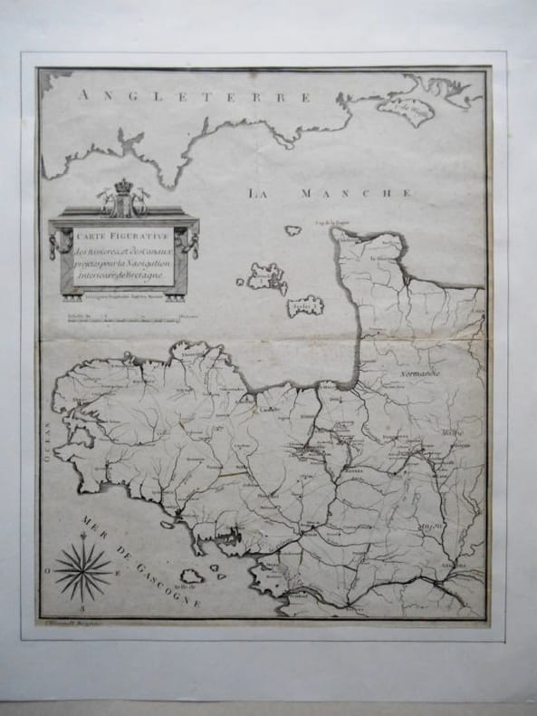
166124Carte figurative des rivières et canaux projetés pour la navigation intérieure en Bretagne Carte de 24 x 42 cm gravée par Ollivault à Rennes.Traces discrètes des pliures au format du livre .Carte provenant de :" Adresse du département de l ' Isle et Vilaine à l ' Assemblée Nationale pour demander la continuation de la Navigation intérieure ,et une somme de 679,044 liv. 10 sols 8 den. pour mettre à perfection les travaux de Redon à Rennes ".Rennes , J Robiquet 1791 .Cartographie des grands axes routiers, des voies navigables à la Révolution française.
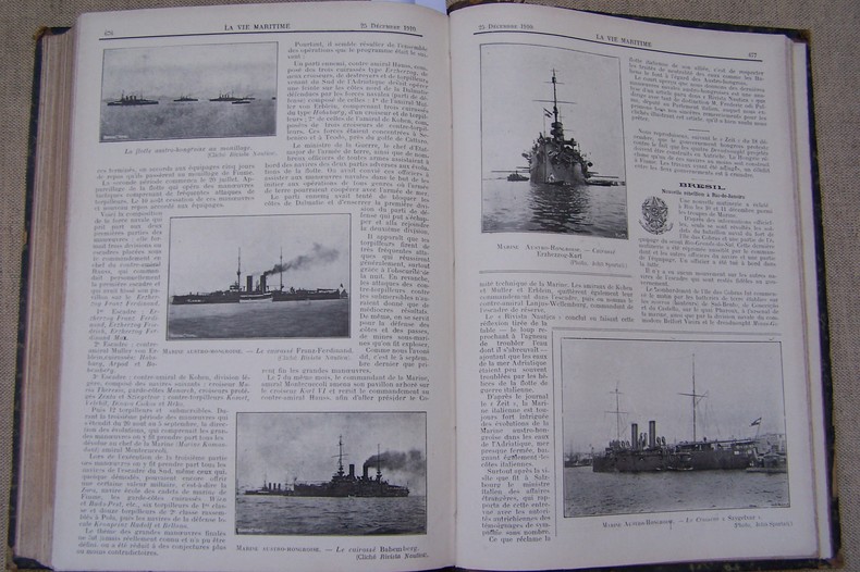
N91Du N°1 (10 Janvier 1910) au N° 24 (25 Décembre 1910). Un volume 19x27 cm, 716 pages, photos, dessins in-t., demi-basane très usagée. Les pages 105/106, 285/286, 333/334, 643/644, 663/664, 665/666 sont manquantes ou découpées.
Barcelona, Editorial Blume, 1972. Segunda edición, revisada y ampliada. Muchas ilustraciones en color y negro. 280 p. 4º cuadrado. Tela editorial con sobrecubierta ilustrada, algo fatigada. Puntos de óxido en los cortes. Buen ejemplar.
ORD-13013N°143 du Bulletin des Lois N°62. 20 Février 1832. In-8 (ca 140 x 220mm) sans couverture, non rogné, tel que paru, pages 77 à 83 du bulletin. Papier bruni, état moyen.