3 550 résultats
xiv + 379pp., with some illustrations, 21cm., Doctoral Dissertation (Abhandlung zur Erlangung der Doktowürde der Philosophischen Fakultät I der Universität Zürich), softcover, stamp at verso of title page, text is clean and bright (looks unread), G112021
Paris, Mallet-Bachelier Éditeur, 1855. 4to.; XVI-542 pp. y 11 láminas plegadas. Encuadernación de época, en media piel.
Lisboa, Officina Typographica, 1909. 4to.mayor; 202 pp., y una lámina retrato. Encuadernación moderna en media tela.
1934G110318Anvers, De Vlijt 1934 142pp. + 1 carte dépliante, 25cm., br.orig., Dissertation présentée à l'Ecole des Hautes Etudes Commerciales de l'Université de Lausanne pour l'obtention du grade de docteur ès-sciences commerciales et économiques, cachet au verso de la p.d.t., texte frais, pages toujours non coupées, G110318
142pp. + 1 carte dépliante, 25cm., br.orig., Dissertation présentée à l'Ecole des Hautes Etudes Commerciales de l'Université de Lausanne pour l'obtention du grade de docteur ès-sciences commerciales et économiques, cachet au verso de la p.d.t., texte frais, pages toujours non coupées, G110318
1971021607Antwerpen 1971 Scheepslicht Hardcover
18701241991870 Librairie Hachette et Cie, Paris - MDCCCLXX (1870) - In-12, broché - 248 pages
1995G110324[Amsterdam], 1995 216pp. + bl/w illustrations out of text, 24cm., softcover, text in English, Doctoral Dissertation (Universiteit Amsterdam), stamp at verso of title page, text is clean and bright, good condition, G110324
216pp. + bl/w illustrations out of text, 24cm., softcover, text in English, Doctoral Dissertation (Universiteit Amsterdam), stamp at verso of title page, text is clean and bright, good condition, G110324
12612Paris, Librairie Vuibert, s.d. [entre 1911-1914] ; in-8. 407 pp. - 1 vignette de titre et 356 figures en noir in-texte. Demi-basane aubergine à coins, doubles filets dorés sur les mors et les coins, tête dorée, mention de prix sur le plat supérieur, dos à nerfs, titre doré, filets et roulettes dorées sur les nerfs. Bel exemplaire, frais et sans rousseur.
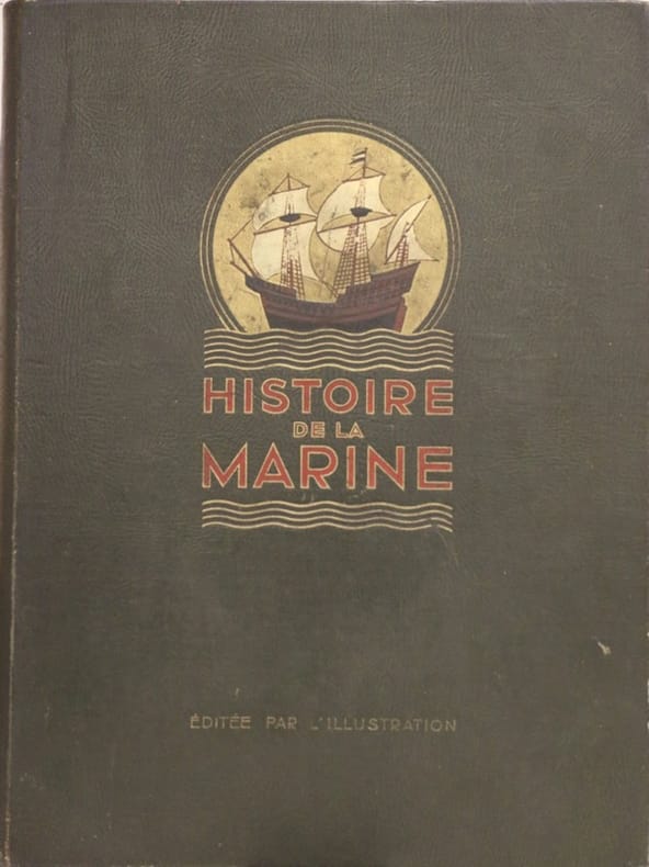
528734Paris, 1934. In-folio, reliure d'édition en percaline chagrinée noire, plat orné d'un décor polychrome et or, X-575pp, très importante iconographie documentaire en noir, héliogravure et en couleurs in et h.-t., notamment des planches contrecollées sur bristol formant un encadrement, cartes... cachet du foyer de la Marine de Marseille.
Madrid, Imprenta de Eduardo Arias, 1911. Doce volúmenes en 4to.; 634 pp. en paginación continuada + 715 pp, en paginación continúada. Ilustraciones entre el texto, láminas fotográficas y lámninas plegadas con planos y croquis. Cubiertas originales. Contiene, entre otros textos, "La columna y la linea en la Guerra de la Independencia" de C.W.C. Oman, traducido del inglés por Juan Arzadun, y "Teoría de la sustentación y propulsión de los Aeroplanos" de Francisco García Oltra.
Madrid, Imprenta de Eduardo Arias, 1913. Nueve volúmenes en 4to.; 704 pp. en paginación continuada, 32 pp., 32 pp. Ilustraciones entre el texto, láminas fotográficas y lámninas plegadas con planos y croquis. Cubiertas originales. Contiene, entre otros textos, "La columna y la linea en la Guerra de la Independencia" de C.W.C. Oman, traducido del inglés por Juan Arzadun, y "Teoría de la sustentación y propulsión de los Aeroplanos" de Francisco García Oltra.
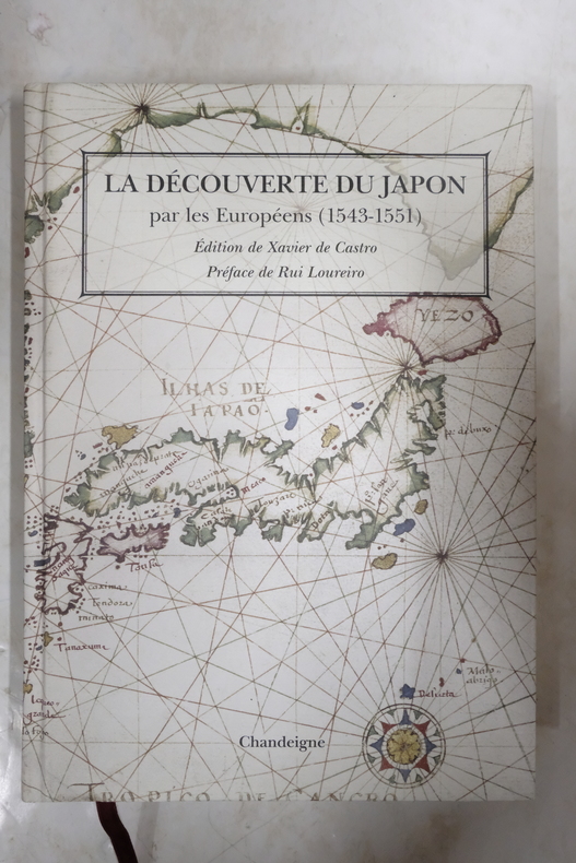
2013VOY4434MRelié, 418 pages, paru le 17 mai 2013 chez Chandeigne, livre en très bon état général. Nous avons d'autres exemplaires des éditions Chandeigne, retrouvez les dans notre catalogue grâce au mot-clé "Chandeigne".
1995biblio617Bethesda Md: Defense Mapping Agency Hydrographic / Topographic Center pub no 9 1995. Fine. <p>4to 873p ill maps full red cloth</p> Defense Mapping Agency Hydrographic / Topographic Center, pub no 9 hardcover
1883030508Annapolis: United States Naval Institute 1883. 1st Edition . Hardcover. Near Fine. Fourteen Folding Plates. 595 -631 14 Folding Plates A End. Brown Pebbled Cloth Gilt. Interesting Descriptions And Assessments Of Then-New Cruisers Armored But Powered By Both Steam And Sail. Ownership Signature Of Engineer George F Kutz See Journal Of The American Society Of Naval Engineers February 1921 For His Obituary; Also Ownership Signature Of "M. Fletcher" On Title Page. <br/> <br/> United States Naval Institute hardcover
ria9780080970936_inpPaperback / softback. New. New Book; Fast Shipping from UK; Not signed; Not First Edition; Suitable for seafarers and students alike this book provides an introduction to all aspects of ship stability and ship strength squat interaction and trim materials stresses and forces with numerous worked examples to assist master paperback
Very Good Turkish Modern cloth bdg. Roy. 8vo. (24 x 17 cm). In Turkish. 50, [2] p., 9 unnumbered folded maps. Türk süel alaninda harita ve krokilere verilen deger ve Ali Macar Reis atlasi. First Edition. Extremely rare.
Fine Fine English Original binding. Dust wrapper. Oblong 4to. (24 x 31 cm). In English and Turkish. Color and b/w ills. 151, [i], p. Historical diving equipment. Jeff Hakko Collection.= Tarihi dalgiç malzemeleri. Jeff Hakko Koleksiyonu. COLLECTION Scuba Diving Sports Diver Navigation.
Fine Fine English Original bdg. Dust wrapper. Folio. (33 x 23 cm). In English. 159, [1] p., color ills. Ottoman nautical charts and the Atlas of Ali Macar Reis. 16th century Ottoman nautical charts figure significantly in the history of cartography. Dating from the time when the Ottoman Empire was approaching its zenith of wealth and power, these charts are a valuable source of information about the history of the period. The work of the Ottoman privateers who then held sway over most of the Mediterranean, these charts cover a geographical area far beyond the bounds of the Ottoman Empire. as rulers of an expanding empire, the Ottoman sultans took a close interest in mapmaking and may well have commissioned their sea captains to draw the charts. When Piri Reis presented his first world map to Sultan Selim I, conqueror of Egypt, in 1517, the sultan is said to have declared, "How small is the world for a conqueror.". A very heavy volume.
New Turkish Original bdg. HC. 4to. (29 x 24 cm). In Turkish. 173 p., fully color ills., 1 folded map in end-pocket. Yeryüzü suretleri: M. Sinan Genim Koleksiyonundan. [Antique Maps of Istanbul Exhibition catalogue]. 12-27 Nisan 2019. Curated by Erkan Doganay. Ancient Istanbul / Constantinople maps from the Collection of M. Sinan Genim. Includes 78 items such as rare plans, maps, panoramic photographs, engravings of Istanbul and districts from the 15th century to 19th century. Mostly they are printed in Europe, but also in the Ottoman Empire as well. Folded map in end-pocket is "Carte de la Mer de Marmara du Canal des Dardanelles et de celui de Constantinople" par Kauffer. Size: 45 x 86 cm.
2 Vols., 4to, 350; 322pp., numerous coloured illustrs., throughout, orig. pictorial cloth, 552 lots.
19981041006.28The Institute of Navigation Alexandria VA 1998. Paperback. Very Good. 4to paperback. 2-volume set. Vg condition. Slightest outer rubbing barely noticeable contents bright & clean binding tight. 2114 total pp. list of participants. The Institute of Navigation, Alexandria, VA paperback
0331149737.Ghardcover. Good. Access codes and supplements are not guaranteed with used items. May be an ex-library book. hardcover
1391731158.Ghardcover. Good. Access codes and supplements are not guaranteed with used items. May be an ex-library book. hardcover