1 884 résultats
200-07738Harry Abrams. Hardcover. New. In shrink wrap. Looks like an interesting title! Harry Abrams hardcover
19852111902154602885Tokai University Press 1985. Soft Cover. Fine. The book is in fine condition. Tokai University Press paperback
1945997147 August 1945 Edition: United States Pacific Fleet and Pacific Ocean Areas. Very Good. 1945. Softcover. Book in metal brad stiff board pictorial US CINCPAC covers. RESTRICTED Bulletin No. 159-45. ; 345 pages . United States Pacific Fleet and Pacific Ocean Areas paperback
18972210164<p><i>Comprising two coloured map board 66 x 99 cm folding down to 32.5 x 49.5 cm one cloth hinge broken; 14 route cards; a barometer dial 19 x 19 cm with gilt metal spinning arrow some abrading from use; eight painted white metal playing pieces in the form of ships contained in the original small box one piece not original; 16pp booklet of instructions bound in original light green printed wrappers; all contained in the original box 35 x 52 x 5 cm; the hinged lid with a large coloured lithograph title label showing the 'Normandie' leaving port at full steam some minor abrasions but overall in good condition.</i><br /></p><p><i>Jue des Paquebots</i> was something new to games when it was published in 1897 as each player moves their boats on large maps exactly replicating the routes taken by two major French shipping lines. </p><p>The game includes two large folding boards designated 'Carte A' which illustrates the Atlantic shipping lines the other 'Carte B' with the shipping lines leaving Marseilles in the direction of the Black Sea the Indian Ocean and the Pacific. Rather pointedly the instructions state that the two maps include only the French shipping lines of the Messageries Maritimes and the Cie Générale Transatlantique the United Kingdom then the leading maritime nation is neither shown on the maps nor mentioned. </p><p>The players first decide which map they are going use and then select or bid one of the Itinerary cards 8 for map A and 6 for map B. The aim of each player is to complete the journey indicated by their itinerary and then make the return voyage; the first player to complete this double crossing wins. However the number of stopovers is not equal for each different itinerary in play. In order to equalise the chances of winning the players with the fewer ports of call have to repeat their journey a second or even a third time if necessary until the number of ports visited or passed by them in these different routes equates to the number of ports of the busiest route.</p><p>The routes all follow those which the two major French shipping companies plied. These include final destinations at Yokohama Australia New Zealand Zanzibar Odessa Buenos Ayres New York and the Antilles. </p><p>Each player places a ship playing piece at port at the beginning of their route. The first player now spins the Barometer Dial which has outer and inner instructions that allows them to advance out of port when their turn come around again the arrow is again spun and the player can read the inner line of instructions and so advance 1 2 or 3 ports along their route. However there are also stops on the Barometer Dial that include Damage - where you go back to the previous port and pay a token to the bank; Heavy Fog - where you are left stranded until the next round; Collision - this allows another turn of the dial but it the result is 50/50 chance of being sunk and thrown out of the game - you can pay for another ships so all is not lost; Call for Distress - also misses a turn; Shipwreck - something like collision although you can start out again with a new ship and no fine; Rescue - also causes the player to miss a turn; lastly and somewhat topical there is Quarantine - here the player misses a turn and also has a second spin of the arrow to determine if you can go into port or not.</p><p>The lid of the box illustrates the Cie Général Transatlantique liner La Normandie that plied the North Atlantic to New York in the summer and the south Atlantic in the winter - the ship sports a US flag on the foremast and the makers initials on the aft mast. Built in 1886 it was the largest and fastest liner of the company and was originally named 'Ville de New York.' It was also lit by electricity and could carry 1000 passengers and became the model for several sister ships built to the same plan.</p><p>The maker Charles Watilliaux succeeded the games manufacturer Coqueret in 1874 and for the next 35 years became a major publisher and manufacturer of board games and toys until their acquisition by Revenaz & Tabernat. His registered initials were 'W.X.' which is slightly modified for the flag on the box lid as C.W.X.</p> Watilliaux, éditeur.
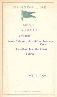
193046749n.p. 1930. 1st Printing. White card stock printed in teal lettering typed in blue now housed in a mylar sleeve. A VG copy. Age toning to leaf edges and corners rubbed vertical crease due to being folded otherwise bright. Broadside. Small vignette of the ships flag. 7" x 4" <br/><br/>The M.S. "Margaret Johnson" was a ocean linear passanger ship that was built in 1928 by Götaverken. It was in operation until scrapped in Ystad Sweden in 1962. unknown books
1989798246PN. New. 1989. Soft Cover. Date is original print. This is a reprint edition. . PN paperback
512 pages. The third of seven reports which cover the survey and demarcation of the international boundary between Alaska and Canada and between the United States and Canada from the Atlantic Ocean to the Pacific Ocean, excepting that part of the boundary through the Great Lakes and the St. Lawrence River, which was surveyed and reported upon by the International Waterways Commission. Compiled in accordance with the provisions of Article III of the treaty between the United States and Great Britain, signed at Washington, April 11, 1908. Printed on high quality coated paper. Includes four colour fold-out maps, all of which are in excellent condition. Dozens of fascinating black and white photographs. Detailed Table of Contents, List of Illustrations, and Indeces. Clean, bright and unmarked. Very light wear. Binding tight. Bright gilt lettering upon green spine. Lettering upon front board significantly faded. Top and bottom corners of the last 60 pages bear minor moisture-induced undulations. Very nice copy. Please note: Sketches of the triangulation and precise traverse were printed under separate cover which is not included. Book
191372891913 The Marconi Companies, octobre 1913; 4 fascicules in-4° agrafés de 12 à 16pp. Illustrations photographiques.
1837PHO-2143Paris, Arthus Bertrand, 1837, 1 volume (3) grand in-4° (30x24,5cm), VIII pp., 742 pp., demi basane époque, dos lisse avec auteur, titre et tomaison, frottements au dos, quelques rousseurs, défaut à la coiffe sup., de la bibliothèque de Cayrol avec son cachet et signature manuscrite.
1837PHO-2280Paris, Arthus Bertrand, 1837, 2 volumes (3) grand in-4° (30x24,5cm), VIII pp., 742 pp., demi chagrin et coins époque, dos lisse avec auteur, titre et tomaison, frottements au dos, quelques rousseurs, défaut à la coiffe supérieure. Édition originale du texte du voyage du Bougainville autour du monde, manque l’atlas.
177744433Amsterdam, et se trouve à Paris, chez Pissot, Nyon, 1777. In-8 de (4)-XIX-(1)-546 pp., veau havane marbré, dos orné à nerfs, pièce de titre en maroquin rouge, tranches rouges (reliure de l'époque).
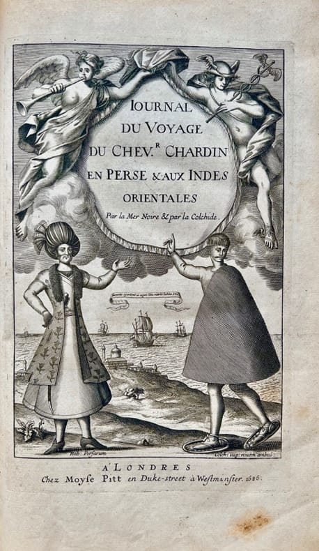
168642700Londres, Moses Pitt, 1686. In-folio de (10)-349-(5) pp., veau havane marbré, dos orné à nerfs, pièce de titre en maroquin rouge, tranches rouges (reliure de l'époque).
20162110502150400093Institute of Ocean Policy Japan 2016. Soft Cover. Fine. Volume: 1 Institute of Ocean Policy, Japan paperback
241 p., illus. Hardcover Good condition; cloth boards faded
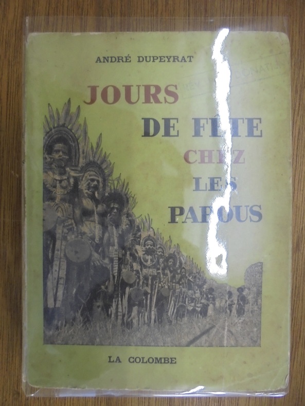
OCE172MLA COLOMBE / EDITIONS DU VIEUX COLOMBIER. 1954. In-8, broché, 174pp. Tampon ex-libris sur couverture. Intérieur convenable. Volume fatigué
2009195237676JuicySpirituality.com 2009 2009. As New. Paperback. Almost as new. 292 pp JuicySpirituality.com 2009 paperback
0956253806.Gpaperback. Good. Access codes and supplements are not guaranteed with used items. May be an ex-library book. paperback
198647630Editions Odile Jacob Malicorne sur Sarthe, 72, Pays de la Loire, France 1986 Book condition, Etat : Bon broché, sous couverture illustrée d'une vignette grand In-8 1 vol. - 247 pages
Collana "Le Scie" In 8o,Cartonato editoriale,titoli al dorso,sopracoperta illustrata.Alcune illustrazioni nel testo.Ottima copia.Pp.269
Very Good Turkish Paperback. Cr. 8vo. (20 x 14 cm). In Turkish. 256 p. Kanunî devri Osmanlilarin Hint Okyanusu politikasi ve Osmanli-Hint Müslümanlari münasebetleri, 1517-1538. Preface by Halil Inalcik. Policy of the Ottomans on Indian Ocean in the period of Sultan Suleiman the Magnificent.
Tavola dell'Oceano Pacifico, con la raffigurazione delle varie correnti
Carta dei flussi e dei fondali marini
20111601140109xbvkTokyo, Kaise-Sha, 2011. 64 / 64 unnumbered pages on thick glossy paper, colour-photographically illustrated throughout. - Publisher's colour-photogr. illustr. hardcover-bindings with col.-phot. illustr. dustjackets and imprinted belly-binds, together in the col.-phot. ill. whte slipcase; 4to.(ca. 27 x 23 x 2,5 cm; ca. 1,2 kg.).
307 pp., molte tavv. fotogr. f.t.; 20 cm. Tela edit. con sovrac. Piccoli strappi alla sovraccoperta, buono il volume