Tate, E. MowbrayMareMagnum

6 261 résultats
A clean, unmarked book with a tight binding. 272 pages. 8 5/8"w x 11 1/4"h. Full black cloth boards with bumped corner and a little wrinkling. Slight edge wear to dust jacket.
1933VZ172441933 250 p., 28 figs, 25 pls, folded tables in rear pocket, paperbound. Unopened copy.
(Codice VO/1161) In 8° 48 pp. Brossura editoriale, titolo a penna al dorso. Buono stato. ~~~ SPEDIZIONE IN ITALIA SEMPRE TRACCIATA
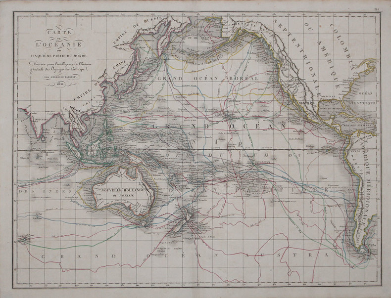
1825LBW-31631821 [1825]. 408 x 544 mm.
2007N4333Belin, 2007, 288 p.
2004EL376292004 vii, 248 p., 448 figures, 64 coloured plates (of which 57 are beautiful drawings by F. Gregor), blue publisher’s cloth (dust jacket). Monographs on Australian Lepidoptera Vol. 9. Library stamps, else good copy.
Roy. 8vo., First and Sole Edition, small, relatively unobtrusive damp-mark at lower outer blank margin (nowhere affecting text); strongly bound in modern grey boards, paper label lettered and ruled in black on upper board, original printed wrappers preserved, uncut, a good, sound copy of a scarce work. A SIGNED PRESENTATION COPY FROM THE AUTHOR'S WIFE WITH HER SIGNED HOLOGRAPH INSCRIPTION ON FRONT FREE ENDPAPER. With publisher's advertisement leaf bound in at end. Scarce. Ferguson 16696.
1275120105.Gpaperback. Good. Access codes and supplements are not guaranteed with used items. May be an ex-library book. paperback
In 16? (cm 17,8), Brossura originale, pagg.324-(12) con alcune illustrazioni b.n. n.t. (Teatro di guerra del Pacifico, Battaglia del Mar di Giava, Battaglia del Golfo Bella, Azione dei caccia del 17 agosto 1943, Sulla scia della corazzata Yamato 6-7 aprile 1945), Traduzione di Ugo Ugo Carrega, segni del tempo alla copertina, buon es. Collana"I libri pocket", 169. Prima edizione. Il capitano Tameichi Hara, protagonista di molti eventi narrati in questo libro, spiega in un linguaggio avvincente, riportando letteralmente conversazioni ed episodi svoltisi durante i combattimenti, molti fatti a proposito delle grandi battaglie navali e aeree tra le forze giapponesi e quelle degli USA, rimasti finora ignorati
Decorativa carta geografica pubblicata in The Illustrated Atlas, And Modern History Of The World Geographical, Political, Commercial & Statistical… edito da John Tallis. Le mappe del The Illustrated Atlas non solo fornivano conoscenze geografiche aggiornate, ma utilizzavano anche viste a vignetta all'interno del disegno per mostrare i popoli nativi e le loro occupazioni, le città e i punti di interesse. Le mappe si rifanno alla tradizione cartografica dei cartografi olandesi del XVII secolo, con bordi decorativi finemente incisi. Le tavole sono state disegnate e incise da John Rapkin con vedute realizzate da una serie di artisti di spicco. Le mappe furono pubblicate in volume completo dal 1851 fino al 1865 circa. Alcune delle mappe furono pubblicate anche in altri libri di storia pubblicati da Tallis, tra cui quello sulle British Colonies e, senza le vignette, in dizionari geografici ed enciclopedie fino al 1880 circa. John Tallis (1817-1876) era un editore di mappe britannico. Nato nelle Midlands, Tallis arrivò a Londra negli anni '40 del XIX secolo. Tallis iniziò la sua carriera londinese con una serie di notevoli vedute stradali di Londra. Iniziò una collaborazione con un certo Frederick Tallis, forse suo fratello, ma la loro collaborazione terminò nel 1849. In occasione della Grande Esposizione del 1851, Tallis pubblicò il The Illustrated Atlas. Le mappe furono successivamente ristampate dalla London Printing & Publishing Company, che lasciò intatta l'imprint di Tallis, assicurandogli così una fama duratura. Incisione su acciaio, coloritura dei confini all'acquarello, in ottime condizioni. Decorative map taken from The Illustrated Atlas, And Modern History Of The World Geographical, Political, Commercial & Statistical by John Tallis The maps from The Illustrated Atlas were first published in serial form to a target audience that led insular lives due to the expense and hardship of travel. All that changed as the progress of the nineteenth century brought swift and dramatic changes in public awareness of far away places. Tallis' maps no doubt played an important role in this dramatic awakening. These maps not only provided up-to-date geographical knowledge, but also used vignette views within the map's design to show the native people and their occupations, cities and points of interest. The maps hark back to a cartographic tradition from the Dutch mapmakers of the seventeenth century with finely engraved decorative borders. The maps were drawn and engraved by John Rapkin with views drawn and engraved by a number of prominent artists. The maps were issued as a complete volume from 1851 until about 1865. Some of the maps were also published in other history books published by Tallis including British Colonies and, without the vignettes, in geographical dictionaries and encyclopedias until about 1880. John Tallis (1817-1876) was a British map publisher. Born in the Midlands, Tallis came to London in the 1840s. Tallis began his London career with a series of remarkable London street views. He began a partnership with a Frederick Tallis, possibly his brother, but their collaboration ended in 1849. For the Great Exhibition of 1851, Tallis published the Illustrated World Atlas, one of the last series of decorative world maps ever produced. The maps were later reissued by the London Printing & Publishing Company, who left the Tallis imprint intact, thus ensuring his enduring fame. In 1858, he began publication of the popular Illustrated News of the World and National Portrait Gallery of Eminent Personages, selling it in 1861 (it ceased publication in 1863).
Decorativa carta geografica pubblicata in The Illustrated Atlas, And Modern History Of The World Geographical, Political, Commercial & Statistical… edito da John Tallis. Le mappe del The Illustrated Atlas non solo fornivano conoscenze geografiche aggiornate, ma utilizzavano anche viste a vignetta all'interno del disegno per mostrare i popoli nativi e le loro occupazioni, le città e i punti di interesse. Le mappe si rifanno alla tradizione cartografica dei cartografi olandesi del XVII secolo, con bordi decorativi finemente incisi. Le tavole sono state disegnate e incise da John Rapkin con vedute realizzate da una serie di artisti di spicco. Le mappe furono pubblicate in volume completo dal 1851 fino al 1865 circa. Alcune delle mappe furono pubblicate anche in altri libri di storia pubblicati da Tallis, tra cui quello sulle British Colonies e, senza le vignette, in dizionari geografici ed enciclopedie fino al 1880 circa. John Tallis (1817-1876) era un editore di mappe britannico. Nato nelle Midlands, Tallis arrivò a Londra negli anni '40 del XIX secolo. Tallis iniziò la sua carriera londinese con una serie di notevoli vedute stradali di Londra. Iniziò una collaborazione con un certo Frederick Tallis, forse suo fratello, ma la loro collaborazione terminò nel 1849. In occasione della Grande Esposizione del 1851, Tallis pubblicò il The Illustrated Atlas. Le mappe furono successivamente ristampate dalla London Printing & Publishing Company, che lasciò intatta l'imprint di Tallis, assicurandogli così una fama duratura. Incisione su acciaio, coloritura dei confini all'acquarello, in ottime condizioni. Islands outlined with gold and surrounded by illustrations of Auckland, Mount Egmont, a New Zealander, and the port of Wellington. Border in a New Zealand motif. Decorative map taken from The Illustrated Atlas, And Modern History Of The World Geographical, Political, Commercial & Statistical by John Tallis The maps from The Illustrated Atlas were first published in serial form to a target audience that led insular lives due to the expense and hardship of travel. All that changed as the progress of the nineteenth century brought swift and dramatic changes in public awareness of far away places. Tallis' maps no doubt played an important role in this dramatic awakening. These maps not only provided up-to-date geographical knowledge, but also used vignette views within the map's design to show the native people and their occupations, cities and points of interest. The maps hark back to a cartographic tradition from the Dutch mapmakers of the seventeenth century with finely engraved decorative borders. The maps were drawn and engraved by John Rapkin with views drawn and engraved by a number of prominent artists. The maps were issued as a complete volume from 1851 until about 1865. Some of the maps were also published in other history books published by Tallis including British Colonies and, without the vignettes, in geographical dictionaries and encyclopedias until about 1880. John Tallis (1817-1876) was a British map publisher. Born in the Midlands, Tallis came to London in the 1840s. Tallis began his London career with a series of remarkable London street views. He began a partnership with a Frederick Tallis, possibly his brother, but their collaboration ended in 1849. For the Great Exhibition of 1851, Tallis published the Illustrated World Atlas, one of the last series of decorative world maps ever produced. The maps were later reissued by the London Printing & Publishing Company, who left the Tallis imprint intact, thus ensuring his enduring fame. In 1858, he began publication of the popular Illustrated News of the World and National Portrait Gallery of Eminent Personages, selling it in 1861 (it ceased publication in 1863). Engraving, hand-coloured outlines, in very good condition.
1950RO80087413ALBIN MICHEL. 1950. In-12. Broché. Etat d'usage, Couv. légèrement passée, Manque en coiffe de pied, Intérieur frais. 405 pages. Quelques planches de photos en noir et blanc, en fin d'ouvrage. Quelques dessins en noir et blanc, dans le texte. Coiffe en-tête usée.. . . . Classification Dewey : 996-Autres régions du pacifique
1954RO80099455MICHEL Albin. 1952 - 1954. In-12. Broché. Bon état, Couv. légèrement passée, Dos satisfaisant, Intérieur frais. 405 pages. Quelques planches de photos en héliogravure. Nombreux dessins en noir et blanc, hors-texte. Carte dépliante en noir et blanc, en fin de tome 1. Petite déchirure sur le 2nd plat du 1er tome.. . . . Classification Dewey : 996-Autres régions du pacifique
1950RO80112667ALBIN Michel. Mai 1950. In-12. Relié. Etat d'usage, Couv. légèrement passée, Dos satisfaisant, Intérieur acceptable. 405 pages. Quelques planches de photos en héliogravure. Quelques dessins en noir et blanc, dans le texte, par Amandine Doré. Ouvrage de bibliothèque : code sur la coiffe en-tête et tampons sur la page de titre et dans quelques marges.. . . . Classification Dewey : 996-Autres régions du pacifique
ML2766P, A Michel, 1952, in8br, 378pp Langue: Français
1997VF084281997 213 p., 93 figs, 4to, paperbound. This volume contains 9 papers on the deep-sea fishes from New Caledonia.
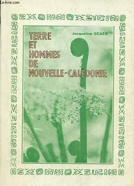
1976R100071611Imprimeries reunies de Noumea. 1976. In-8. Broché. Etat d'usage, Couv. convenable, Dos satisfaisant, Papier jauni. 166 pages - nombreuses photos en noir et blanc hors texte.. . . . Classification Dewey : 996-Autres régions du pacifique
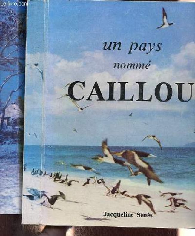
1981R100071533Imprimeries reunies de Noumea. 1980-1981. In-8. Broché. Bon état, Couv. convenable, Dos satisfaisant, Intérieur frais. 366 pages + 357 pages - nombreuses photos, illustrations en noir et blanc dans et hors texte - quelques photos en couleurs hors texte.. . . . Classification Dewey : 996-Autres régions du pacifique
1940ED346141940 65 p., 139 figs, paperbound (original printed covers). Mémoires du Museum National d’histoire naturelle.
1966066903Australian National Advisory Committee for Unesco 1966. Soft cover. Very Good. Large softcover in VG condition: unmarked slight wear slight corner bumps. 95 pages. 7oz <br/> <br/> Australian National Advisory Committee for Unesco paperback
1 - Public Celebration of Conclusion of Armistice with Germany. The Domain, Sydney, Wednesday, 13th Nov., 1918. Arranged by the Government in Conjunction with the Returned Sailors and Soldiers' Imperial League of Australia. An original 4-Page leaflet, printed by William Applegate Gullick, Government Printer. Includes an opening address by the Premier, Hon. W.A. Holman, with addresses by His Excellency the Governor, and Col. Chaplain McKenzie, M.C. Pamphlet measures approximately 10 inches x 7.5 inches (25cm x 19cm). Creases and repaired tears to leafs, otherwise in Good Condition. This is a Rare document printed by the Government of Australia. 2 - Ball's Head Beautification Scheme. Municipality of North Sydney . Inaugural Ceremony Held on Saturday, 25 July, 1931. An original 4-Page leaflet, printed by the North Sydney Printing Co. Includes program for the Inaugural Ceremony and a brief history of Ball's Head by Captain J. H. Watson, honorary research secretary of the Royal Australian historical society. Pamphlet measures approximately 9 inches x 5.75 inches (23cm 14,5cm). Indication of a fold to center, otherwise in Very Good Condition Nicely Preserved
88141Verviers (Belgique), Editions Gérard/Marabout, 1971. 11 x 18, 185 pp., nombreuses illustrations, broché, bon état.
60 pages. "Concerning the trials and tribulations, lives and ways of that red-blooded, outdoor breed of men who have built the Great Northwest of America." - from copyright page. Moderate wear to blue boards. Binding sound. Prior owner's name, dated 1946, upon front free endpaper else unmarked. We suspect this was originally a soft cover copy which was rebound in hardcover. Quality copy. Book
94 pages. Black and white illustrations in text. "A second book of verse concerning the trials and tribulations, lives and ways of the loggers living and working in the Great Northwest of America." - subtitle. Small 'Compliments of..." bookplate upon front free endpaper, otherwise clean and unmarked with light wear. Bound in forest green buckram without dust jacket. Binding tight. A quality vintage copy. Edwards & Lort 3430. Lowther 1829. Book