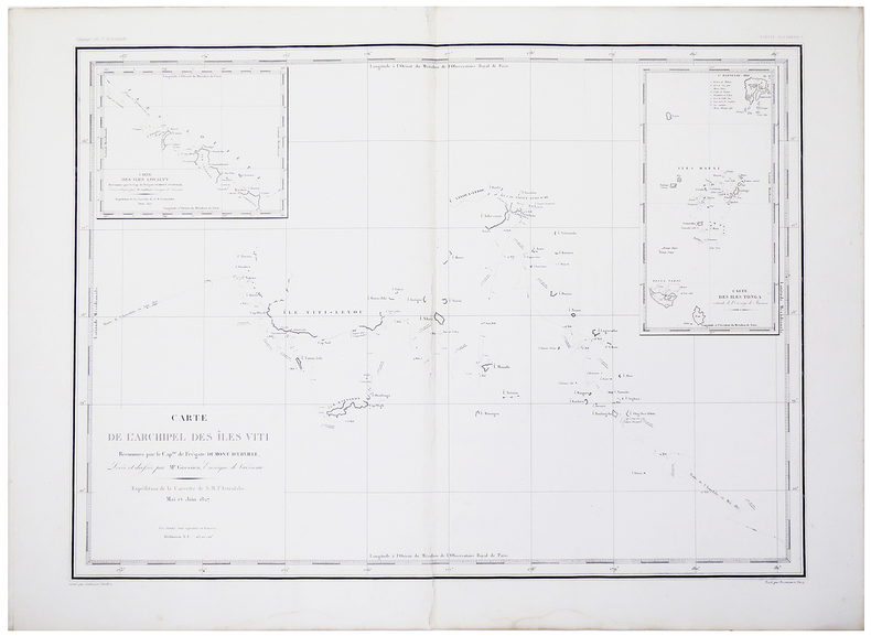
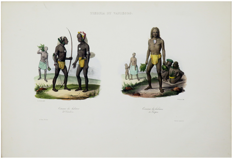
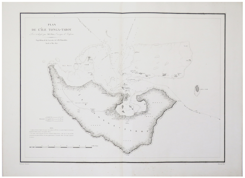
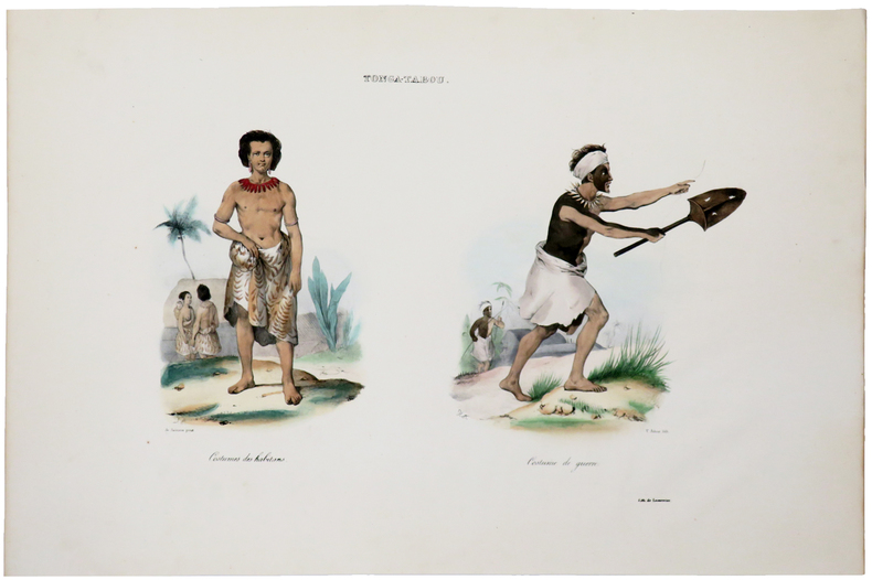
[TIKOPIA] Tikopia.
1833LBW061a5[Paris, 1833]. 383 x 230 mm.
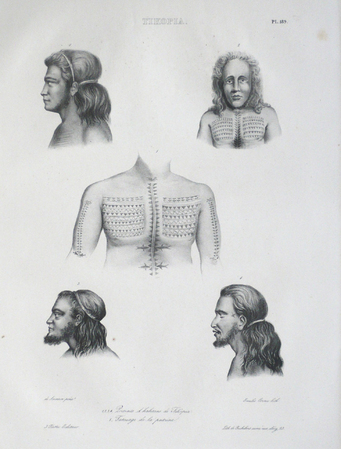
Librairie Le Bail · Paris, France80,00 €
6 261 résultats
19752412050448xbvkHoniara, British Solomon Islands Protectorate, printed by the Government Printer, 1971-1975. Detailed collation: I. Annual titlepage, v pages 'Index', 224 pages (Issue #1-#4 individually paginated [16 p. in total], Issue 5 starts with p. 17, then onwards to p. 224). / II. Annual titlepage, xiii pages 'Index', 245 pages. / III. Annual titlepage, xi pages 'Index', 200 pages. / IV. Annual titlepage, x pages 'Index', 245 pages. / V. Annual titlepage, xi pages 'Index', 196 pages. - 'Publisher's' titled greyblue halfcloth bindings with yellow thick cardboard-panels; 8vo.(ca. 20,5 x 14 x 9 cm; ca. 2,5 kg.).
1982190107049xbvkBeijing, Cartographic Publishing House / Xinhua Bookstore, 1982. 6 folded sheets (26,5 x 38,5; unfolded: 53 x 77; in total, 3 vertical x 2 horizontal: 159 x 154, incl. ca. 2 cm blank frames on each sheet). - Together in publisher's illustrated and printed vertical paper-sleeve; Folio (ca. 39 x 27 cm).
1833LBW061a5[Paris, 1833]. 383 x 230 mm.
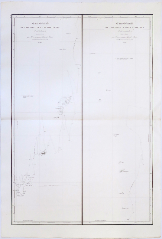
1827LBW-4425[1827]. 537 x 767 mm.
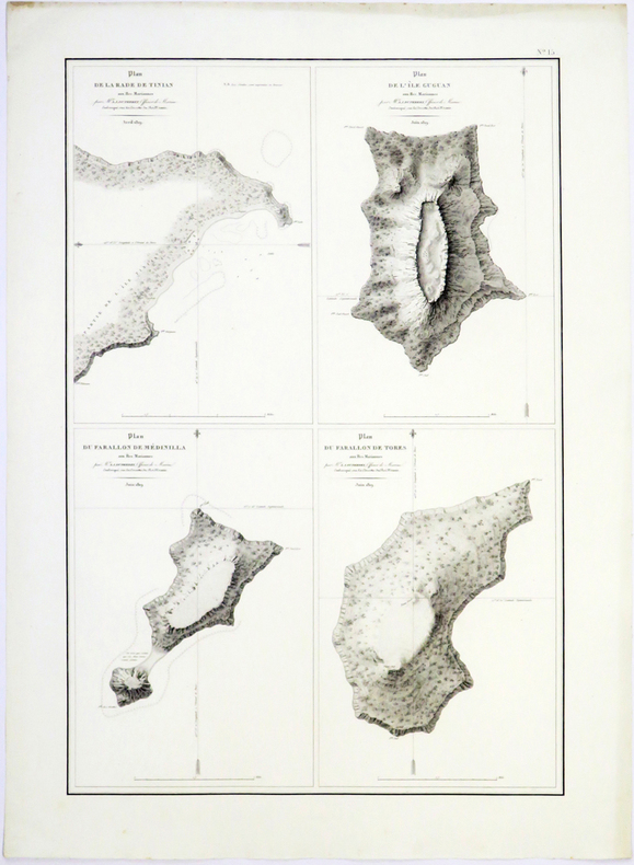
1827LBW-4448[1827]. 471 x 768 mm.
1778LBW-8800[1778]. 220 x 348 mm.
1833LBW-5461[Paris, 1833]. 430 x 585 mm.
1826LBW-4987[Paris, 1826]. 766 x 507 mm.
1826LBW-4989[Paris, 1826]. 494 x 331 mm.
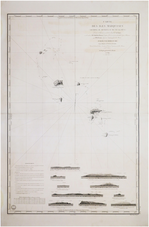
1845LBW-7576[Paris], Dépôt-Général de la Marine, 1842 [1845. 882 x 590 mm.
1833LBW-5464[Paris, 1833]. 220 x 335 mm.
1833LBW-5456[Paris, 1833]. 427 x 580 mm.
1833LBW-5463[Paris, 1833]. 250 x 350 mm.
20152083002115701070Kawade Shobo Shinsha 2015. Soft Cover. Fine. Number of pages: 159p Size: 22cm Number of books: 1 Kawade Shobo Shinsha paperback
20152083002115701403Kawade Shobo Shinsha 2015. Soft Cover. Fine. Number of pages: 159p Size: 22cm Number of books: 1 Kawade Shobo Shinsha paperback
60409 ½ inches 24 cm. diameter; 21 inches 53 cm. total height. Single pedestal globe with horizon ring armature & meridian all of wood wear and staining on meridian at point where fits into stand some chipping at extremities else fine; globe with vibrant original color and clear sharp patina; some abrasion & losses mostly in lower and upper extremities; overall very good plus condition.<br /><br />An attractive very capably executed table or desk globe in the distinctive style of the Delamarche firm <i>"the most successful French entrepreneurs in maps and globes"</i> Dekker/ van der Krogt. This was an original work by the son Felix who succeeded his father in the management of the firm in 1817. The globe is geographically up-to-date notably in the South Pacific and Alaska with information from then recent Russian voyages such as Krusenstern's. Related to this at the time the globe appeared and reflected on it Europeans were beginning to differentiate between various regions of the Pacific. These were based on a better understanding of cultural and other differences between the peoples of various areas encountered on these recent voyages. For example in 1831 the French explorer Dumont d'Urville proposed the use of the terms "Micronesia" and "Melanesia" for various parts of the Pacific as distinguished from Polynesia. Printed dashed lines on this globe labeled "Division Oceanique" roughly approximate the three eventually accepted divisions of what is referred to as the South Pacific though the regions are not named on the globe. Delamarche also clearly identifies on the globe the more traditional divisions of the Pacific between "Grand Ocean Boreal" "Grand Ocean Equinoxial" and "Grand Ocean Austral."<br /><br />The Delamarche firm was the first to successfully reach a fairly sizable general market of globe buyers. It accomplished this by reducing the cost of constructing globe stands and other parts while maintaining a high level of quality in the maps of their globes which are cleanly and attractively engraved. Traditional brass meridians were replaced by wooden ones and the horizon rings and armatures supporting the rings were greatly simplified and made from either wood or stiff board. Also the firm generally used simpler single-pedestal stands rather than four-legged designs. Yet as this well-preserved example demonstrates Delamarche's design and materials proved to be very durable.<br /><br />Charles-Francois Delamarche 1740-1817 the founder of the family firm was the successor of the great map and globe-making family the Robert De Vaugondys as is cited in the title of this globe. Delamarche in fact seemed to have cornered the globe market in France by also incorporating the stocks of Jean Fortin and Jean Lattre. Delamarche's son Felix took over the firm upon his father's death and managed it until 1848 when Gosselin succeeded him. The firm continued well into the latter 19th century under yet another Delamarche descendent.<br /><br />Dekker/ Van der Krogt <i>Globes from the Western World</i> pp. 63 74; Dekker E. <i>Globes at Greenwich</i> pp. 321-25; Suarez T. <i>Early Mapping of the Pacific</i> p. 25.
60409 ½ inches 24 cm. diameter; 21 inches 53 cm. total height. Single pedestal globe with horizon ring armature & meridian all of wood wear and staining on meridian at point where fits into stand some chipping at extremities else fine; globe with vibrant original color and clear sharp patina; some abrasion & losses mostly in lower and upper extremities; overall very good plus condition.<br /><br />An attractive very capably executed table or desk globe in the distinctive style of the Delamarche firm <i>"the most successful French entrepreneurs in maps and globes"</i> Dekker/ van der Krogt. This was an original work by the son Felix who succeeded his father in the management of the firm in 1817. The globe is geographically up-to-date notably in the South Pacific and Alaska with information from then recent Russian voyages such as Krusenstern's. Related to this at the time the globe appeared and reflected on it Europeans were beginning to differentiate between various regions of the Pacific. These were based on a better understanding of cultural and other differences between the peoples of various areas encountered on these recent voyages. For example in 1831 the French explorer Dumont d'Urville proposed the use of the terms "Micronesia" and "Melanesia" for various parts of the Pacific as distinguished from Polynesia. Printed dashed lines on this globe labeled "Division Oceanique" roughly approximate the three eventually accepted divisions of what is referred to as the South Pacific though the regions are not named on the globe. Delamarche also clearly identifies on the globe the more traditional divisions of the Pacific between "Grand Ocean Boreal" "Grand Ocean Equinoxial" and "Grand Ocean Austral."<br /><br />The Delamarche firm was the first to successfully reach a fairly sizable general market of globe buyers. It accomplished this by reducing the cost of constructing globe stands and other parts while maintaining a high level of quality in the maps of their globes which are cleanly and attractively engraved. Traditional brass meridians were replaced by wooden ones and the horizon rings and armatures supporting the rings were greatly simplified and made from either wood or stiff board. Also the firm generally used simpler single-pedestal stands rather than four-legged designs. Yet as this well-preserved example demonstrates Delamarche's design and materials proved to be very durable.<br /><br />Charles-Francois Delamarche 1740-1817 the founder of the family firm was the successor of the great map and globe-making family the Robert De Vaugondys as is cited in the title of this globe. Delamarche in fact seemed to have cornered the globe market in France by also incorporating the stocks of Jean Fortin and Jean Lattre. Delamarche's son Felix took over the firm upon his father's death and managed it until 1848 when Gosselin succeeded him. The firm continued well into the latter 19th century under yet another Delamarche descendent.<br /><br />Dekker/ Van der Krogt <i>Globes from the Western World</i> pp. 63 74; Dekker E. <i>Globes at Greenwich</i> pp. 321-25; Suarez T. <i>Early Mapping of the Pacific</i> p. 25. books
2004NG201992004 viii, 384 p., num. figs & maps (many col.), 12 col. pls, 4to, hardbound. With CD-ROM. Records of the Western Australian Museum. New copy.
VV297921990 / 1992 / 1994 3 volumes. iv, 71, vi, 58, 128 p., num. illustrations/photographs, paperbound.
DJ with light wear to extremities; An anthology of writings on the appeal of islands by noted authors such as Jules Verne, Washington Irving, A. C. Doyle, among others. ; 8vo; 345 pages
1019177004.Ghardcover. Good. Access codes and supplements are not guaranteed with used items. May be an ex-library book. hardcover
20131290Xlibris Corporation 2013. Revised. Paperback. Very Good. Oversized softcover. A very good copy with minor bending at the corners and a lift to the front cover. All pages clean and unmarked. Solid binding with no creasing at the spine. 167 pp. filled with full color photos of Oregon's 50 / 51 covered bridges. Beware - the photos and directions and some of the history are great BUT the author has a hard time with grammar in general. Still worth the time if you love the local history of these beautiful bridges. <br/><br/> Xlibris Corporation paperback
0366447300.Ghardcover. Good. Access codes and supplements are not guaranteed with used items. May be an ex-library book. hardcover
197372430New York: Union Pacific Railroad Company 1973. Paperback. Very Good. xii 86p. Wrapper. Plastic comb binding. 28cm. Text printed on one side. Countries surveyed: United States Canada Great britain France West Germany Italy the Netherlands and Japan. <br/><br/> Union Pacific Railroad Company paperback books