443 résultats
1875BF06844n.d. (ca. 1875) 32 p., 2 lithographed pls, plain wrappers. Published in: Annales des Sciences Naturelles.
18063025Edinburgh, A. Constable, 1806. In-8 de VII-232-LXI pp., cartonnage de l'époque.
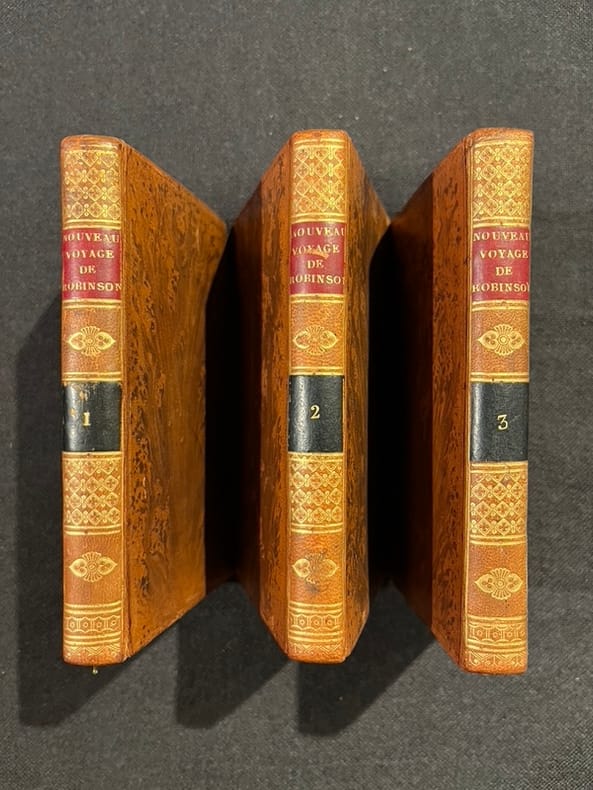
180415855Paris, Cordier et Legras, 1804. 3 volumes in-12 de [4]-VIII-182; [4]-176 et [4]187-[1] pages, plein veau raciné, dos lisses ornés de filets et fleurons dorés, pièces de titres et tomaison rouge et noire.
1898EH055671898 53 p., paperbound. Published in: Memoirs and Proceedings of the Manchester Literary and Philosophical Society.
1899EW320801899 Trans.ent.Soc.London, Part IV, 1899 : in-8, broché extrait, pp. 435-473, 1 planche N&B hors-texte. Très bon état !
188044732Paris, Imprimerie nationale, 1880. Grand in-8 de 200 pp., 3 grandes cartes dépliantes, percaline beige (Gilg, Dodé).
1884ED305771884 Trans.ent.Soc.London, 1884 : in-8, broché extrait, pp. 269-275, très bon état !
18252452Paris, Anselin et Pochard, 1825. In-8 de VIII-63 pp., 1 tableau replié, demi-chagrin bleu, couverture imprimée et dos conservés (reliure moderne).
1893GG105371893 10, 2, 8 p., disbound (no covers). Published in: Journal and Proceedings of the Royal Society of New South Wales.
1885WRCAM54057St. Paul Mn 1885. 64pp. with in-text illustrations. Original pictorial wrappers extracted from larger volume. Very good. An attractive 1885 promotional publication by the Northern Pacific Railroad providing detailed descriptions and numerous illustrations of attractions to be taken advantage of along their routes from Minneapolis and Saint Paul to Seattle and thence to Alaska. Includes a map illustrations and descriptions of Yellowstone. unknown books
1870WRCAM28967Philadelphia 1870. 2-294pp. Self-wrappers stitched. Front wrapper detached slight toning. Very good. The articles of incorporation of the famed northwest railroad that would later help build the fortune of railroad magnate James J. Hill. Built too quickly the Northern Pacific traversed poor land and ran on ill- constructed rails. By 1896 the success of James J. Hill's Great Northern allowed Hill and his associated to buy the Northern Pacific and merge it with the Great Northern. Throughout the remaining industrial revolution and into the early 20th century the Great Northern was the main transporter of lumber coal and taconite loads from their sources to St. Paul and Minneapolis where they would continue east or be shipped by barge down the Mississippi. unknown books
1868WRCAM33573AWashington: Government Printing Office 1868. 39pp. plus large color folding map 23 1/4 x 44 3/4 inches. Original printed wrappers. Presentation inscription on front wrapper see below. Wrapper edges chipped minor soiling and tanning to wrappers spine partially chipped old vertical fold to pamphlet. Light foxing and tanning and occasional soiling throughout Map with a few small closed tears at cross-folds with no loss. About very good. This copy is inscribed on the front wrapper: "With Regards of James Tilton C.E." Tilton 1819-78 was then chief engineer of the Washington Division of the Northern Pacific Railroad. Thanks in part to his support for Franklin Pierce's presidential campaign Tilton was appointed the first Surveyor General of Washington Territory and served from 1853-61. Both the Tilton River and Fort Tilton near Fall City Washington are named for him. <br> <br> An important report to Congress by the Northern Pacific Railroad headed by Minnesota railroad magnate James J. Hill for federal aid to support the Railroad's expansion to the West Coast. The petition reviews the railroad's original charter printing with it a memorial from the NPRR's Board of Directors and supporting communications from military figures including Montgomery Meigs and Ulysses S. Grant. Since the early 1850s Edwin Johnson described by Wheat as a "visionary" engineer had been associated with the plan to build a railroad across the northern part of the United States from the Great Lakes to the Pacific Coast. In 1867 he was named chief engineer of the Northern Pacific and this memorial is a work of major importance for the history of the railroad. It includes Johnson's topographical survey of the route to the Pacific a discussion of potential problems that may be encountered and a detailed economic and military survey of the area in justification of construction. <br> <br> The exceptional large folding "Map of the Country from Lake Superior to the Pacific Ocean from the Latest Explorations and Surveys" was produced by the Colton firm in New York. One of the finest maps of the region to date it shows the area from Detroit to the Pacific well into Canada and south to about the 39th parallel. Johnson has drawn the route of the Northern Pacific from Lake Superior to Washington Territory where the line splits with one branch heading toward Fort Vancouver and the other to Puget Sound. Among the details shown on the map are the Pony Express route wagon routes and overland mail routes exploration routes and other proposed railroad routes the locations of Indian tribes mineral deposits military forts and much more. Wheat gives a long description of the map and remarks that "the detail of such a map defies cataloging." Construction on the Northern Pacific Railroad began in 1870 and was completed in 1883. Edwin Johnson did not see its completion dying in 1872. An edition of this report with the supporting documents and map was also privately published in Hartford. <br> <br> A significant early account of railroad expansion in the Northwest. We could find only ten copies listed in OCLC and this is the first copy we have seen in wrappers and with a presentation from an important engineer on the project. RAILWAY ECONOMICS pp.242-43. SABIN 55819 Hartford edition. WHEAT TRANSMISSISSIPPI WEST V item 1169 pp.205-09. PHILLIPS MAPS p.916. DECKER 37:266 Hartford ed. MIDLAND NOTES 68:164. OCLC 60578657. Government Printing Office unknown books
1867WRCAM15950Hartford 1867. 11pp. Self-wrappers. Binding residue along spine edge lightly chipped else very good. This memorial was directed at the Senate and the House of Representatives requesting government aid for continuing construction. This copy is signed by Thomas Canfield one of the directors of the line. unknown books
1884WRCAM8167Washington 1884. 34pp. Original printed wrappers. Spine chipped else very good. Reprints the original charter the grant of land by Congress with amendments followed by consent of the states of Minnesota Wisconsin and Oregon. unknown books
1881WRCAM176431881. 46pp. Printed wrappers a near fine specimen. Copy of the general first mortgage for the Northern Pacific Railroad for the purpose of constructing a railroad and telegraph line between Lake Superior and Puget Sound. unknown books
188741282N. P.: Crocker & Co. 1887. 1887. RAILROAD CALIFORNIA. First edition. 6 1/4" x 13 3/4" goldenrod colored paper folds to 6 1/4" x 3 3/8" two-sided eight panel timetable with exquisite scenes a map and train schedules for the Northern California lines of the railroad. The timetable has engraved vignettes and ornate lettering by E. Schultze. This is an attractive museum quality timetable and one of the rarest and finest early Southern Pacific railroad pieces that we have handled. It's in near fine condition and 130 years old. Crocker & Co., 1887. unknown
188035140New Tacoma W.T.: North Pacific Coast Publishing Company 1880. Newspaper. Fair. Newspaper. Pages 33-48. Pages are separated and detached. Front page has a corner chip with slight loss of print both sides. Edge wear and small tears to the fragile paper. <br /> <br /> Contents include North Pacific Exploration; The Chehalis and the Willapa; Opportunities for Settlers; The Ascent of Takhoma and more. Fair condition. Territorial imprint. North Pacific Coast Publishing Company unknown
19002716ml1900. Soft Cover. Good. Gd. condition : Gay Literature . A mag to match the movie . . L6a paperback
18851099Chicago: Geo. F. Cram 1885. Good plus. Large folding pamphlet approximately 20 x 41.5 inches. A few small chips and short closed tears at edges; several short separations and very minor losses along folds. Contemporary agent's ink stamp on cover panel. Tape repair across portion of horizontal fold; one panel with patches of light staining. A scarce colorful promotional for the Rock Island Route as well as its national and international connections with a fascinating stamp of an Australian sales agent. One side of the sheet prints an extensive promotional text and timetables for the various routes and services of the Chicago Rock Island & Pacific Railway. The main side of the sheet prints a map of the United States with state borders shaded in four colors highlighting the principal routes of the Rock Island from Chicago to Minnesota Iowa and Kansas and its connections to points on both the East and West Coasts. An inset map at lower right promotes the Rock Island as part of a transcontinental route between the United Kingdom Ireland and Australia. Most interestingly this copy is stamped on the cover panel with the information of a George. H. Hibbard "Australian Passenger Agent America's Cons'd Trans-continental Railways 6 Bridge Street Sydney N.S.W." Hibbard was evidently the agent in charge of distributing information about the trans-America route in Sydney one of its end points. Several issues of this map were published during the 1880s all scarce. We locate copies of the present 1885 issue at Stanford SMU and the Library of Congress. Geo. F. Cram unknown books
18851099Chicago: Geo. F. Cram 1885. Good plus. Large folding pamphlet approximately 20 x 41.5 inches. A few small chips and short closed tears at edges; several short separations and very minor losses along folds. Contemporary agent's ink stamp on cover panel. Tape repair across portion of horizontal fold; one panel with patches of light staining. A scarce colorful promotional for the Rock Island Route as well as its national and international connections with a fascinating stamp of an Australian sales agent. One side of the sheet prints an extensive promotional text and timetables for the various routes and services of the Chicago Rock Island & Pacific Railway. The main side of the sheet prints a map of the United States with state borders shaded in four colors highlighting the principal routes of the Rock Island from Chicago to Minnesota Iowa and Kansas and its connections to points on both the East and West Coasts. An inset map at lower right promotes the Rock Island as part of a transcontinental route between the United Kingdom Ireland and Australia. Most interestingly this copy is stamped on the cover panel with the information of a George. H. Hibbard "Australian Passenger Agent America's Cons'd Trans-continental Railways 6 Bridge Street Sydney N.S.W." Hibbard was evidently the agent in charge of distributing information about the trans-America route in Sydney one of its end points.<br /> <br /> Several issues of this map were published during the 1880s all scarce. We locate copies of the present 1885 issue at Stanford SMU and the Library of Congress. Geo. F. Cram unknown
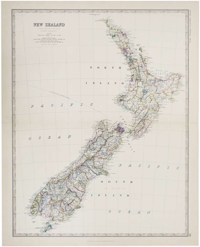
1884LBW-509Edinburgh, 1884. 571 x 441 mm.
1850DEMO014460IPhiladelphia: Printed by C. Sherman 1850. Popular Edition. Hardcover. Good. 64 excellent steel-plate engravings with 12 of 13 maps Samoa map apparently never inserted many vignettes and woodcuts. Octavos half brown calf blue marbled boards edges and endpapers; vol. 1 rebacked retaining original back and leather labels scuffing and wear to other spines corners worn. <br/><br/>Wilkes' expedition was the first American scientific exploring expedition by sea voyage. His six ships sailed south around South America along Antarctica causing Wilkes to decide that Antarctica was indeed a separate continent. Other stops were at the Pacific islands of Tahiti the Samoas Australia and New Zealand. Maps of Tahiti & Australia and New South Wales Along the way they charted the coasts of California Washington and Oregon. Howes W414; Palau 375505; Sabin 103994 note; see Cowan p.683; Taylor PACIFIC BIBLIOGRAPHY p.13. "Wilkes' spectacular Antarctic and South Sea explorations - Goetzmann ARMY EXPLORATION IN THE . WEST p.61" 64 excellent steel-plate engravings many vignettes and woodcuts. Unlike the 1844 edition the following Sherman editions did not have a 6th volume - the Atlas but have 3 Tables and 11 maps Printed by C. Sherman hardcover
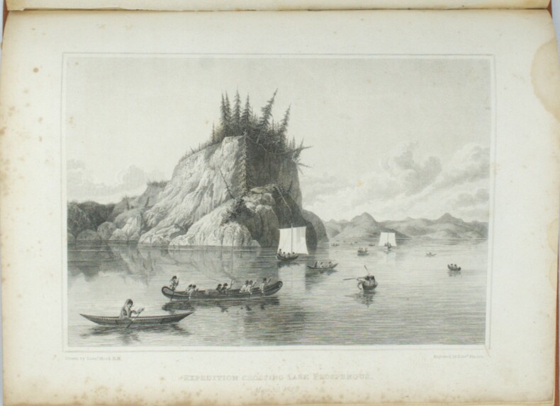
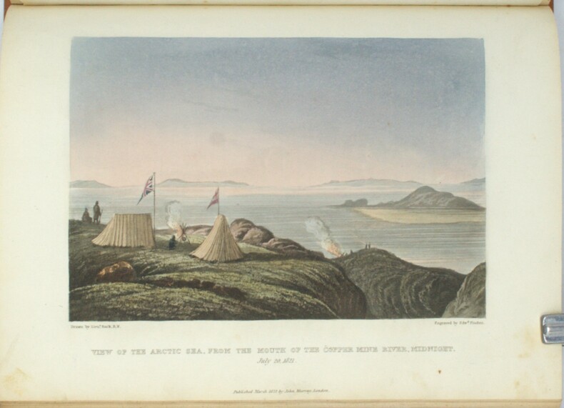
1823PHO-1666London, John Murray, 1823 et 1828, 2 volumes In-4, relié pleine toile orange, dos lisse avec pièce d’auteur et titre, date en pied, xvi-768pp. et xxvi-320pp.cvii-1f., tome 1, tâche sur les 5 premiers feuillets, petites rousseurs, mouillure angulaire sur les planches au tome 2, petits frottements à la reliure. Édition originale, illustrée de 30 planches dont 11 en couleurs pour le tome et de 31 planches au tome 2, les cartes manquent, Cachet Émile Petitot, Ex-libris manuscrit, Ex-libris Jean-Pierre Legrand-Deloron. Avec une mention signée : "membre de l'Expédition arctique T.A. 23 , 1972-1973" .
1828PHO-1669London, John Murray, 1828, 1 volume In-4, relié pleine toile orange, dos lisse avec pièce d’auteur et titre, date en pied, xxvi-320pp.cvii-1f., petites rousseurs, mouillure angulaire sur les planches au tome 2, petits frottements à la reliure. Édition originale, 31 planches, les cartes manquent, Cachet Émile Petitot, Ex-libris manuscrit, Ex-libris Jean-Pierre Legrand-Deloron. Avec une mention signée : "membre de l'Expédition arctique T.A. 23 , 1972-1973" .
1823PHO-1668London, John Murray, 1823, 1 volume In-4, relié pleine toile orange, dos lisse avec pièce d’auteur et titre, date en pied, xvi-768pp, tome 1, tâche sur les 5 premiers feuillets, petites rousseurs, petits frottements à la reliure. Édition originale, illustrée de 30 planches dont 11 en couleurs, les cartes manquent, Cachet Émile Petitot, Ex-libris manuscrit, Ex-libris Jean-Pierre Legrand-Deloron. Avec une mention signée : "membre de l'Expédition arctique T.A. 23 , 1972-1973" .