Olearius, AdamAntiquariat.de

453 résultats
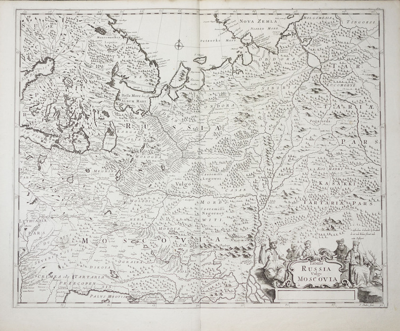
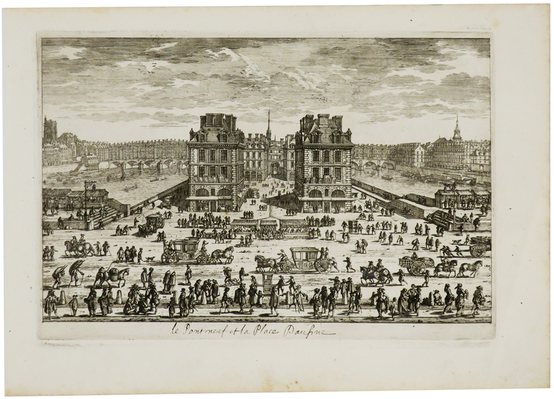
167978821[Paris, A. Dezailler, 1679]. 28,5 x 36,5. Unter Passepartout.
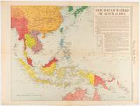
1619180757Chicago.: Chicago Daily Tribune. December 161942. Printed colour map on a single newspaper leaf 41.6 x 52.8 cm; 45 x 60 cm sheet inset legends marginal browning and at the folds but remarkably bright in very good condition. Map of Southeast Asia published in the Chicago Daily Tribune "The World's Greatest Newspaper" delineating the Pacific theatre of war with a detailed text legend. "This is a new war map of the far east showing an important part of southeastern Asia and Australasian waters from a station in which according to Prime Minister Curtin of Australia a United States fleet will operate." Interestingly New Guinea is marked as British rather than as an Australian administrative region which it became following the Treaty of Versailles. <br> <br>"… the historic Chicago Tribune was an innovator in color inks and printing but also a pioneer in bringing colorful art in the form of illustrations photographs cartoons and advertisements to the average person in an everyday medium." see The Janet A. Ginsburg Chicago Tribune Collection Michigan State University Libraries. . Chicago Daily Tribune. unknown
164027186Amsterdam J. BLAEU 1640 une carte ancienne gravée sur cuivre en couleur parJ. BLAEU, Format : 60 x 48 cm, coloriée a la main d'époque au contour et au lavis. Décoré des armoiries de l'Espagne et des Baléares, d'élégants cartouches de titre et d'échelle, de rose des vents, de navires, de trirèmes et de créatures marines finement enluminées, en latin, 1640 Amsterdam J. BLAEU Editeur,
1668LBW-8686[Amsterdam, 1668]. 433 x 540 mm.
1647LBW-8804[Amsterdam, 1647-1669]. 382 x 502 mm.
1640LBW-1469Amsterdam, [circa 1640]. 382 x 498 mm.
1662LBW-6308[Amsterdam, 1662]. 374 x 486 mm.
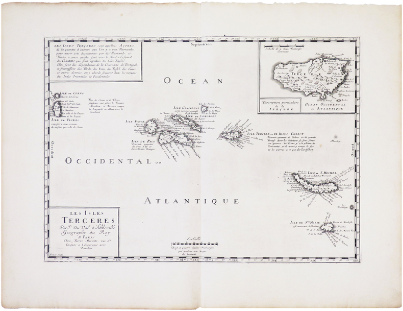
1654LBW-8148Paris, Pierre Mariette, [1654]. 321 x 442 mm.
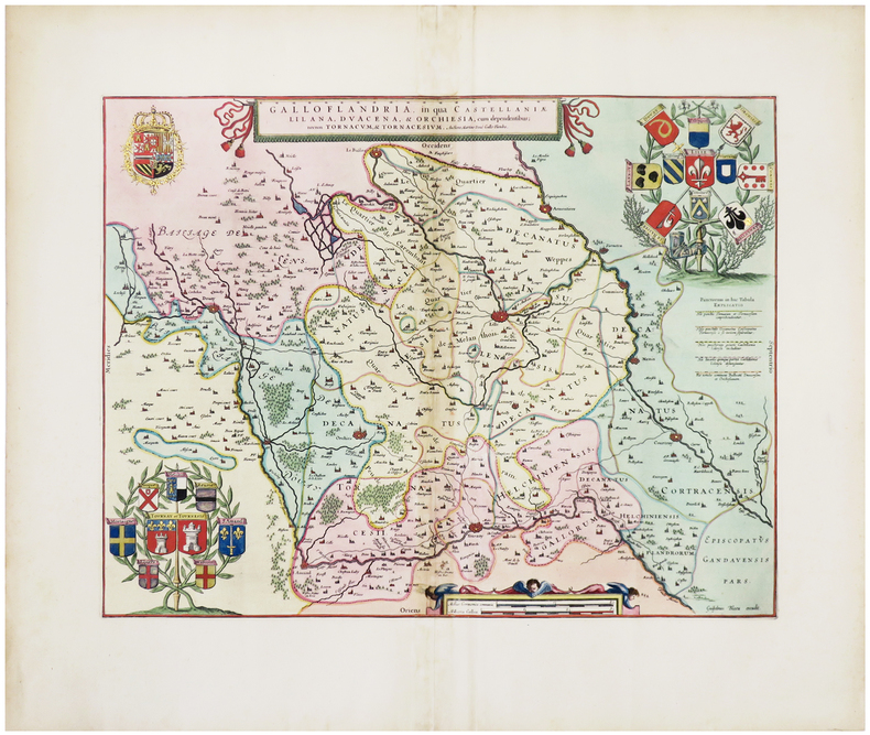
1638LBW-1397Amsterdam 1638 397 x 488 mm.
1630LBW-8705[Amsterdam, circa 1630]. 368 x 491 mm.
1667LBW-6494[Paris, Jollain, 1667]. 135 x 185 mm.
1649LBW-3539[1649]. 289 x 346 mm.
1649LBW-3591[1649]. 217 x 343 mm.
1700LBW-8050Amsterdam, Pierre Schenk, [circa 1700]. 487 x 577 mm.
1683LBW-6971683 182 x 276 mm.
1634LBW-4640[Paris, 1634]. 104 x 152 mm.
1683LBW-2754Paris, H. Jaillot, 1683. 351 x 451 mm.
1680LBW-9006Amsterdam, F. de Witt, [circa 1680]. 454 x 557 mm.
1700LBW-2278vers 1700. 450 x 558 mm.
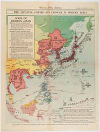
1619180755Chicago.: Chicago Daily Tribune. December 161941. Printed colour map on a single newspaper leaf 50 x 41.5 cm; 60 x 45 cm sheet two inset legends marginal browning and at the folds but remarkably bright in very good condition. Map of the Japanese Empire published in the Chicago Daily Tribune "The World's Greatest Newspaper" on December 16th 1941 9 days after the bombing of Pearl Harbour. The two legends list the "Wars of Modern Japan" from 1894 with territorial gains marked noting that "Each seizure of mainland areas has given Japan new field of raw materials." <br> <br>"… the historic Chicago Tribune was an innovator in color inks and printing but also a pioneer in bringing colorful art in the form of illustrations photographs cartoons and advertisements to the average person in an everyday medium." see The Janet A. Ginsburg Chicago Tribune Collection Michigan State University Libraries. . Chicago Daily Tribune. unknown
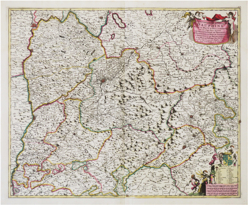
165824912Amsterdam JANSSONIUS Joannes 1658 une carte ancienne gravée sur cuivre (Copper etching) en noir et couleurs d'Epoque. Format : 44,5 cm de haut x 55 cm de large, pli central vertical normal venant d'un atlas( horizontal centerfold), texte en latin au verso, carte ornée de 4 cartouches richement ornés de 20 angelots et dun paysan entrain de ramasser des pommes. carte double page gravée et colorée à la main d'époque, provenance : "Atlas novus, sive theatrum orbis terrarum : In quo Galliae, Helvetiae(Volume II)", 1658 Amsterdam JANSSONIUS Joannes Editeur,
1610LBW06154[Dordrecht, Adrianus Bottius, 1610]. 152 x 183 mm.
1690LBW-730[Paris, circa 1690]. 183 x 274 mm.
168831082Amsterdam, (ca. 1688). 49,5x57 cm. Kobberstukket kort over Slesvig og Sønderjylland i original håndkolorereing. Med 2 dekorative kartoucher med putti og våbenskjold. Et meget lille hul i kystlinie øverst, repareret. Lille revnedannelse i foldningen øverst.
164525260(Amsterdam, 1645 or later). 39,2x50 cm. Fine engraved map over Huntingdon, broad margins, fine orig. handcolouring. Clean. Large cartouche with dogs and huntingscenes. Map decorated with many large coats of arms.