Wally KovalMareMagnum

11 973 résultats
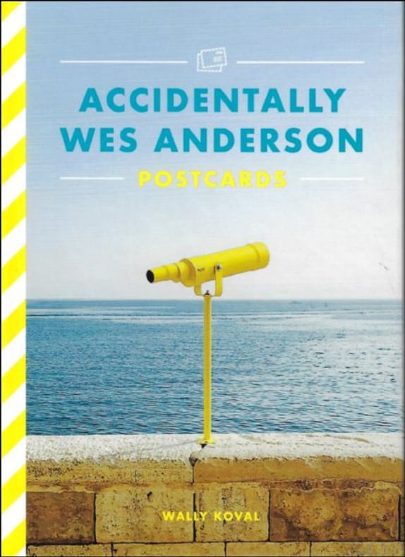
Card Book, ENG, 26 postcards in colour, 160 x 115 mm, NEW, from different places in the world,. ISBN 9781399608725. 26-POSTCARD SET featuring 26 full-colour photographs from the bestselling Accidentally Wes Anderson book, based on the Instagram phenomenon. FOR FANS OF WES ANDERSON and Wally Koval alike, these postcards pay homage to the director's unique style with photographs from the most interesting locations spotted all around the world. STURDY PAD-BOUND BOOK allows for easy browsing and detachment of each postcard individually. Accidentally Wes Anderson: The Book invited us to journey to more than 200 real-life "Andersonian" locations around the world. From the tasteful technicolour of the Venetian Lagoon to Hong Kong's Choi Hung Estate (aptly named after the word for "rainbow" in Cantonese), the collection is an irreverent reverie for the armchair traveller, drenched in nostalgia, whimsy and charm. Now wherever you are in the world - home or away - with this beautiful postcard set you can send a little piece of Wes Anderson's unique aesthetic to your loved ones, complete with your own 'wish you were here' note.
No marks or inscriptions. No creasing to covers or to spine. A very clean very tight copy with bright unmarked boards and no bumping to corners. 172pp.
1979UWALVOY00LNWFriends of Bancroft Library 1979. Very Good. Wallis Helen Keeper of Maps British Library. The Voyage of Sir Francis Drake Mapped in Silver and Gold. Berkeley: Friends of Bancroft Library 1979. 26pp. 8vo. Blue wraps. Book condition: Very good. Friends of Bancroft Keepsake #27. Friends of Bancroft Library paperback books
Engraved map, hand-coloured in outline, dissected into 15 sheets. Mounted on linen, folding into blue cloth covers, original printed label. Dimensions: 340 x 410 mm. (13 x 16 inches). Landkarten de
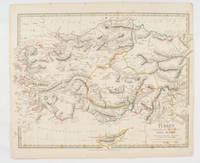
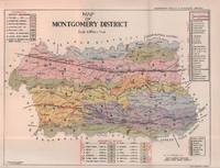
1830175250London.: Society for the Diffusion of Useful Knowledge. Baldwin & Cradock. 1830. Engraved map wth outline hand colour 29.7 x 42 cm relief shown in hachures key to abbreviations including "Ancient Ruins" the west and east extremities attactively engraved to burst through the border original folds map with occasional spotting more pronounced at the lower corner edges a little ragged small chip to the inner margin no loss to the map manuscript pagination in the lower corner but in good condition. . Society for the Diffusion of Useful Knowledge. Baldwin & Cradock. unknown
1839782121839. Longman Rees and Co. 1839. Early Edition. Hardback. No DW. Brown textured cloth. 9cm x 12.5cm. Linen-backed fold-out map in colour 35cm x 42cm . Ownership signature to inside cover. A lovely copy. hardcover
19096413Ragaz 1909. 1 mehrfarb. Faltplan m. Textteil. 18x12 cm (35x45 cm). [2 Warenabbildungen]
19106414Ragaz 1910. Karte mit vollst. Wegmarkierung. 1:25 000. Landkarte 55x59 cm, Faltmaß 19x12 cm. [2 Warenabbildungen]
12030DBo.J. Johann Walch, geboren am 25. November 1757 in Kempten, gestorben am 23. März 1815 in Augsburg. Deutscher Maler, Zeichner, Kupferstecher, Kartograph und Verleger. [4 Warenabbildungen]
60288, Orion (Hachette), 2022 Card Book, ENG, 26 postcards in colour, 160 x 115 mm, NEW, from different places in the world,. ISBN 9781399608725.
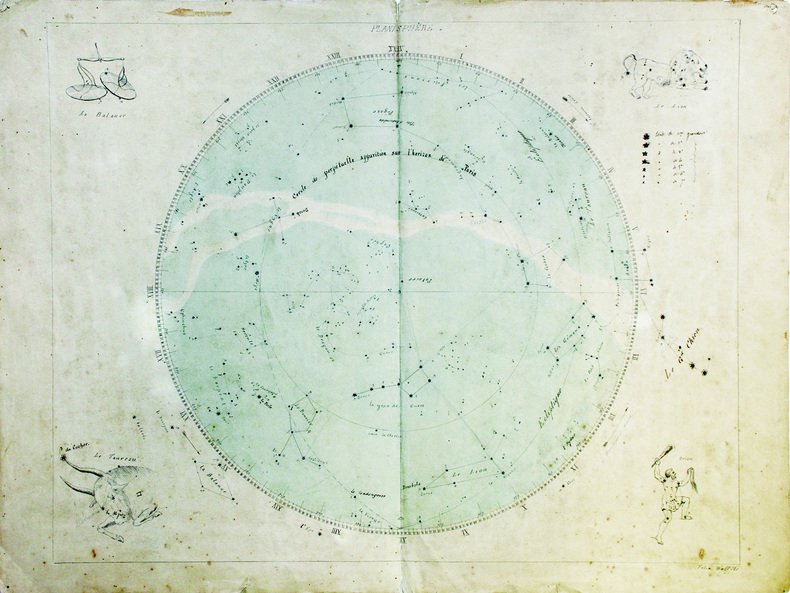
LBW-6627[fin du XVIIIe siècle]. 43,5 x 55 cm, sur une feuille de 48 x 63,5 cm.
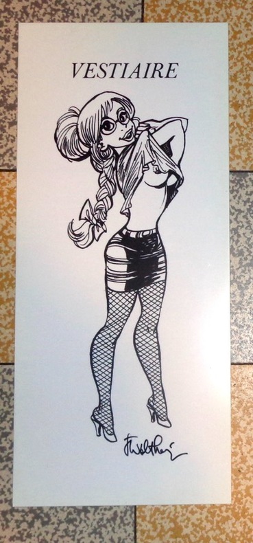
6245[Khani], sans date. Planche sur plastique, parfois annoncée comme "plaque de porte", au format 11 x 25 cm.
Four large loose multi-color folded multi-paneled maps, 81 x 149 cm, and a four-page introductory pamphlet, in original printed envelope 31 x 25 cm. Uncommon. Contents: Sheet 1. Geologic map of the San Francisco-San Jose quadrangle, California, 1:250,000 / compilation by D.L. Wagner, E.J. Bortugno, and R.D. McJunkin -- sheet 2. Geologic map explanation of the San Francisco-San Jose quadrangle, California, 1991 -- sheet 3. Index to geologic maps used in compilation of the San Francisco-San Jose quadrangle, California, 1:250,000 -- sheet 4. Location map of rock samples dated radiometrically, San Francisco-San Jose quadrangle, California, 1:250,000 / compilation by T.A. Lindquist, J.D. Morgenthaler, and E.J. Bortugno. -- sheet 5. Map showing recency of faulting, San Francisco-San Jose quadrangle, California, 1:250,000 / compilation by E.J. Bortugno, R.D. McJunkin, and D.L. Wagner. || Geology -- California -- San Francisco Region -- Maps. Geology -- California -- Maps. Geology, Stratigraphic -- Maps. GÈologie -- …tats-Unis -- Californie (…tats-Unis) -- Cartes. Geology. Geology, Stratigraphic.
Acquaforte e bulino, circa 1690. "In alto al centro lo stemma SPQR sormontato da una corona. Il prototipo iniziale per questo tipologia di panorami è identificabile nel panorama inciso dal Silvestre nel 1642 (si vedano tra l'altro i campanili di San Pietro all'epoca appena costruiti ed immediatamente dopo demoliti per ragioni statiche) e dunque raffigura Roma alla metà del '600. Gli edifici sono poco riconoscibili ed il Tevere segue un errato percorso sotto Trinità dei Monti. La stampa mostra un primo piano con colline ed alberi in controluce senza personaggi, e una legenda di 12 voci. Il nome dell'autore non è scritto sull'incisione ma solo sull'opera che non è stato comunque possibile reperire; non è chiaro neppure se il Wagner sia l'autore o l'editore. Incisa prima del 1694, anno in cui Wagner morì. Secondo alcuni studiosi l'editore potrebbe essere J. Wollf e la data di pubblicazione spostata a circa al 1710" (cfr. Marigliani p. 198). Buono stato di conservazione. Rara. Etching and engraving, circa 1690. In the top centre the SPQR coat of arms surmounted by a crown. The initial prototype for this type of panorama is identifiable in the panorama engraved by Silvestre in 1642 - see among other things the bell towers of St. Peter's that had just been built and immediately afterwards demolished for static reasons - and therefore depicts Rome in the mid 17th century. The buildings are hardly recognisable and the Tiber follows a wrong path under Trinità dei Monti. The print shows a foreground with hills and trees against the light without any characters, and a key-legend of 12 items. The name of the author is not written on the engraving but only on the title page, which could not be found anyway; it is not clear either if Wagner is the author or the publisher. Engraved before 1694, the year Wagner died. According to some scholars the publisher could be J. Wollf and the date of publication moved to around 1710" (cf. Marigliani p. 198). Good state of preservation. Rare. C. Marigliani, "Le Piante di Roma delle collezioni private", tav. 103.
256 pages. Index. Bibliography. Black and white illustrations. "The author's first hand account is one of continous activity with great detail on all the actions fought and sinkings which occured. This is truly an historic book supported by maps, photographs and extensive data with a full index. There is much anecdotal material including an interview with the German submarine commander who sank the Barham and is now a resident of Canada." - from dust jacket. Book practically as new. Dust jacket in beautiful condition and now in archival-grade Brodart protective cover. Its spine is a different shade of green than that of the front and back panels. We do not know if this is by design or the result of sunning. Gift quality. Excellent copy. Book
56 pages. Average wear. Unmarked. Includes maps and much additional helpful information. Book
1935215892Lahore.: Government Printing. Revised Edition. 1935. Four folding colour maps xi 311 pages 26.5 x 18 cms; original papered boards spotted and a trifle scuffed linen backstrip with paper title label worn; foredges and endpapers spotted a few leaves toned but on the whole in very good condition the maps particularly bright and clean. A remarkable association copy: the author Frederick Blyth Wace's copy with his inked initials to the front free endpaper and his humorous unpublished foreword tipped in opposite the preface together with a dedication leaf both in Wace's hand and his business card loose within. As a further dedication makes clear this copy was given by Wace's son a couple of his loose notes on scrap paper are included the eminent botanist Nigel Morritt Wace 1929-2005 late head of the Australian National University's department of Biogeography and Geomorphology in 2003 to his fellow academic and marsupial biologist Dr. Hugh Tyndale-Biscoe. Both Wace and Biscoe were born in India and began their schooling in Kashmir at the school founded by Tyndale-Biscoe's father a Christian missionary and for whom the school is named. <br> <br>From the collection of Hugh Tyndale-Biscoe. . Government Printing. hardcover
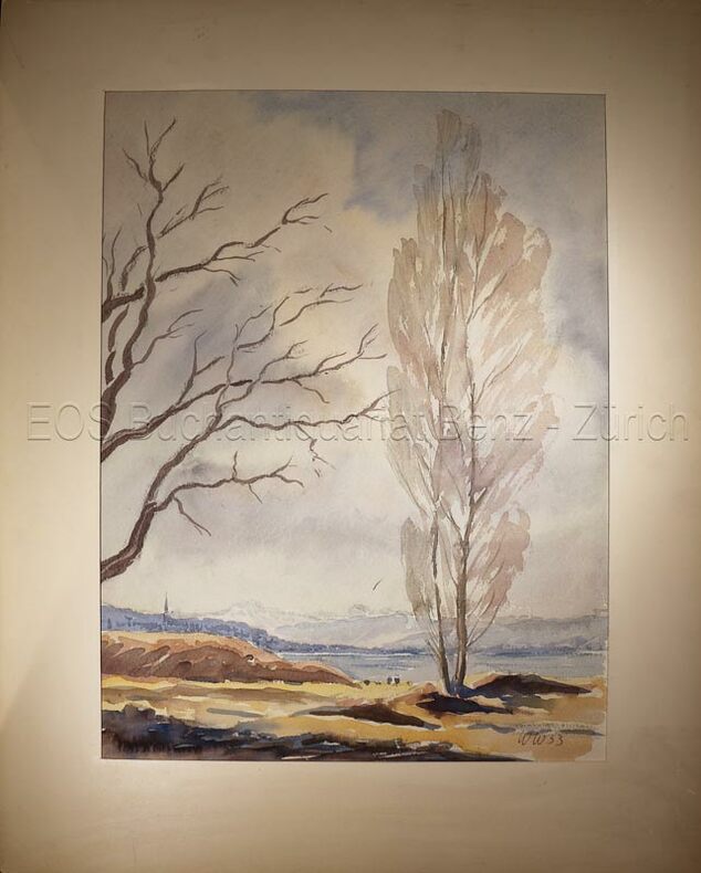
1953634DG1953. Aquarell auf festem Papier. Blattgrösse: 36 x 30 cm.
1953634DG1953. Aquarell auf festem Papier. Blattgrösse: 36 x 30 cm. + Wichtig: Für unsere Kunden in der EU erfolgt der Versand alle 14 Tage verzollt ab Deutschland / Postbank-Konto in Deutschland vorhanden +, bild
No marks or inscriptions. No creasing to covers, single crease to spine. A very clean very tight copy with bright unmarked boards and no bumping to corners. 223pp. The author's journeyings over an area of about twenty miles either side of the border from the Severn Estuary to the Dee and Chester. Illustrated.
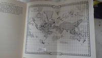
30286<p>HBDJ 1968 EARLY Edition VG/VG- AS-IS Original publisher's blue paper-covered boards pictorial dustjacket large 8vo: xij 108pp. fold-in map in Middle and in back footnotes bibliographical notes. Verynear fine copy.Octavo. 5.5 x 8.5 in. lived to be hundreds of years old and were capable of telepathy astral travel and teleportation.ATLANTIS they became greedy petty and "morally bankrupt" and the gods "became angry because the people had lost their way and turned to immoral pursuits" Orser says. As punishment he says the gods sent "one terrible night of fire and earthquakes" that caused Atlantis to sink into the sea.</p> LONDON, Illinois: Theosophical Publishing House, hardcover
197230289<p>HBDJ 1972 Revised VG-/VG AS-IS Blue cloth lettered in White Interior Nice tight light Wear SOME INK NOTES AND UNDERLINING but has FoX Stains 108 pgs DJ light wear & SCUFFING Extremities DJ 8vo - over 51â„4" - 83â„4" with 2 FOLD OUT Maps</p><p>According to Churchward Lemurians developed homes with transparent roofs lived to be hundreds of years old and were capable of telepathy astral travel and teleportation. ATLANTIS they became greedy petty and "morally bankrupt" and the gods "became angry because the people had lost their way and turned to immoral pursuits" Orser says. As punishment he says the gods sent "one terrible night of fire and earthquakes" that caused Atlantis to sink into the sea.</p> LONDON, Illinois: Theosophical Publishing House, hardcover