YAMASHITA KAZUMASA.Livre Rare Book
11 983 résultats
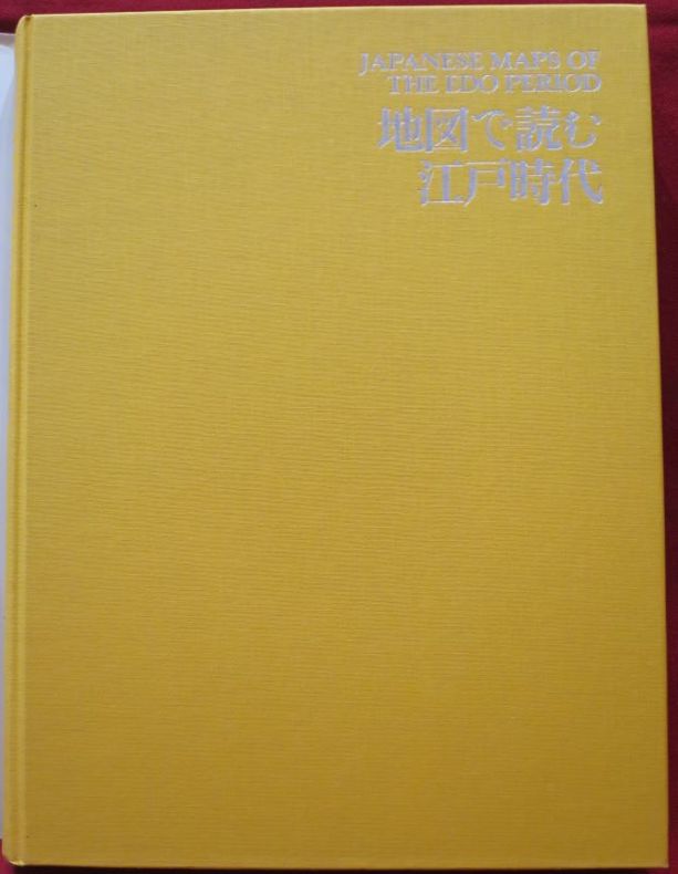
108923Kashiwashobo Publishing Co., Ltd, 1998, 1 volume de in-folio de 310x230 mm environ, 270 pages, reliure pleine toile de l'éditeur sous jaquette illustrée. Contient des illustrations des cartes et des plans en noir et en couleurs. Petits frottements sur le haut du dos de la jaquette sinon bon état. Bilingue. Texte en japonais avec la traduction anglaise en regard.
Appears unread. No marks or inscriptions. No creasing to covers or to spine. A very clean very tight copy with bright unmarked boards, minor traces of storage and no bumping to corners. 304pp. Lonely Planet guide to Hawaii with thirty-five themed itineraries for you to enjoy.
1369947Tel Aviv (Israël): Yaakov Aviel Publisher, 1984 in-4, xvi-72 pages, 49 ill. n/b, 49 ill. coul. Broché. Collection de cartes et de vues topographiques anciennes de la Terre sainte.
CSP-19001981, Rotten Verlag, in 8 carré broché, 86 pages. Reproductions de cartes postales anciennes (1900-1910). Belle couverture illustrée avec copie d'un timbre de 5 centimes. Texte en allemand, français, anglais. 1 carte postale par page, voir photo.
17032,contenant les principaux jeux de cartes et de combinaison ,par une Société d'Amateurs .Aumgmentée d'un traité complet du jeu de l'Ecarté et de l'abrégé du jeu des echecs par Philidor . 1832 . Libr.Fontaine , In 16 relié plein chagrin marron .Dos lisse .Pièce de titre noire .Couvertures conservées .(Rel.mod.) II,178 pp.
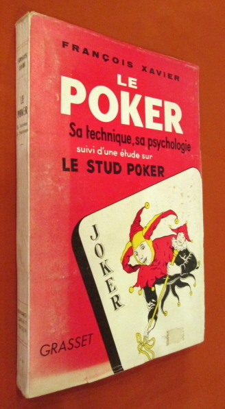
195520362Grasset, 1955. In-8 broché, couverture illustrée, 222 pages, pages non coupées, tableaux, figures. Très bon état de fraicheur.
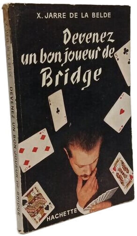
1954100148144Hachette 1954 in12. 1954. Broché. Guide pratique pour apprendre et progresser au bridge publié en 1954 par l'éditeur Hachette. Le livre présente un état d'usage avec une couverture légèrement passée et des pages jaunies par le temps
Von 2 Platten gestochen und zu einer Karte zusammengesetzt. Format (Karte): 58 x 94 cm. Blattgröße: 68 x 100 cm. *Großformatige Karte von Württemberg (auch große Teile von Baden) von zwei Platten gestochen mit dem Gebiet im Westen von Straßburg und Weissenburg im Norden von Mosbach bis Hohenlohe, im Osten bis Dinkelsbühl, Nördlingen und Burgau und im Süden bis zur oberen Donau. - Oben links eine figürliche kol. Kartusche mit Dedikation an Herzog Eberhard Ludwig sowie einer kleinen Gesamtansicht von Stuttgart und dem Porträt von Herzog Eberhard Ludwig. - Oben rechts eine kol. Kartusche mit dem Wappen Württembergs und einer Ansicht von Tübingen. - Die Ränder rechts und links mit je 38 kolorierter Stadtwappen württembergischer Städte. - Mit Kolorit in der Karte ist der Bereich "Comitatus Hohenberg" markiert (aus dem Vorbesitz des Grafen von Hohenberg). Die weißen Außenränder etwas angestaubt und mäßig gebräunt. Bei Interesse können Sie auch den bisherigen Rahmen dazu haben (dieser nur bei Abholung). Landkarten de
16,5 x 12 cm, aufgefaltet: 55 x 64 cm. Auf Leinen aufgezogen, im orig. Kartonschuber mit handschriftl. Deckeltitel. *Karte von Worms bis Idstein (Süd-Nord) und von Bacherach im Westen bis Offenbach im Osten. - Sehr gut erhalten. Landkarten de
187510028Paris, Librairie Hachette, 1875. In-4 de XXVII-454-[2] pages, demi-chagrin marron, dos à 4 nerfs orné de fleurons, filets, encadrements et titre dorés, plats de percaline, gardes moirées. Dos légèrement frotté, rousseurs, un cahier très légèrement déboîté.
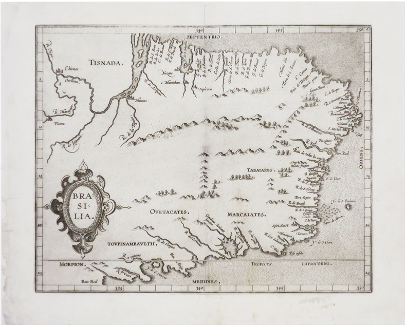
1607LBW-8130[Douai, François Faber, 1607]. 228 x 286 mm.
252 pages. Examines the social and economic aspects of life in St. Edmonds since its beginning. Contains a blend of information from a number of sources including newspapers, scrapbooks, diaries, letters, photos, and other authors' research. Includes a treasure trove of genealogical information. Numerous black-and-white illustrations. Black-and-white photographic endpapers. Other than some hand-written genealogical details hand-written upon the family tree on page 205, book is clean, bright and unmarked with negligible wear. Moderate wear and bit of sunning to colourful dust jacket. Excellent copy overall. Book
8vo., folding coloured map on cloth measuring 31.5 x 22.5 inches (approx. 80 x 57 cms) folding in 20 panels to 7 x 4 inches (approx. 18 x 10 cms); tragically wanting front pasted wrapper (rare wrapper intact), some mild age-soiling else a very good, clean copy. Produced specifically for British military staff; the map is overprinted in red denoting the Positions of British Advancing Columns. RARE.
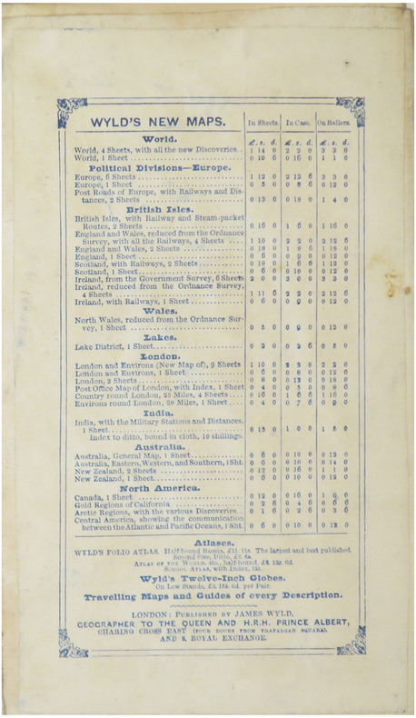
1870LBW-8934London, James Wyld, 1870. En 40 sections montées sur toile et repliées, formant un plan de 0,80 x 1,18 m ; monté dans une reliure de chagrin vert avec étiquette de l'éditeur sur le premier plat ; large étiquette au dos présentant les publications de la maison d'édition.
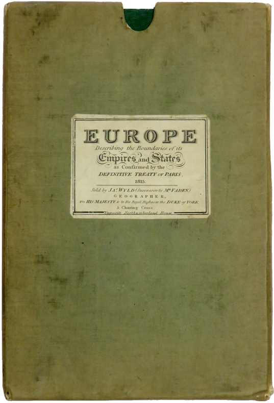
LBW-6415London, James Wyld, Jan. 1st 1829. En 60 sections bordées de soie verte, montées sur toile et pliées, formant une carte de 1,52 x 1,60 m ; plats extérieurs de papier vert ; sous étui recouvert de toile, avec étiquette de l'éditeur portant le titre Europe describing the boundaries of its empires and states as confirmed by the definitive Treaty of Paris, 1815.
Informative vintage guide to Poland for visitors fiinely packed with details of historic places and attractions. Includes :28 itineraries, 61 alternative routes and diversions, 52 schematic plans of towns, 6 diagrams of the regions, 30 diagrams of historical monuments,7 schemes of itineraries, car map of Poland about 8,500 miles of described routes, 877 localities. 439p. index.A pocket inside back cover has an unused folded detachable map of Poland, and also endpaper maps.Enought to deflates Michelin! [6 copies found in WorldCat] Book
14430Collection of 10 German-made WWII-era maps. All printed in German sometimes with foreign translations.<br/><br/>Includes arial bombing maps of Chesterfield Tube Works Great Britain Dec. 1942 showing a geographical arial photograph of the factory area and an overlay of roads bridges and potential targets. The German forces tried to bomb Chesterfield and the railway tracks nearby where the Tube Works produced important cylinders and compressors for the war effort. Instead their bomb fell on a golf course 4 miles away doing no harm. Bears the warning: "Nur fur den Diensfgebrauch" or "For Internal Use Only." 12"x12.5" 2 pg<br/><br/>Also includes a "Map of the Former Czechoslovakia" In German: "Karte der ehemaligen Tschechoslowakei". The German occupation of Czechoslovakia lasted from1938 to 1945 beginning with the Nazi annexation of the northern and western border regions known collectively as the Sudetenland under terms outlined by the Munich Agreement. Hitler's pretext for this effort was the alleged privations suffered by the ethnic German population living in those regions. Czechoslovakia was finally liberated with the Allied Victory in 1945. Map in black and white with red elevations. Bears the large tage at the top: "Sondersausgabe!" or "Special Edition!" Also includes a map of a Czech city which played an important part in World War II History. Situated at the very end of the Sudentenland the borders of the Third Reich were literally on Plzen's outer limits. Occupied by Nazi forces starting in 1939 and divided by the loyalties of its half-German population Plzen was finally liberated with the rest of Czechoslovakia in 1945. The map is written in German with Czech translation of each heading. It has seen substantial use and the key has been cut out of the upper left side. 37"x27"<br/><br/>Koln - German map - Near mint condition. 22x17". Translates to "Cologne" which is a city in Germany.<br/><br/>Umgebung von Wein - German. 44x34"<br/><br/>"Deutschesreich" translates to "German Empire"- western half- 56x42" extra large German map - over outline map - no date<br/><br/>Frankreich - same as German Empire. Shows paris and london. <br/><br/>Italien - same as above.<br/><br/> "Blatt Sudost" Translates to "Southeast Sheet" - Ubersichtskarte translates to "Overview Map" - 56x42". Color. Attractive gold pink and blue. 1:1000000.See photos. no date. Very nice condition on printed side. unknown books
14433Archive of 6 large original World War II Maps these maps were used by US troops during the liberation of Europe. RARE ORIGINAL WORLD WAR TWO VINTAGE ALLIED FORCES EUROPEAN THEATER OF OPERATIONS Czech Republic cities and one Map of Hamburg - German . Comes from a WW2 US Army Soldier. These 6 original maps came from a US soldier that was in European theatre in WWII they are mostly in very good condition and as follows: <br/><br/>Mesto Tepla Czech Republic - size 19x24".<br/>Plzen Czech Republic 4151 - size24x19". Black and white with green overlay. <br/>Horsovsky Tyn Czech Republic 4150 - size24x19"<br/>Kralovice KraloviceCzech Republic 4051 - <br/>Czechoslovakia promotional map dated 1938. a very arge map size 34x22"<br/>Hamburg - German map. size 28x24". dated 1939 in print. <br/><br/>All maps are original and have some folds and wrinkling overall in Good Condition. unknown books
14434Archive of 9 large World War II Maps these maps were used by US troops during the liberation of Europe. RARE ORIGINAL WORLD WAR TWO VINTAGE ALLIED FORCES EUROPEAN THEATER OF OPERATIONS Maps of German cities and one of Paris France. Comes from a WW2 US Army Soldier. These 69 original maps are mostly in very good condition and as follows: <br/><br/>Magdeburg Germany map - US Army Air Map of Magdeburg "First Edition" Sheet M.53 1:250000. 1943. With handwriting in upper right corner. 30x26"<br/>KasselGermany map- US Printed Map of Kassel region of Germany. "Emergency Road Map." Color. First Edition. sheet L52 Based on 1938 map supplemented by other sources collected during the war. 22x28"<br/>Dusseldorf Germany map- same as above but faded and with some highlighting some writing. sheet k52<br/>Hanover Germany map- same as above sheet L53. Printed 1943.<br/>Berlin Germany map- similar to above but "Army/Air" not Emergency Road. Sheet N53. Published by War Office 1943<br/>Halle Germany map- Halle Saale is a city in the southern part of the German state Saxony-Anhal. Sheet M52. "War and Navy Department Agencies only. Not for sale or distribution." 1943. <br/>Wernigerode Germany- town in the district of Harz Saxony-Anhalt German 19x24. Sheet 4130. FIrst Edition. US "Published by War Office 1944." B&W. exposed to water. Hardened. y<br/>Julich Germany- town in the district of Düren in the federal state of North Rhine-Westphalia Germany "Published by War Office 1944." G.S.G.S. No. 4507. 35x30"<br/>Paris France map - 42x34 - U.S. 1944. The Liberation of Paris took place from 19 August 1944 until the German garrison surrendered on 25 August 1944. Paris had been ruled by Nazi Germany since the signing of the Second Compiègne Armistice on 22 June 1940. unknown books
1900LBW-83251900. 605 x 835 mm.
1895LBW-51661895. 852 x 583 mm.
19612080502106910491Not Available 1961. Soft Cover. Fine. The book is in fine condition. Not Available paperback
19302080502106910370Not Available 1930. Soft Cover. Fine. The book is in fine condition. Not Available paperback
19352080502106915465Not Available 1935. Soft Cover. Fine. The book is in fine condition. Not Available paperback
19372306200115Government Printing Office 1937. hardcover. Very Good. 0x0x0. Bound in publisher's cloth. Hardcover. No dust jacket. Good binding and cover. Spine faded. Clean unmarked pages. Includes map in rear pocket. xxvi. 1140 pages. <br> The American Guide Series was a group of books and pamphlets published under the auspices of the Federal Writers' Project FWP a Depression-era works program in the United States. The American Guide Series books were compiled by the FWP but printed by individual states and contained detailed histories of each state with descriptions of every city and town. The format was uniform comprising essays on the state's history and culture descriptions of its major cities automobile tours of important attractions and a portfolio of photographs. Government Printing Office hardcover