1 660 résultats
194962765London & Paris: British European Airways 1949. 4to. 20 pp unpagianted. colour-illustrated maps and red & black text throughout. Self-printed colour-illustrated maps w/ ad for BP Aviation Service and Anglo-Iranian Oil Co. Ltd. on back cover Dunlop tire ad verso of front center crease fold as issued w/ original BEA sleeve from the library of Archibald Angus MacDonald 1892-1977 stepson of famed southern California oil man William F. Byrne as well as oil company and drilling equipment owner and manager of MacDonald & Burns Oil Producers. First edition of this surprisingly scarce BEA route map book issued following World War II and prior to the establishment of the Western US UK and French Zones into the Federal Republic of German and the Soviet Zone into the German Democratic Republic East Germany. In 1946 BEA was established to feed short commuter flights across Europe and until 1950 used a fleet of Douglas DC-3 aircraft based out of Croydon and Northold Airports moving to Heathrow in 1950. No copies in Worldcat. British European Airways, unknown
2003Q-0750654414Butterworth-Heinemann 2003-04-30. Paperback. New. New. In shrink wrap. Looks like an interesting title! Butterworth-Heinemann paperback

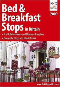
SONG1850554145Brand: Family Holiday Guides 0000-00-00. New Ed. paperback. Used: Good. 5.50x0.75x8.00. Buy with confidence. Excellent Customer Service & Return policy. Brand: Family Holiday Guides paperback
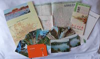
1970223347Beijing. 1970s. Collection of six items. <br> <br>Two postcard sets by the Peking Post Office: <br>北京风光 Bei jing feng guang: 8 postcards. <br>北京风景 Bei jing feng jing: 9 postcards. <br>Both in original envelope 8 x 15cm. <br> <br>Two copies of the large colour folding map "北京游览图 Beijing Youlantu" showing with detailed maps of major tourist destinations and bus routes in Beijing. Text in simplified Chinese characters 73 x 51cm folded 18 x 12.5cm. One in original paper case. <br> <br>A trifold brochure with colour map of Beijing text in English 25 x 12cm. <br> <br>"Visitors Guide to Peking" booklet in stapled wrappers folding maps one at rear and another loosely inserted 43pp 23.5 x 10.5cm. Prepared by members of the Australian Embassy for Australian tourists in Beijing. <br> <br>Some minor wear at extremities overall in very good condition. . unknown
1915015456Antwerpen: Willem Seghers Litho-Grav. 1915. Map. Good. Unframed. First Edition. 120x86cm. A substantial map 120 x 86cm colour printed in two halves and joined on the back. A few edge tears and a few splits to the central folds a couple of splits repaired to the verso with paper tape several light creases. A good copy. Seemingly scarce. Willem Seghers, Litho-Grav. unknown
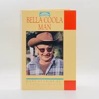
19933611Madeira Park B.C.: Harbour Publishing 1993. First Edition First Printing. Hardcover. pp. 238. Royal 8vo. Cream boards gilt lettering to the spine; map endpapers. Richly illustrated with many black-and-white photographs portraits maps drawings et al. Single neat ink name to upper corner of the ffep else contents remain bright clean and unmarked with tight sound binding; near fine and housed in near fine dustjacket. <br/><br/> Harbour Publishing hardcover
0929591690.Gpaperback. Good. Access codes and supplements are not guaranteed with used items. May be an ex-library book. paperback
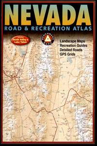
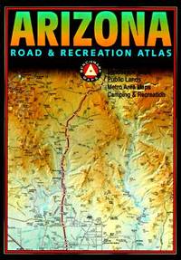
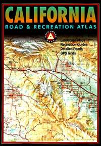
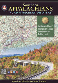
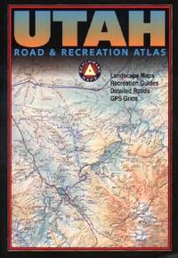
092959195X-7-1Benchmark Maps. 2nd. Acceptable. The item might be beaten up but readable. May contain markings or highlighting as well as stains bent corners or any other major defect but the text is not obscured in any way. Benchmark Maps unknown
092959195X.Gpaperback. Good. Access codes and supplements are not guaranteed with used items. May be an ex-library book. paperback
2002Q-0929591313Rand McNally & Company 2002-04-15. Paperback. New. In shrink wrap. Looks like an interesting title! Rand McNally & Company paperback
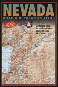
2003Q-092959181XBenchmark Maps 2003-06-01. Paperback. New. In shrink wrap. Looks like an interesting title! Benchmark Maps paperback
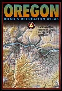
2004Q-092959150xBenchmark Maps 2004-01-01. Paperback. New. In shrink wrap. Looks like an interesting title! Benchmark Maps paperback
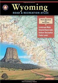
2013Q-0929591976Benchmark Maps Firm 2013-01-01. Paperback. New. In shrink wrap. Looks like an interesting title! Benchmark Maps (Firm) paperback
0929591968.Gpaperback. Good. Access codes and supplements are not guaranteed with used items. May be an ex-library book. paperback
Q-0929591437Map Link. Mass Market Paperback. New. In shrink wrap. Looks like an interesting title! Map Link paperback
20201-1734315008Benchmark Maps 2020. Paperback. New. 143 pages. 15.75x11.00x0.50 inches. Benchmark Maps paperback
2007SONG092959195XNational Geographic 2007-01-17. 2nd. paperback. Used: Good. 10.50x0.25x15.00. Buy with confidence. Excellent Customer Service & Return policy. National Geographic paperback
SONG092959181XBrand: Benchmark Maps 0000-00-00. paperback. Used: Good. 11.00x0.25x15.75. Buy with confidence. Excellent Customer Service & Return policy. Brand: Benchmark Maps paperback
DADAX092959150XBenchmark Maps 0000-00-00. First Edition. paperback. New. 0.25x10.75x15.50. Buy with confidence. Excellent Customer Service & Return policy. Benchmark Maps paperback
2013DADAX0929591496National Geographic 2013-01-01. 9. map. New. 11.00x0.25x15.50. Buy with confidence. Excellent Customer Service & Return policy. National Geographic unknown
2002Q-0929591747Benchmark Maps 2002-06-01. Paperback. New. In shrink wrap. Looks like an interesting title! Benchmark Maps paperback
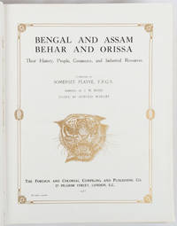
1917214418London and New York.: The Foreign and Colonial Compiling and Publishing Co. 1917. Numerous black and white photographic illustrations. 768pp. Full red morocco binding spine lettered and ruled in gilt in compartments 'Tiger head' emblematical device stamped in gilt on the upper board repeated in gilt on the title page corner ornaments blocked in gilt. All edges gilt marbled endpapers light rubbing to corners but a lavishly produced edition in exceptional condition. 30 x 23.5cm One of a series of publications published with the object of supplying the British public with a picture - complete as far as literary and pictorial effort could make it - of the several different parts of the Empire. in this instance Northern India. . The Foreign and Colonial Compiling and Publishing Co. unknown
0404IPI89DJHardcover. Very Good. Very good red cloth flexi boards Karl Baedeker Leipzig 1923 . Small 8vo. Sixth Edition with a folding double-page map as frontispiece a double-page coloured map 9 folding coloured maps one large map poorly folded but without loss 13 folding plans and numerous plans in the text series catalogue and small contemporary signature on front endpapers rear endpaper map; original grained red cloth upper board lettered in gilt gilt back marbled edges silk marker. Binding remarkably good brief edgewear only. hardcover
1845876369.Gmap. Good. Access codes and supplements are not guaranteed with used items. May be an ex-library book. unknown
1390716589.Gpaperback. Good. Access codes and supplements are not guaranteed with used items. May be an ex-library book. paperback