CollectifLivre Rare Book
11 981 résultats
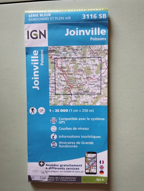
2017500238193IGN Institut Geographique National 2017 1 pages 11 2x24 2x1 2cm. 2017. map. 1 pages.
101163aafSeidel & Sohn, Wien, 1905. in-4to, ATLAS: 2 Bl. (Titel - Verzeichniss) + 42 gef. Karten. Tafel I-XXXVIII + 1 gef. Übersichts-Blatt, (incl. Tafel XV (Südwestl. Theil - in der Série gezählt) + Tafel XV - Nordostl. Theil + Tafel XV - Südostl. Theil + Tafel XV - Nordwestl, Theil. / TEXTBAND.: XXIV + 718 S., Tafeln in original Halbleinen Kartenmappe / O.-Halbleder mit Ecken.
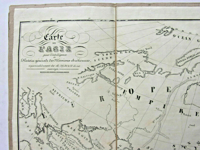
CZC-9246Carte de l'Europe indiquant les positions des royaumes barbares au 5e siècle - Carte de l'Asie - Carte de l'Empire Romain depuis Constantin jusqu’à la fin du 4e siècle - Carte de l'Allemagne et des contrées. Très bon état, format 50x40cm, imprimé vers 1810/20. ref/10
CZC-9246Carte de l'Europe indiquant les positions des royaumes barbares au 5e siècle - Carte de l'Asie - Carte de l'Empire Romain depuis Constantin jusqu’à la fin du 4e siècle - Carte de l'Allemagne et des contrées. Très bon état, format 50x40cm, imprimé vers 1810/20. ref/10
189349113ABBerlin, Dietrich Reimer, (1893). Ca. 75 x 57 cm. 4 Farblithografien, gefaltet. Zusammen lose in HLn.-Band der Zeit mit aufkaschiertem Deckeltitel, ko (etwas angeschmutzt und fleckig).
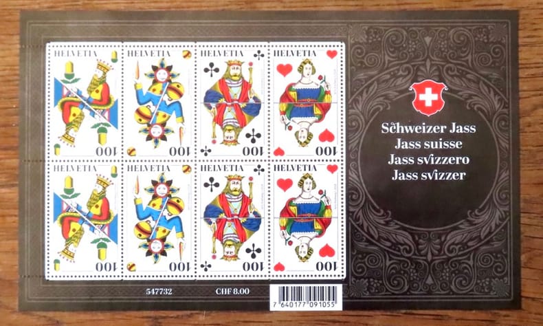
235064 feuilles totalisant 34 timbres à 1.-
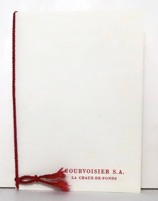
195716628La Chaux-de-Fonds, Courvoisier, 1957. Ravissante petite plaquette de 4 pages et 2 serpentes, brochée sur cordon et au coeur de laquelle se nichent 4 timbres (non obliétérés) de 1957.
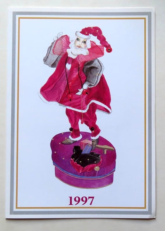
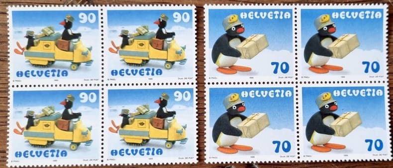
199718504Berne, PTT, 1997. Carte de voeux de la Poste suisse, comprenant 4 timbres-poste (valeur 70 + 90 centimes suisses + 1,10 + 1,80 francs suisses). Oblitération du jour d'émission (10.09.1996).
R320088981SEPTELLE SARL. NON DATE. In-12. En feuillets. Bon état, Couv. convenable, Dos satisfaisant, Intérieur frais. 5 cartes postales couleur vierges identiques.. . . . Classification Dewey : 741.68-Illustrations des cartes postales
SEPTELLE SARL. NON DATE. In-12 Carré. En feuillets. Bon état. Couv. convenable. Dos satisfaisant. Intérieur frais. 5 cartes postales couleur vierges identiques.
22842Fondation Kokoschka. 5 cartes postales, détachables.
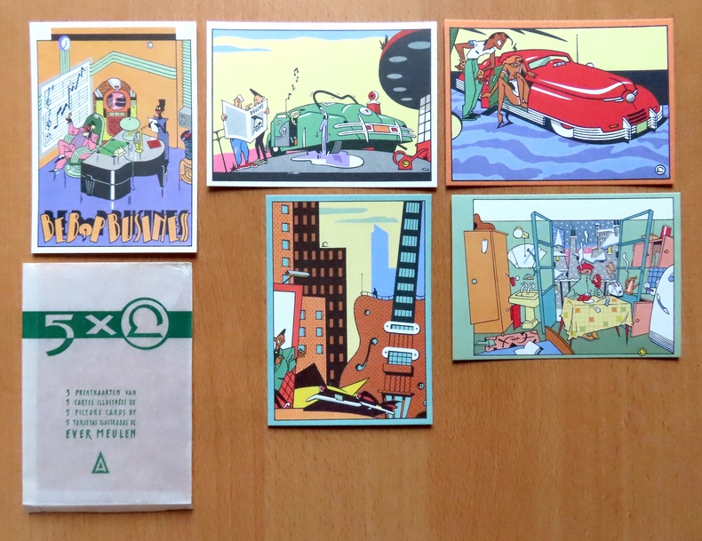
26391Brussel/Bruxelles Plaizier. Ensemble de 5 cartes postales du génial dessinateur, au format 10.5 x 15 cm, sous enveloppe de pergamine imprimée - l'enveloppe comporte des plis en bords, les cartes sont à l'état de neuf.
2003100110607Du Rocher 2003 135 pages 13x2x20cm. 2003. Broché. 6 volume(s). 135 pages. 50 exercices de bridge : édition adaptée à la nouvelle super majeure 5e + La super majeure cinquième + Super memento de compétition + mémento de compétition + Le nouveau memento + Jeu de la couleur au bridge (Alexandre Vraca)
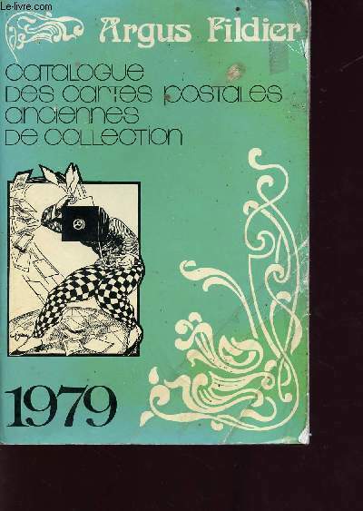
1979R160211578Fildier Cartophile. 1979. In-8. Broché. Etat d'usage, Couv. convenable, Dos satisfaisant, Intérieur acceptable. 288 pages - quelques photos en noir et blanc dans le texte. . . . Classification Dewey : 741.68-Illustrations des cartes postales
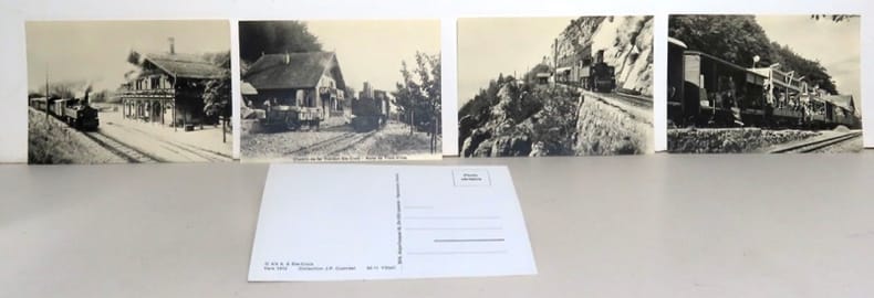
19927Lausanne, BVA, sans date. 6 cartes postales (non écrites, non envoyées).
201723501Berne, 2017. Feuille de 6 timbres de 1.-, en forme de coeur.
Landell, Nils-ErikJacket not in perfect condition but book is in pristine condition. unknown
Très bel état. Sur une des photos on voit un pope prier, très nombreuses potences avec soldats et civils.
9782845235813Hergé Moulinsart. | Etat : Neuf (Ref.: Ref98929)
199924691PTT, 1999. Valeur totale 6,40 francs suisses.
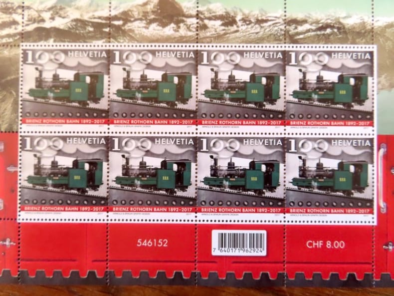
202523504Berne, 2025. Feuille de 8 timbres de 1.-
198952876(Hamburg, 1989). Mehrfach gefalt. farbiger Hafenplan (o. Maßstabangabe.). Blattgröße 49,5 x 69 cm, verso Anschluß Hafenplan (32 x 45 cm), Plan der Innenstadt, Übersichtskarte Hamburg u. Umgebung sowie Schnellbahnnetz. Mit 35 TextS., darin einige Abb. Deckelmaß 18 cm. OBrosch.
19501749Vichy France: Société des Cartes Folkloriques de France 1950. Wraps. Near fine. R. MARGOTTON. FRENCH LANGUAGE POSTCARDS FASHION / TRADITIONAL DRESS. R. MARGOTTON illustrator. <br /> 6 1/8" x 4 1/8" ; 84 cards numbered; half-bound tweed cloth folder with ties marbled paper over board color paper label to front folder; 3 black cloth folder ties; hand-colored wood-engraved cards verso is a divided back postcard with labeling and numbering within the series and four printed lines on which to write an address; light age-toning of edges; near fine. OCLC locates 3 copies all in the U.S. The art on the post cards is signed R. Margotton and it is possible this was Rene Margotton 1915-2009 although by the early 1950s he was a major French painter and one of the cubists from the early part of the 20th century. The laid-in form in the rear pocket is a listing of the cards by area. Société des Cartes Folkloriques de France unknown
14434Archive of 9 large World War II Maps these maps were used by US troops during the liberation of Europe. RARE ORIGINAL WORLD WAR TWO VINTAGE ALLIED FORCES EUROPEAN THEATER OF OPERATIONS Maps of German cities and one of Paris France. Comes from a WW2 US Army Soldier. These 69 original maps are mostly in very good condition and as follows: <br/><br/>Magdeburg Germany map - US Army Air Map of Magdeburg "First Edition" Sheet M.53 1:250000. 1943. With handwriting in upper right corner. 30x26"<br/>KasselGermany map- US Printed Map of Kassel region of Germany. "Emergency Road Map." Color. First Edition. sheet L52 Based on 1938 map supplemented by other sources collected during the war. 22x28"<br/>Dusseldorf Germany map- same as above but faded and with some highlighting some writing. sheet k52<br/>Hanover Germany map- same as above sheet L53. Printed 1943.<br/>Berlin Germany map- similar to above but "Army/Air" not Emergency Road. Sheet N53. Published by War Office 1943<br/>Halle Germany map- Halle Saale is a city in the southern part of the German state Saxony-Anhal. Sheet M52. "War and Navy Department Agencies only. Not for sale or distribution." 1943. <br/>Wernigerode Germany- town in the district of Harz Saxony-Anhalt German 19x24. Sheet 4130. FIrst Edition. US "Published by War Office 1944." B&W. exposed to water. Hardened. y<br/>Julich Germany- town in the district of Düren in the federal state of North Rhine-Westphalia Germany "Published by War Office 1944." G.S.G.S. No. 4507. 35x30"<br/>Paris France map - 42x34 - U.S. 1944. The Liberation of Paris took place from 19 August 1944 until the German garrison surrendered on 25 August 1944. Paris had been ruled by Nazi Germany since the signing of the Second Compiègne Armistice on 22 June 1940. unknown books
36728Paris, Editions G.P./Pélican, 1986. 13 x 19, 189 pp., très nombreuses illustrations en couleurs, cartonnage d'édition imprimé, bon état.