CHANLAIRE (Pierre-Grégoire) & MENTELLE (Edmé).Livre Rare Book
11 973 résultats
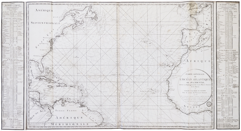
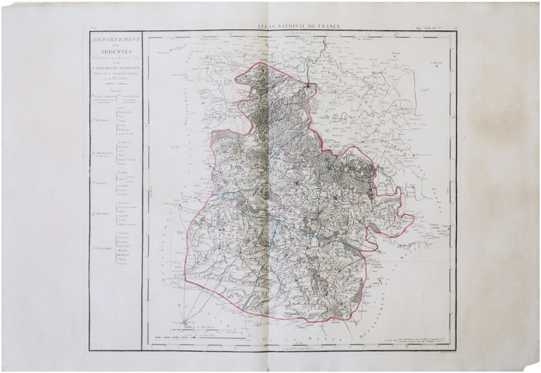
1806LBW-7884Paris, P.G. Chanlaire et Veuve Dumez, [1806]. 507 x 574 mm.
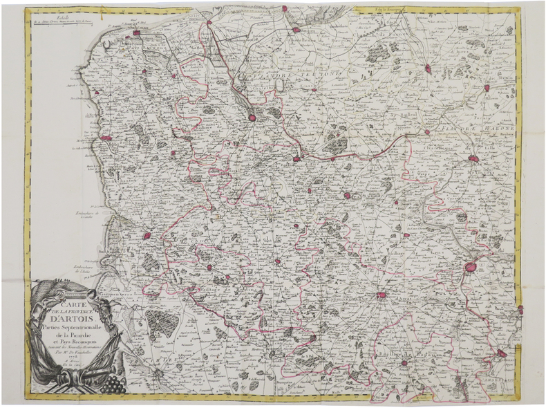
1778LBW-8442Arras, En la Cité, 1778. 540 x 659 mm ; repliée sous couverture cartonnée recouverte de papier bleu de l'époque (202 x 130 mm) ; étiquette sur le premier plat portant le titre manuscrit à l'encre.
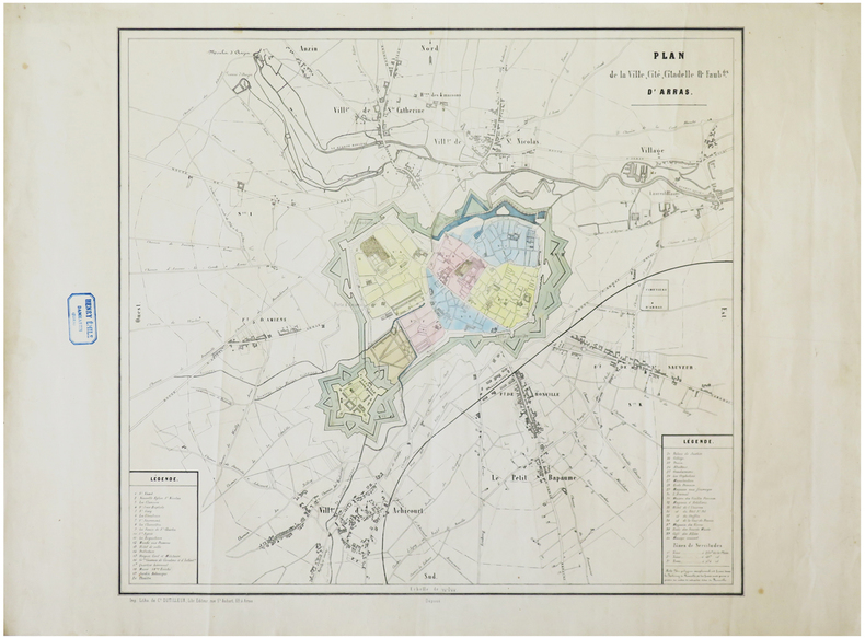
1842LBW-6282Arras, C.t Dutilleux, [1842]. 475 x 512 mm.
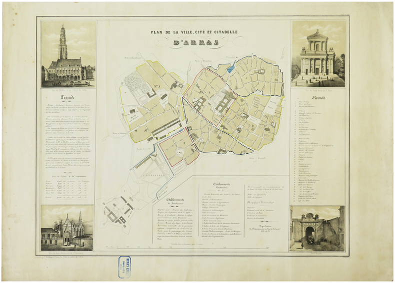
1849LBW-6268Arras, C.t Dutilleux, [1849]. 455 x 590 mm.
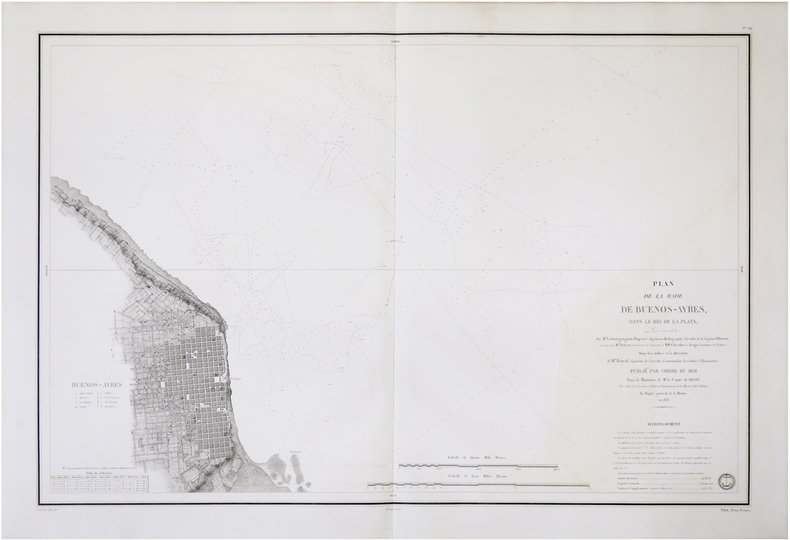
1833LBW-8751[Paris], Dépôt-Général de la Marine, 1833. 598 x 887 mm.
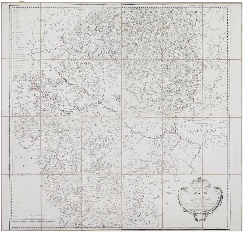
1765LBW-8661Madrid, 1765. En 24 sections montées sur toile et repliées, formant une carte de 805 x 832 mm ; étiquette de l'éditeur parisien Charles Picquet au dos, onglet de vélin numéroté en manuscrit.
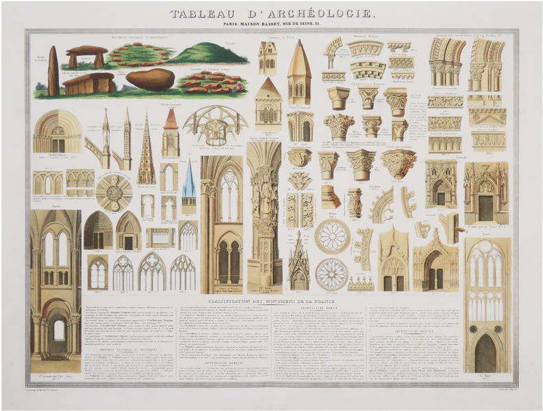
1851LBW-8435Paris, Maison Basset, [1851]. 493 x 632 mm.
1875LBW-8229Château-Gontier, 1875. In-folio ; demi-basane verte, dos lisse muet, étiquette de titre sur le premier plat (reliure de l'époque).
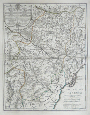
LBW06191Paris J.B. Nolin circa 1705 550 x 430 mm.
1741LBW-6681Arras, Barbier, 1741. En quatre feuilles jointes formant une carte de 97,3 x 119,6 cm.
1896LBW-2879London, Edward Stanford, [1896]. 660 x 500 mm.
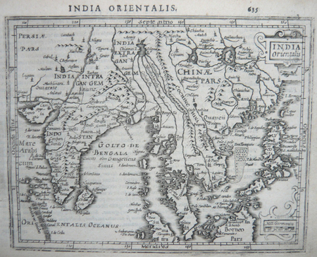
1634LBW061edParis 1634 104 x 153 mm.
1718LBW-4898[Amsterdam, 1718]. 204 x 620 mm.
1809LBW-8217[Paris, Imprimerie Impériale, 1809]. 680 x 687 mm.
1833LBW-5637Paris, Dépôt-Général de la Marine, 1833-1890. 598 x 895 mm.
LBW-7435[milieu du XIXe siècle]. 44 x 55 cm.
1610LBW06147[Dordrecht, Adrianus Bottius, 1610]. 150 x 184 mm.
1786LBW-62951786-1792. 0,61 x 1,15 m.
LBW045fdcirca 1690 128 x 200 mm.
Fine Turkish, Ottoman (1500-1928) Modern light brown cloth bdg. gilt lettering on the front board. [1], 99 p., 36 numbered maps printed in black and red ink, 5 numbered folded plates. A fine copy. First and only edition of this extremely rare atlas in user guide form including the instructions and descriptions of the routes of vessels by an advisor of the British naval officer and German prince related to the British royal family, Prince Louis Alexander of Battenberg (1854-1921), who was the first Marquess of Milford Haven, commanded the Atlantic Fleet from 1908 to 1910 and became first sea lord in 1912. This book was translated by Nusret, who was a lieutenant in the Ottoman Naval Forces in its period and prepared only for use of Turkish naval officers. The plates include the maneuver plate of an officer named "Martin", who is not able to be recognized. Every map and plate depending on the current position of the ship has its own descriptive text. Özege 12270.; Not in OCLC and Library Hub.
Atlas. 47 large color folding maps. XLib. A few maps have XLib stamps in margins, otherwise maps very clean. Large folio. Spiral bound. Original stiff printed wraps, some wear. WWII 2
LBW-7434[début du XIXe siècle]. 34,5 x 49 cm.
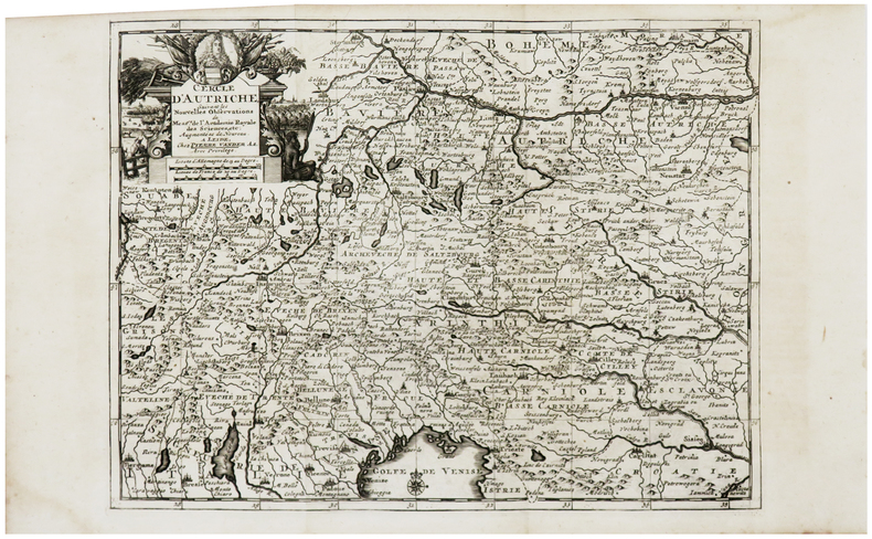
1729LBW-6229Leide, Pierre Vander Aa, [1729]. 224 x 297 mm.
1895LBW-5161[1895]. 155 x 227 mm.