Wyld, JamesAntiquariat.de

338 résultats
187512639Wyld, London ca. 1875. Original hand-colour in block and outline, marking postal districts and railways in bold red. 21 segments, folded and linen-backed with marbled paper to folded end segments. Size 57x73, overall 59,5x77 cm. A bit tanned, verso a bit rubbed and stained.
1840GT692London: Longman Rees Orme. 1840. 1st issue . Cloth. Vg. Folding map. WALKERS COUNTY MAP SERIES. nd C1840. Origina green boards with the original label with an attractive border. Folding map of Wiltshire laid on linen and folded into 15 sections. Out-line hand-colour coloured woods and railway lines. An attractive travellers map in a v.g. condition. 41 x 34cms.Parliamentary divisions updated in 1830. Please email for photos. <br/> <br/> Longman Rees Orme. hardcover
1823Map926London: Robt. Wilkinson 1823. 1st Edition . Hardback. Vg. Folio. 52 coloured plates - 45 maps 7 chrono-geological charts 7 maps double-page. Orignal boards and spine. Fine contents with hand-coloured maps thoughout. Rubbed and worn boards but a sound binding needing new paper covering pasted to the boards.The fine map plates are dated between 1800 and 1823 <br/> <br/> Robt. Wilkinson hardcover
1860KART0040Weimar, Geograph. Inst. o. J. (ca 1860). Grenzkol. Stahlst., mit Erläut. u. Glossar, 51 x 62 cm. Breitrand. Mittelfaltung. Mit hinterlegten Randläs. Im w. Rand leichte Benutzunsspuren. Im Kartenbild einige Fingerfl. Rücks. leicht verstaubt mit wenigen kl. Braunspuren. Insges. sehr guter Zustand. Die Karte umfasst das Gebiet vom Meerbusen von Mexico, der Karibik bis zum Beginn von Ecuador.
1804Map934Paternoster Row London: Longman Hurst Rees & Orme 1804. 1st Edition 1st Printing. No Binding. Fine. Original early 19th century map CHART OF THE PACIFIC WEST INDIES BY AARON ARROWSMITH. A FINE CLEAN AND DARK IMPRESSION. Original folding plate including Honduras Watermarked paper 1804. A scarce example and in fine un-coloured original condition.41x27cms. Double-page. <br/> <br/> Longman, Hurst, Rees & Orme unknown
1873160611Stuttgart, Metzler`sche Buchh. 1873. Fol. 11 (teils farb.) doppelblattgr. Taf. 14 S. Text. OHlwd. Einbd. angeschmutzt u. leicht angerissen sowie m. Sign. Vors. etwas stockfl., m. kl. Anriss an Bind. u. kl. Sign. Teils etwas randgebräunt. St. u. Sign. a. Tit.
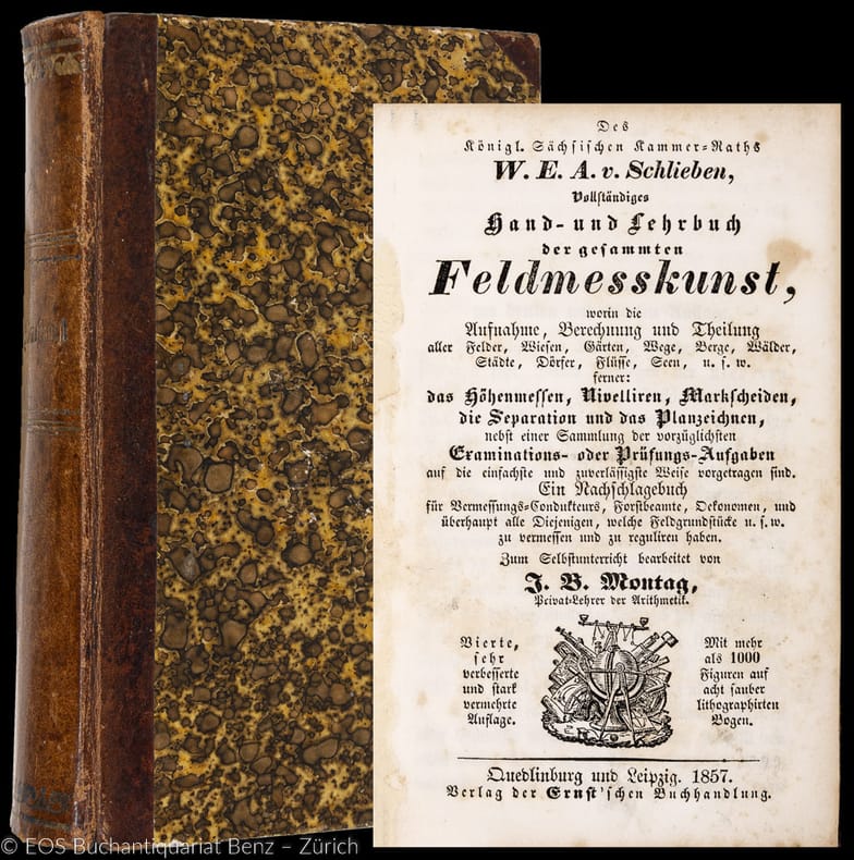
185731209ABQuedlinburg, Ernst, 1857. 8°. XVI, 464 S. Mit 8 gef. Tafeln. Halblederband der Zeit. + Wichtig: Für unsere Kunden in der EU erfolgt der Versand alle 14 Tage verzollt ab Deutschland / Postbank-Konto in Deutschland vorhanden +, A 4., sehr verb. u. stark verm. Aufl.
185731209AB4., sehr verb. u. stark verm. Aufl. Quedlinburg, Ernst, 1857. 8°. XVI, 464 S. Mit 8 gef. Tafeln. Halblederband der Zeit.
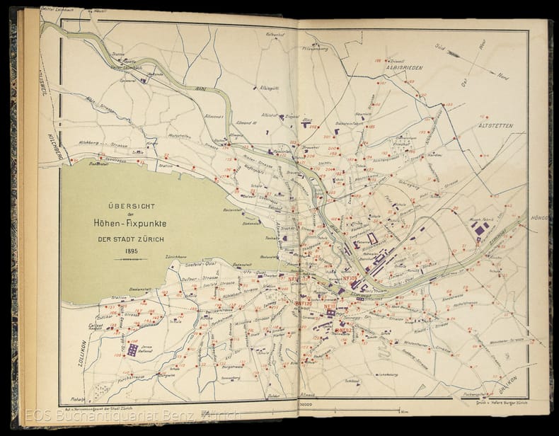
18954834DBZürich, Museumsgesellschaft Zürich, 1895. 8°. 166 S., mit vielen ganzseitigen Abbildungen. Halbleinenband mit handschriftlichem Bibliotheks-Rückenschild.
18954834DBZürich, Museumsgesellschaft Zürich, 1895. 8°. 166 S., mit vielen ganzseitigen Abbildungen. Halbleinenband mit handschriftlichem Bibliotheks-Rückenschild. + Wichtig: Für unsere Kunden in der EU erfolgt der Versand alle 14 Tage verzollt ab Deutschland / Postbank-Konto in Deutschland vorhanden +, 4834DB|4834DB_2 [2 Warenabbildungen]
1889220319Berlin, Reimer, 1889-94. 4°. M. gef. Ktn. u. Taf. OU. beschmutzt.
1898120560Halle, Engelmann, 1898. S. 447-470. Hlwd. Einbd. angeschmutzt, m. Sign. u. St.Vors. u. Tit. m. St. (Nova acta Leop. 71/9).
1816Map685Edinburgh: John Thomson 1816. 1st Edition . No Binding. Fine. Original hand-colour fine scarce unfolded copy minor damp stain 510 X 610 From John Thomsons New General Atlas 1817 beautifully hand-coloured on thick paper <br/> <br/> John Thomson unknown
1805Map935Paternoster Row London: Longman Hurst Rees & Orme 1805. 1st Edition 1st Printing. No Binding. Fine. Original early 19th century map MAP OF THE EASTERN COAST AND LANDS OF THE UNITED STATES BY AARON ARROWSMITH. A FINE CLEAN AND DARK IMPRESSION. Original folding plate covering North Florida to Lower Canada Watermarked heavy paper 1804. A scarce example and in fine un-coloured original condition.41x27cms. Double-page. <br/> <br/> Longman, Hurst, Rees & Orme unknown
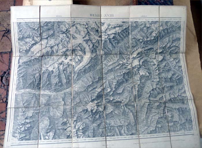
185413817sans lieu Lanée successeur de Loguet 1854 1 Une carte de la région des Grisons en Suisse de 62x75 cm.
1830G121164s.l., s.d. [ca. 1830's] Atlas seul (donc sans les deux volumes de texte) : Page de titre + [4]pp. (liste des planches) + 18 planches gravées de plans en double-page (quelques légères rousseurs sur quelques planches), 35x27cm., reliure cart. d'époque plats marbrés, dos en cuir rouge avec titre et faux-nerfs dorés, bon état, [Liste des planches : 1: Marche de front de Freimersheim à Freischbach, 2: Marche de flanc, de Herxheim à Minfeld, 3: Attaque des lignes de Mayence, 4: Champ de bataille de Fontenoy, 5: Champ de bataille de Hochkirch, 6: Bataille d'Ocana, 7: Bataille de Wagram, 8: Inconvénients des manoeuvres tournantes, 9: Bataille de Craone, 10: Bataille de Toulouse, 11: Bataille de Neerwinden, 12: Bataille d'Austerlitz, 13: Bataille de Rioseco, 14: Bataille d'Almoacid, 15: Battaile de Montmirail, 16: Bataille de Dresde, 17: Bataille de La Rothière, 18: Bataille de Lutzen], poids: 1kg., G121164
189129428ABWinterthur, Zürich, Topogr. Anstalt von Wurster, Randegger & Cie., Commissions Verlag J. Wurster & Cie, 1891. 55 x 63 cm. Gef. chromolith. Karte zwischen Pappdeckeln + Wichtig: Für unsere Kunden in der EU erfolgt der Versand alle 14 Tage verzollt ab Deutschland / Postbank-Konto in Deutschland vorhanden + (berieben und bestossen).
189129428ABWinterthur, Zürich, Topogr. Anstalt von Wurster, Randegger & Cie., Commissions Verlag J. Wurster & Cie, 1891. 55 x 63 cm. Gef. chromolith. Karte zwischen Pappdeckeln (berieben und bestossen).
1842Map 806Edinburgh: A&C Black 1842. No Binding. Fine/uncoloured. World map with Australia at the middle 140 degrees. Beautiful steel engraving from Encyclopaedia Britanica Seventh edition dated 1842. Plate CCLXIII. Fine example with no wear. Australia is named 'Australia and New Holland'. 410x260mm. Relief is shown by hachures. Engraved by S. Hall Bury Strt. Bloomsbury. Published by A. & C. Black. Engd. by G. Aikman Edinr. <br/> <br/> A&C Black unknown
1807Map942Paternoster Row London: Longman Hurst Rees & Orme 1807. 1st Edition 1st Printing. No Binding. Fine. Original early 19th century MAP OF THE WORLD On MERCATORS PROJECTION BY AARON ARROWSMITH. A FINE CLEAN AND DARK IMPRESSION. Original folding plate covering THE WHOLE WORLD printed on heavy paper dated 1807. A scarce example and in fine un-coloured original condition. 41x27cms. Double-page folding map.Engraved by Lodge.A LOVELY COPY <br/> <br/> Longman, Hurst, Rees & Orme unknown
1885MH045London: Blackie & Son 1885. 1st Edition . Hardcover. Fine. small 4to. Volume One only of two. cxiv 468pp. Original half calf with raised bands and dec. compartments. Green morocco label with titles in gilt. Original pub. half calf binding bound by Blackie of an interesting and well illustrated view of the world in the late Victorian period. 9 maps 16 plates <br/> <br/> Blackie & Son hardcover
1842Map 805Edinburgh: A&C Black 1842. No Binding. Fine/uncoloured. Folding plate of the two hemispheres. Beautiful steel engraving from Encyclopaedia Britanica Seventh edition dated 1842. Plate CCLXII. Fine example with no wear. Couple of small fox marks. Engraved by S. Hall Bury Str. Bloomsbury. Australia is named 'Australia and New Holland'. 400x280mm. <br/> <br/> A&C Black unknown
1806Map943Paternoster Row London: Longman Hurst Rees & Orme 1806. 1st Edition 1st Printing. No Binding. Fine. Original early 19th century MAP OF THE WORLD On MERCATORS PROJECTION BY AARON ARROWSMITH. A FINE CLEAN AND DARK IMPRESSION. Original folding plate covering THE WORLD printed on heavy paper dated 1807. A scarce example and in fine un-coloured original condition. 41x27cms. Double-page folding map.A NICE COPY <br/> <br/> Longman, Hurst, Rees & Orme unknown
1807Map949Paternoster Row London: Longman Hurst Rees & Orme 1807. 1st Edition 1st Printing. No Binding. Fine. Folio - over 12 - 15" tall. Original early 19th century uncoloured MAP OF THE SEVEN UNITED PROVINCES BY AARON ARROWSMITH. A FINE CLEAN AND DARK IMPRESSION. Original folding plate covering HOLLAND printed on heavy paper dated 1807. A scarce example and in fine un-coloured original condition. An occasional light foxing mark. 41x27cms. Double-page folding map. engraved by COOPER.A LOVELY COPY. paper watermark dated 1808 <br/> <br/> Longman, Hurst, Rees & Orme unknown
1875Pa620London: William Blackwood 1875. New Edition . Hardback. Fine. Elephant Folio - over 15" - 23" tall. 20 x 135 inches. 48 double page folding colour maps and the North Polar Chart as a frontis. Fine original red half calf binding with gilt titles. Specail; index after each map. The fourth edition with each map updated to reflect the ever changing speed of the changes taking place in the industrail age. Dedication page to Queen Victoria. Each map as an adjacent index bound in and a prospectus for the companion book to the atlas is bound in at the front Atlas Geographicus' pub. separately. A complete and fine copy <br/> <br/> William Blackwood hardcover