Vandermaelen, Philippe Marie Guillaume :Livre Rare Book
338 résultats
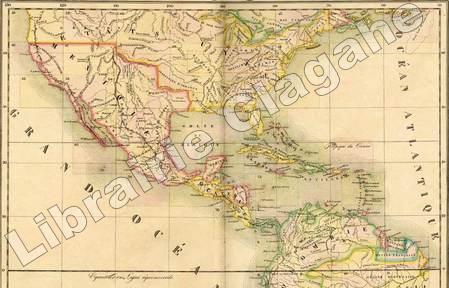
18279452Bruxelles, PMG Vandermaelen éditeur, 1827 ; cinq tomes (Europe, Asie, Afrique, Amérique Septentrionale, Amérique Méridionale), in-folio atlantique (52,5 x 36 cm) ; demi-veau havane à petits coins verts, dos à faux-nerfs dorés, palette décorative dorée en tête et en pied, titre doré, tranches marbrées (reliure uniforme de l'époque) ; 1- Europe : (4), 43 pp., (1) p., tableau comparatif des principales hauteurs du globe (illustré en couleurs), carte d'assemblage de l'Europe et 29 cartes doubles. 2- Asie : (6) pp., carte d'assemblage de l'Asie et 111 cartes doubles. 3- Afrique : (4) pp., tableau d'assemblage de l'Afrique et 60 cartes doubles. 4- Amérique Septentrionale : (4), tableau d'assemblage et tableau provisoire d'assemblage d'une partie de l'Amérique Seple et d'une partie de l'Amérique Méridionale et 77 cartes doubles. 5- Amérique Méridionale : (4), carte d'assemblage d'Amérique Méridionale et 44 cartes doubles. Toutes les cartes sont en couleurs à quelques rares exceptions près et montées sur onglets.
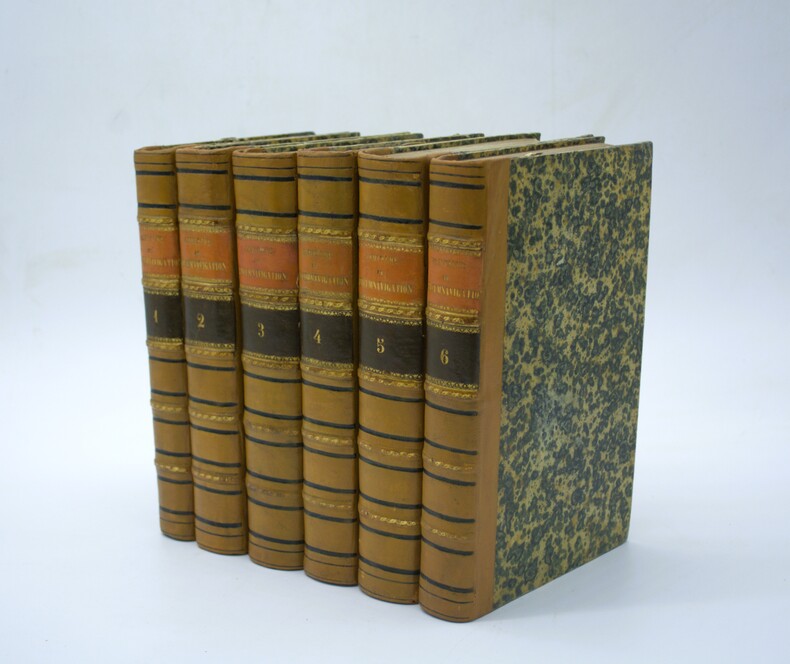
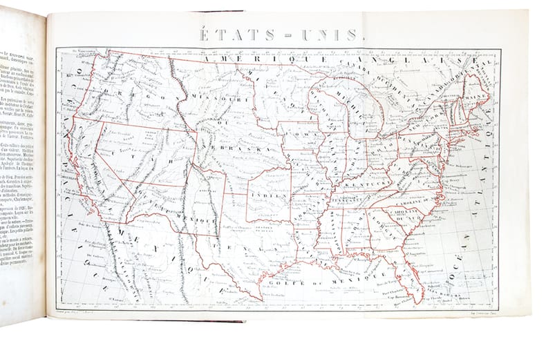
1841PHO-2262Paris, Arthus Bertrand, 1841-1842-1844-1848-1853-1854. 6 vol. in-8° de XXIX, 1 bl., 343 pp., [2] ff., Front., 6 pl. h.-t. et 1 carte dé pl. ; 467 pp., [2] ff. Font., 4 pl. h.-t. et 1 carte ; 548 pp., [1] f. Front. et 5 pl. h.-t. ; 464 pp., [2] ff. 4 pl. h.-t. ; III, 1 bl., 542, [2] pp. 4 pl. h.-t. ; 400 pp. Font. et 5 pl. h.-t. demi-basane fauve, dos à 5 faux-nerfs, p ; de t. en maroquin orange, p. de tomaison en maroquin brun, tranches mouchetées (Reliure du temps). Édition originale, bien complète du sixième volume consacré à la Californie qui manque souvent. 31 pl. gravées sur acier (complet) et 2 cartes dépliante, au Tome IV, la pl. du « Fort de Cornouailles » est reliée en frontispice du tome VI. Des rousseurs et quelques planches brunies.
1834Map893London: Greenwood 13 Regent Street Pall Mall 1834. 1st Edition . Hardback. Fine. Elephant Folio - over 15" - 23" tall. A fine large ATLAS with 44 of 46 lacking Suffolk and lacking Norfolk double page maps bound with central hinges. Clean paper with little off-setting foxing tanning or marks. Decorative double page engraved maps of the counties with an uncoloured vignette views. Fine elegant engraved titles Original hand-colour block and outline. 65 x 80.5 cms 25 1/2 x 31 3/4 inches printed on thick paper with wide clean and fine margins. Printed July 4th 1829 and published in the C& J Greenwoods "Atlas of The Counties of England" dated 1834. SPINE LACKING AND THE BOARDS DETACHED. PLEASE EMAIL FOR PHOTOS. <br/> <br/> Greenwood, 13 Regent Street, Pall Mall hardcover
1860PHO-2406Paris, Librairie de L. Hachette et Cie, 1860-65. 2 volumes de texte in-8 (235 x 148 mm) de : I/ lxiv pp., 486 pp., (1) f. d’errata ; II/ (2) ff., 480 pp., iv pp. de table ; et 1 Atlas in-folio (57x40cm). Texte : relié demi veau, dos lisse avec titre et tomaison, dos frotté, coiffes arasés, charnières faibles au tome 2, cachets aux titres. Atlas : sous portefeuille demi toile, titre et tomaison au plat, 2 chemises de livraison comportant 13 planches (16) et 2 planches en double (Fragment de carte et Ruine de l’église Saint Michel), portefeuille frotté, chemises de livraison ébarbées, rousseurs, petites mouillures marginales, une planche plus petite en marge.
1854384461854 In-8 (209 x 134 mm), demi-maroquin rouge à grain long, dos orné de filets à froid, auteur et titre dorés (rel. moderne signée Laurenchet), (4), 194 p., 4 p. de catalogue éditeur, 2 grandes cartes dépliantes. Paris, Librairie Phalanstérienne, 1854.
1861TS430Philadelphia: J.E. Gillette & Co. 1861. 1st Edition . printed Map. Fine. A very rare large folding map of Philadelphia divided into 36 sections each 22x23 cms and laid on a single linen sheet 132x 138cms 52x54 inches. Hand coloured. Enclosed with marbled paper covers. Only one copy traced. City of Philadelphia Parks and Recreation Historic Archives. No copy traced at auction. PLEASE EMAIL FOR PHOTOS <br/> <br/> J.E. Gillette & Co. unknown
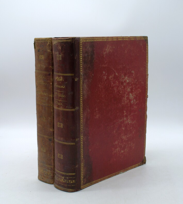
1822PHO-2146Paris, Au Dépôt général de la Marine, 1822 et 1829. 2 volumes grands in-4 (34,5 × 27 cm), demi-maroquin à coins, dos lisses avec titres et tomaisons, guirlandes aux plats. Deux volumes de vues uniquement, toutes gravées et montées sur onglets. Premier volume : faux-titre, titre gravé illustré d’une Vue du Goulet de Brest, gravée par Schroeder, table des planches, et 91 vues à double page. Second volume : faux-titre, table des planches, 91 vues à double page, numérotées 79 à 169, et 20 planches de marées.
1811PHO-1656Paris, F. Schoell, 1811 ; 5 vol. in-8, relié veau raciné, dos lisse orné, pièces de titre et de tomaison rouge, tranches marbrées, illustré d’un plan dépliant et d’une grande carte par Poirson. Édition originale au format in-octavo, conforme à celle in-4 de 1811, 2ff-iii-456, 2ff-520pp-1ff, 2ff-419pp ,2ff-564pp-1ff . Rongés avec manques de cuir, épidermures, intérieur frais.
1871PHO-1728Paris, Imprimerie Nationale, 1871, in-folio de 216pp., 19 planches repliées, non relié, sous étui, couverture renforcée, petite mouillure angulaire.
1826PHO-2137Paris, Imprimerie de C.-L.-F. Panckoucke, 1826, Folio éléphant (72x55), 54 feuilles, demi reliure, dos lisse orné, défauts (coins très usés, frottements, manque au dos, coiffes abimées, etc…), mouillure angulaire, petites rousseurs, piqures sur les 2 dernières planches.
1889028277New York: Julius Bien & Co 1889. Condition of the binding is only Fair with pest damage. Leather over the spine has perished. Front and rear outer hinges cracks have been neatly reinforced with high quality clear flexible glue. Inner hinges are OK having been reinforced by the publisher/bookbinder with sturdy maroon cloth. SEE PHOTOS. Condition of all maps is NEAR FINE - FINE. NO foxing or toning. Pages are clean and unmarked. SEE PHOTOS. Includes a title page map of New Jersey Key to the System of Mapping and 19 linen-backed double page maps. Collated and complete per table of contents -- SEE PHOTOS. The maps are lithographically printed in blue red yellow and black. The double page maps open to an impressive 26.50" across by 36.50" tall. No year of publication is stated but Phillips 2149 in A LIST OF GEOGRAPHIC ATLASES Vol. 1 says 1889. The maps themselves are variously dated up to 1888. Titles of Sheets: No. 0. New Jersey State Map Geographic; No. 1. Kittatinny Valley and Mountain No. 2. Southwestern Highlands; No. 3. Central Highlands; No. 4. Northeastern Highlands; No. 5.Vicinity of Flemington; No. 6. Valley of the Passaic; No. 7. The Counties of Bergen Hudson Essex No. 8. Vicinity of Trenton; No. 9. Monmouth Shore; No. 10. Vicinity of Salem No. 11. Vicinity of Camden; No. 12. Vicinity of Mount Holly; No. 13. Vicinity of Barnegat Bay; No. 14. Vicinity of Bridgeton; No. 15. Southern Interior; No. 16. Egg Harbor and Vicinity; No. 17. Peninsula of Cape May; Unnumbered map. "New Jersey from Original Surveys based on the Triangulation of the U.S. Coast and Geodetic Survey Relief Map." Scale of first and last doublepage maps: 5 miles to an Inch. Scale of maps No. 1 to No. 17: 1 mile to an Inch. Bound in black pebble-grain cloth with gilt-stamped brown leather title label leather spine and corners leather backstrip has perished. SEE PHOTOS. The textblock could be easily rebacked or recased with no re-sewing required since all pages/maps are still securely bound together. Oversize Hardcover. 19.50" wide by 27" tall. This massive extremely heavy book will require SUBSTANTIAL extra postage at our cost based on your location. LeGear ATLASES OF THE UNITED STATES L5609. See also Schwartz and Ehrenerg's THE MAPPING OF AMERICA pp. 310-311. Phillips 2149. This massive extremely heavy book will require SUBSTANTIAL extra postage at our cost based on your location. Second Edition. Oversize Hardcover. Fair - FINE condition. Illus. by NOT a library discard. Atlas folio. Great Packaging Fast Shipping. Julius Bien & Co Hardcover
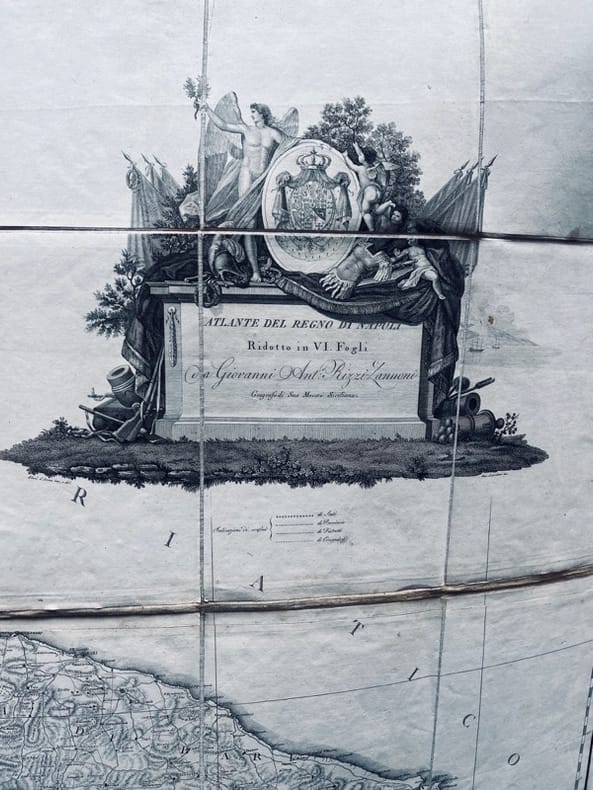
181520379circa 1808-1815. Grande carte murale, eau-forte imprimée sur papier vergé, découpée en 64 rectangles (8 par feuilles) montés sur toile de lin (138,5 x 144 cm.), rempliée et sous étui.
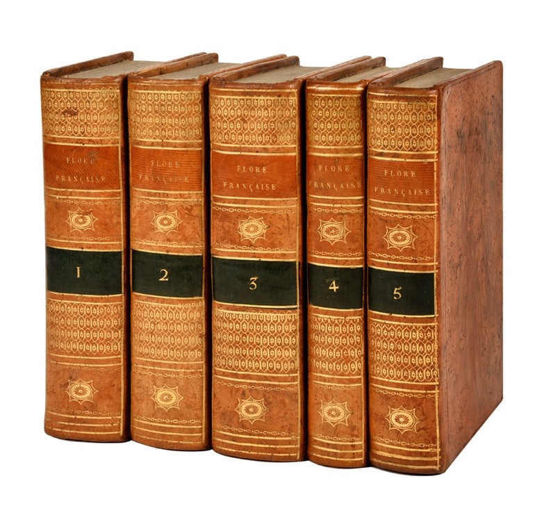
180521684Paris, H. Agasse, Imprimerie de Stoupe, an XIII (1805); 4 tomes reliés en 5 volumes in-8 ; veau fauve raciné, dos lisse à décor de style “Bozérian” (reliure de Napoléon), pièces de titre fauve et de tomaison vert empire (reliure de l’époque) ; XVI, 224, (Discours préliminaires et Principes de Botanique), 388 pp., 1 tableau dépliant et 11 planches dépliantes par De Sève ; XII (explication de la carte botanique), 600 pp., très grande carte botanique de la France en couleurs dépliante ; 731 pp. ; (4), 384 pp. ; pp. 385-944, (2) pp.
1802Le534London: C. Cooke 1802. Extra Illustrated Fine Edition . Hardback. Vg. 4to. : containing an accurate and entertaining description of Europe Asia Africa and America being a complete and universal history and description of the whole world as divided into Empires. 2 volumes. 'Upwards of 100 engravings'. All plates and maps present as per the binders list. 24 MAPS SOME FOLDING ALL HAND-COLOURED. The two North American plates have small fold splits with a trifle loss otherwise all plates are fine and lovely dark impressions with fine hand-colouring to the maps. Undated but presumed 1802 first edition. Hand-coloured maps and copper-plate engraving throughout. Rubbed and worn full calf original binding with black calf labels gilt. Armorial bookplates in each volumes of T. Grimshaw with marbled end-papers. The fine world map was engraved by A. Arrowsmith and engraved by J. Lodge. The anon. large folding Pacific Ocean is complete but torn to the lower centre fold. The plate list calls for 8 extra plates given in the 'Fine' edition. These are all present and are beautiful strong dark impressions. PLEASE EMAIL FOR PHOTOS. <br/> <br/> C. Cooke hardcover
1850Map883Edinburgh and London: William Blackwood & Sons 1850. 1st edition 2nd issue . Hardback. Fine. Imperial Folio. 22 x 14.5 inches 57x38cms published simultaneously with divisions concerning the Geology Meteorology Phytology and Zoology of the world WITH a total of 30 maps AS CALLED-FOR. ALL DOUBLE PAGE AND HAND-COLOURED each plate measures 67x45cms. Bound in the orginal half-calf binding with cloth boards. Attractive sound spine but some wear. The 1st edition as published 1848 but with 1850 to the title-page. The large orignal edition with 30 beautiful hand-coloured engraved plates hinged. The first 1848 issue was engraved with some plates hand-coloured. This slightly later issue has all the plates engraved and with hand-colouring and the second issue of 1856 had lithographic plates with some printed colour and some hand-colour. A SCARCE ITEM. The best set of plates. <br/> <br/> William Blackwood & Sons hardcover
185721645Paris, Perrotin, 1857 ; 9 tomes in-8°, demi-veau glacé rouge, dos lisse à faux nerfs dorés, fleurons romantiques à froid (reliure de l’époque) ; 454 ; 413 ; 520; 481 ; 400; 431 ; 419 ; 441 ; 456 pp., portrait du duc de Reischtadt en couleurs, portrait du duc de Raguse, 4 fac-similés, 1 tableau dépliant et 2 cartes dépliantes.
1875Map877London: Edward Stanford 55 Charing Cross 1875. 1st issue . paper wrappers. Fine. Folding map. 78.5 x 66.5 cms. The rare first issue of Stanford's April 19th 1875 map of the North Pole. Laid on cloth in 12 dissected sections. Coloured printing. Pasted to the lower left corner is a contemporary inset map of the Kennedy Channel entering ther 'frozen Polar Ocean' text to the reverse of the inset map.The voyages and journeys of the Artic explorers throughout the centeries are neatly printed in red throughout the map with dates including up to Austrian Exped. Payer 1874. Neatly enclosed in cloth covers when folded with a hand-written original label 'North Pole'. A lovely copy of a very scarce item. PLEASE EMAIL FOR PHOTOS. <br/> <br/> Edward Stanford, 55 Charing Cross unknown
1844026815Edinburgh / London / Dublin: Adam and Charles Black / Longman / Simpkin / Whittaker / Hamilton / Cumming 1844. Good - Very Good condition. Bound in green cloth with black leather spine and corners elaborately gilt decorated. The leather is surprisingly well preserved. The cloth is faded and soiled with frayed edges. SEE PHOTOS. NO owner's name or bookplate. NOT a library discard. Imprinted "MDCCCXLIV" at the foot of the title page with "1844" hand inked beneath. All other pages are crisp clean and umarked with almost no foxing. Full title; "Black's General Atlas: Comprehending Sixty-One Maps from the Latest and Most Authentic Sources Engraved on Steel in the First Style of the Art by Sidney Hall Hughes etc. with Geographic Descriptions and an Index of 56000 Names." The maps several double page are tissue guarded and most are handcolored in red yellow and green. SEE PHOTOS. With the binder's ticket of Smith & Son 306 Lawnmarket Edinburgh. All edges gilt. Oversize hardcover. 13.25" wide by 17.75" tall. This large heavy book will require SUBSTANTIAL extra postage depending on destination that will be charged at our cost. 1844 edition. Oversize Hardcover. Good - Very Good condition. Illus. by NOT a library discard. 12pp. 61 maps 57 page Index. Great Packaging Fast Shipping. Adam and Charles Black / Longman / Simpkin / Whittaker / Hamilton / Cumming Hardcover
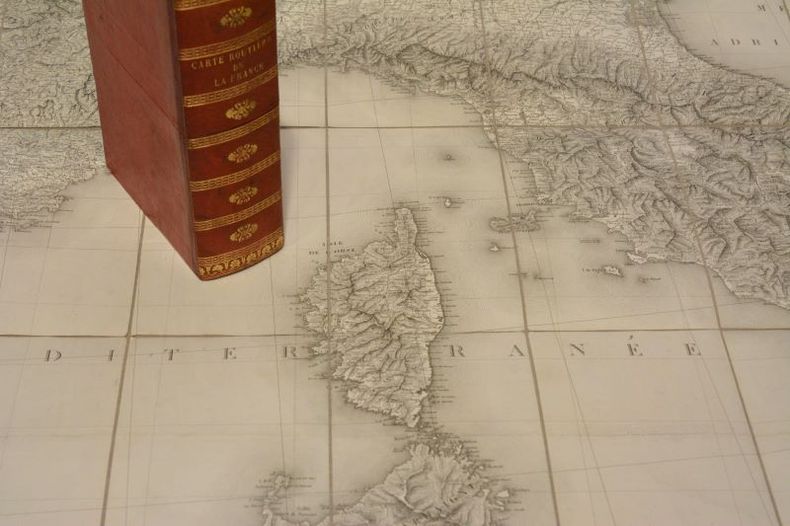
18210041311821 Paris, Ch. Picquet, Quai de Conti N°17, sans date [1821]. Deux parties s'emboitant pour former un coffret grand in-8 (134 X 200) demi-maroquin à long grain rouge, dos lisse orné de larges frises dorées en place des nerfs, fleuron doré dans les compartiments, large guirlande dorée en queue, titre (reliure de l'éditeur) ; carte gravée et entoilée composée de six feuilles (656 X 935) pliées chacune en 21 sections ; chaque feuille comprend au verso une étiquette de titre octogonale (65 X 93) gravée, décorée et illustrée, contenant notamment au centre la reproduction de l'intégralité de la carte découpée en six parties avec le numéro correspondant à chacune d'entre elles. Chaque feuille contient un onglet en vélin avec le titre "Carte de la France" et un numéro compris de 1 à 6. Petit accroc dans le compartiment supérieur du dos, quelques défauts au coffret.
1828GT100London: Richard Holmes Laurie 1828. 1st Edition . No Binding. Fine. A fine and very rare printed folding map of IRELAND by Richard Holmes Laurie 53 Fleet Street London 84 x 64 cms 33 x 25 inches with original fine hand-colouring and enclosed in the original green calf slipcase with gilt title embossed to the case edge. Divided into 18 panels on a linen sheet. No recorded copy at auction and no copy in Copac a similar dated 1817 in the BL Published 8th April 1828. No copies in WorldCat. Richard Holmes Laurie 1777-1835 was the son of Robert Laurie who whom he apprenticed as a mezzotinter who went into partnership with his fathers old partner Whittle until the latters death in 1818. Laurie and Whittle were one of the leading British Cartographic publishers in the 18th and 19th century. Richard Holmes Laurie used Captain Powell's observations of Laurie Island in the South Atlantic and printed the first map of the island which was then named after him. <br/> <br/> Richard Holmes Laurie unknown
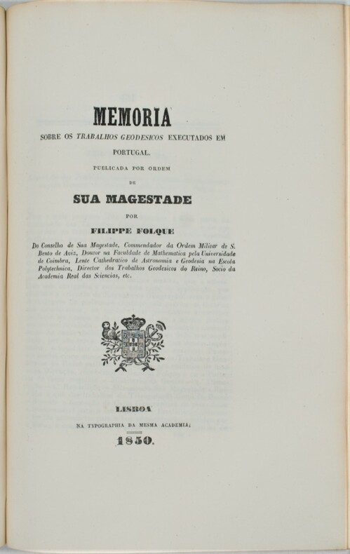
1841PHO-1220Lisboa. Na Typografia da Academia Real das Sciencias. 1841-1852 , grand et fort in-4 (31x22) ,de 859pp. (1841;3ff-1-166pp,1849;2ff-167-490pp,1850;1f-491-656,1852;657-859pp) et illustré de 8 cartes et planches dépliantes (certaines brunies),relié demi veau , dos orné avec auteur et titre , ex-dono manuscrit au titre à Vincendon-Desmoulin (cartographe de Dumont d’Urville sur l’Astrolabe), cachet .
1821Map884Blundtisham St Ives: R.G. Baker 1821. 1st Edition . No Binding. Vg./Fine. Rolled wall map from four engraved sheets laid on a single roll of strong linen. Surveys by R.G. Allen in the Years 1816 17 18 19 & 20. Engraved by J.Allen 17 Poplar Row New Kent Road Surrey. Dedication to 'The Right Honorable Philip Earl of Hardwicke Lord Lieutenant and Custos Rotorum of the County of Cambridge. B.L. 004813374 One inch to one mile. The first large large scale survey and map of the county of Cambridge one of the last to be surveyed in England. This map was funded by public subscription. Hand -coloured and comprising 4 sheets joined and mounted on two wooden rolls to display lacking one roll. <br/> <br/> R.G. Baker unknown
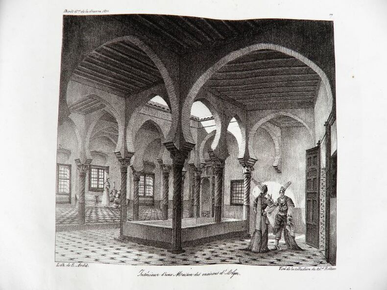
18302192Paris, Ch. Piquet, 1830. Texte + Atlas, complet. In-12, 10,5 x 17,5 cm (texte) ; In-folio oblong, 36 x 28 cm. Reliure postérieure pastiche en demi-veau fauve et coins crème en vélin, dos lisse orné de filets à froid et roulettes dorées, pièce de titre en maroquin noir, tranches du volume de texte marbrées. viii, 238 pp. ; 21 pl. (atlas). Deuxième édition, publiée la même année que l’originale. « La première édition de cet Aperçu a été envoyée à l’armée expéditionnaire d’Afrique. On trouvera, à la fin de celle-ci, quelques plans nouveaux, et, dans le texte ou en appendice, quelques additions que de nouvelles recherches nous ont mis à même de présenter au lecteur ». L’atlas contient 7 cartes ou plans gravés, dont 6 dépliants (2 établis d’après les relevés du Capitaine Boutin) et 14 planches lithographiées, dont plusieurs issues de la collection du Colonel Rottiers représentant des vues et des costumes, le tout monté sur onglets.« Ouvrage publié par le Dépôt Général de la Guerre à l'usage de l'armée expéditionnaire d'Afrique, qui quitta le port de Toulon le 25 mai 1830, en direction d'Alger. Il fut rédigé par le géographe Charles Piquet, en grande partie d'après le rapport du capitaine Boutin, envoyé en mission d'espionnage, en 1808, dans la régence d'Alger ». Gay, 852 et 873 ; Tailliart, 1455. Ex-dono JJL de Querelles sur la première carte.
18472207260257xbvkGLOGAU - LEIPZIG, DRUCK U. VERLAG VON C. FLEMMING, 1844/1847. --- FORTSETZUNG der Tafeln / Maps continued: . . . Christliches Staatensystem; Buddhaistisches Staatensystem; Mohammedanisches Staatensystem; Dalmatien; Europäisches Russland; Kaukasus; Pal SCHWERER HALBLEDEREINBAND DER ZEIT mit unbedruckten Vorsatzblättern (diese geknittert und angestaubt), die Karten auf unterschiedlich starken Papieren gedruckt; QUER-FOLIO (ca. 44 x 36 x 4,5 cm; ca. 3.65 kg.).
18452407150241xbvkFirenze, Presso gli editori - Tipografia e calcografia all'insegna di Clio, 1835-1845. X, 184 p. / XIX, 116 p.; XXIII, 771 p.; II+V+1 folded plates. / VII, 1.026 p. / 1.110 p. / 618 p. / XXVII, 1.102 p.; III folded plates. / VIII, 603 p. / XII, 273; XIII, 481 p. / XVII, 619 p. / XII, 652 p.; IV (of IX?) folded plates. / IX, 385 p.; V folded plates. / XXI, 1.091 p.; IV folded plates. / 311 p. / 1.133 p. / 670, VI; 83 p. / XXV, 1.064 p.; I folded plate. / 573 p. / XXIV, 844 pages. - Overall CCXXXIII, 13.713 pages; XXV (of 30?) often multiple-folded plates**. --- GILT-DECORATED AND -TITLED 'PUBLISHERs' HALF-LEATHER BINDING WITH MARBLED PANELS, sparkled edges (Vol. 8.II: Plain brown papercover of the period); 8vo.(ca. 23 x 15 x 95 cm; ca. 17 kg.).