338 résultats
18472207260257xbvkGLOGAU - LEIPZIG, DRUCK U. VERLAG VON C. FLEMMING, 1844/1847. --- FORTSETZUNG der Tafeln / Maps continued: . . . Christliches Staatensystem; Buddhaistisches Staatensystem; Mohammedanisches Staatensystem; Dalmatien; Europäisches Russland; Kaukasus; Pal SCHWERER HALBLEDEREINBAND DER ZEIT mit unbedruckten Vorsatzblättern (diese geknittert und angestaubt), die Karten auf unterschiedlich starken Papieren gedruckt; QUER-FOLIO (ca. 44 x 36 x 4,5 cm; ca. 3.65 kg.).
1839W043Eton: E. Williams 1839. New and improved edition . Hardback. Fair. large 8vo. xviii 847 i adpp. Folding frontis. plate of the Solar system.; astronomical folding plate; folding plate of Athens. Lacks Rome and Syracuse plates. Title-page and frontis. loose and binding worn. READING/ REFERENCE COPY ONLY. <br/> <br/> E. Williams hardcover
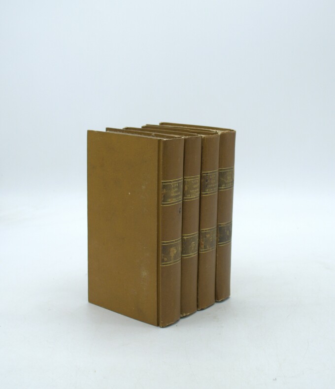
1828PHO-2111Paris, Baudry, 1828. 4 volumes in-8 (18,5 x 10,5 cm), reliés plein cartonnage d’époque, dos lisse avec pièces de titre et tomaison, quelques frottements aux pièces, coins légèrement usés, très peu de rousseurs. Illustré d’une carte dépliante en frontispice du premier volume.
1830Le601London: G.G. and J. Robinson 1830. 3rd Edition . Hardback. Vg. 8vo. :Containing a Comprehensive System of Modern Geography After a New and Curious Methodlxiii 567 viii pp appendix. Original full plain calf gilt ruled compartments. 5 engraved plates in the Introduction A double hemisphere world map worn but complete as a frontis. and 6 folding maps Europe creased in the main section. "Corrected and considerably enlarged". New descriptions of America and Cook's Voyages I. A General View of the Terraqueous Globe: Being a Description of the Figure Motion and Magnitude of the Earth; The Theory of the Air Winds and Tides; the Doctrine of the Sphere; the Use of the Globes etc etc. II. A particular View of the Terraqueous Globe: Being an accurate Description of all the Empires Kingdoms States Provinces and Colonies in the known World; shewing the Extent of their Situation Extent Climate Air Soil Animal Vegetable and Mineral Productions . To which is added An Appendix: Containing a Geographical Table with the Names and Situations of the Chief Cities Towns &c. etc etc.The first edition of this educational book was <br/> <br/> G.G. and J. Robinson hardcover
1839TH225London: Aldam and Co. Et al. 1839. 1st Edition . Hardback. Fine. 8vo. 100pp. Large folding table of distances frontis. A wonderful early Victorian geography in the orginal stiff card cover with fine buckram cloth cover and a lozenge label pasted to the front cover. A RARE ITEM. Copac 1 copy only 1839. A second edition was published in 1850. <br/> <br/> Aldam and Co. Et al. hardcover
1839TH327London: Longman Orme Brown Green & Longmans 1839. a new Edition Considerably Improved . Hardback. Vg. 8vo. ND but preface dated Walworth 1839. xxiv 364pp 7 folding plates at the rear.12pp pub. cat. dated August 1841 London. Bound in the pub. green fine pebble gren cloth with gilt titles to the spine. Pasted -down end-papers list Longmans 'New School Books'/ Neat owners sig. dated 1842. Thomas Keith 1759-1824. The first edition was pub. in 1805 <br/> <br/> Longman, Orme, Brown, Green & Longmans hardcover
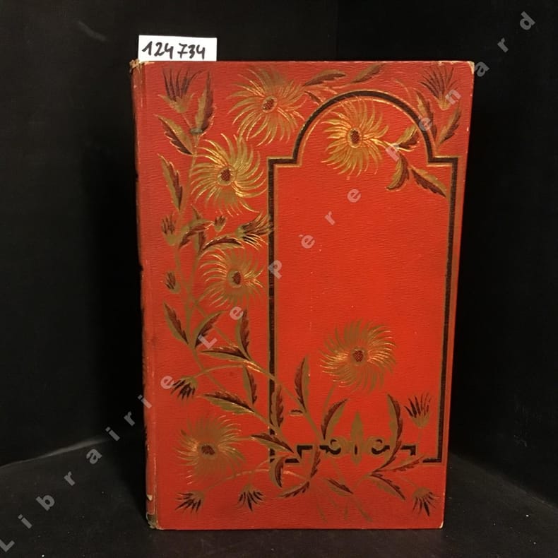
18871247341887 Alfred Mame et fils, Editeurs, Tours - M DCCC LXXXVII (1887) - Deuxième édition - Un volume In-4, cartonnage rouge orné de décors en noir et doré sur le premier plat et au dos, décors en noir sur le quatrième plat, toutes tranches dorées, frontispice - 368 pages - Ouvrage orné de 45 gravures et d'une carte en N&B, hors-texte
1875115929The Lakeside Press, Chicago, 1875. 45,5 x 37,5 cm ; Halbleder
1809Map953Paternoster Row London: Longman Hurst Rees & Orme 1809. 1st Edition 1st Printing. No Binding. Fine. Original early 19th century map MAP OF AEGYPTUS BY AARON ARROWSMITH. Inset detailed map of Aegypti pars Meridionalis.A FINE CLEAN AND DARK IMPRESSION. Original folding plate printed on heavy paper A scarce example and in fine un-coloured original condition. An occasional light foxing mark. 41x27cms. Double-page folding map. Engraved by Cooper.A LOVELY COPY. Imprint date June 1 1809. <br/> <br/> Longman, Hurst, Rees & Orme unknown
1807Map945Paternoster Row London: Longman Hurst Rees & Orme 1807. 1st Edition 1st Printing. No Binding. Fine. Original early 19th century map MAP OF AFRICA BY AARON ARROWSMITH. A FINE CLEAN AND DARK IMPRESSION. Original folding plate covering THE WHOLE OF AFRICA printed on heavy paper dated 1807. A scarce example and in fine un-coloured original condition. An occasional light foxing mark. 41x27cms. Double-page folding map.Engraved by Cooper.A LOVELY COPY <br/> <br/> Longman, Hurst, Rees & Orme unknown
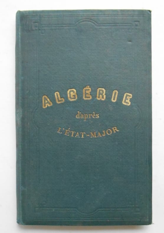
18731663781873 ALGERIE . D ' après les cartes et les documents du ministère de la Guerre .Andriveau - Goujon ,1873Carte de 96 x 67 cm ,coloriée , entoilée et repliée sur une couverture toilée de 16 x 23.Dans le bas inférieur droit l'éditeur a imprimé une autre carte : Carte d ' ensemble des rapports entre la France , L'Algérie, la Sénégambie , et le Nord de l ' Afrique .( 22x 23 cm ) Carte coloriée.Très bon état
18818072EBBielefeld und Leipzig, Verlag von Velhagen & Klasing, 1881. 2°. 43 x 30 cm. 96, 98 Seiten. Halbleinenband, Rücken erneuert. [3 Warenabbildungen]
1886414172Bielefeld, Velhagen & Klasing, 1886. Fol. 96 farb. Ktn. 92 S. OHldr. m. goldgepr. Rücken- u. Deckeltitel. Rücken u. Ecken leicht bestoßen. Deckel berieben.
1805Map958Paternoster Row London: Longman Hurst Rees & Orme 1805. 1st Edition 1st Printing. No Binding. Fine. Original early 19th century MAP of ALPINE COUNTRY from Barvaria to N. Italy. On MERCATORS PROJECTION BY AARON ARROWSMITH. A FINE AND DARK IMPRESSION. Original folding plate printed on heavy paper dated 1804. A scarce example and in fine un-coloured original condition. SOME MARGINAL FOXING. 41x27cms. Double-page folding map.A NICE COPY <br/> <br/> Longman, Hurst, Rees & Orme unknown
1832Pa402London: A. Arrowsmith and B. Fellowes 1832. 1st Edition . Hardback. Vg. 12mo. Engraved title engraved index and 19 engraved maps with outline colour lower half of Italy lacking. Double page and folding maps. Some edges of folds split. Original binding with detached front board. The ancient world by Arrowsmith 'Hydrographer to the King' William IV <br/> <br/> A. Arrowsmith and B. Fellowes hardcover
1837TS145London: Longman & Co. 1837. 1st Edition . original half red morocco. Grubby. octavo. 23 attractive double page maps of the ancient world with outline hand-colouring. Index. A scruffy original binding but with clean maps. <br/> <br/> Longman & Co. unknown
1899REIS0251Bielefeld u. Leripzig, Velhagen & Klasing 1899. Folio, 2 Bl. Titelei, 186 farb. Karten, 179 S.; OHLdr., stark berieb., bestoß., Rücken fehlt zur Hälfte, Leder beschabt, Schmuckvorsätze, Karten in gutem Zustand.
189352669BBBielefeld und Leipzig, Verlag von Velhagen & Klasing, 1893. 2°. 43 x 30 cm. 140 Blatt Karten, 168 Seiten Verzeichnis. Halbleinenband, Rücken erneuert. [3 Warenabbildungen]
1883B67317Sint-Nikolaas, J. Edom 1883 59pp., 28cm., br.orig., non-coupé, bilingue / tweetalig: Nederlands-français, [bevat / contient: J.V.R., La grande carte de Flandre par Gérard Mercator (1540), pp.173-208 & J.V.R., Het armmeesterschap te Sint-Nikolaas in vorige tijden, pp.209-217]
1890B67327Saint-Nicolas, J. Edom 1890 122pp. + 1 planche hors-texte, 28cm., brochure originale (dos restauré), bilingue / tweetalig: Nederlands-français, [bevat / contient: VAN NAEMEN Felix, L'épitaphier Wasien. Inscriptions de Melsele no.656-754, de Cruybeke no.755-794, de Calloo no.795-817, pp.219-296 & VAN RAEMDONCK, Gérard Mercator Rupelmondois et non Anversois, pp.297-310 & VAN RAEMDONCK, Découverte de deux premiers exemplaires connus de la grande carte d'Europe (1554) et de la carte des îles Britanniques (1564) de Gérard Mercator, pp.311-330], B67327
1889248731Roma, 1889. M. 1 gef. Taf. u. 1 gef. farb. Kte. IX, 138 S. OBr. Unaufgeschn. Ex. Umschlag angeschmutzt, m. Randläsuren bzw. kl. Fehlst. M. mehr. St. Vord. Umschlag u. Vorsatz wasserrandig.
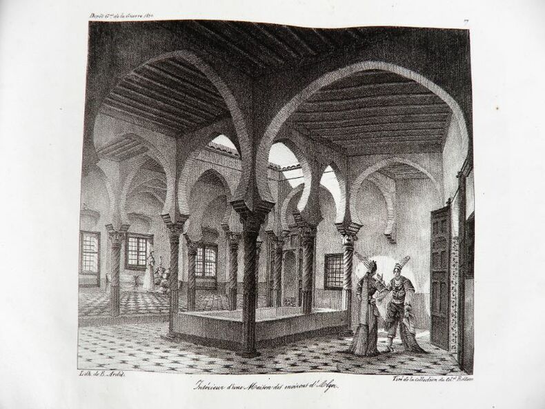
18302192Paris, Ch. Piquet, 1830. Texte + Atlas, complet. In-12, 10,5 x 17,5 cm (texte) ; In-folio oblong, 36 x 28 cm. Reliure postérieure pastiche en demi-veau fauve et coins crème en vélin, dos lisse orné de filets à froid et roulettes dorées, pièce de titre en maroquin noir, tranches du volume de texte marbrées. viii, 238 pp. ; 21 pl. (atlas). Deuxième édition, publiée la même année que l’originale. « La première édition de cet Aperçu a été envoyée à l’armée expéditionnaire d’Afrique. On trouvera, à la fin de celle-ci, quelques plans nouveaux, et, dans le texte ou en appendice, quelques additions que de nouvelles recherches nous ont mis à même de présenter au lecteur ». L’atlas contient 7 cartes ou plans gravés, dont 6 dépliants (2 établis d’après les relevés du Capitaine Boutin) et 14 planches lithographiées, dont plusieurs issues de la collection du Colonel Rottiers représentant des vues et des costumes, le tout monté sur onglets.« Ouvrage publié par le Dépôt Général de la Guerre à l'usage de l'armée expéditionnaire d'Afrique, qui quitta le port de Toulon le 25 mai 1830, en direction d'Alger. Il fut rédigé par le géographe Charles Piquet, en grande partie d'après le rapport du capitaine Boutin, envoyé en mission d'espionnage, en 1808, dans la régence d'Alger ». Gay, 852 et 873 ; Tailliart, 1455. Ex-dono JJL de Querelles sur la première carte.
1808Map941Paternoster Row London: Longman Hurst Rees & Orme 1808. 1st Edition 1st Printing. No Binding. Fine. Original early 19th century map MAP OF ARABIA BY AARON ARROWSMITH. A FINE CLEAN AND DARK IMPRESSION. Original folding plate covering THE WHOLE OF ARABIA printed on heavy paper dated 1808. A scarce example and in fine un-coloured original condition. An occasional light foxing mark. 41x27cms. Double-page folding map.Engraved by Cooper.A LOVELY COPY <br/> <br/> Longman, Hurst, Rees & Orme unknown
1806Map954Paternoster Row London: Longman Hurst Rees & Orme 1806. 1st Edition 1st Printing. No Binding. Fine. Original early 19th century map MAP OF ASIA BY AARON ARROWSMITH.A FINE CLEAN AND DARK IMPRESSION. Original folding plate printed on heavy paper A scarce example and in fine un-coloured original condition. An occasional light foxing mark. 41x27cms. Double-page folding map. Engraved by Edw. Jones.A LOVELY COPY. Imprint date May 6th 1806. <br/> <br/> Longman, Hurst, Rees & Orme unknown
1879162993Berlin, 1879. 4°. 192 S. OBr. Rücken agnerissen. Umschl. angeschmutzt u. eingerissen. Hint. Umschl. fehlt. Letztes Bl. etwa stockfl. (Publ.. d. Königl. Preusz. Geodät. Inst.)