Biblio.com

190 résultats
1830009582Paris - 21 Quai Voltaire: Rosselin 1830. Map. Fine. Map. A fine map hand-coloured in outline folding into original marbled paper boards with title label to the front board. Boards rubbed conrners worn. The map measures 74 x 55cm and is in very good condition with the paper bright. A very good to fine copy of this rare map. Rosselin hardcover
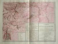
1805570721805. Copper engraving with handcolouring map shows the border of the Austrian Empire and Hungary Vienne sic and the Danube can be seen at the top of the map Two keys and scale inset. Few closed tears and some browning edges otherwise a clean and bright image. Map measures approximately 34 x 44cm. Map of Germany <br>indicating the present division of this empire as well as the new possessions of the princes who make up the Germanic body and including Batavia and Helvetia Switzerland with their divisions. by E. Mentelle a member of the institute and P. G. Chanlaire one of the authors of the National Atlas. An xiii 1805. Paris. There is a key to the explanation of the signs and an explanation of the colours used for the district of the various states contained in this map. . unknown
1840WRCAM29920Mexico: Impresso Por Igancio Cumplido 1840. 964pp. plus one plate. Contemporary pictorial wrappers. Spine reinforced with archival tape minor dust soiling. Very good. Variant issue without priority also printed in New Orleans in the same year. The text of a letter sent to Mexican president Anastasio Bustamente calling for a convention to address various ills affecting the newly independent state of Mexico. Estrada is heavy on political theory and with good reason. At the time of publication Mexican democracy was in a crisis. In July Gen. Urrea acting on behalf of Valentine Farias actually stormed the National Palace and took Bustamente prisoner. Bustamente soon escaped but the ensuing conflict between Farias and Bustamente for legitimacy had a devastating effect on hopes for a true democracy of the kind Estrada extols here. An excellent sample of Mexican political history and thought. SUTRO COLLECTION p.739 OCLC 7320339. Impresso Por Igancio Cumplido unknown books
1840354279Mexico: Impresso Por Igancio Cumplido 1840. 964pp. plus one plate. Contemporary pictorial wrappers. Spine reinforced with archival tape minor dust soiling. Very good. 964pp. plus one plate. Variant issue without priority also printed in New Orleans in the same year. The text of a letter sent to Mexican president Anastasio Bustamente calling for a convention to address various ills affecting the newly independent state of Mexico. Estrada is heavy on political theory and with good reason. At the time of publication Mexican democracy was in a crisis. In July Gen. Urrea acting on behalf of Valentine Farias actually stormed the National Palace and took Bustamente prisoner. Bustamente soon escaped but the ensuing conflict between Farias and Bustamente for legitimacy had a devastating effect on hopes for a true democracy of the kind Estrada extols here. An excellent sample of Mexican political history and thought. SUTRO COLLECTION p.739 OCLC 7320339 Impresso Por Igancio Cumplido unknown
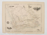
1851174666London.: Tallis John. 1851. Lithographed map 24.2 x 32 cm districts picked out in original hand colour inset vignette illustrations decorative border lower margin ragged but the attractive map in very good condition. Attractive decorative map from "Tallis's illustrated atlas and modern history of the world." one of the last great illustrated series of world maps. The fine vignettes are of Cape Town Graham Town and entrance to the Knysha Heads. . (Tallis, John). unknown
183928837Washington 1839. 25th Cong. 3d Sess. H.Rep.322. 167pp disbound. Six folding maps and chart. Several text leaves browned Very Good plus. <br/><br/> Reviewing proposals and data for a canal route including a memorial from Matthew Carey. <br/>Morrison 5 noting only 3 maps. unknown books
183928837Washington 1839. 25th Cong. 3d Sess. H.Rep.322. 167pp disbound. Six folding maps and chart. Several text leaves browned Very Good plus. <br /> <br /> Reviewing proposals and data for a canal route including a memorial from Matthew Carey. <br /> Morrison 5 noting only 3 maps. unknown
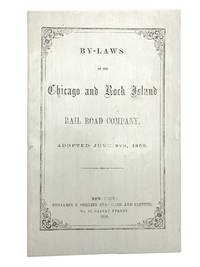
1858406267New York: Benjamin F. Corlies 1858. A very good to near-fine copy with one closed tear and some light discoloration to the wrappers. 8vo. 10 pages. Original glazed-paper printed wrappers. Nine articles outline the structure of the company which had formed in 1847 as the Rock Island and LaSalle Rail Road Company and reincorporated under its new name in 1851. OCLC 4997635. Eberstadt catalogue 131 item 354. <br/><br/> Benjamin F. Corlies unknown books
185830039New York: Benjamin Corlies 1858. Original printed glossy wrappers light fading to lettering. Stitched. 10 2 blanks pp. Near Fine.<br/><br/> Founded in 1847 as the Rock Island and LaSalle Rail Road Company the Chicago and Rock Island reincorporated in 1851 and adopted these bylaws in 1858. In 1880 the Company was reorganized as the Chicago Rock Island and Pacific Railway. <br/>131 Eberstadt 354. Benjamin Corlies unknown books
185830039New York: Benjamin Corlies 1858. Original printed glossy wrappers light fading to lettering. Stitched. 10 2 blanks pp. Near Fine.<br /> <br /> Founded in 1847 as the Rock Island and LaSalle Rail Road Company the Chicago and Rock Island reincorporated in 1851 and adopted these bylaws in 1858. In 1880 the Company was reorganized as the Chicago Rock Island and Pacific Railway. <br /> 131 Eberstadt 354. Benjamin Corlies unknown
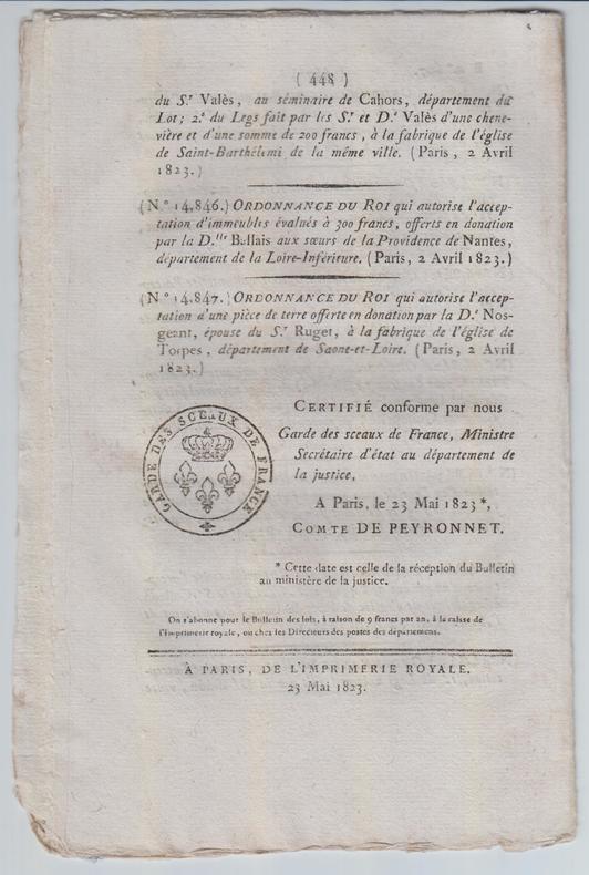
1823SPN-781Paris : Imprimerie royale, 23 mai 1823. Brochure de 16 pages en feuilles (433-448).
1811SPN-782Paris : Imprimerie impériale, s.d. [1811]. Brochure de 16 pages en feuilles (113-128).
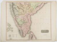
1816185242London.: Thomson. 1816. Engraved map with full handcolour 50.5 x 59.7 cms ; 53.9 x 73.8 cms sheet central fold a few minor edge tears one intruding into the top border the map unscathed marginal edgewear two corners with some loss but the map in very good crisp condition. An elegant map with great detail prepared for John Thomson's influential "New General Atlas" 1814-1821. Showing India from 20 degrees to 7 degrees north of the equator and includes the northern half of Ceylon with territorial interests attractively coloured. . Thomson. unknown
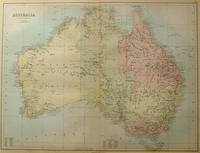
188456997Edinburgh.: A & C Black. 1884. Printed colour map of Australia some light foxing few minor tears browned edges still a clear and bright image. Map measures approximately 42 x 55cm. . A & C Black unknown
189457598San Francisco CA: Standard Asphalt Company of California Printed by Bosqui Printing & Engraving Co. 1894. 8vo. 8 pp unpaginated. printed in red & black. Black printed softcovers white lettering front cover company logo illust. on back cover minor shelfwear slight rubbing very slight chip to upper right corner still VG copy. First edition of this scarce promotional brochure by this pioneering California oil and mining company initially drawing upon petroleum and asphalt mines near Bakersfield California by the late 1880’s. They had originally drawn upon deposits in Asphalto and Hazleton but later these were played out due to high production costs to refine out the clay but later the company made a large discovery in 1893 just prior to the publication of this promotional piece touting 79% level of bitumen and production of asphalt vital for use in lacquers paints and road construction. Worldcat locates 1 copy UC Berkeley; See: Asphaltum Mineral Resources of the United States 1893-1894 1895 pp. 633-634; Asphaltum Standard Asphalt Company of California Los Angeles Herald April 5 1891 p. 6. Standard Asphalt Company of California, Printed by Bosqui Printing & Engraving Co., paperback
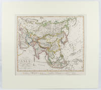
1855173439Gotha.: Perthes Justus. Circa1855. Engraved map 44.1 x 36.3 cm sheet size 35.8 x 29.7cm map size plate mark map with original hand colouring and hand coloured key noting Islamic "Mohammedanische" Buddhist "Buddhaistische" and European territories by country. Unusual map in an early issue. It was included as map 39 in Stieler's "Hand-Atlas uber alle Theile der Erde und uber das Weltgebaude by Frederic von Stulpnagel" revised by Hermann Berghaus in 1855. The issue is noted to the top right: Ausg. in 63BI. no XIV. Fine outline hand colouring denotes territories by religion and Chinese ports open to European trade and Japanese ports open to American trade. . Perthes, Justus. unknown
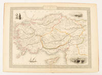
1851174952London & New York.: Tallis J & F. 1851. Lithographed map 24.5 x 32.3 cm borders picked out in original hand colour four inset vignette illustrations decorative Greek key border edge worn and discoloured paper toned but the attractive map in good condition. Attractive decorative map prepared for "Tallis's illustrated atlas and modern history of the world." one of the last great illustrated series of world maps. The fine vignettes are of Mt. Olympus Rhodes a ketch in the Mediterranean Sea and two costumed Ottomans. . Tallis, J & F. unknown
18297369Bourg, P.F. Bottier ; in-8, broché ; 188 pp. SUIVI DE : Quelques idées sur les moyens de conserver les routes de la France et d’ajouter celles qui sont encore nécessaires ; par l’ingénieur en chef (M. Cherrier ainé). Même imprimeur, supplément à l’Annuaire ; 11 pp., (1 bl.), (4) pp., couverture gris-bleu imprimée.
184719019Auxerre Perriquet 1847 In-8 146 + 296 pp + 2planches , rousseurs d'usage ; traces de frottements au dos Il manque probablement une grande planche dépliante d'après Belleforest
184719060Auxerre Perriquet 1847 In-8 146 + 296 pp + 3 planches , DONT une grande planche dépliante d'après Belle-forest en 1575? Cette planche est complète mais séparée à la pliure supérieure, morceau volant dos légèrement passé
18368052Albany 1836. 8pp uncut and untrimmed folio leaf wide margins and light uniform tanning faint old institutional blindstamp. Caption title as issued. Very Good. FIRST EDITION. Thomson 1417 1. Not in Sabin or AI. unknown books
185316365Philadelphia: John C. Clark 1853. Original printed wrappers stitched 20pp. A bit of edge chipping to the wraps else Very Good. Statutes beginning with the Act of Incorporation under Pennsylvania law in 1850 relating to this railroad with the Act of the Virginia legislature authorizing a right of way through that State. FIRST EDITION. Haynes 13907. Not in Sabin Eberstadt Decker BRE BEAL. John C. Clark unknown books
184025276Saco: Stephen Webster Printer 1840. 14 1 1 blank pp. Stitched some loosening. Title and last page lightly dusted Very Good.<br/><br/> The Act authorizes construction of a Railroad from Portland to New Hampshire "at such place as will best connect with the Railroad to be constructed from Portsmouth to Boston."<br/>Page 15 is an Act "to extend the time to locate and construct" the Road. It is dated February 14 1840. Other than the Maine Legislature's contemporary printing of the 1837 Act this is its first publication. No earlier edition is recorded of the printing of both Acts. <br/>Not in American Imprints Sabin. Thomson 2602. OCLC 191245715 1- AAS. Stephen Webster, Printer unknown books
185316365Philadelphia: John C. Clark 1853. Original printed wrappers stitched 20pp. A bit of edge chipping to the wraps else Very Good. Statutes beginning with the Act of Incorporation under Pennsylvania law in 1850 relating to this railroad with the Act of the Virginia legislature authorizing a right of way through that State. FIRST EDITION. Haynes 13907. Not in Sabin Eberstadt Decker BRE BEAL. John C. Clark unknown
18822111902160200908Ikaho bussan 1882. Soft Cover. Fine. Volume: 1 Ikaho bussan paperback