ORTELIUS (Abraham);Livre Rare Book
213 résultats
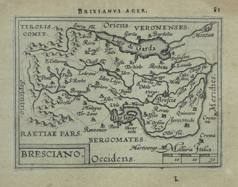
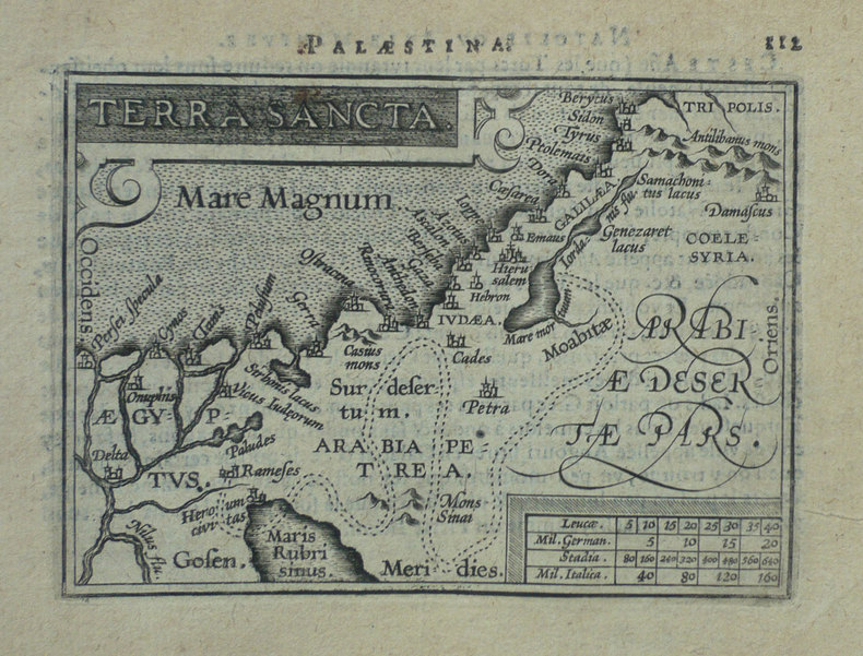
1598LBW-1384Anvers 1598 81 x 106 mm.
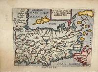
1598M11299Italy c.1598. Very Good. Notes: Miniature map of Turkey oriented with north at the bottom. The Islands of Cyprus Crete and Rhodes are depicted. Italian text on verso.<br>Pietro Marchetti published a pirated pocket version of the Ortelius 'Theatrum Orbis Terrarum'. Size : 75x104 mm 2.95x4.09 Inches Coloring: Hand Colored Category: Maps Asia Near East Turkey; unknown
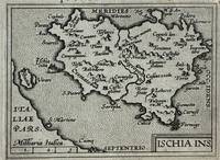
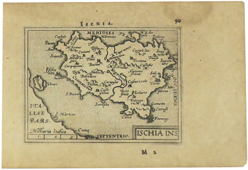
1595327493Antwerp: Philippe Galle 1595. unbound. Miniature map. Uncolored engraving. Image measures 3 1/8" x 4.25".<br/> <br/> Miniature map of Ischia off the coast of Naples detailing the volcanic landscape. From the 1595 pocket edition of Ortelius' "Theatrum Orbis Terrarum" or "Epitome" with text by Pieter Heyns. With Latin text on verso. Small repair to upper margin.<br> <br> Abraham Ortelius 1527--1598 a Flemish cartographer and geographer is widely regarded as one of the important and influential cartographers in history. He is known for his "Theatrum Orbis Terrarum" which was the first modern atlas.<br/> <br/> Philippe Galle unknown
15703370BNetherlands: Publisher Not Known 1570. a very good map 6 x 7"; Abraham Ortelius 1527-98. One of the first and greatest of the Dutch map makers. His "Theatrum Orbis Terrarum" of 1570 is generally considered the first modern Atlas. For this work large copper plates were engraved and from time to time alterations were made in these plates as various editions were issued even as late as 1693-- long after Ortelius' death. These Maps are much favoured by collectors because of a quaint rather archaic quality of drawing. They are exceedingly decorative and careful examination of any one of them will disclose curious little fugures scenes or other decorations. This map is one of these original engravings with nice old colouring. This map will make a nice gift and is quite scarce. First Edition. Softcover. Very Good/No Dustjacket. 6 x 7". Publisher Not Known Paperback
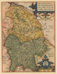
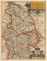
159535925Antwerpen: Platin 1595. In excellent condition. 31 x 235 cm 12.25 x 925 inches. Hand-Colored Original Copperplate Engraving by Abraham Ortelius depicting Braunsvicensis et Luneburgensis Ducatuum Vera Delineat. Published Antwerpen Platin 1595. Sheet: 31 x 235 cm 12.25 x 925 inches. A fine and original hand-colored example of Ortelius's celebrated cartographic work documenting this region of Germany with the precision and decorative artistry characteristic of the 15900s. Abraham Ortelius 1527-1598 was a Flemish cartographer and geographer from Antwerp widely regarded as the creator of the first modern atlas. His landmark publication Theatrum Orbis Terrarum 1570 set the standard for atlas-making for the next century presenting uniform copper-engraved maps with scholarly commentary. By Ortelius's death the Theatrum had appeared in 25 editions in seven languages. In 1575 King Philip II of Spain appointed him Royal Geographer. His maps engraved with extraordinary precision are among the most sought-after in antique cartography held in collections including the Plantin-Moretus Museum in Antwerp the Library of Congress and the British Library.This original copperplate engraving with original hand coloring depicts the region of Braunsvicensis et Luneburgensis Ducatuum Vera Delineat. published in Antwerpen Platin 1595. The map features a decorative Baroque cartouche containing the title inscription. A distance scale is incorporated within the cartouche or alongside it. The map records the political and geographic boundaries of the region as understood in 1595 offering a fascinating window into the history of German territorial organization. Sheet measures 31 x 235 cm 12.25 x 925 inches. In good condition overall with minor signs of age appropriate for a 16th-century engraving. Ready to frame. Broe. 99 Latin text Koeman Ort 28 & 29. Platin unknown
159535923Antwerpen: Platin 1595. In excellent condition. 31 x 235 cm 12.25 x 925 inches. Hand-Colored Original Copperplate Engraving by Abraham Ortelius depicting Braunsvicensis et Luneburgensis Ducatuum Vera Delineat. Published Antwerpen Platin 1595. Sheet: 31 x 235 cm 12.25 x 925 inches. A fine and original hand-colored example of Ortelius's celebrated cartographic work documenting this region of Germany with the precision and decorative artistry characteristic of the 15900s. Abraham Ortelius 1527-1598 was a Flemish cartographer and geographer from Antwerp widely regarded as the creator of the first modern atlas. His landmark publication Theatrum Orbis Terrarum 1570 set the standard for atlas-making for the next century presenting uniform copper-engraved maps with scholarly commentary. By Ortelius's death the Theatrum had appeared in 25 editions in seven languages. In 1575 King Philip II of Spain appointed him Royal Geographer. His maps engraved with extraordinary precision are among the most sought-after in antique cartography held in collections including the Plantin-Moretus Museum in Antwerp the Library of Congress and the British Library.This original copperplate engraving with original hand coloring depicts the region of Braunsvicensis et Luneburgensis Ducatuum Vera Delineat. published in Antwerpen Platin 1595. The map features a decorative Baroque cartouche containing the title inscription. A distance scale is incorporated within the cartouche or alongside it. The map records the political and geographic boundaries of the region as understood in 1595 offering a fascinating window into the history of German territorial organization. Sheet measures 31 x 235 cm 12.25 x 925 inches. In good condition overall with minor signs of age appropriate for a 16th-century engraving. Ready to frame. Broe. 99 Latin text Koeman Ort 28 & 29. Platin unknown
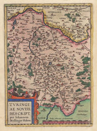
158035928Antwerpen: Platin 1580. In ausgezeichnetem Erhaltungszustand. 29.2 x 207 cm 11.5 x 825 inches. Hand-Colored Original Copperplate Engraving by Abraham Ortelius depicting Turingiae Noviss. Descript. per Iohannem Mellinger Halens. Published Antwerpen Platin 1580. Sheet: 29.2 x 207 cm 11.5 x 825 inches. A fine and original hand-colored example of Ortelius's celebrated cartographic work documenting this region of Germany with the precision and decorative artistry characteristic of the 15800s. Abraham Ortelius 1527-1598 was a Flemish cartographer and geographer from Antwerp widely regarded as the creator of the first modern atlas. His landmark publication Theatrum Orbis Terrarum 1570 set the standard for atlas-making for the next century presenting uniform copper-engraved maps with scholarly commentary. By Ortelius's death the Theatrum had appeared in 25 editions in seven languages. In 1575 King Philip II of Spain appointed him Royal Geographer. His maps engraved with extraordinary precision are among the most sought-after in antique cartography held in collections including the Plantin-Moretus Museum in Antwerp the Library of Congress and the British Library.This plate presents a original copperplate engraving with original hand coloring depicting the city of Turingiae Noviss. Descript. per Iohannem Mellinger Halens. published in Antwerpen Platin 1580. Such topographic views from Ortelius's workshop are primary historical documents of German urban history in the 1500s now prized equally by historians map collectors and interior decorators. Sheet measures 29.2 x 207 cm 11.5 x 825 inches. In good condition overall with minor signs of age appropriate for a 16th-century engraving. Ready to frame. Koeman Ort. 16A; Broe. 96. Platin unknown
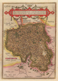
158410309Antwerpen: Platin 1584. In sehr gutem Erhaltungszustand. 31.3 x 223 cm 12.25 x 875 inches. Hand-Colored Original Copperplate Engraving by Abraham Ortelius depicting Waldeccensis Comitatus Descriptio Accuratissima. Published Antwerpen Platin 1584. Sheet: 31.3 x 223 cm 12.25 x 875 inches. A fine and original hand-colored example of Ortelius's celebrated cartographic work documenting this region of Germany with the precision and decorative artistry characteristic of the 15800s. Abraham Ortelius 1527-1598 was a Flemish cartographer and geographer from Antwerp widely regarded as the creator of the first modern atlas. His landmark publication Theatrum Orbis Terrarum 1570 set the standard for atlas-making for the next century presenting uniform copper-engraved maps with scholarly commentary. By Ortelius's death the Theatrum had appeared in 25 editions in seven languages. In 1575 King Philip II of Spain appointed him Royal Geographer. His maps engraved with extraordinary precision are among the most sought-after in antique cartography held in collections including the Plantin-Moretus Museum in Antwerp the Library of Congress and the British Library.This original copperplate engraving with original hand coloring depicts the region of Waldeccensis Comitatus Descriptio Accuratissima published in Antwerpen Platin 1584. The map records the political and geographic boundaries of the region as understood in 1584 offering a fascinating window into the history of German territorial organization. Sheet measures 31.3 x 223 cm 12.25 x 875 inches. Professionally restored; the image area is fully intact and displays well. Retains its original contemporary hand coloring. Ready to frame. Broe. 98 b; Koeman Ort. 21; Platin unknown
1595223506Antwerp: Philippe Galle 1595. unbound. very good. Miniature map. Uncolored engraving. Image measures 3 1/8" x 4.25".<br/><br/> Great miniature map of Ischia off the coast of Naples detailing the volcanic landscape. From the 1595 pocket edition of Ortelius' "Theatrum Orbis Terrarum" or "Epitome" with text by Pieter Heyns. With Latin text on verso. Small tear and chip to upper right light staining to lower margin.<br/><br/> Philippe Galle unknown books
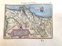
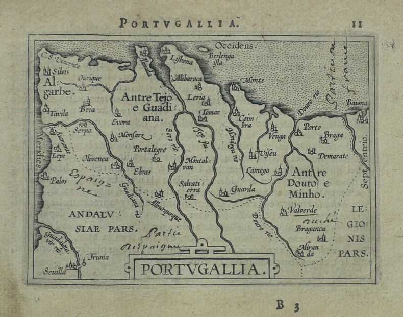
1588M11346Antwerp Belgium c.1588. Very Good. Notes: A miniature map of Portugal.<br>French text on verso. <br>Abraham Ortelius April 1527 – June 1598 was a Flemish cartographer geographer and cosmographer from Antwerp in the Spanish Netherlands. He is recognized as the creator of the first modern atlas the Theatrum Orbis Terrarum Theatre of the World. Along with Gemma Frisius and Gerardus Mercator Ortelius is generally considered one of the founders of the Netherlandish school of cartography and geography. He was a notable figure of this school in its golden age approximately 1570s–1670s and an important geographer of Spain during the age of discovery. The publication of his atlas in 1570 is often considered as the official beginning of the Golden Age of Netherlandish cartography. Size : 78x110 mm 3.07x4.33 Inches Coloring: Hand Colored Category: Maps Europe Portugal; unknown
1587016842: Abraham Ortelius Original 1587 But This A Reprint 1587. 5th or later Edition . No Binding. Near Fine/No Jacket. 19" x 17. Image Size: 18 7/8" X 13 3/4". Text "Cum Privilegio Decennali Ab. Ortelius Delineab. Et Excudeb. 1587" At Lower Right. However This Must Be A Late Eighteenth Century To Twentieth Century Reprint Printed On Wove Paper Sheet Never Placed In An Atlas. Strong Impression And Color Minor Loss Of A Millimeter Depth In A Tiny Area Of Lower Left Margin Otherwise Undamaged. Margins Irregular Up To 1" Deep. Professionally Cleaned And De-Acidified With Archival Materials By A Museum-Experienced Conservator. <br/> <br/> Abraham Ortelius (Original 1587 But This A Reprint) unknown
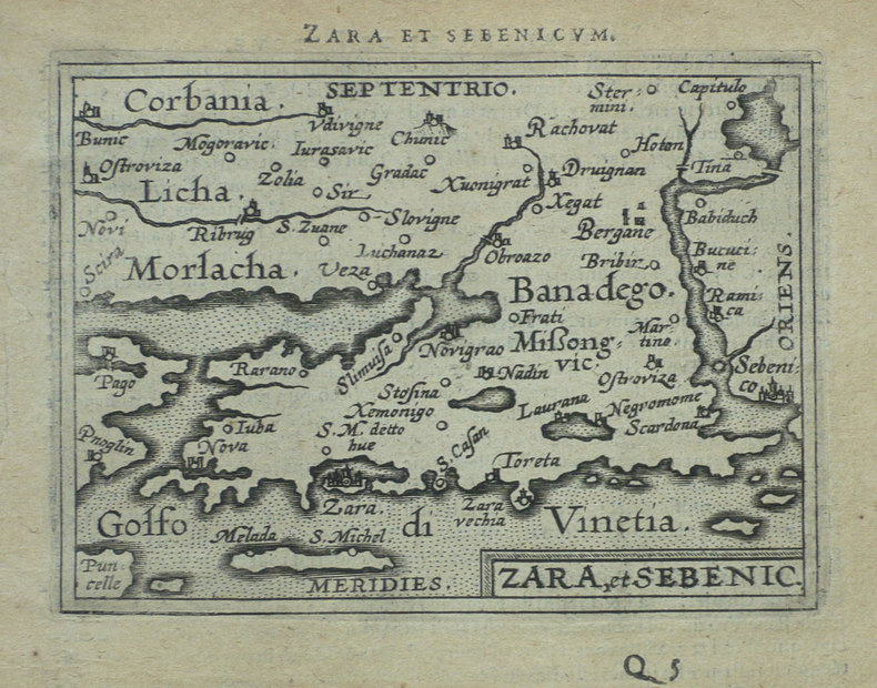
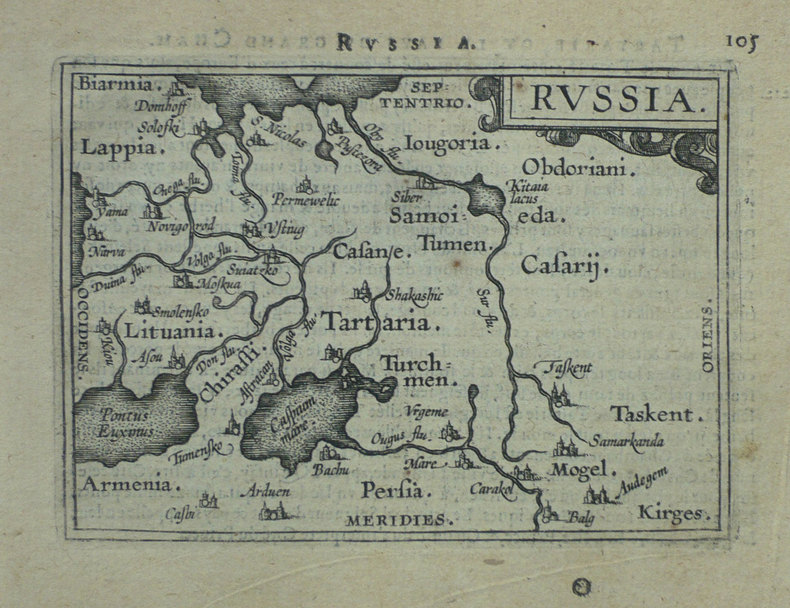
1598LBW-1405[Anvers, 1598]. 82 x 106 mm.
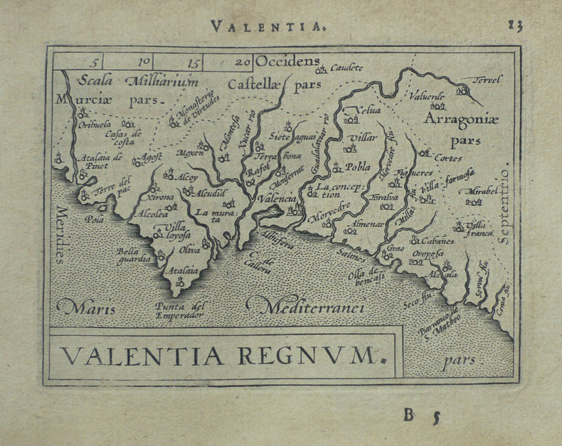
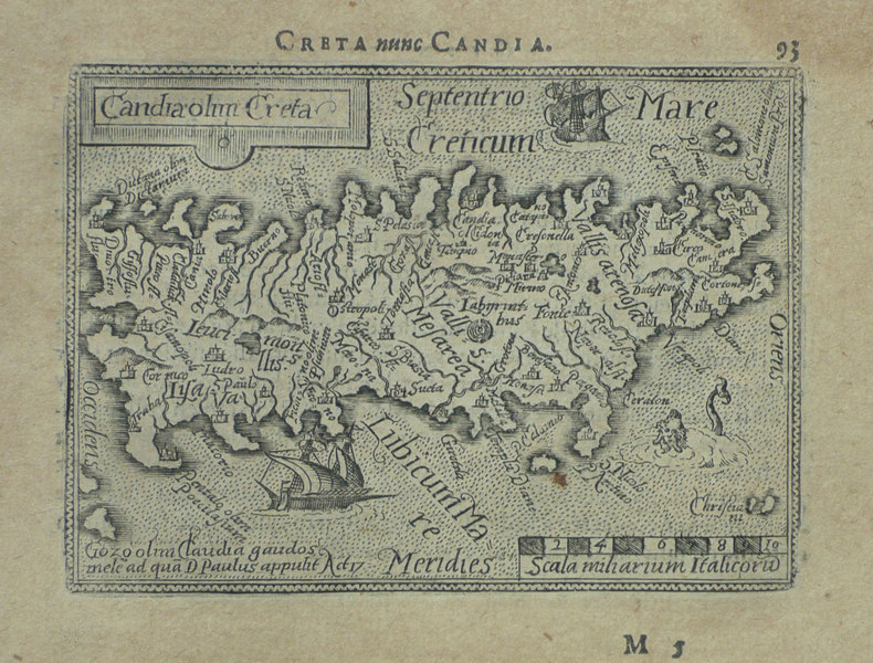
1598LBW-1419Anvers 1598 82 x 106 mm.
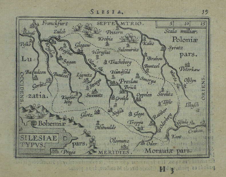
1598LBW-1430Anvers 1598 81 x 105 mm.
1598LBW-1403Anvers 1598 81 x 107 mm.
1598LBW-1391Anvers 1598 81 x 106 mm.
1598LBW-1425Anvers 1598 80 x 105 mm.
1598LBW-1428Anvers 1598 81 x 105 mm.
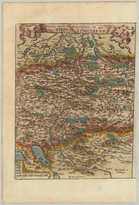
157432793Antwerp: Platin 1574. Other. In excellent condition.which was then in theHabsburg Netherlandsmodern-day Belgium. 340 by 260mm 13½ by 10¼ inches. Original antique copper engraving hand colored in outline and wash when published. Latin text edition. "Tirolis Comitatus" a fine engraved map depicting of the county of Tirol after Wolfgang Lazius published in a 1574 Latin text edition of the "Theatrum Orbis Terrarum" by Abraham Ortelius. Abraham Ortelius published this map between 1573 until 1612 in various editions of his atlas "Theatrum Orbis Terrarum". From this 1574 Latin text edition only 175 copies were published! A fine a decorative 16th century map of Tirol. With many engraved details as some place names rivers mountains lakes small villages and cities. Place names are still engraved as miniature views. At the bottom the "privilegium" and a dedication to Wolfgang Lazius. Ortelius was born on 14 April 1527 in the city of Antwerp which was then in the Habsburg Netherlands modern-day Belgium. The Orthellius family were originally from Augsburg a Free imperial city of the Holy Roman Empire. In 1535 the family had fallen under suspicion of Protestantism. Following the death of Ortelius's father his uncle Jacobus van Meteren returned from religious exile in England to take care of Ortelius. Abraham remained close to his cousin Emanuel van Meteren who would later moved to London. In 1575 he was appointed geographer to the king of Spain Philip II on the recommendation of Arias Montanus who vouched for his orthodoxy. He travelled extensively in Europe and is specifically known to have traveled throughout the Seventeen Provinces; in southern western northern and eastern Germany e.g. 1560 15751576; France 15591560; England and Ireland 1576; and Italy 1578 and perhaps twice or thrice between 1550 and 1558. Beginning as a map-engraver in 1547 he entered the Antwerp Guild of Saint Luke as an illuminator of maps. He supplemented his income trading in books prints and maps and his journeys included yearly visits to the Frankfurt book and print fair where he met Gerardus Mercator in 1554. In 1560 however when travelling with Mercator to Trier Lorraine and Poitiers he seems to have been attracted largely by Mercator's influence towards the career of a scientific geographer. Wikipedia Bibliography: Broe. 116a K/M:62a K:1/89 Platin unknown
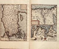
1584686Antwerp: Abraham Ortelius 1584. 19 1/4 x 12 3/4 inches. Very good condition. This is a 4 centuries old map of the Asia Minor area. This is the western most limits of Asia. It is present-day Turkey.with Istanbul Constantinople resting to the left of the map. The map has the east at the top. The second map is Egypt with the nile at center and the delta prominently shown. The remaining map is of Carthage or present day Tunis. Abraham Ortelius unknown
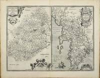
159511327Antwerp 1595. No binding. Very Good. 375 x 505 mm. in very good condition. Abraham Ortelius' map of two French regions. That on the left is the region of Le Mans with the city at the centre. On the right is Brittany and Normandy. The map was first published in the 'Additamentum' to Ortelius' 'Theatrum Orbis Terrarum' of 1595. This example with Spanish text on the verso is from the 1602 edition of the 'Theatrum'. The Le Mans is derived from a map by Matthaeus Ogerius in 1539. That of Brittany and Normandy from various sources but primarily Gerard Mercator's map of 1585. Van der Broecke cites also Bertrand d'Argentre's 1519-90 map of Brittany from 1588 and Lezin Guyet. This is an example of the first state. Abraham Ortelius 1527-98 developed an interest in cartography geography and history at an early age. He began as a 'kaarten afzetter' or illuminator of maps and would purchase single maps from booksellers and colour them for re-sale mounted on linen suitable for wall-hanging. At twenty he was entered in the Guild of St Luke at Antwerp. Ortelius travelled extensively in Europe and maintained regular correspondence with mapmakers historians and scientists acquiring information which was to form his greatest opus the 'Theatrum Orbis Terrarum'. What made the atlas stand out as the first modern atlas was its uniformity. They were produced in a similar style and none of the ancient Ptolemaic maps were included. The atlas was accompanied a catalogue of the authors whose source Ortelius had drawn upon in compiling the work. Without this list many cartographers of the day would remain unknown to us today. From its first appearance in 1570 the 'Theatrum' was far more comprehensive in scope than any contemporary work. In all over forty different editions were published with text in Latin Dutch German French Spanish English or Italian with the maps being frequently revised or replaced. By 1612 when the final edition was published the atlas contained no less than 128 maps. Provenance: private Jersey collection. Broecke 1996 37; Karrow 1993 1/188 & 189; Koeman 1967-70 Ort 28 no. 127. unknown
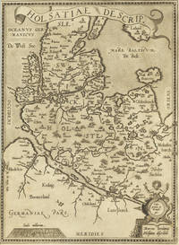
159827467Antwerpen 1598. Other. In excellent condition. 340 by 248mm 13 by 9 inches. Hand-Colored Original Copperplate Engraving by Abraham Ortelius depicting Holsatiae Descrip. Published Antwerpen 1598. Sheet: 340 by 248mm 13 by 9 inches. A fine and original hand-colored example of Ortelius's celebrated cartographic work documenting this region of Germany with the precision and decorative artistry characteristic of the 15900s. Abraham Ortelius 1527-1598 was a Flemish cartographer and geographer from Antwerp widely regarded as the creator of the first modern atlas. His landmark publication Theatrum Orbis Terrarum 1570 set the standard for atlas-making for the next century presenting uniform copper-engraved maps with scholarly commentary. By Ortelius's death the Theatrum had appeared in 25 editions in seven languages. In 1575 King Philip II of Spain appointed him Royal Geographer. His maps engraved with extraordinary precision are among the most sought-after in antique cartography held in collections including the Plantin-Moretus Museum in Antwerp the Library of Congress and the British Library.This original copperplate engraving with original hand coloring depicts the region of Holsatiae Descrip. published in Antwerpen 1598. The map records the political and geographic boundaries of the region as understood in 1598 offering a fascinating window into the history of German territorial organization. Sheet measures 340 by 248mm 13 by 9 inches. In good condition overall with minor signs of age appropriate for a 16th-century engraving. Ready to frame. unknown
15899903Antwerp Plantin 1589. Copper engraving 7.8 x 10.6 cm modern hand colour small wormhole top right Latin text on verso. Miniature map of Morocco. Koeman Atlantes Neerlandici Ort 53 Map unknown
1598LBW-1431[Anvers, 1598]. 80 x 106 mm.
1598LBW-1432Anvers 1598 82 x 106 mm.