30 490 résultats
Bella e rara carta nautica, tratta dal celebre atlante di De Witt ''Orbis Maritimus ofte Zee Atlas", che mostra l'Africa occidentale con le Isole Canarie e Capo Verde nell'Oceano Atlantico. La mappa è dotata di due rose dei venti e battaglie navali. L'immagine della mappa è orientata con il Nord verso l'Est. Cartiglio ricco e dettagliato con titolo in latino, con immagini di nativi e di commercianti occidentali, oltre ad animali del luogo. "Frederick de Wit deve essere considerato uno dei più importanti editori di mappe della seconda metà del XVII secolo. La maggior parte delle sue mappe sono di ottima qualità, sono caratterizzate da un'incisione chiara e bella, dall'attualità e ricchezza dell'immagine cartografica nonché dall'equilibrio delle decorazioni cartografiche". (Lexikon der Kartographie II, p. 899), Koeman M. Wit 1, 27. Koeman, Atlantes Neerlandici, IV, pp.191 e 518-519. Shirley 444. Putnam, Early sea charts, 75.. .
1683901661AGAmsterdam:, Guliemi, 1683. 5 Kupferstiche, jeweils ca 14 x 20 cm, Blattgröße 21,5 x 25 cm.
13360Dimensions : 292 x 262 mm.
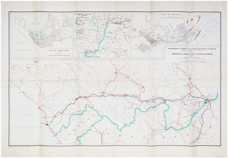
1934LBW-6664Paris, Service Géographique de l'Armée, 1934. 638 x 994 mm.
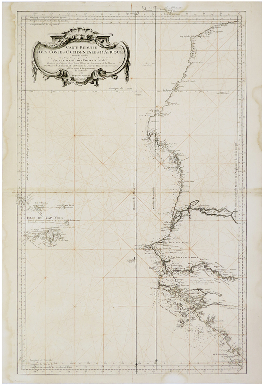
1753LBW-5948Paris, Mr. Bellin, 1753. 885 x 552 mm.
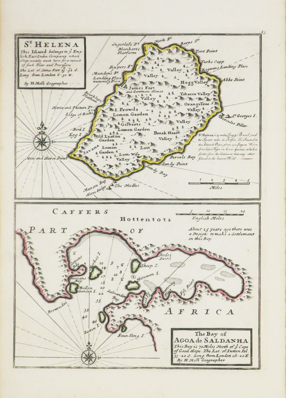
1736LBW-3543[Londres], Thomas and John Bowles, [circa 1736]. 275 x 203 mm.
195212220BBDarmstadt, Neue Damstädter Verlagsanstalt, 1952. Hochformat, 4°, 75 S., mit 97 von 100 eingeklebten farbigen Sammelbildern sowie zahlreichen s/w-Illustrationen im Text, farbig illustr. original Kartonage (Paperback), Erstausgabe untere Rückenkante und drei der Einbandecken geringfügig angerändert/angeplatzt, sonst ein sehr gutes, sauberes, stabiles Exemplar,
Fine Turkish, Ottoman (1500-1928) Original quarter leather bdg. Roy. 8vo. (24 x 16 cm). In Ottoman script (Old Turkish with Arabic letters). 911 p., profusely illustrated with many color and b/w plates, one folded map. Slight marginal foxing and light tears on extremities. Heavy tears on the map, no missing pieces, it needs to be restored. Overall a good copy. Hegira: 1291 = Gregorian: 1874. First and only Turkish edition of this rare and attractively and profusely illustrated book including Schweinfurth's travel account of the African continent, from Central Africa to Egypt, printed in the last Imperial period of the Ottomans. Schweinfurth was a Baltic German botanist and ethnologist who explored East-Central Africa. He was born in Riga, Latvia, then part of the Russian Empire. He was educated at the universities of Heidelberg, Munich, and Berlin (1856-1862), where he particularly devoted himself to botany and paleontology. Commissioned to arrange the collections brought from Sudan by Adalbert von Barnim and Robert Hartmann, his attention was directed to that region, and in 1863 he traveled around the shores of the Red Sea, repeatedly traversed the district between that sea and the Nile, passed on to Khartoum, and returned to Europe in 1866. His researches attracted so much attention that in 1868 the Berlin-based Alexander von Humboldt Foundation entrusted him with an important scientific mission to the interior of East Africa. Starting from Khartoum in January 1869, he went up the White Nile to Bahr-el-Ghazal, and then, with a party of ivory dealers, through the regions inhabited by the Diur (Dyoor), Dinka, Bongo, and Niam-Niam; crossing the Congo-Nile watershed he entered the country of the Mangbetu (Monbuttu) and discovered the river Uele (March 19, 1870), which by its westward flow he knew was independent of the Nile. Schweinfurth formed the conclusion that it belonged to the Chad system, and it was several years before its connection with the Congo was demonstrated. The discovery of the Uele was Schweinfurth's greatest geographical achievement, though he did much to elucidate the hydrography of the Bahr-el-Ghazal system. Of greater importance were the very considerable additions he made to the knowledge of the inhabitants and of the flora and fauna of Central Africa. He described in detail the cannibalistic practices of the Mangbetu, and his discovery of the pygmy Aka people settled conclusively the question as to the existence of dwarf races in tropical Africa. Unfortunately, a December 1870 fire in his camp destroyed nearly all that he had collected. He returned to Khartoum in July 1871 and published an account of the expedition, under the title of Im Herzen von Afrika (Leipzig, 1874; English edition, The Heart of Africa, 1873, new ed. 1878). In 1873-1874 he accompanied Friedrich Gerhard Rohlfs in his expedition into the Libyan Desert. Settling at Cairo in 1875, he founded a geographical society, under the auspices of the Khedive Ismail, and devoted himself almost exclusively to historical and ethnographic African studies. In 1876, he traveled into the Arabian Desert with Paul Güssfeldt, and continued his explorations therein at intervals until 1888, and during the same period made geological and botanical investigations in the Fayum, in the valley of the Nile. In 1889 he returned to Berlin; but he visited the Italian colony of Eritrea in 1891, 1892, and 1894. Schweinfurth died in Berlin. The accounts of all his travels and researches have appeared either in book or pamphlet form or in periodicals, such as Petermanns Mitteilungen, the Zeitschrift für Erdkunde. Among his works may be mentioned Artes Africanae; Illustrations and Descriptions of Productions of the Industrial Arts of Central African Tribes (1875). Özege 19040.
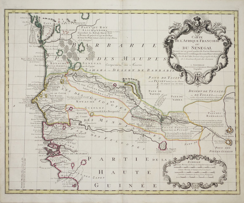
1726LBW-3179Amsterdam, Jean Covens et Corneille Mortier, [1726-1730]. 493 x 620 mm.
1830LBW-8071[circa 1830]. 307 x 436 mm.
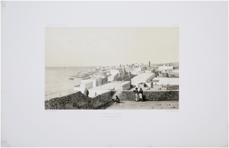
1856LBW-8058Paris, Arthus Bertrand, [1856-1857]. 225 x 420 mm.
1856LBW-8030Paris, Arthus Bertrand, [1856-1857]. 235 x 325 mm.
Very Good English Original wrappers. Foolscap 8vo. (18,5 x 12 cm). In English. 72 p., b/w ills. and one map. Slight toning on cover and extremities of pages. First and only edition of this richly illustrated 1930s book describing the manufacturers, geography, economy, railways, etc. of South Africa. "This little book does not pretend to be a complete Geography of South Africa. In particular, all accounts of South African manufacturers, and of life in cities, are purposely omitted. We have confined ourselves mainly to basic occupations which are the outcome of the physical characteristics of the country, and on which the economic life of South Africa is built up. Most of the illustrations are from photographs belonging to the South African Railways. We are grateful to the 1820 Memorial Settlers' Association for the free loan of some of these, and to the High Commissioner for South Africa for the loan of others." (From the preface of authors). 5 copies in OCLC: 41090515.
Incisione in rame su doppio foglio (mm 436x549) con bellissima colorazione coeva, verso velato da finissimo foglio di carta Giappone. Bella e rara carta nautica, tratta dal celebre atlante di De Witt ''Orbis Maritimus ofte Zee Atlas", della costa atlantica meridionale dell'Africa. Nel cartiglio titolo in latino e olandese: a sinistra un gruppo di europei che conducono negoziati commerciali. Al centro, tre leoni, un leopardo e un serpente dividono il cartiglio. Sulla destra due nativi. In basso a destra della carta nautica sono rappresentati Nettuno e una figura femminile, trainati su un carro da tre cavalli. La costa presenta molte insenature e l'isola di S. Elena Nuova è un po' più a sud del solito. "Frederick de Wit deve essere considerato uno dei più importanti editori di mappe della seconda metà del XVII secolo. La maggior parte delle sue mappe sono di ottima qualità, sono caratterizzate da un'incisione chiara e bella, dall'attualità e ricchezza dell'immagine cartografica nonché dall'equilibrio delle decorazioni cartografiche". (Lexikon der Kartographie II, p. 899), Koeman M. Wit 1, 27. Koeman, Atlantes Neerlandici, IV, pp.191 e 518-519. Shirley 444. Putnam, Early sea charts, 75.. .
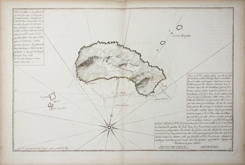
LBW-9026[XVIIIe siècle]. 375 x 340 mm, sur une feuille de 535 x 430 mm.
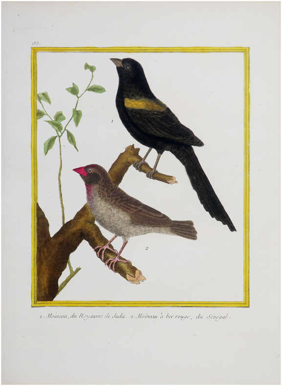
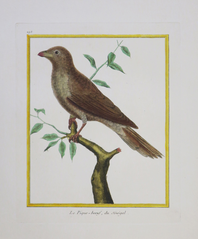
1771LBW-8275[Paris, 1771-1786]. 230 x 178 mm.
1771LBW-4345[Paris, 1771-1786]. 229 x 180 mm.
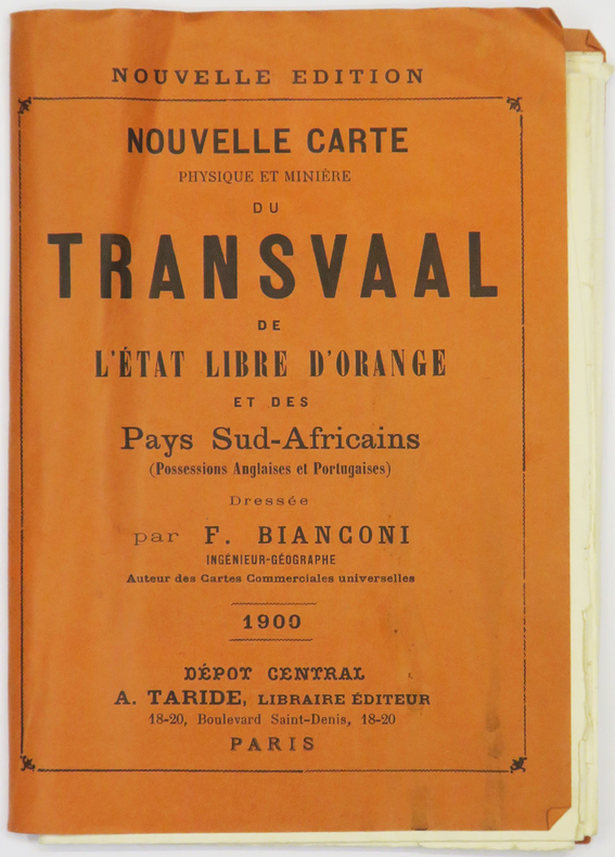
1900LBW-5347Paris, Taride, 1900. 745 x 671 mm, repliée et montée dans une couverture de papier rouge.
LBW01b45[circa 1730]. 299 x 457 mm.
1855LBW-8603[Paris], Dépôt-Général de la Marine, 1855. 445 x 616 mm.
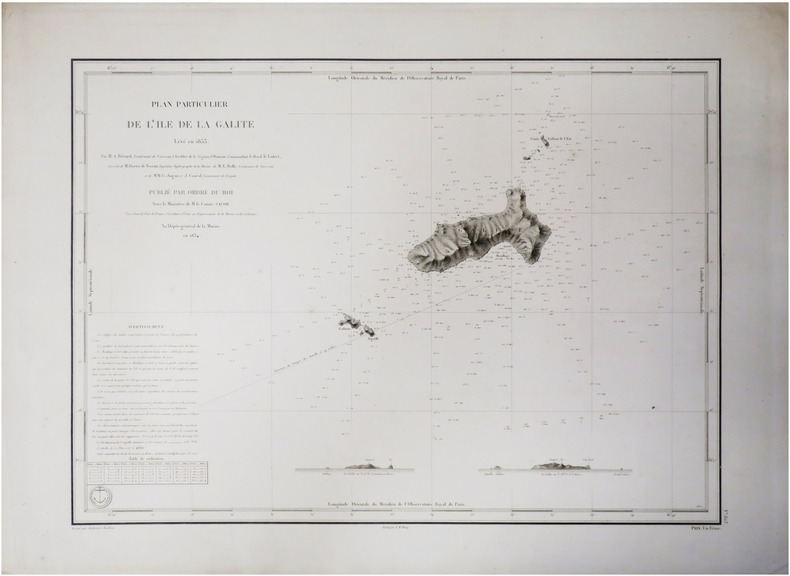
1834LBW-8665[Paris], Dépôt-Général de la Marine, 1834. 432 x 590 mm.
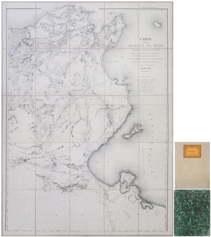
1857LBW-8912Paris, Dépôt de la Guerre, 1857-1884. En 25 sections montées sur toile et repliées, formant une carte de 1,31 x 0,98 m ; étiquette au dos du papetier et relieur nancéen René Wiener ; sous chemise et étui de papier marbré vert de l'époque.
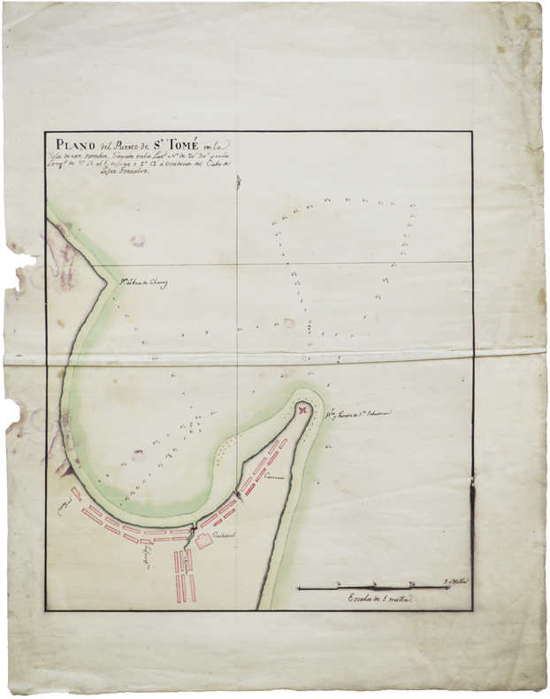
1860LBW-7647[vers 1860]. Aquarelle originale sur papier (17 x 26 cm).
LBW024b6[circa 1760]. 202 x 265 mm.