BURGUES DE MISSIESSY Édouard-Jacques, comte de.Livre Rare Book
DESMARQUETS (Jean Antoine Samson)Livre Rare Book
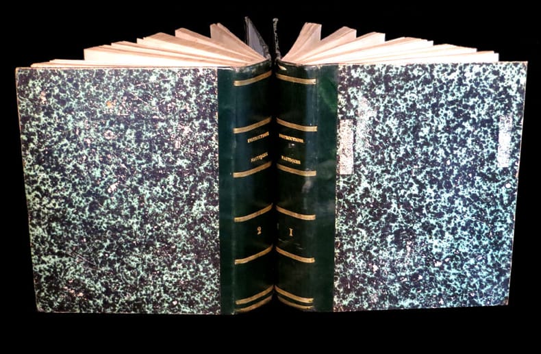
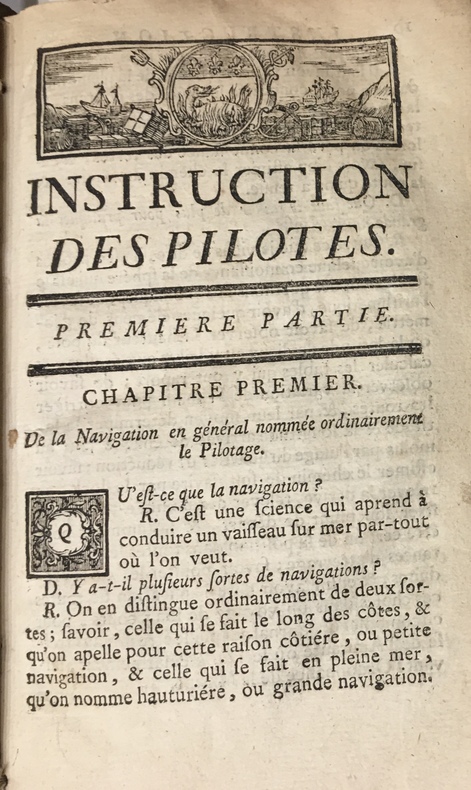
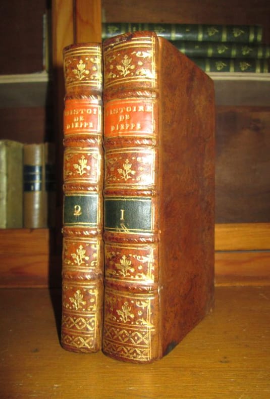
Mémoires chronologiques pour servir à l'histoire de Dieppe, et à celle de la navigation françoise, avec un recueil abrégé des privilèges de cette ville.- 2 tomes
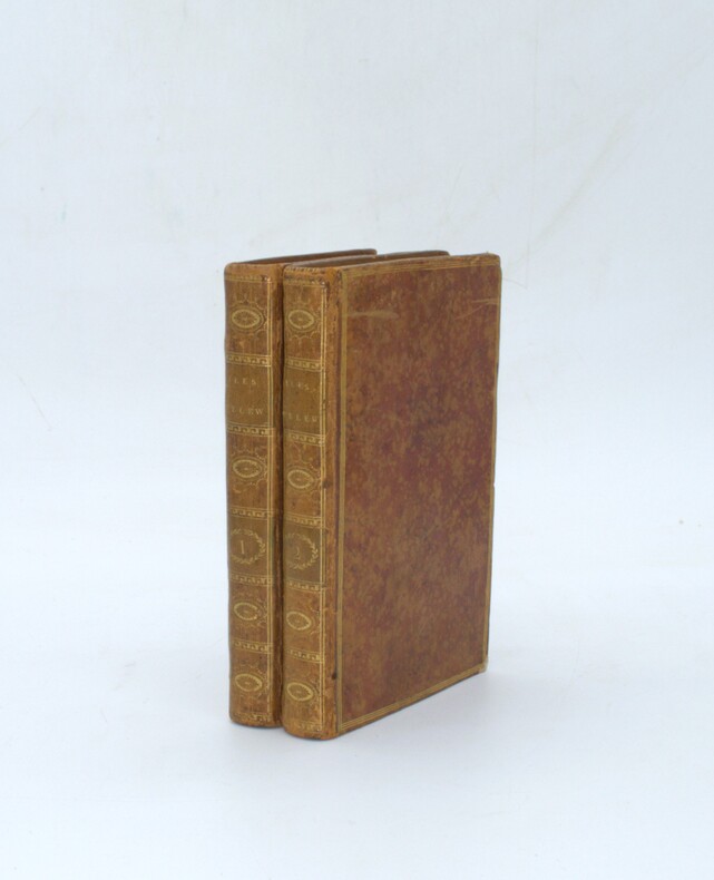
178531553Paris chez Desauges, Rouen chez Racine, Dieppe chez Dubuc, 1785. EDITION ORIGINALE.- 2 volumes in-12 reliés plein veau raciné de l'époque (17 x 10 cm), dos à nerfs avec fleurons dans les caissons, pièces de titre rouge et vert, titre doré, 480 & 309 pages.- Histoire ancienne de Dieppe depuis 912 et les Romains, jusqu'au XVIIIe siècle.- Ouvrage peu commun, contenant un important chapitre relatif au Canada et aux premiers établissements des dieppois au Canada. Desmarquets, inspecteur des eaux et forêts d'Arques, né à Dieppe en 1722 et mort en 1809. Cet ouvrage, écrit sur des matériaux authentiques et qui n'existent plus, renferme des particularités intéressantes et peu connues, sur les découvertes géographiques des navigateurs dieppois dans les XV et XVIème siècle et notamment au Canada. Deux coins frottés, sinon très bel état de ces ouvrages, rares par ailleurs et complet en deux volumes. Intérieur très frais également.
Déjà Jadis · Fréjus, France500,00 €