Electronic Navigation Research InstituteBiblio.com

3 550 résultats
43205438-nnew. unknown
20162-4431563318Springer 2016. Paperback. New. reprint edition. 260 pages. 9.25x6.10x0.62 inches. Springer paperback
New English Original cloth bdg. In publisher's special slip-case. Oblong large 4to. (33 x 34 cm). 264 p., ills. Hidden cultural treasures of Islamic civilization come to light. A book from a qualified name Prof. Fuat Sezgin. Islamic civilization is a journey full of hidden scientific history. Modern man knows the Arab-Islamic culture around the true meaning of universal history of science very little. Islamic civilization is a valuable work which has been collected from the German five-volume "Wissenchaft und Technik im Islam" s translation and describes astronomy, geography and maritime studies. Prof. Fuat Sezgin's a reflection of the long years of research and studies. This book is a real source of reference that will be to keep in the library's most special point.
171959230Washington D.C.: Government Printing Office Hydrographic Office U.S. Navy 1917; 1930. Two vols. 8vo. ix 1 4 364 pp.; 19 mimeograph leaves. With 2 large folding colour map. First vol. in black publisher’s buckram silver lettering stamped on front cover & spine minor shelfwear slight interior toning shelfwear 2nd vol. mimeographed typescript & stapled at gutter margin minor dustsoiling edgewear predation to lower fore-edge tear to last leaf of blank lower portion still a VG set. First editions of these coast pilot guides to Arctic waters during and after World War I issued about the time of the Russian Revolution and offered key navigational guides for Naval forces during the ill-fated White Russia Revolution and over 13000 troops in the Polar Bear Expedition. Prior to modern GPS systems and satellite navigation these regularly updated and revised navigation handbooks provided key sailing instructions often drawing not only from Russian & British sources but also sailing reports from U.S. Navy vessels and those from merchant ships. The two maps serve as indexes to sailing charts to be ordered from the Hydrographic Office and keyed to sailing instructions within the coast pilots. The supplement is uncommon no copies located in Worldcat. Government Printing Office, Hydrographic Office, U.S. Navy, hardcover
192059237Washington D.C.: Government Printing Office Hydrographic Office U.S. Navy 1920-1940. Five vols. 8vo. vi 638; v 1 287 1; 8 390 pp.; 1; 2 17 1 leaves. With 5 large folding colour maps numerous plates showing elevations. Three volumes uniformly bound in blue publisher’s buckram gilt lettering front cover & spine darkening to spines fore-edges minor shelfwear dustsoiling slightly shaken Supplements in self-printed softcovers edgewear toning to fore-edges minor chipping still VG- set. Third editions revised & updated of vols. I & II second edition of vol. II and 1st editions of both scarce Supplements of these coast pilot guides to British Columbia including lower Alaska and upper Washington in the years between the World Wars. Prior to modern GPS systems and satellite navigation these regularly updated and revised navigation handbooks provided key sailing instructions often drawing not only from Brazilian Argentine and British coast pilots as well as sailing reports from U.S. Navy vessels and those from merchant ships. The first large map delineates the requisite coast pilots for sailing in B.C. waters and charts to be ordered from the Hydrographic Office while the second maps depict the sailing routes to Asia the Soviet Union and the Arctic across the Pacific. Both editions of Vol. II are offered here with the expanded 3rd edition featuring nearly double the material and extra map of the 2nd. Government Printing Office, Hydrographic Office, U.S. Navy, paperback
190818754Helsingfors, Hufvudstadsbladet, 1908. 53 p. with numerous photographical and schematic illustrations, 2 foldable maps. 4° (24 x 32 cm), original wrappers with decorative illustration on front cover. The boards especially on the back slightly defective.
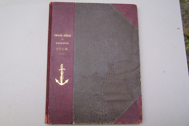
H132Lyon-Paris, Imprimerie Arnaud, 1914. In-folio, 15pp., 40 planches h.t. de matériel navigant, cartonnage éditeur.
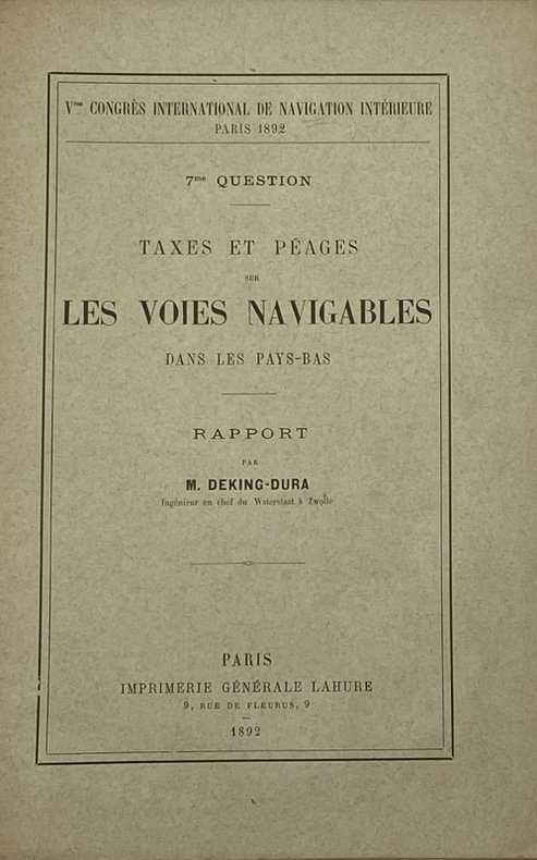
232083Paris, Imprimerie générale Lahure, 1892 15 fascicules in-8, brochés sous chemise demi-basane fauve, pièce de titre cerise, table des pièces contrecollée sur le premier contreplat (reliure de l'époque). Chemise défraîchie.
212482Paris, Flammarion, 1910 gr. in-8, VII-428 pp., nombreuses illustrations et reproductions de photos (dont certaines en pleine page) in-t., 3 cartes dépl. h.-t., demi-chagrin vert, dos lisse orné, tête dorée, couv. ill. cons. (rel. de l'éditeur). Dos passé.
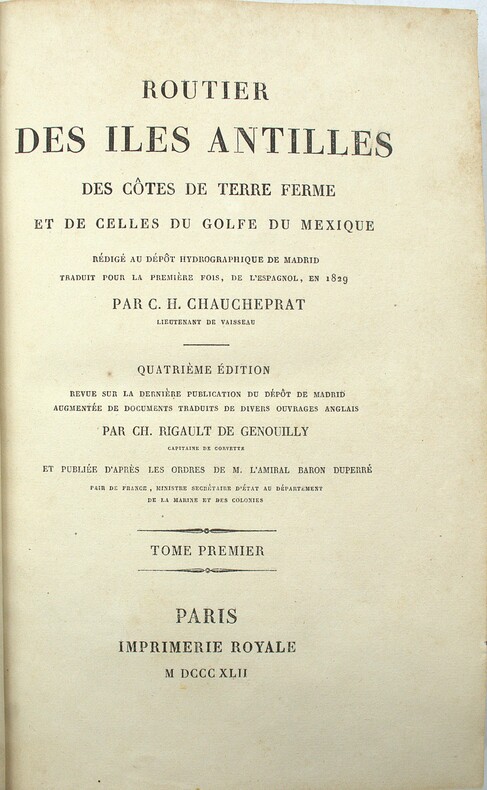
1842PHO-2031Paris, Imprimerie Royale, 1842, 2 volumes in-8 (23x15cm), 1f.-XXII-595pp. & XVI-581pp., demi veau époque, dos lisse avec titre et tomaison, frottements et épidermures, débuts de fentes, accrocs aux coiffes, coins usés, quelques rousseurs.
30475Paris, imp. de Beaucé-Rusand, 1825 - in-4, reliure cartonnée pleine toile verte, 56 pages, plan en couleurs + calque remplié in fine (La Garonne du côté du Médoc et de Blaye) - Cet écrit, communiqué par les propriétaires du Haut-Médoc au Préfet de la Gironde en 1824 et à la Chambre de Commerce de Bordeaux en 1825, fut également adressé au Directeur-général des Ponts et Chaussées et des Mines. Il s'agit d'un mémoire dont le but, atteint, fut de repousser un projet de digues destinées à rétrécir l'embouchure de la Garonne, et de fixer un nouveau projet de construction afin d'améliorer la navigation de la Garonne et l'entrée du port de Bordeaux. - Document rare, Bon état, manques aux coiffes supérieures et inférieures, bords frottés, qqs rousseurs in texte.
18535771Paris Furne et Cie 1853 GRAND In-8 XI+550+542 pp, dos à 4 nerfs ornés de 3 fers dorés ; tome 1 : frontispice, 22 planches de gravures hors-texte, 1 carte couleur dépliante en fin de volume ; tome 2 : frontispice, 22 planches de gravures hors-texte dont une carte dépliante. épidermures avec très légers manques sur dos, coiffes et mors frottés sur les deux volumes, rousseurs éparses. Indes, Chine, Japon, Australie, Afrique, Amériques.
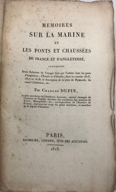
229918Paris, Bachelier [Imprimerie de Fain], 1818 in-8, [4] ff. n. ch. (faux-titre & titre, dédicace à Prony), XIV pp., 468 pp., broché sous couverture d'attente de papier rose. Dos défraîchi, des piqûres.
In-4°; pp. 24, (2) 1 cb, un rame al frontespizio, due bei capilettera figurati, un finalino e una testatina (Gabbuggiani) incisi su rame. Per foenus nauticum si intendeva nel commercio marittimo il negozio in cui i creditori si assumevano il per le perdite fortuite, pattuendo interessi elevati; veniva anche chiamata usura maritima. Senza legatura; piccolo timbro a inchiostro di libreria al frontespizio.
1874TECH0652Bln., Ernst & Korn 1873 u. 1874. VI, 399 S.; VI, 415 S.; die beiden (Folio) Atlasbände enthalten die Tafeln XII - XXVII und IL - LVIII; HLdr. d. Zt. m. Buntpapierbezug u. vgldt. Rückentitelpräg., alle Bände berieben, leicht bestoß. mit Inst.-Stemp., hs. Einträge auf Vors. u. Tit., ein kl. Einriß am Innentit. v. Bd. 2. Handbuch der Wasserbaukunst. Zweiter Theil: Die Ströme. - Der Inhalt: Anordnung u. Ausführung der Strombauten. Stau-Anlagen. Vertiefung des Fahrwassers. Schiffsschleusen (Fortsetzung) u. eigentümliche Schiffsschleusen. Kanäle u. Eindeichungen.
1727P2-2C-4Paris, Chez Antoine-Urbain Coustelier, 1727. Un volume in-8 relié plein veau marbré, 17ff.n.c. (page de titre, Table des Chapitres)-400 pp.-35 ff.n.c. (Table des Matières), dos orné de fleurons doré, tranches marbrées, reliure usagée, coins émoussés, intérieur frais, mouillure claire à un coin sur une 50 pp. environ.
1789P1-2LBasil, Tourneisen, 1789. In-8 (210x130mm), relié pleine basane époque, dos orné, pièce de titre, liseré or sur les plats, XVI-381pp. Grandes marges, , petits manques au plat . La relation se compose en partie d’entretiens avec Henry Wilson, capitaine de « Antelope » qui fut naufragé en août 1883 sur un récif près de Kotor.
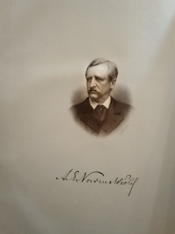
1883WOC-2661Accompagné d'un résumé des voyages précédemment effectués le Long des Côtes Septentrionales de l'Ancien Continent. Ouvrage traduit du Suédois avec l'autorisation de l'auteur par MM. Charles Rabot (Membre de la Société de Géographie de Paris) et Charles Lallemand (Ingénieur au Corps des Mines). Contenant 293 gravures sur bois, 3 gravures sur acier et 18 cartes. Paris, Librairie Hachettes et Cie, 1883-1885. 2 volumes in-4 (28,5x3,5x20cm) reliés demi chagrin brun à coins, dos petits nerfs ornés de caissons dorés, double filets sur les plats, têtes dorées (reliure d'époques). [2]ff. n. ch., IV,481pp. + [2]ff. n.ch., 278pp.
18356004Paris, Carilian-Goeury, 1835. 8vo. (20,3 x 12,5 cm). 19 S. Bibl.-Leinwandband d. Zt. mit goldgprägtem Titel u. Bibl.-Supralibros auf dem Vorderdeckel.
59127Neuchâtel Verlag Baconnière 1947 Auflage: 1. Leinen gebunden; blaue goldgeprägte Einbände / 3 Bände / Anz. Seiten: 278 35 144 / 225 x 305 cm / mit 35 ausfaltbaren Tafeln Schemata und Karten Bd. 2; 8 Schemata und 4 Karten 2 davon ausfaltbar Bd. 3 / Zustand: gut geringe bis leichte Gebrauchsspuren; Einbände gering fleckig Bd. 1 Bd. 3 fleckig Bd. 2 Rücken leicht gebräunt Schnitt mässig stockfleckig und etwas gebräunt Vorsatz bis Vortitel leicht fleckig Bd. 1 Mit Widmung des Direktors der Zellulosefabrik Attisholz sowie beiligendem Brief; Inhalt: Band 1: Technischer Generalbericht bearbeitet von Ing. H. Blattner Leiter der Studien Genfersee-Rhein: Allgemeines; Die Technischen Studien; Zusammenstellung der Gesamtkosten; Allgemeine Betrachtungen und Bemerkungen zu den technischen Ergebnissen der Projekte; Die technischen Schlussfolgerungen; Band 2: Tafelbeilagen; Band 3: Bericht über die volkswirtschaftliche und wirtschaftliche Beurteilung einer Schiffahrtsverbindung Genfersee-Rhein: Allgemeine Übersichtspläne; Projektabschnitt I Entreroches-Kanal; Projektabschnitt III Bielersee-Aaremündung in den Rhein; Graphische Fahrpläne Aarau - Aarwangen-Wynau - Bernerschachen - Beznau - Binnenschiffahrt - Brugg-Lauffohr - Eclépens-Orbe - Genfersee-Vufflens-la-Ville - Jura-Seen - Klein-Aarwangen - Klingnau - Olten-Gösgen - Orbe-Yverdon - Rüchlig - Rupperswil-Auenstein - Staustufen - Vufflens-la-Ville-Eclépens-Orbe - Wildegg-Brugg - Wynau-Olten Neuchâtel, Verlag Baconnière, 1947, Auflage: 1. unknown
4986Rochefort, Faye, 1765. Un volume in-8° plein veau (reliure postérieure), dos à nerfs sobre, titre doré, [1f.]bl., [1f.]faux-titre, [1f.]titre, [3ff.], 99 pages chiffrées, 261 ff. (non paginés) de tableaux, erratum. Suivi de: Tarif des proportions que doivent avoir les bois de construction, Arrêté à Brest le premier Décembre 1718. Rochefort, Faye, 1765. [1f.]titre, [3ff.], 4pl. Légères épidermures, légers manques à un coin et en queue. Bon exemplaire, intérieur frais.
224488Paris, A. Marescq aîné, 1880 in-8, [2] ff. n. ch., VII pp., 320 pp., demi-chagrin marine, dos à nerfs, tranches peigne jaspées (reliure de l'époque).
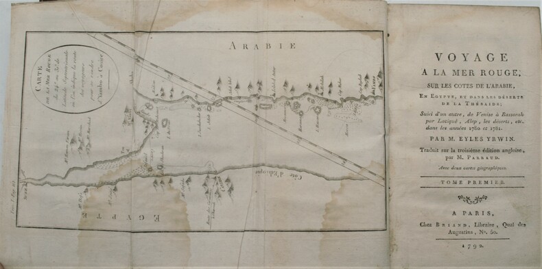
1792PHO-1241Chez Briand, à Paris 1792, 2 tomes en 2 Vol. in-8 (13,5x21,8cm), (2) vj, 440pp. et (2) 483pp., relié plein basane tacheté , dos lisse orné avec pièces de titre et tomaison vertes , ex-libris manuscrit , coiffes et coins usés , charnières fendues , vieilles mouillures avec quelques traces .
192759236Washington D.C.: Government Printing Office Hydrographic Office U.S. Navy 1927-1930. Three vols. 8vo. x 4 550; viii 4 560 pp.; 1 17 2 leaves. With 4 large folding colour maps 1 w/ toning at fore-edge from being improperly folded some edgewear numerous plates showing lighthouses. Two volumes uniformly bound in red publisher’s cloth gilt lettering front cover & spine darkening to spine fore-edges minor shelfwear dustsoiling minor paint drip at fore-edge 1 vol. Supplement in self-printed softcovers edgewear toning to fore-edges minor predation still VG- set. Third editions revised & updated of vols. I & II first edition of scarce Supplement of these coast pilot guides to South America and Antarctica in the 1920’s. Prior to modern GPS systems and satellite navigation these regularly updated and revised navigation handbooks provided key sailing instructions often drawing not only from Brazilian Argentine and British coast pilots as well as sailing reports from U.S. Navy vessels and those from merchant ships. The first large map delineates the requisite coast pilots for sailing in American waters and charts to be ordered from the Hydrographic Office while the second maps depict the sailing routes. The expanded 3rd edition is quite scarce with 1 copy located of both vols. in Worldcat NYPL. Government Printing Office, Hydrographic Office, U.S. Navy, paperback
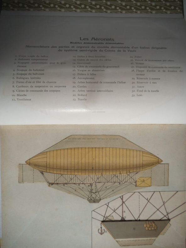
11555In 4 , reliure éditeur pleine toile verte- dirigeable et titre en blanc sur le premier plat, titre en blanc au dos. Faux-titre, titre, 72 pages sur papier couché, nombreuses illustrations et gravures. Complet des 6 modèles descriptifs entièrement démontables. Les aéronats- l’aéroplane WRIGHT- l’aéroplane voisin Paris Librairie Commerciale Aristide QUILLET éditeur 1910. Très bon état proche de l’état de neuf.