1 884 résultats
Mm 160x235 Prima edizione - Volume rilegato in tela verde con titolo in oro al dorso, xiv-386 pagine con ricco apparato iconografico in nero nel testo e tavole fuori testo, tra incisioni e carte geografiche speciali. Qualche traccia di umidità alle carte e altri ordinari segni del tempo, nel complesso esemplare ben conservato. SPEDIZIONE IN 24 ORE DALLA CONFERMA DELL'ORDINE.
Austria Sound Sketch Survey by Lieutenant Frederick C.C. Pasco, and the Officers of H.M. Surveying Ship "Dart" 1902. In the lower part of the chart insert of Allardyce Harbour Sketch Survey by Lieut. F.C.C. Pasco, & the Officers of H.M. Surveying Ship "Dart" 1902. London Published at the Admiralty, 8th Oct. 1904, under the Superintendence of Captain A. Mostyn Field, Hydrographer. Small corrections: 1919. Autore: Admiralty Charts. Luogo: Austria Sound Salomon islands. Anno: '900. Tecnica: incisione. Dimensioni: 484x656 mm
VLE-101Tours, Mame, 1893, in-4, 398pp. illustrées de 200 dessins in et hors-texte de R.T. Pritchett. Rousseurs relié plein cartonnage éditeur polychrome richement décoré, tranches dorées
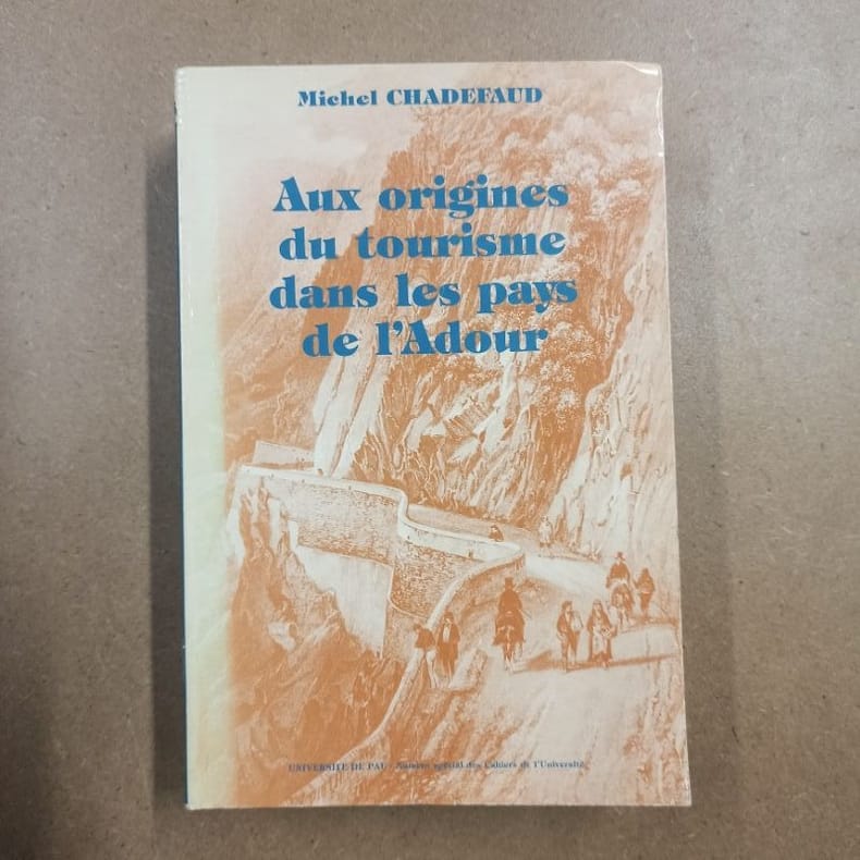
19885791988 - broché - Publication de l'Université de Pau - Numéro spécial des Cahiers de l'Université - Département de géographie et d'aménagement de l'Université de Pau et des Pays de L'Adour - Centre de recherche sur l'impact socio-spatial de l'aménagement (C.N.R.S.) - 1988 - Fort in-8 (24 x 16 cm) broché - 1010 pages - Photographies et illustrations en noir et blanc - ISBN : 2-906483-09-5 - Ouvrage sous titré : "Aux origines du tourisme dans les Pays de l'Adour. Du mythe à l'espace : un essai de géographie historique
1969yam0081in-8 broché en bon état Bords un peu salis Lectures missionnaires illustré de qqes photos en noir et blanc de timbres
OCE126MLes Grandes Aventures. In-8, relié, demi toile aux coins, 403pp. Édition illustrée de gravures in texte en noir. Vignette de sommaire amateur sur garde. Légère désolidarisation des dernières pages. Exemplaire frotté mais satisfaisant
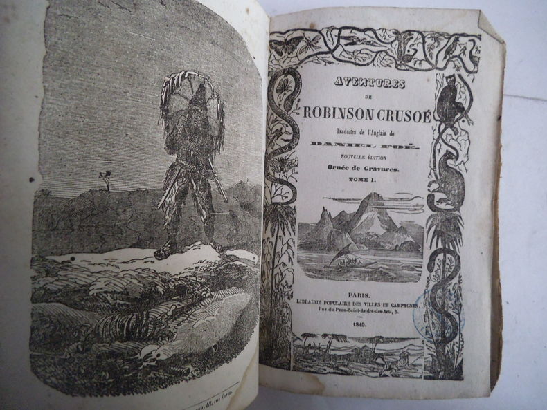
10506nouvelle édition. 2 tomes en 2 volumes in 12 brochés. Couverture jaune illustrée Tome premier : frontispice, titre illustré, 231 pages, 1 page de table. Time second : frontispice, titre illustré, 208 pages. Mouillure triangulaire en page inférieure de la page 203 à la page 208. Paris Librairie Populaire des villes et campagnes 1849. Timbre de colportage. Traces de manipulations. Peu courant. Dans l’état
M10901Jaquette Couverture rigide P, Pensée moderne , 1958 , in8 br , jaquette , non coupé, 208pp , illustrations hors texte , cachet Langue: Français
Features: Airlines Today; F-15 Anatomy; The Israeli Lion - An outline of what will be the I.A.I. Arye (article with colour illustrations); The Phantom II Legend; Rotterdam Naval Technology Expo; The Pacific Ocean Today; Western Pacific Air Forces; 18 Navies to One Ocean; Additional illustrated stories. Clean and unmarked with light wear. Quality copy. Book
OCE167MEditions de la Nouvelle Revue Critique La Vie d'Aujourd'hui, 1932. Petit in-8, broché, 253pp. Premières pages non coupées. Dos cassé. Bon exemplaire
OCE120MJ. Ferenczi et fils, Paris, 1926. In-12, reliure amateur, demi-dos toilé rouge lisse, pièce de titre noire avec filets, 236pp. Un des 10 exemplaires de ce tirage. Intérieur bon. Toilé émoussé. Exemplaire satisfaisant
13990Montpellier, imp. Jean Martel, 1847, 1 br. in-8 de 104 pp., exemplaire à pleines marges ;
16154Paris, Société Continentale d'Editions Modernes Illustrées, 1973. 17 x 24, 354 pp., 111 photographies hors texte, 8 planches hors texte en couleurs, 20 cartes et croquis dans le texte, cartonnage d'édition + jaquette, très bon état.
1990232367PN. New. 1990. Soft Cover. Date is original print. This is a reprint edition . PN paperback
1991247452PN. New. 1991. Soft Cover. Date is original print. This is a reprint edition . PN paperback
Bauro or San Cristoval Island Surveyed by Lieutenant C.F. Oldham, assisted by Lieutenants Alex Leeper, C.F. de M. Malan, and T.H. Heming, H.M. Surveying ship "Lark" 1883-4. The Southern and Western coasts from sketch surveys made in 1793, 1855, & 1867. In the upper right corner of the chart insert of Wango Bay Sketch survey by Lieut. C.A. Buckland, H.M.S. "Royalist" 1892, Marunga Harbour Sketch survey by M.r T.H. Switzer, Master S.S. "Roderick Dhu" 1900, Star Harbour Sketch survey by M.r T.H. Switzer, Master S.S. "Roderick Dhu" 1900, London Published at the Admiralty, 19th April 1892, under the Superintendence of Captain W.J.L. Wharton, Hydrographer. Small corrections: 1921. Folded editorially. Autore: Admiralty Charts. Luogo: Bauro or San Cristoval Island - Salomon Islands - Pacific Ocean. Anno: '900. Tecnica: incisione. Dimensioni: 649x985 mm
0595357393.Gpaperback. Good. Access codes and supplements are not guaranteed with used items. May be an ex-library book. paperback
200362088spzU.S. Department of Commerce National Oceanic and Atmospheric Administration 2003-01-01. Spiral-bound. Good. Ex-reference library copy with library labels and stampings on cover. Oversized 17" x 11" wire-coil-bound paperback. Includes detailed color benthic habitat maps. U.S. Department of Commerce, National Oceanic and Atmospheric Administration unknown
1950LFA-126724498Une revue de 24 pages, format 150 x 230 mm, illustrée, brochée, publiée en 1950, bon état
1951LFA-126724552Une revue de 24 pages, format 150 x 230 mm, illustrée, brochée, publiée en 1951, bon état
1981142574Couverture souple. Brochure de 40 pages.
1993143680Couverture souple. Brochure de 48 pages.
1981144791Couverture souple. Brochure de 40 pages.
2000142323Couverture souple. Brochure de 32 pages.