11 983 résultats
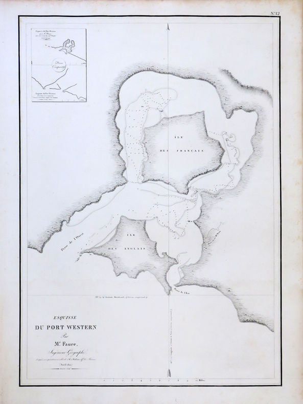
LBW-4393[Paris, 1826]. 510 x 346 mm.
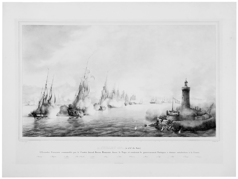
1826LBW-4971[Paris, 1826]. 503 x 763 mm.
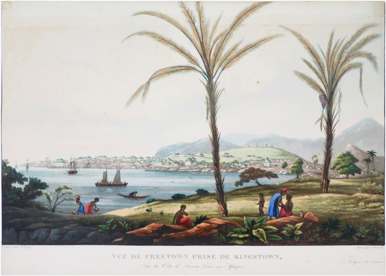
LBW-3957[1812]. 492 x 344 mm.
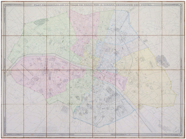
1844LBW-6096Paris, J. Andriveau-Goujon, 1844. En 32 sections montées sur toile et pliées, formant une carte de 0,99 x 1,30 m, étiquette de l'éditeur au dos de la carte.
1830LBW-8071[circa 1830]. 307 x 436 mm.
1850LBW-4911Paris, Goupil, Vibert et Cie, [circa 1850]. 295 x 216 mm.
1846LBW-1209Paris Gihaut frères 1846 305 x 423 mm.
1720LBW-4462Nuremberg, [circa 1720]. 495 x 587 mm.
1739LBW-403Nuremberg 1739 470 x 556 mm.
1639LBW-1468Amsterdam 1639-1649 378 x 498 mm.
1639LBW-5447[Amsterdam, 1639-1649]. 379 x 494 mm.
1772LBW-8203Paris, S.r Jaillot, 1772. En 10 sections montées sur toile et repliées, formant un plan de 494 x 747 mm et 477 x 607 mm ; étiquettes au dos portant le titre en manuscrit.
1657LBW-2960[Amsterdam, 1657-1658]. 416 x 516 mm.
Magnifica veduta a volo d'uccello di Roma con cartiglio decorativo con titolo, che mostra la città com'era nel 1550. Sono incluse varie strutture superstiti dell'antica Roma: le mura circostanti, il Pantheon, il Colosseo, l'Arco di Costantino e il Foro Romano. Nell'angolo sinistro in primo piano si possono vedere il Palazzo Papale e l'Obelisco dal circo di Caligola e Nerone. “La stampa, sebbene incisa ed edita ad Amsterdam nel 1657, riproduce Roma verso il 150, essendo copia della pianta del Braun Hogenberg, dalla quale si differenzia unicamente per i personaggi in primo piano […] In basso, entro due cartigli, una legenda di 101 numeri” (cfr. Marigliani, Le Piante di Roma, p. 153). Il modello originale è da ricercare però nella pianta di Giovanni Francesco Camocio del 1569 (o della precedente di Leon Pitor del 1568, come sostiene Scaccia Scarafoni) nella quale la città è ritratta a volo d'uccello dal Gianicolo. La pianta è inclusa nel Theatrum Celebriorum Urbium Italiae, Aliarumque In Insulis Maris Mediterranei di Janssonius, stampato ad Amsterdam nel 1657. Acquaforte e bulino, finemente colorata a mano, ossidazioni nei margini, per il resto in buono stato di conservazione. Non comune. Bibliografia Marigliani n. 53; Scaccia Scarafoni n. 165; Van der Krogt 4, 42:15. Fine example of Jansson's rare modern view of Rome, from his Theatrum Celebriorum Urbium Italiae, Aliarumque In Insulis Maris Mediterranei. Striking bird's-eye plan of Rome with decorative title cartouche, showing the city as it was c. 1550. Included are various surviving features of ancient Rome: the surrounding walls, the Pantheon, the Coliseum, the Arch of Constantine, and the Forum Romanum. In the left corner in the foreground can be seen the Papal Palace and the Obelisk from the circus of Caligula and Nero. The print, although engraved and published in Amsterdam in 1657, reproduces Rome around 1550, being a copy of Braun Hogenberg's plan, from which it differs only by the figures in the foreground [...] At the bottom, within two cartouches, a legend of 101 numbers" (cf. Marigliani, Le Piante di Roma, p. 153). The original model, however, is to be found in Giovanni Francesco Camocio's plan from 1569 (or Leon Pitor's earlier one from 1568, as Scaccia Scarafoni claims) in which the city is portrayed from a bird's eye view from the Janiculum. Jan Janssonius (also known as Johann or Jan Jansson or Janszoon) (1588-1664) was a renowned geographer and publisher of the seventeenth century, when the Dutch dominated map publishing in Europe. Born in Arnhem, Jan was first exposed to the trade via his father, who was also a bookseller and publisher. In 1612, Jan married the daughter of Jodocus Hondius, who was also a prominent mapmaker and seller. Jonssonius’ first maps date from 1616. In the 1630s, Janssonius worked with his brother-in-law, Henricus Hondius. Their most successful venture was to reissue the Mercator-Hondius atlas. Jodocus Hondius had acquired the plates to the Mercator atlas, first published in 1595, and added 36 additional maps. After Hondius died in 1612, Henricus took over publication; Janssonius joined the venture in 1633. Eventually, the atlas was renamed the Atlas Novus and then the Atlas Major, by which time it had expanded to eleven volumes. Janssonius is also well known for his volume of English county maps, published in 1646. Etching, with fine later hand colour, some foxing on the margins, otherwise good condition. Bibliografia Marigliani n. 53; Scaccia Scarafoni n. 165; Van der Krogt 4, 42:15.
1700LBW-814Amsterdam circa 1700 513 x 592 mm.
1797LBW-2784[Paris, 1797]. 684 x 493 mm.
1833LBW-1990Paris, 1833-1839. 270 x 368 mm.
1833LBW-1991Paris, 1833-1839. 272 x 369 mm.
1833LBW-1992Paris, 1833-1839. 271 x 367 mm.
1833LBW-1978Paris, 1833-1839. 268 x 358 mm.
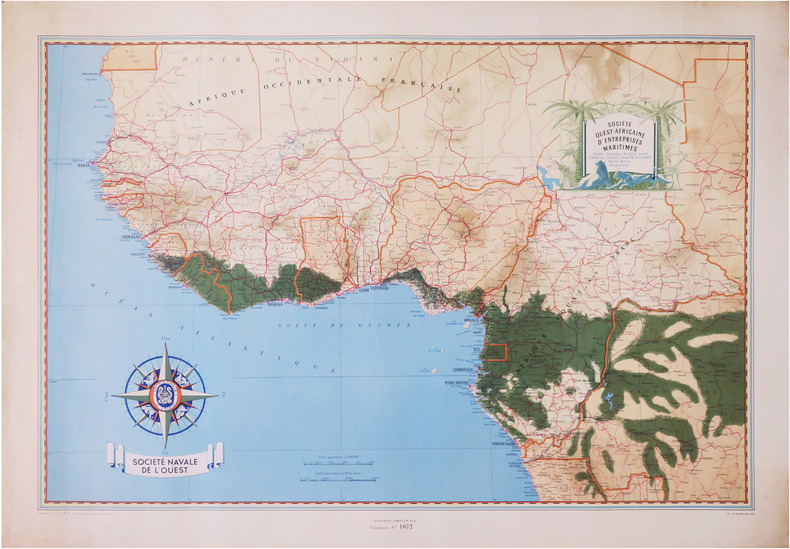
1950LBW-8669Paris, Société Navale de l'Ouest, [vers 1950]. 650 x 960 mm.
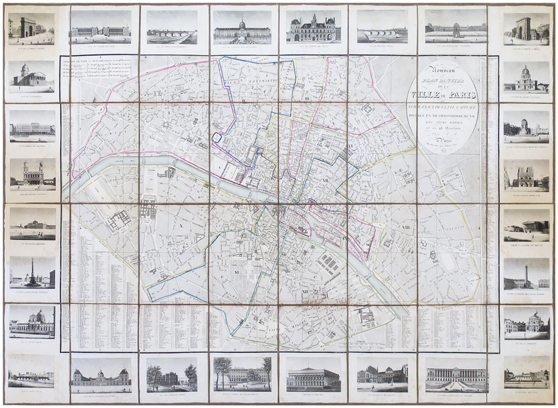
1831LBW-6853Paris, Rosselin, 1831. En 32 sections montées sur toile et pliées, formant un plan de 0,75 x 1,02 m.
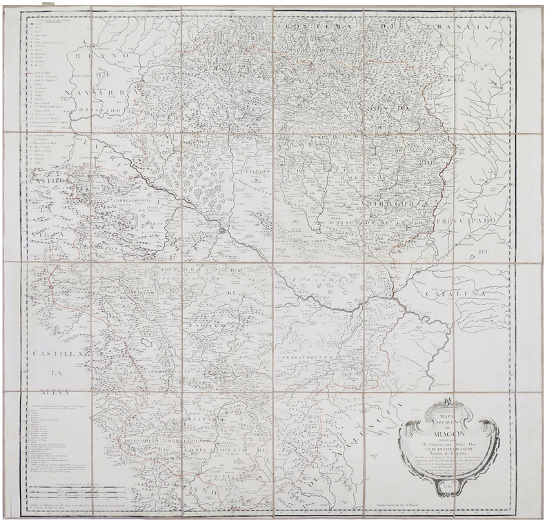
1765LBW-8661Madrid, 1765. En 24 sections montées sur toile et repliées, formant une carte de 805 x 832 mm ; étiquette de l'éditeur parisien Charles Picquet au dos, onglet de vélin numéroté en manuscrit.
1843LBW-653Toulouse 1843 230 x 455 mm.