MOITHEY (Maurille-Antoine).Livre Rare Book
11 979 résultats
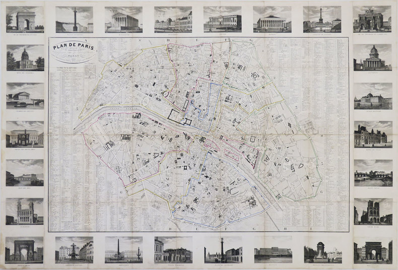
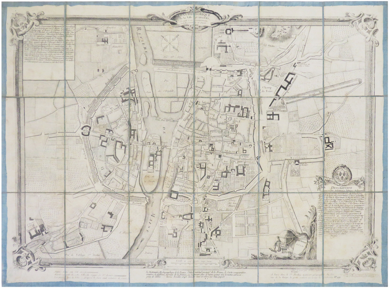
1792LBW-7835Paris, S.r Moithey, 1792. En 18 sections montées sur toile bleue et repliées, formant un plan de 428 x 572 mm.
1778LBW-8802Paris, S.r Moithey, 1778. 585 x 475 mm.
Grande carta topografica (cm. 93 x 104) della città di Vienna: quartieri e monumenti sono colorati con il rimando alla legenda.
1830LBW-3442Paris, Danlos, 1830. En 36 sections jointes et montées sur toile de 590 x 877 mm.
1693LBW-2921[1693]. 454 x 895 mm.
1740LBW-3454[circa 1740]. 410 x 538 mm.
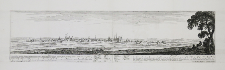
1740LBW03935Amsterdam Reinier & Josua Ottens 1740 En deux feuilles jointes de 488 x 959 mm.
Pan American World Airways System : world's most experienced airline ; copyright 1956 by Pan American World Airways, Inc. Cartography by John Philip. Art by Paul John Brown. "All rights reserved by Pan American World Airways, Inc." Litho in U.S.A. 2/64 Revised 2/64.Grande planisfero a proiezione di Mercatore pubblicato dalla Pan Am Airlaines nel 1956.Raffigura tutte le rotte della aereoflotta della Pan Am nel 1956, delineate in rosso sulla mappa.Litografia, in perfetto stato di conservazione. Striking large map of the World, published by Pan American Airlines, as a promotional item.Shows all the routes around the world to which Pan Am flew in 1956, including connecting lines and Pan Am's own lines.Cartography by John Philip. Art by Paul John Brown.Full title:Pan American World Airways System : world's most experienced airline ; copyright 1956 by Pan American World Airways, Inc. Cartography by John Philip. Art by Paul John Brown. "All rights reserved by Pan American World Airways, Inc." Litho in U.S.A. 2/64 Revised 2/64.Full color map 81 1/2x147 1/2. Includes legend. Shows routes of Pan American World Airways System in red lines. Connecting lines, and distances in miles and kilometers are shown. Relief shown pictorially. Includes time zones on lower panel.Litograph, very good condition.
1750LBW-4129[circa 1750]. 362 x 506 mm.
1790LBW-2792Augsbourg, Négoce commun de l'Académie Impériale d'Empire des Arts Libéraux, [circa 1790]. 307 x 400 mm.
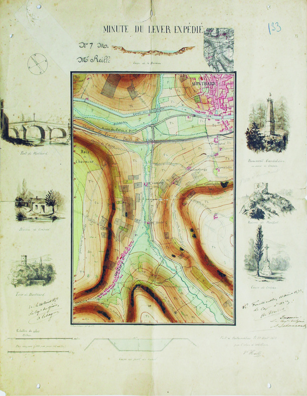
1871LBW-6565Fontainebleau, 1871. 47,8 x 38,3 cm.
La mappa di Ruscelli è molto interessante per la sua rappresentazione dei cinque continenti conosciuti, legati tra loro come una superficie continua. Questa mappa presenta una vista della superficie terrestre già piuttosto obsoleta ai tempi della sua pubblicazione. Già in precedenza, altri cartografi, partendo da Matrin Waldseemuller nel 1507, avevano messo in dubbio l’affermazione di Colombo secondo cui Asia e America fossero un unico continente. I viaggi di Magellano e altri esploratori, che permisero di conoscere definitivamente la reale estensione dell’oceano Pacifico, diedero ulteriore sostegno a tali dubbi, sebbene lasciassero aperta la possibilità di una connessione amer-asiatica a settentrione. Intorno alla metà del XVI secolo, tuttavia, anche questa ultima ipotesi venne completamente screditata, per essere rimpiazzata dall’idea di un ipotetico “stretto di Anian”. Altra interessante caratteristica di questa mappa è l’intreccio di “linee dei sestanti” radianti da 16 punti focali intorno alla mappa. Le linee dei sestanti erano strumenti di navigazione che aiutavano a mantenere la medesima posizione della bussola per raggiungere un qualsiasi punto di una linea da un altro punto della medesima. Queste sono semplicemente ornamentali e illustrative, in quanto la mappa è troppo piccola per essere funzionale. Carta tratta dalla "Geographia di Claudio Tolomeo", a cura del Ruscelli, pubblicata in Venezia in pù edizioni tra il 1561 ed il 1598. La carta è basata sulla "Geografia" di Giacomo Gastaldi, che probabilmente disegnò personalmente anche queste mappe, che vennero incise dai fratelli Sanuto. La peculiarità di queste mappe è che sono incise due per lastra e successivamente tagliate; questo il motivo per cui il segno del rame appare solo in tre lati della mappa. Il testo del Ruscelli e le sue carte sono considerate come il miglior atlante moderno fino alla prima versione del Thatrum di Ortelius, 1570. Solo la loro enorme diffusione ne impedisce una valutazione sostenuta nel mercato antiquario. L'opera infatti ebbe una prima stesura nel 1561, stampata da Vincenzo Valgrisi che ne curò anche la ristampa del 1562. Tre sono le edizioni firmate da Giordano Ziletti (due nel 1564 e una del 1574), mentre nel 1597 viene edita dai fratelli Calignani. Tutte queste edizioni contengono 64 tavole. Nel 1598 e 1599 vengono alla luce le due edizioni curate da Giuseppe Rosaccio e stampate dagli Eredi di Melchior Sessa. Queste ultime due edizioni comprendono 69 tavole; sono infatti aggiunte la carta del planisfero e dei continenti del Rosaccio. Nice example of Ruscelli’s Carta Marina, based upon Gastaldi’s map of 1548. Gastaldi's Carta Marina includes the earliest obtainable depictions of the California peninsula, is the earliest obtainable copperplate world map for collectors. Includes Gastaldi's belief in a continuous northern landmass, the isthmus reported by Verrazano in 1524, which closes the northern continents into as unbroken ring. The Asia-America connection was a standard concept, and one of which Gastaldi actively advocated. The joining of North America and Europe is unusual, resulting from two errors. In the east, Gastaldi depicts Greenland as an outgrowth of Scandinavia, based upon Waldseemuller. In the west, Gastaldi follows Verrazano’s model of North America. On the Atlantic coast by Gastaldi notes a green mountain and a large, unnamed cape pointing upwards. This cape, based upon Ramusio’s' map of 1534, first appeared in Ribero’s manuscript chart of 1529, as well as later works, such as Jode’s North America. The cape is believed to be Cape Cod, as both the Ribero and Ramusio maps reflect the reconnaissance along the New England coast by Estavao Gomes, who is believed to have coasted the region. The writing’s of Marco Polo are evident in Asia, with modern corrections.Map, taken from Ruscelli edition of Ptolemy's "Geographia", printed in Venice from 1561 to 1598. Ruscelli's Atlas is an expanded edition of Gastaldi's "Geografia" of 1548, which has been called the most comprehensive atlas produced between Martin Waldseemüller's Geographiae of 1513, and the Abraham Ortelius Theatrum of 1570. Ruscelli and Gastaldi's maps were beautifully engraved on copper, marking a turning point in the history of cartography. From that point forward, the majority of cartographic works used this medium. As it was a harder material than wood it gave the engraver the ability to render more detail. Gastaldi sought the most up-to-date geographical information available, making the modern maps in Ruscelli's Geographia among the best modern maps of the period. The maps are engraved by the Sanuto borthers.Only their enormous diffusion prevents a sustained evaluation in the antique market. The work in fact had a first issue in 1561, printed by Vincenzo Valgrisi who also edited the reprint of 1562. There are three editions signed by Giordano Ziletti (two in 1564 and one in 1574), while in 1597 it was edited by the Calignani brothers. All these editions contain 64 engraved maps. In 1598 and 1599 the two editions edited by Giuseppe Rosaccio and printed by the heirs of Melchior Sessa come to light. These last two editions include 69 plates; in fact the map of the planisphere and of the continents of Rosaccio are added. R. W. Shirley, "The Mapping of the world", 111
1750LBW-4194[circa 1750]. En 2 feuilles jointes de 435 x 600 mm, sur papier fin huilé.
1658LBW-7393Paris, chez l'auteur, [1658]. 390 x 555 mm.
1720LBW-464Amsterdam, J. Covens et C. Mortier, [circa 1720]. 400 x 501 mm.
Pianta della città edita da Mattheus Seutter, inclusa nel suo "Atlas" del 1730. La pianta deriva da quella di Giovan Battista Falda del 1676, della quale è una fedele ed accurata riduzione. In alto a sinistra compare il ritratto del papa Benedetto XIII (1724-30) e a destra il suo stemma. In basso a sinistra un elenco del XIV rioni ed a destra una breve descrizione della città dal titolo di Rom. Sebbene stampata intorno al 1725, probabilmente in occasione del Giubileo visto l'inserimento delle Sette Basiliche, raffigura la città intorno al 1676. L'opera infatti non contempla le innovazioni architettoniche alla città durante il pontificato di Innocenzo XII e nemmeno il Porto di Ripetta del 1704. Matthäus Seutter (1678 - 1757) fu uno dei più importanti e prolifici editori tedeschi di mappe del XVIII secolo. Attivo, come incisore sotto la tutela dell'importante J. B. Homann. All'inizio del 1700 Seutter lasciò Homann per tornare ad Augusta, dove lavorò per l'importante editore d'arte Jeremia Wolff (1663 - 1724), per il quale incise mappe e altre stampe. Intorno al 1717 fondò la propria casa editrice cartografica indipendente ad Augusta. La maggior parte delle mappe di Seutter sono pesantemente basate, se non addirittura copie, di lavori precedenti fatti dalle calcografie Homann e De L'Isle. Ciononostante, dal 1731/32 Seutter era uno degli editori più prolifici del suo tempo e fu onorato dall'imperatore tedesco Carlo VI che gli diede il titolo di Geografo Imperiale, dopo il quale la maggior parte delle mappe successive includeva la denominazione Avec Privilege. Seutter continuò a pubblicare fino alla sua morte, all'apice della sua carriera, nel 1757. Incisione in rame, tipica coloritura a mano editoriale, in ottimo stato di conservazione. Map of the city edited by Mattheus Seutter, included in his "Atlas" of 1730. The map derives from that of Giovan Battista Falda of 1676, of which it is a faithful and accurate reduction. On the upper left is the portrait of Pope Benedetto XIII (1724-30) and on the right his coat of arms. In the lower left a list of the XIV districts and on the right a brief description of the city entitled Rom. Although printed around 1725, probably on the occasion of the Jubilee given the inclusion of the Seven Basilicas, it depicts the city around 1676. The work in fact does not contemplate the architectural innovations to the city during the pontificate of Innocenzo XII, nor the Port of Ripetta of 1704. Matthäus Seutter (1678 - 1757) was one of the most important and prolific German map publishers of the 18th century. Seutter was born the son of a goldsmith but apprenticed as a brewer. Apparently uninspired by the beer business, Seutter abandoned his apprenticeship and moved to Nuremberg where he apprenticed as an engraver under the tutelage of the prominent J. B. Homann. Sometime in the early 1700s Seutter left Homann to return to Augsburg, where he worked for the prominent art publisher jeremiad Wolff (1663 - 1724), for whom he engraved maps and other prints. Most of Seutter's maps are heavily based upon, if not copies of, earlier work done by the Homann and De L'Isle firms. Nonetheless, by 1731/32 Seutter was one of the most prolific publishers of his time and was honored by the German Emperor Karl VI who gave him the title of Imperial Geographer, after which most subsequent maps included the Avec Privilege designation. Copper engraving, typical editorial hand coloring, in excellent condition. Huelsen (1915): n. 121; Marigliani, Le Piante di Roma nelle Collezioni private, pag. 235, 140.
1650LBW-4403[circa 1650]. En deux feuilles jointes de 200 x 795 mm.
1650LBW-4407[circa 1650]. 335 x 450 mm.
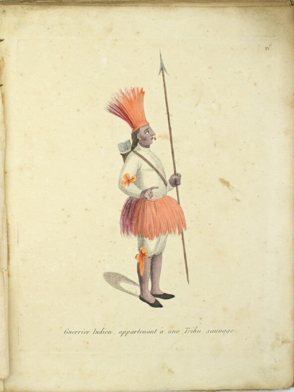
1809PHO-1737Paris, J.G. Dentu, 1809. 3 volumes TEXTE, 2 vol. in-8°,[2]-xii-385, [2]-427 pp. , brochage d’attente orange, étiquette avec titre au dos, quelques frottement. ATLAS, 1 vol. in-4° (290x225),12 planches sous serpente en couleurs et une carte de Lapie, reliure d’attente, titre sur le plat, dos manquant, coutures apparentes, la carte est volante et datée de 1829, elle provient d’un autre ouvrage
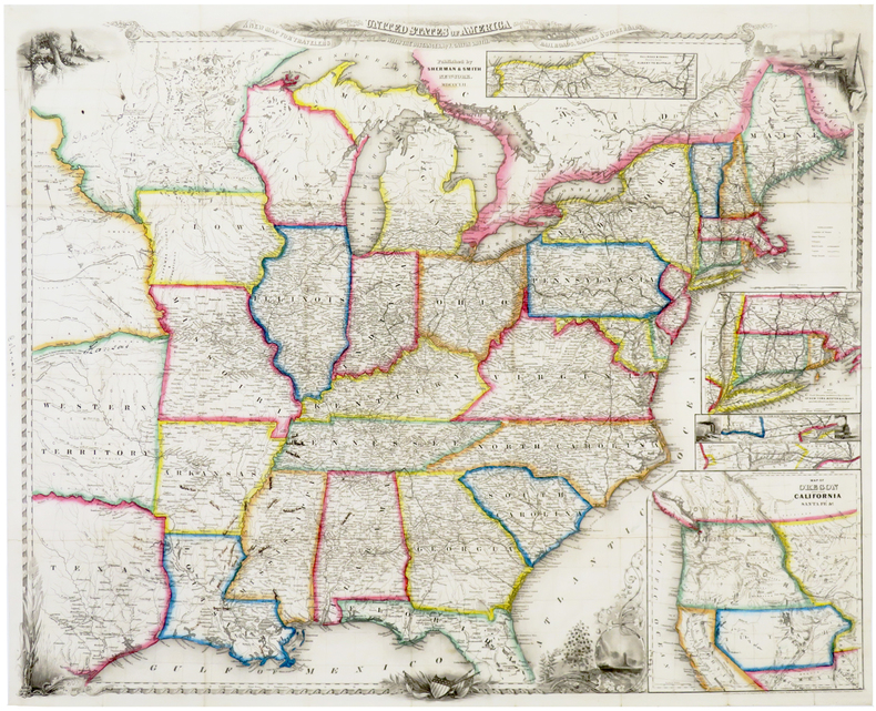
1852LBW-6388New York, Sherman & Smith, 1852. 550 x 685 mm, sur papier fin.
1838LBW-6527Paris, Binet, 1838. 520 x 645 mm.
1740LBW-4176[circa 1740]. 380 x 500 mm.
1810PHO-1157Paris: Arthus Bertrand, 1810. — Atlas in-4, (295x200) (2 ff.), 18 cartes et planches , la plupart dépliantes ,relié demi veau ,dos lisse avec fers de navire , manque au dos .