VAILLANT (Auguste-Nicolas).Livre Rare Book
11 981 résultats
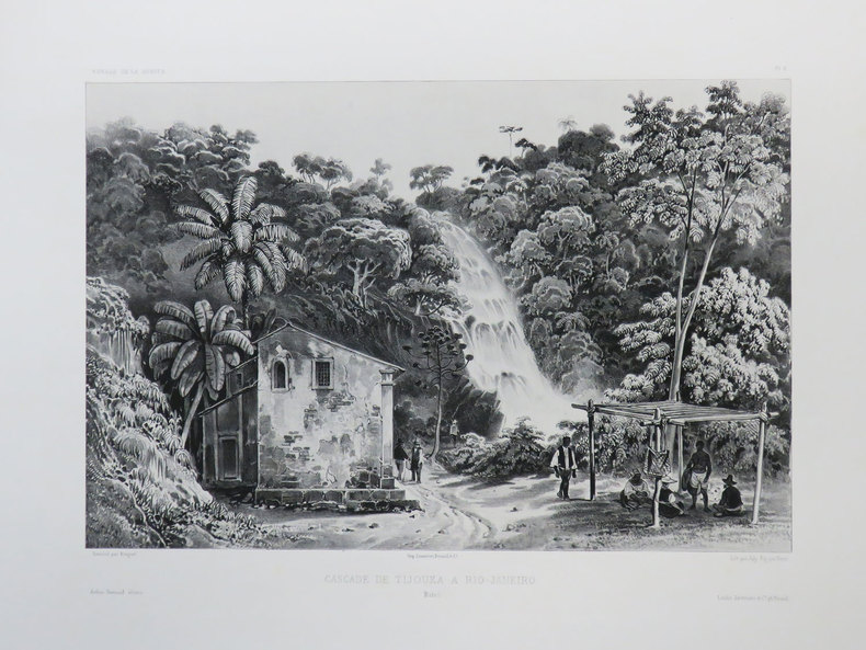
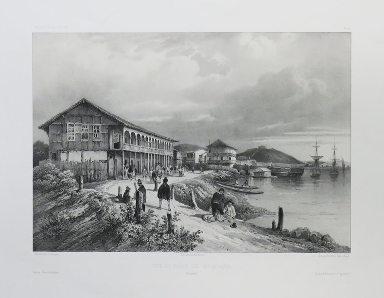
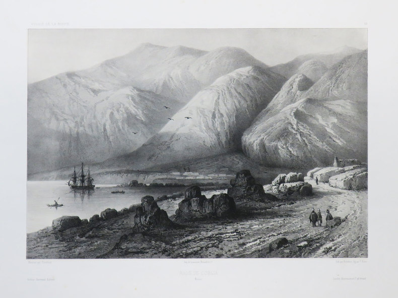
1840LBW-3674[1840]. 233 x 306 mm.
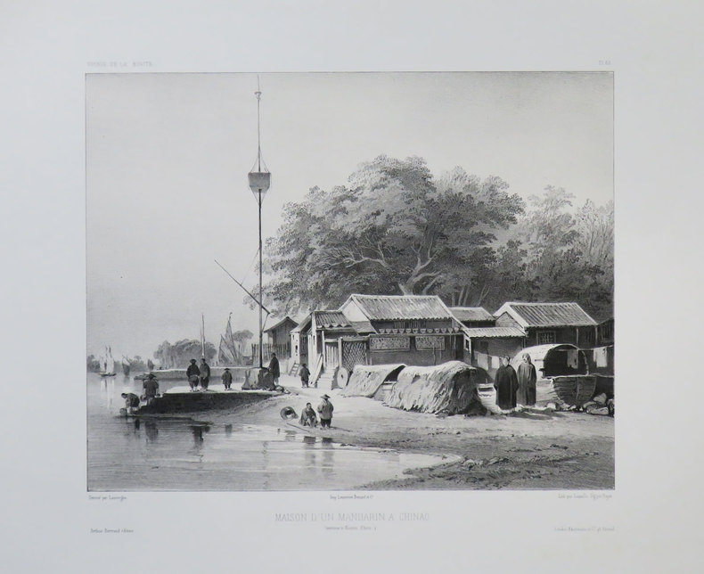
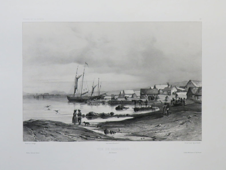
1840LBW-3437[1840]. 227 x 298 mm.
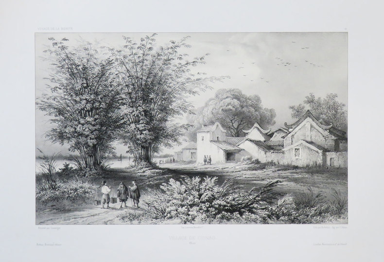
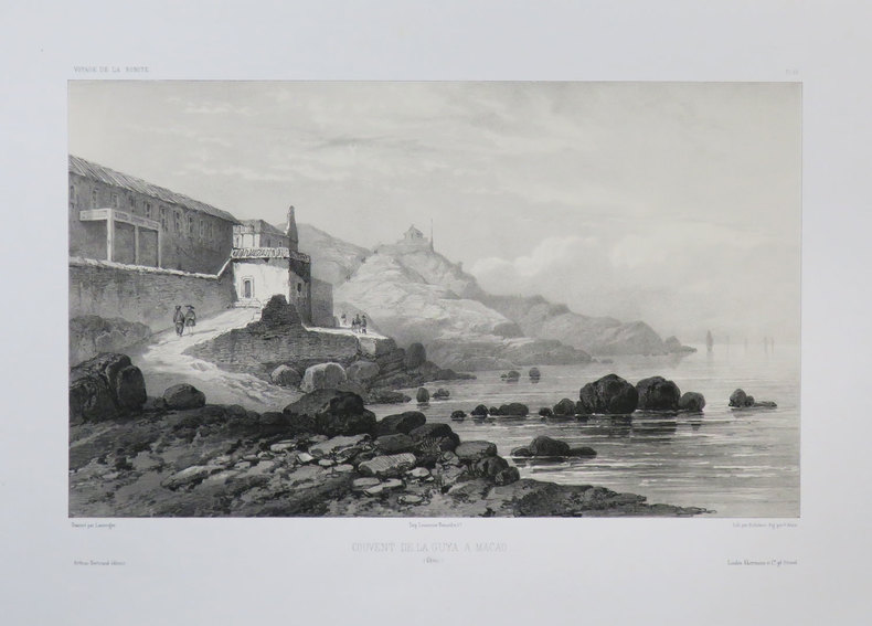
1840LBW-3679[1840]. 235 x 263 mm.
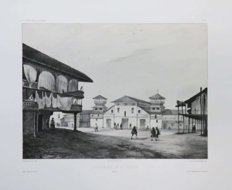
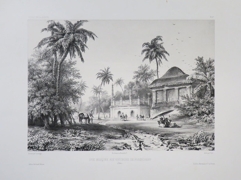
1840LBW-3680[1840]. 219 x 314 mm.
1840LBW-3677[1840]. 238 x 289 mm.
1840LBW-3676[1840]. 222 x 294 mm.
1840LBW-3642[1840]. 220 x 291 mm.
1840LBW-3678[1840]. 219 x 322 mm.
1840LBW-3683[1840]. 230 x 287 mm.
6492FIRST / DOCUMENTS Broché , couverture éditeur représentant un code barres sur un crane , ensemble un peu défraichi mais en bon état , 311 pages .
No marks or inscriptions. A lovely clean crisp tight copy with bright boards and no bumping to corners. Dust jacket not price clipped or torn with a little light creasing to edges. 160pp. A very personal guided tour of the world's largest country by it's most famous 'grandson'. This is an amusing and attractive book which also opens the door to a Russia only a few have been able to see and appreciate. Over 100 original photos, many taken by the author himself.
196525042USSR 1965. The 7 year plan economic map with good lithographic color key gives interpretation and on back various charts show growth over time. The district map in black and white with numbers keyed to the list of districts on the back; text entirely in Cyrillic. Approx. 9 3/4" x 13" size; a little edge-wear one short 1/4" closed edge-tear; in very good condition. First Edition. Not Bound. Very Good. paperback books
1854182A61A.O.P. Nicholson Printer Washington D.C.: . 1854 2 pp. Title-page with list of contents on the verso 45 maps and plans of various sizes some quite large most folding. Some damp stain and foxing but nothing too substantial except to the endpapers. Original full black cloth binding stamped in blind and lettered in gold gilt. Lightly worn. 4to. 300mm. These maps and plans illustrate the Reports of: the Commissioner of the General Land Office 8: Commissioner of Public Buildings 1-4; National Hospital for the Insane 1; Colonel of Topographical Engineers 31; and the Report of the Chief of Ordnance and Hydrography 1 Officers Quarters at Annapolis. Significant regions covered include parts of: Kansas; Nebraska; Arkansas; Florida; Michigan; Iowa; California; Minnesota; Wisconsin; Ohio; District of Columbia; New York; as well as a Topographical Map of a portion of the Isthmus of Darien in site of proposed inter-oceanic navigation canal. These reports were apparently an adjunct to the MAPS AND CHARTS OF THE UNITED STATES COAST SURVEY. A wonderful addition to any collection of U.S. Maps. . PRICE JUST REDUCED! W155 CTR Language: eng. Full Cloth. Hardcover. Very Good. A.O.P. Nicholson, Printer, Washington [D.C.]: . hardcover
Barcelona, 2006. Folio; 262 pp. Con 55 reproducciones de planos y mapas en color. Encuadernación original en tela. Sobrecubiertas.
1774gnt774London: David Henry; Elizabeth Newbery. G: in good condition without dust jacket. 20th century binding with new eps. Inner hinge cracking. Sporadic foxing browning marking and off-setting from illustrations. Occasional pencil annotations. Loss to lower edge of prelims slightly impinging on content. 1774. First Edition. Buff hardback cloth cover. 220mm x 140mm 9" x 6". iv 628pp xvi plates. 20 b/w plates 3 fold-out plans 18 fold-out John Gibson and Thomas Bowen road maps. . David Henry; Elizabeth Newbery hardcover
176 pages. Endpapers decorated with colour maps. Designed to tell the story of what British Columbia was and is. Tells stories of romance and adventure; of exploration and settlement; of the search for riches in furs, in gold, in fisheries, farming and forestry. Tells the story of development; of the building of a character and a homogeneous province; of a God-fearing pioneering people dedicated to progress, strengthened by their contest with a great land at first reluctant to yield its full resources. Contents: agriculture; historical background; committees; education; energy and power; fisheries; forestry and logging; government; mining; programme; recreation. Illustrated with a multitude of interesting old black and white photographs as well as some modern colour photos. Attractive colour-illustrated boards. Book
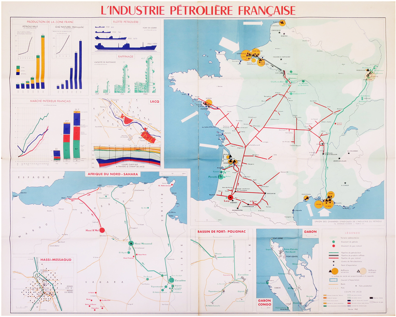
1962LBW-7972Paris, Union des Chambres Syndicales de l'Industrie du Pétrole, Février 1962. 0,97 x 1,14 m.
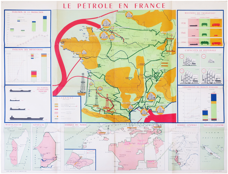
1955LBW-7973Paris, Union des Chambres Syndicales de l'Industrie du Pétrole, 1955. 0,97 x 1,22 m.
1192 pages plus 16 pages of maps. Includes over 500 photos, maps and drawings. No marks noted. A little above average wear to green cloth covered boards. Binding intact. Light soiling. Prior owner's small address label atop preface. Solid working copy of this excellent reference. Book
35 pages plus appendix and numerous maps, some with colour. Occasional markings by former owner. Recent rapid growth has raised concerns about the quality of development, impacts on the environment and the adequacy of support services. This study assesses alternative development scenarios for the large tracts of remaining lands, and develops a more detailed conceptual plan for North Nanaimo than currently provided by the Official Community Plan. Book
Q-0316706078Little Brown & Company 1929-01-01. Hardcover. New. In shrink wrap. Looks like an interesting title! Little Brown & Company hardcover
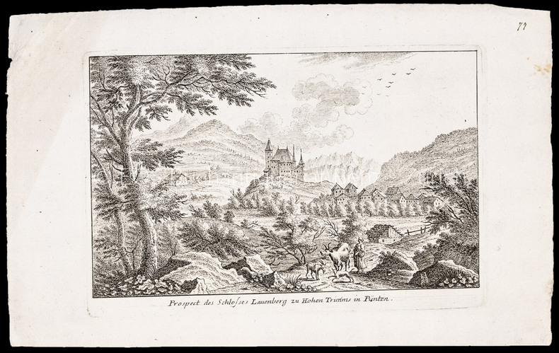
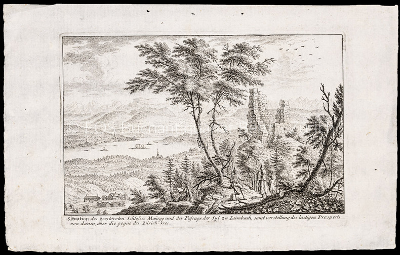
1007CGRadierung. Plattengrösse: 17 x 25 cm. Papiergrösse: 21,3 x 34,6 cm.
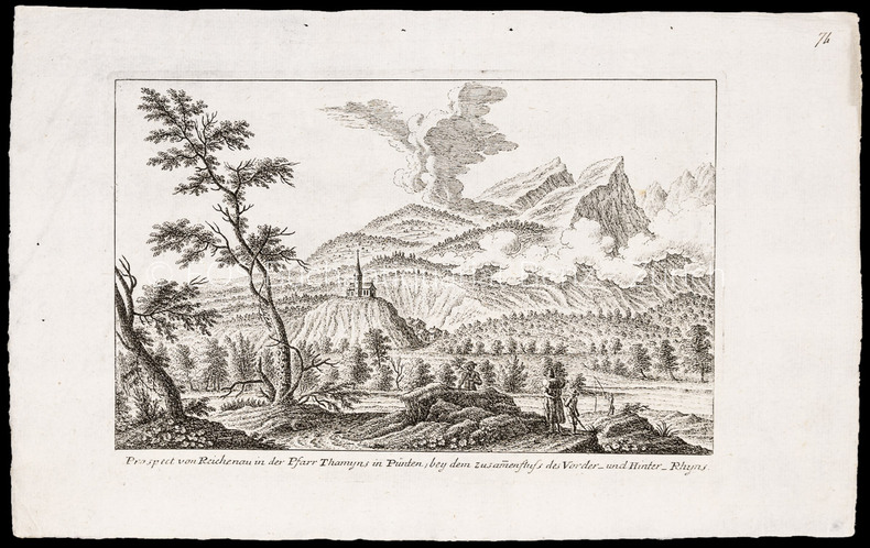
1008CGRadierung. Plattengrösse: 17 x 25 cm. Papiergrösse: 22 x 34,5 cm.
1006CGRadierung. Plattengrösse: 17,3 x 25 cm. Papiergrösse: 22 x 34,3 cm.
1007CGo.J. Radierung. Plattengrösse: 17 x 25 cm. Papiergrösse: 21,3 x 34,6 cm. + Wichtig: Für unsere Kunden in der EU erfolgt der Versand alle 14 Tage verzollt ab Deutschland / Postbank-Konto in Deutschland vorhanden +, A