Ulinger, Johann Caspar (1703?1768)Antiquariat.de

11 981 résultats
1008CGo.J. Radierung. Plattengrösse: 17 x 25 cm. Papiergrösse: 22 x 34,5 cm. + Wichtig: Für unsere Kunden in der EU erfolgt der Versand alle 14 Tage verzollt ab Deutschland / Postbank-Konto in Deutschland vorhanden +, A
1006CGo.J. Radierung. Plattengrösse: 17,3 x 25 cm. Papiergrösse: 22 x 34,3 cm. + Wichtig: Für unsere Kunden in der EU erfolgt der Versand alle 14 Tage verzollt ab Deutschland / Postbank-Konto in Deutschland vorhanden +, A
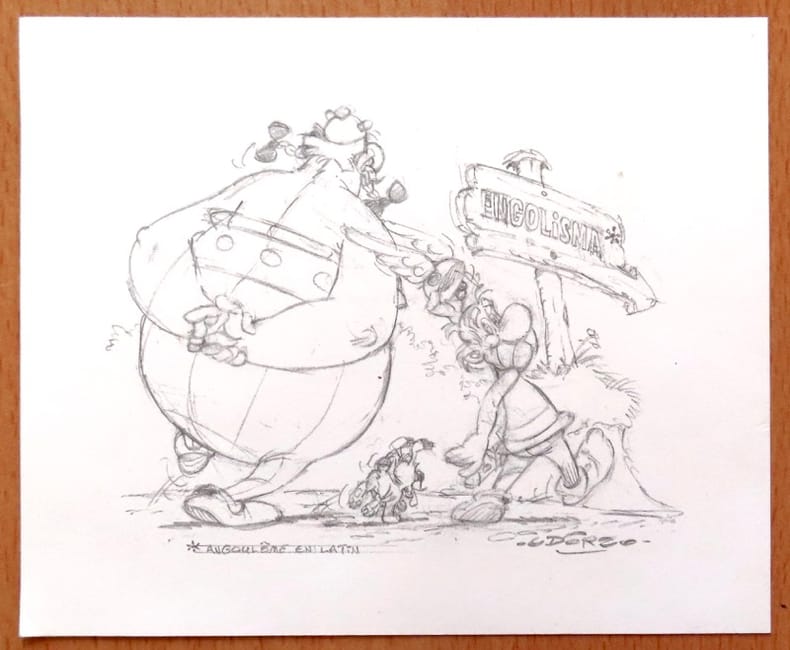
26562Centre National de la Bande Dessinée et de l'Image. Carte de voeux au format 17 x 14.
(2) pp. [Title-page with list of contents on the verso] + 45 maps and plans, of various sizes (some quite large), most folding. Some damp stain and foxing, but nothing too substantial, except to the endpapers. Original full black cloth binding, stamped in blind, and lettered in gold gilt. Lightly worn. 4to. 300mm. These maps and plans illustrate the Reports of: the Commissioner of the General Land Office (8): Commissioner of Public Buildings (1-4); National Hospital for the Insane (1); Colonel of Topographical Engineers (31); and the Report of the Chief of Ordnance and Hydrography (1) [Officers Quarters at Annapolis]. Significant regions covered include parts of: Kansas; Nebraska; Arkansas; Florida; Michigan; Iowa; California; Minnesota; Wisconsin; Ohio; District of Columbia; New York; as well as a Topographical Map of a portion of the Isthmus of Darien, in site of proposed inter-oceanic navigation (canal). These reports were apparently an adjunct to the MAPS AND CHARTS OF THE UNITED STATES COAST SURVEY. A wonderful addition to any collection of U.S. Maps. . **PRICE JUST REDUCED! W155 CTR
199915645La Poste suisse, 1999. Carnet complet de 10 timbres, valeur faciale 90 centimes, 2 sans valeur servant de titre, publiés par la Poste suisse. Tout beau tout neuf, même pas encore plié en carnet.
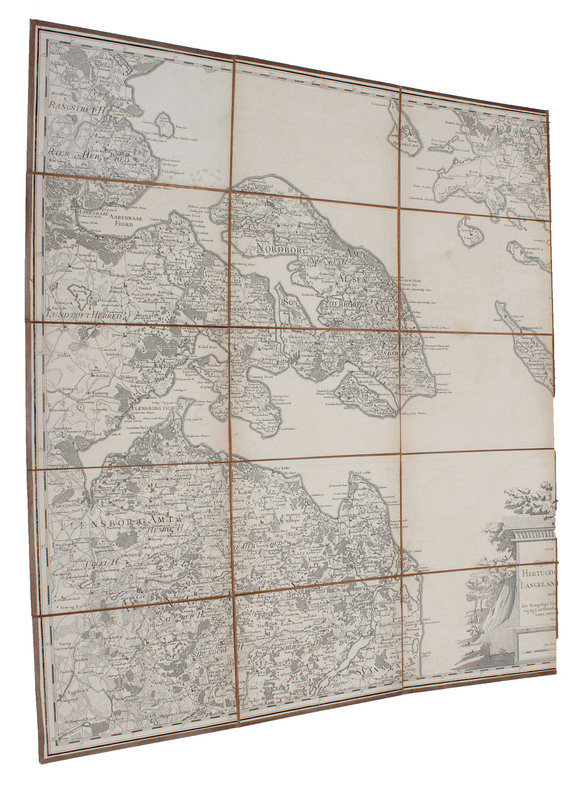
178351528(København), 1783. Kobberstukket kort over Øerne etc. 53x88 cm. Med stor kobberstukket kartouche. Tegnet for Videnskabernes Selskab af H. Skanke 1783. Kortet er her originalt opdelt i 21 felter, opklæbet på lærred og foldet som rejsekort. Indlagt i marmoreret foderal.
(København), 1783. Kobberstukket kort over Øerne etc. 53x88 cm. Med stor kobberstukket kartouche. Tegnet for Videnskabernes Selskab af H. Skanke 1783. Kortet er her originalt opdelt i 21 felter, opklæbet på lærred og foldet som rejsekort. Indlagt i marmoreret foderal.
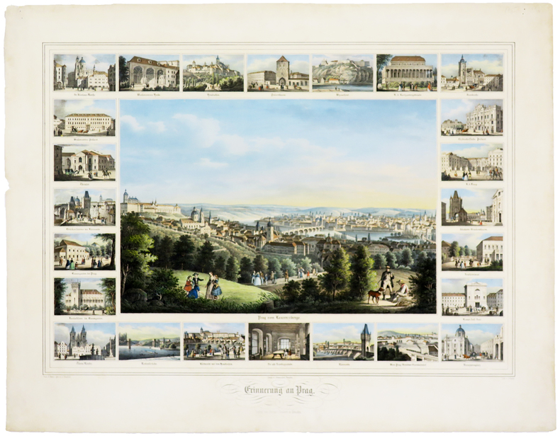
LBW0247dDresden, J. Braunsdorf, [circa 1850]. 420 x 535 mm.
1800163271800 18 sections montées sur toile et pliées formant une carte de 600 x 890 située à l'angle inférieur gauche d'une carte non déterminée. s.n. ca 1800
1975278005La farandole 1975 130 pages in8. 1975. Relié. 130 pages.
Large folding road map printed in green on paper measuring 16.0 x 19.0 ins (approx. 40.5 x 48.0 cms) folding in 12 panels to 8.5 x 3.5 ins (approx. 21.5 x 9.0 cms); original printed wrappers, folded as issued, yapped edges, covers very lightly dust-soiled else a very good, bright, clean copy.
200174064Cambridge, Cambridge University Press (Cambridge Mathematical Library), 2001. Foreword by Crispin St. J. A. Nash-Williams) XXI, 333 S. (24 cm) Broschierte Ausgabe
290 pages. "The dramatic story of the Canadian Pacific's Empresses on the trans-Pacific service, from record-breaking runs and multi-million-dollar silk cargoes to typhoons and war service." - from dust jacket. Contains over 400 illustrations, photographs, maps, timetables and scale drawings, together with detailed text, fleet lists, bibliography and index. Map endpapers. Colour frontis. Book clean, bright and unmarked with minimal wear. Light wear to dust jacket which bears closed two-inch tear at bottom of back panel and is now preserved in a glossy new archival-grade Brodart cover. Very nice copy of this handsome reference. Book
1766016077London: Printed for S. Crowder 1766. Book. Very Good. Hardcover. The Second Edition. Folio 21 x 32cm. The second edition with additions and improvements; pp. iv 45 iii publisher's adverts; engraved frontispiece map of the world five further engraved plates of maps and one engraved plate of globes ten engraved figures and diagrams within the text. Contemporary half textured calf binding with marbled paper boards expertly restored with a new spine in matching style re-corned. contents clean and tight a few small marks/reading wear; frontispiece plate with a couple of short edge-tears expertly and inconspicuously repaired a few corners re-tipped. A very good well-presented copy. Scarce. Printed for S. Crowder Hardcover
No marks or inscriptions to contents. No creasing to covers or to spine. A clean very tight copy with very slightly marked boards, dusty page edges and bumping to some corners. A small piece of a fair number of the lower edges of adjacent pages has been clipped away/pierced - with no effect on any of the maps or text. 548pp. A fascinating trip around Africa with great detail giving mile-by-mile information and all the place names for all of the major road routes.
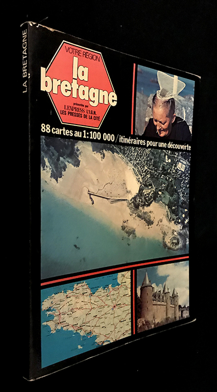
1977fm651L'express, Les Presses de la cité, l'I.G.N Votre région Broché 1977 In-4 (20.5 x 28 cm), broché avec rabats, couverture illustrée en couleurs, 126 pages, préface d'Olivier Philip, présentation d'Henri Queffélec, textes de Jeanne Turin, avec 88 cartes en couleurs au 1:100 000 / itinéraires pour une découverte et photographies en couleurs in et hors-texte ; coiffes et bords frottés, pliures et marques d'usage à la couverture, notes manuscrites à la dernière garde, assez bon état. Livraison a domicile (La Poste) ou en Mondial Relay sur simple demande.
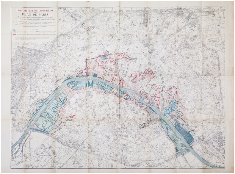
1910LBW-6846Paris, Librairie Chaix, 1910. 0,93 x 1,18 m.
Folding street plan in red and black on paper, measuring 25.0 x 20.0 ins (approx. 63.5 x 51.0 cms) folding in 16 panels to 9.0 x 5.5 ins (approx. 23.0 x 14.0 cms); original printed wrappers in orange and black, yapped edges, covers very lightly age-soiled else a very good, bright, clean copy. With numerous trade advertisements.
A clean, unmarked book with a tight binding. 126 pages. Slight edge wear and marks to dust jacket. "Revealed here are design strategies for enhancing the dimensionality and density of portrayals of information -- techniques exemplified in maps, the manuscripts of Galileo, timetables, notation describing dance movements, aerial photographs, the Vietnam Veterans Memorial, electrocardiograms, drawings of Caler and Klee, computer visualizations, and a textbook of Euclid's geometry." Later printing.
1954UTUCPOL00JMJBobbs-Merrill 1954. Very Good. Tucker Glenn. Poltroons and Patriots: A Popular Account of the War of 1812 Two volumes. Tucker Maps W.T. Indianapolis: Bobbs-Merrill 1954. 812pp. Indexed. Illustrated. 8vo. Cloth with gilt lettering. Book condition: Very good with lightly bumped and yellowed spines. Slipcase is very good with light rubbing and yellowing. Includes monthly bulletin of American History Publication Society. Bobbs-Merrill hardcover books
19639010503Indianapolis: Bobbs-Merrill 1963. 1st. Hardcover. Book fine Dust jacket fine. The dust jacket is price clipped and has minor chips and closed tears to the extremities. <br/><br/> Bobbs-Merrill hardcover books
In Hebrew. 180X250 mm. 43+4+12 + 55 Plates. Gilt Hard cover with dust jacket. Dust Jacket slightly torn on the upper edge. Cover and spine slightly worn. Yellow pages. Name of previous owner written on the first white page and on title page. Else in good condition. Includes Maps, Photos and Illustrations.
8170530660.Gpaperback. Good. Access codes and supplements are not guaranteed with used items. May be an ex-library book. paperback
8170530164.Gpaperback. Good. Access codes and supplements are not guaranteed with used items. May be an ex-library book. paperback
8170530857.Gpaperback. Good. Access codes and supplements are not guaranteed with used items. May be an ex-library book. paperback