12 889 résultats
Very Good Turkish, Ottoman (1500-1928) Original engraved map on the silk handkerchief made in Yildiz Palace for the 'Iane Sergisi' [i.e. Exhibition of the Social Assistance] in the period of Sultan Abdülhamid II. In its decorative frame. Frame size: 53,5x53,5 cm; map size: 38x38 cm. In Ottoman script. Scale: 1/600.000. Several minimal splits, minor foxing, and slight stains on cloth. Otherwise in good condition. A rare and decorative 1897 silk handkerchief map of the Greco-Turkish War in 1897, which was the only war in which the Ottoman army was victorious during the reign of Abdulhamid 2, is a fine example of Ottoman / Turkish cartographic textiles made in Ottoman court (Yildiz Palace textile workshops). This beautiful map depicts an attractive war scene from the 1313 Greek War on the upper half, and it's engraved a map of Balkan & Greek lands on its lower half. War painting has 'Melona' signature in Ottoman script. The map shows Thessaloniki [i.e. Salonica] Bay on the west; Yanya [i.e. Ioanna] Vilayat on the east; lands of Greece, Galos Bay, Uzi Strait on the south and Dimetoka and Avalonia areas in the Serefiye, Ergiri sanjaks on the north in its period. Written on the map, "Baht-i himâye-yi feyzvâne-i cenâb-i hilâfetpenâhide evlad-i süheda ve mecrûhin-i asakir-i sâhâne", [i.e. It was printed for the "Iane Sergisi" (i.e. The Social Help Exhibition) in the high memory of our soldiers who were martyred and veterans in the Greek War under the patronage of the Sultan.]. The Greco-Turkish War of 1897, also called the Thirty Days' War and known in Greece as the Black '97 (Mauro '97), or the Unfortunate War (Atychis polemos), was a war fought between the Kingdom of Greece and the Ottoman Empire. Its immediate cause was the question over the status of the Ottoman province of Crete, whose Greek majority long-desired union with Greece. Despite the Ottoman victory on the field, an autonomous Cretan State under Ottoman suzerainty was established the following year (as a result of the intervention of the Great Powers after the war), with Prince George of Greece and Denmark as its first High Commissioner. This was the first war effort in which the military and political personnel of Greece were put to test since the Greek War of Independence in 1821. For the Ottoman Empire, this was also the first war effort in which the reorganized military personnel were put to test. The Ottoman army was under the guidance of a German military mission led by Colmar Freiherr von der Goltz, who had reorganized it after the defeat in the Russo-Turkish War (1877-1878). The conflict proved Greece was wholly unprepared for war. Plans, fortifications and weapons were non-existent, the mass of the officer corps was unsuited to its tasks, and training was inadequate. As a result, the numerically superior, better organized, equipped and led Ottoman forces pushed the Greek forces south out of Thessaly. Almost all of the aids made to the families or disabled people of those who were martyred in the 1897 Ottoman-Greek War (such as printing this map) were made within the framework of the donations of "Evlâd-i Süheda and Malûlîn-i Guzât-i Asâkir-i Sahane". People and citizens of all classes and beliefs, including members of the Ottoman court, ministers, bureaucrats, civil servants, merchants and tradesmen, participated in this aid campaign at the end of the 19th, beginning of the 20th century. Not in OCLC.
189250084Bern, Eidgenössisches topographisches Bureau, 1892. Farb. Karte (56 x 78 cm) mit Titelschild, in 18 Segmenten auf Lwd. aufgezogen.
178065196Nürnberg, Christoph Weigel, 1780. 8°. Mit 37 doppelblattgr. kolor. Kupferkarten. 8 Bll., 186 S., 98 Bll., HLdr. d. Zt. a. 5 Bünden m. Rückenverg., goldgepr. Rückenschild u. Rotschnitt.
Very Good Turkish, Ottoman (1500-1928) Original color map. 50x60 cm. In Ottoman script. Scale: 1/200000. Ottoman map of Eastern Anatolia. Bargiri, Hoy, Baskal'a, Malazgird. It shows Lake Erçek located on the east of Lake Van which is an endorheic salt lake in Van Province in eastern Turkey, about 30 kilometres; on north side, Bargiri place where the oldest district of Van city; on east, Turkish and Azerbaijani and Iranian borders and Hoy city of the West Azerbaijan; and on west, map shows Malazgird [Malazgirt]. This is one the serie of the Bonn projection maps which are the first map series in modern techniques in Turkey and the Ottoman Empire. In order to produce these maps covering Turkish territory, Reconnaissance Branch was incorporated into The Mapping Commission. The maps were produced in the datum based on the latitude and longitude of Ayasofya Mosque in equal area Bonn Projection. The field works for the 123 sheets covering the country were conducted by 76 staff. The production was completed in 18 years starting from east west. Field works continued without stopping except in years 1914 and 1920. This map series called also reconnaissance maps contributed a lot to producing 1:25.000 scale maps.
1332772846.Gpaperback. Good. Access codes and supplements are not guaranteed with used items. May be an ex-library book. paperback
CARTE30B121875, Maison Bouasse-Lebel, Paris. 60x80cm. Grande et belle carte entoilée du département des Basses-Pyrénées dressée par A. H. Dufour et accompagnée d'une notice statistique d'Adrien Guibert. Carte conservée dans son étui cartonné. Coloration originale d'éditeur. Très bel exemplaire. Infime brunissement des plis.
30985Turnhout, Brepols, 2011 Hardback, 470 p., 3 b/w ill. 16 colour ill., 210 x 270 mm. ISBN 9782503523781.
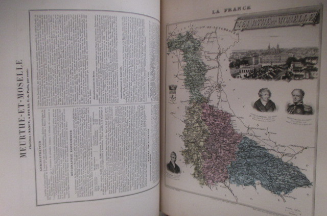
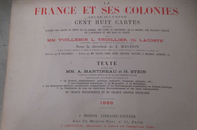
1888GEO402M1888 / non paginé environ 300 pages. Relié au format : 37 x 28 cm. Editions J. Migeon.
1888GEO403M1888 / non paginé environ 300 pages. Relié au format : 37 x 28 cm. Editions J. Migeon.
31655A Paris, Langlois, 1841. Format oblong 22x13 cm, demi-reliure basane vert. Exemplaire usage, reliure frottee, page de titre tachee (voir photo), la carte de France (pour servir de tableau d'assemblage) est en tres grande partie absente, l'ensemble des cartes de departements est tres frais.Etat acceptable.
189475182Bielefeld/Leipzig Velhagen & Klasing, 1894. Original-Halblederband mit Lederecken, Gr.-8°, 687 Seiten.
1963R260121166NELSON. 1963. In-Folio. Cartonnage d'éditeurs. Etat d'usage, Couv. légèrement passée, Coiffe en pied abîmée, Intérieur frais. 221 pages. Jaquette illustrée en couleurs, abîmée (déchirures). Nombreuses photos en noiret blanc et cartes illustrées en couleurs hors texte. Texte en anglais.. Avec Jaquette. . . Classification Dewey : 912-Atlas, cartes et plans
In oblungo ; (26), (92) (con cartine ripiegate a doppia pagina), (2), 274, (42) pp. Bella legatura editoriale coeva in piena tela marrone con illustrazioni ai piatti e titolo al dorso (piccolo difetto al margine superiore del dorso e qualche scoloritura alle impressioni a secco ai piatti). Al piatto anteriore titolo, simbolo della svizzera ed immagine di un'automobile che si inerpica verso una montagna innevata. Al piatto posteriore bellissima pubblicità di un magnete della ditta Scintilla. All'interno moltissime immagini pubblicitarie. L'opera contiene centinaia di cartinine, la maggior parte ripiegate rappresentanti in modo minuzioso la Svizzera. Varie sono piante delle città svizzere. 274 pagine di testo completamente dedicate ad itinerari turistici nel territorio svizzero con descrizione delle principali attrative dei luoghi incontrati, ristoranti, hotel, distanze ecc. In fondo al volume una brossura contenitore pubblicitaria della Dunlop con all'interno alcune cartoline pubblicitarie di alcune località svizzere e una breve guida di 32 pp. con il regolamento per la circolazione delle automobili in Svizzera. All'interno in ottimo stato di conservazione con conservata anche la pubblicità segnalibro della Durol Olii per motore. NON COMUNE in queste condizioni di conservazione.
1868R320116951P.A. Norstedt & fils. 1868. In-4. Relié. Etat d'usage, Coins frottés, Dos satisfaisant, Intérieur acceptable. 14 cartes en couleurs - cartes collationnées - 2 photos disponibles.. . . . Classification Dewey : 912-Atlas, cartes et plans
R320124793Gustave Barba. non daté. In-4. Relié. Etat passable, Plats abîmés, Dos abîmé, Quelques rousseurs. 89 planches de cartes/plans en couleurs - quelques rousseurs à l'intérieur de l'ouvrage sans conséquence sur la lecture - coins, tranches frottés - plats défraîchie - manque sur le 1er plat - dos absent - plats partiellement désolidarisés.. . . . Classification Dewey : 912-Atlas, cartes et plans
4 lotto di 4 carte in formati diversi, circa 24x34 cm., a colori, in inglese, ben conservate, molto interessanti.
1 18x12,5 cm. fomato chiuso, 54x75 formato aperto, 18 riquadri su carta a colori su tre file applicati su tela, con scacco di Luzern, St. Gallen, Zurich, in tedesco, francese e italiano, buone condizioni.
1 35x45 cm., formato aperto, chiuso cm., 17,5x11, 8 riquadri su 2 file, su carta a colori, applicate su tela, scala 1:25.000, in francese, buone condizioni.
1 57.5x40,5 cm., formato aperto, 19x10 cm., formato chiuso, 12 riquadri su tre file, su carta a colori applicati su tela, scala 1:200.000, in tedesco, buone condizioni.
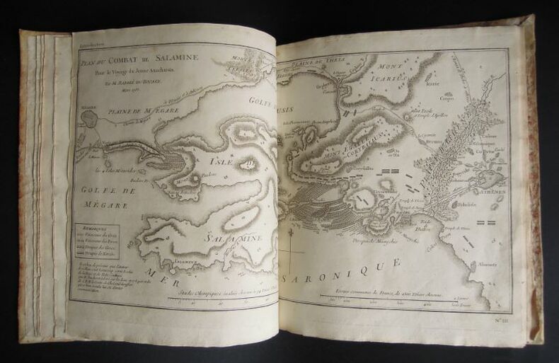
17931271793 s. l. [Venise ?], s. n. [Zatta ?], 1793, 1 vol. in-4° (26,3 x 21,7 cm) se composant de : 1 db-f. de gardes blanches, 1 f. de titre, 1 f. de table des illustrations avec leur répartition dans les neufs premiers tomes de texte de l'édition correspondante. 31 illustrations y sont annoncées, toutes reliées à l'exception de la première qui est une grande carte dépliante, simplement repliée et glissée entre deux autres f., 1 db-f. de gardes blanches. Roman historique sur la vie dans la Grèce antique et l'Orient méditerranéen. Atlas vraisemblablement issu de l'édition de 1791-1793 menée par Zatta à Venise, bien que celle-ci, en 12 volumes, soit au format petit in-8°: comme dans d'autres éditions de cet ouvrage, l'atlas final a un format plus grand. Les éditions postérieures (début XIXème) sont majoritairement au format in-12. Les illustrations gravées sont réparties au long du texte. Or ici, comme dans l'édition originale (Paris, 1788), elles sont regroupées en un atlas venant clôturer les tomes de texte. Au regard de l'année de publication, on en conclut qu'il s'agit de l'édition originale italienne, le texte ayant été traduit du français. Notons que seuls les feuillets de titre et de sommaire sont traduits, les cartes et illustrations, quant à elles sont légendées en français. Cet altas comporte 31 gravures au burin, pleine page, de différents formats, intitulées comme suit : I - La Grèce et ses isles, II - Plan du passage des Thermo-Pyles, III - Plan du combat de Salamine, IV - Essai sur la Bataille de Platée , 1 - Carte du Palus Méoti?e et du Pont Euxin, 2 - Plan du Bosphore et de Thrace, 3 - L'Helles-Pont, 4 - Plan des Environs d'Athènes, 5 - L'Attique, la Mégarde et partie de l'Isle d'Eubée, 6 - Plan de l'Académie et de ses Environs, 7 - Plan d'une Palestre Grecque, 8 - Plan d'Athènes, 9 - Plan et Elévations des Propylées, 10 - Plan du Temple de Thésée, Elévation de la Façade du Parthénon, Vue du Parthénon, 11 - La Phocide et la Doride, 12 - Essai sur les Environs de Delphes, 13 - Plan d'une maison grecque, 14 - La Béotie, 15 - La Thessalie, 16 - La Corinthie, la Sicy?nie, la Philiasie et l'Achaie, 17 - L'Elide et la Triphylie, 18 - Essai sur la topographie d'Olympie, 19 - La Messénie, 20 - La Laconie et l'Isle de Cythère, 21 - Essai sur la topographie de Sparte et de ses environs, 22 - L'Arcadie, 23 - L'Argolide L'Epidaurie. La Trézénie L'Hermionide, l'Isle d'Egine et la Cynurie, 24 - Platon sur le cap Sunium au milieu de ses disciples, 25 - Ancien Théâtre grec, 26 - Les Cyclades, 27 et dernier - Médailles tirées du Cabinet du Roi. La plupart sont des cartes, les autres, des plans d'édifices ou encore des perspectives aériennes, ainsi qu'une planche de médailles. Jean-Jacques Barthélemy (1716-1795) : auteur, historien, abbé, poète, philosophe, hélléniste, numismate. Jean-Denis Barbié du Bocage (1760-1825) : cartographe. Antonio Zatta (1722-1804) : libraire. Tardieu : graveur.
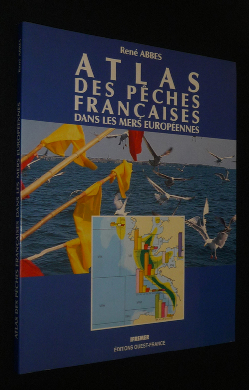
1991dc1116Ouest-France, Ifremer Dos carré collé 1991 In-4 (24,2 x 30 cm), dos carré collé, 94 pages, iconographie en couleurs ; Livraison a domicile (La Poste) ou en Mondial Relay sur simple demande.
126381sd Editions non-renseignées - Sans date (Milieu XIXe, vers 1850) - In-4, reliure demi-chagrin, plats percalines, dos à 5 nerfs titré en doré - Ouvrage comprenant 31 planches lithographiées en N&B avec leur page d'explications
78991951 .19 CARTES EN COULEUR . 59 PAGES .
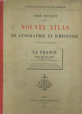
RO20081746Poussielgue.. 1895.. In-4. Cartonnage d'éditeurs. Bon état, Couv. convenable, Dos satisfaisant, Intérieur acceptable. 39 pages. Nombreuses cartes en couleurs, dans le texte et hors texte. Ecriture au crayon à papier sur la 1ère et 2nde de couverture.. . . . Classification Dewey : 912-Atlas, cartes et plans
1951R240016619AUX BUREAUX DE L'OEUVRE DE LA PROPAGATION DE LA FOI. 1951. In-4. Cartonné. Bon état, Couv. légèrement passée, Coiffe en pied abîmée, Intérieur frais. 58 pages. Nombreuses cartes en couleur, hors texte.. . . . Classification Dewey : 912-Atlas, cartes et plans