198 résultats
1703M5179Paris 1703. Excellent. Size : 230x310 mm 9x12.25 Inches Coloring: Original Outline Coloring Category: ; Maps Asia Middle East Holy Land & Palestine unknown
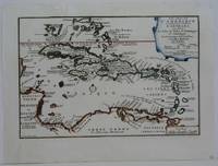
1702M5228Paris 1702. Very Good small tear in the upper left margin professionally repaired not affecting the image. Size : 225x335 mm 8.875x13.125 Inches Coloring: Hand Colored in Outline Category: ; Maps West Indies Whole unknown
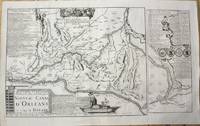
1705M10253Paris 1705. Very Good. Notes: Map showing the Canal de Briare and the Canal D'Orleans with indexes and descriptive notes on both canals. Size : 385x651 mm 15.16x25.63 Inches Coloring: Black & White Category: Maps Europe France; unknown
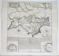
1705M5137Paris 1705. Excellent. Size : 235x350 mm 9.25x13.75 Inches Coloring: Black & White Category: Maps City Maps; Maps Europe Germany unknown
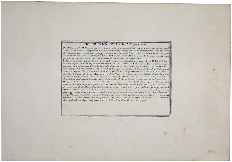
1705LBW-6120Paris, chez l'auteur, 1705. 223 x 332 mm + feuillet de texte descriptif.
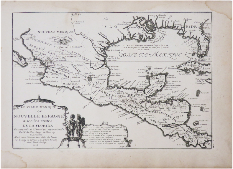
1705LBW-7877Paris, chez l'auteur, 1705. 226 x 326 mm.
1702LBW-1334[Amsterdam, Pierre Mortier, 1702]. 210 x 277 mm.
1702LBW-1306Amsterdam Pierre Mortier 1702 217 x 312 mm.
1702LBW-1330Amsterdam Pierre Mortier 1702 216 x 289 mm.
1702LBW-1303Amsterdam Pierre Mortier 1702 194 x 274 mm.
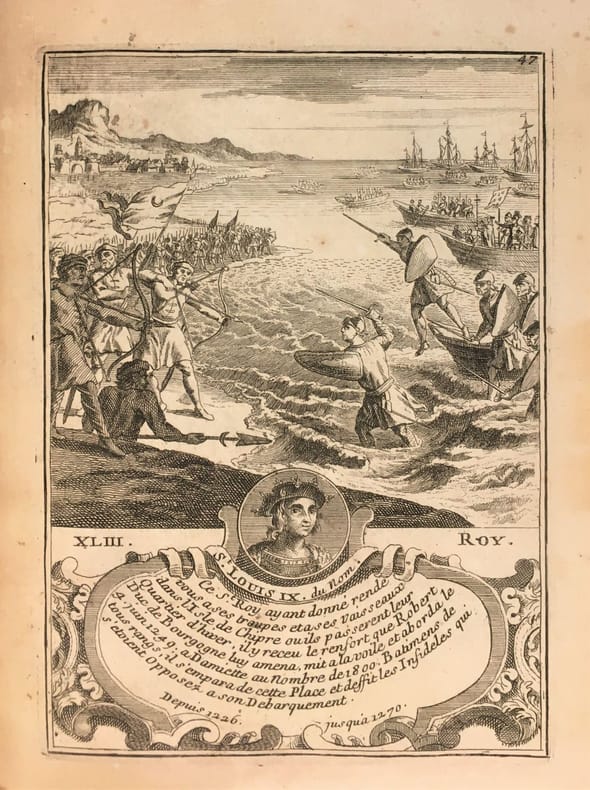
1760381611760 In-12, broché, couverture bleutée de papier ancien de livraison, 40 p. S.l.n.d. [1760].
171458931714. : 7 In four places along the edges of the map some discoloration from tape is visible. This does not affect the map itself. Dimensions of the map excluding the white borders: Height: 22 cm Width: 325 cm Height cm: 25 CM Width cm: 375 CM unknown
1703M5176Paris 1703. Excellent. Size : 230x335 mm 9x13.125 Inches Coloring: Original Outline Coloring Category: Maps Asia Near East Turkey; Maps Asia Middle East Iran Iraq; Maps Asia Middle East Caucasus.; unknown
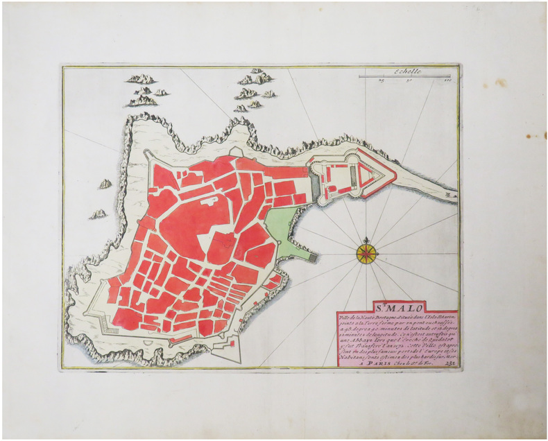
1705M5239Paris 1705. excellent. Notes: With a decorative water mark Size : 255x355 mm 10x14 Inches Coloring: Hand Colored Category: Maps City Maps; Maps Europe Portugal unknown
1715M5226Paris 1715. Excellent. Size : 255x365 mm 10x14.375 Inches Coloring: Hand Colored Category: Maps City Maps; Maps Europe Portugal unknown
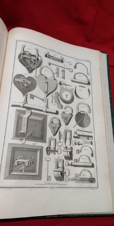
17671186551767 in-folio [A Paris, chez SAILLANT & NYON, DESAINT,] imprimerie L. F. DELATOUR, 1767, 1 volume in-folio de 285x430 mm environ, (1) f., page de titre, IIJ, 302 pages, complet des 43 planches in-fine (dont une bis). Demi-basane havane postérieure, dos long portant titres et ex libris dorés, tranches mouchetées, gardes blanches. Reliure usée (coiffe de queue manquante, cuir épidermé par endroits, étiquette papier sur le dos, manque de papier sur le plat inférieur) mais exemplaire solide, rares traces de manipulation en marge de certains feuillets, bon état général.
1702LBW-1305Amsterdam Pierre Mortier 1702 227 x 321 mm.
1702LBW-1359Amsterdam Pierre Mortier 1702 154 x 205 mm.
17221070Paris, Benard, 1722 ; in-4 de 132 pl., veau granité de l'époque, dos à nerfs orné, pièce vieux rouge, tranches mouchetées.
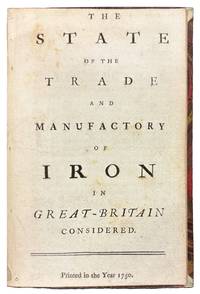
175042149London 1750. 8vo. 6 7/8 x 4 1/4 inches. 15 pp. An abridgement of the Interest of Great Britain in supplying herself with Iron circa 1747. Half red morocco and marble paper boards. Marginal notes trimmed<br/> <br/> A conflicted call for economic protectionism on the eve of industrial transformation and a snapshot of British iron trade policy in 1750 caught between timber tariffs and transatlantic competition.<br/> <br/> An important and revealing mid-eighteenth-century pamphlet addressing the British iron industry at a moment of significant economic and technological transition. This work is considered an abridged version of The Interest of Great Britain in Supplying Herself with Iron published circa 1747 and offers a pointed critique of foreign and colonial competition in iron production. The anonymous author provides a rare quantitative estimate of domestic iron output 18000 tons annually and laments the numerous challenges facing British ironmasters including the rising cost and increasing scarcity of timber then still the primary fuel used in smelting. In a notably conflicted argument the tract decries the influx of Swedish iron while expressing even greater alarm over the growth of ironworks in Britain's North American colonies viewing both as threats to the domestic market. Strikingly the pamphlet makes no mention of the use of pit coal i.e. mineral coal in iron manufacturing a technological development that would prove pivotal. This omission is particularly curious given that Lord Dudley had patented the process in 1619 and that Abraham Darby's pioneering use of coke at Coalbrookdale had been underway for over a decade by the time of this publication. The absence of such a reference suggests either a conservative industrial perspective or a lack of awareness of emergent metallurgical practices that would soon transform the industry and pave the way for Britain's dominance during the Industrial Revolution. Referenced by J.R. McCulloch in his A Select Collection of Scarce and Valuable Tracts on Commerce 1859 who found it "curious" for its data and omissions alike this tract provides not only valuable insight into 18th-century economic policy and protectionist sentiment but also a fascinating snapshot of the iron trade on the cusp of technological upheaval.<br/> <br/> ESTC T76989; Sabin 90635. McCulloch The Literature of Political Economy 1845. unknown
1702143641Paris: Nicolas de Fer 1702. Very Good. Paris Nicolas de Fer circa 1702. A hand-coloured engraved map printed surface 225 × 339 mm sheet size 250 × 361 mm. Engraved by Charles Inselin. Light tanning; a few unobtrusive spots and marks; crease to the border in the top right-hand corner with minimal loss to the marginal corner-tip; in very good condition. A map of the Philippines the Indonesian archipelago mainland Southeast Asia as far north as Taiwan and the Mariana Islands from de Fer's 'Atlas Curieux' 1700-1705. Nicolas de Fer unknown
1705M4699Paris 1705. Excellent. Size : 245x340 mm 9.625x13.375 Inches Coloring: Hand Colored Category: Maps City Maps; Maps Europe Austria unknown
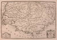
1705M5140Paris 1705. Excellent. Size : 230x345 mm 9x13.625 Inches Coloring: Black & White Category: ; Maps Europe France unknown
1715M4751Paris 1715. Very Good slight wear at the center of the fold. Size : 350x320 mm 13.75x12.625 Inches Coloring: Black & White Category: ; Maps Europe United Kingdom unknown
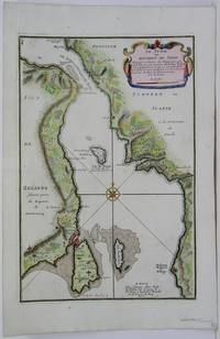
1705M5485Paris 1705. Very Good. Notes: Map of strait between Sweden and Denmark. Size : 335x225 mm 13.125x8.875 Inches Coloring: Hand Colored Category: Maps Europe Scandinavia Countries; unknown