GILLE, Philippe ; LAMBERT, MarcelLivre Rare Book
948 résultats
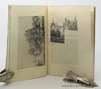
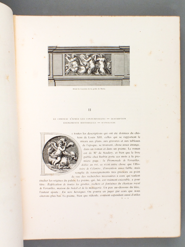
189951693Texte par Philippe Gille de l'Institut. Dessins et relevés par Marcel Lambert, 2 vol. in-folio reliure éditeur pleine percaline verte, armoiries en plat, couv. et dos conservés, Edition Nationale, Maison Mame et Fils, Tours, 1899, 2 ff., xv-308 pp et 2 ff., 297 pp.
1860B77285Gand, Hebbelynck 1860-1870 viii,306 + 25 + 12pp.richement illustré dans le texte (blasons, etc.) + 31 planches hors-texte coloriées et teintées, Manque: 1 planche (nr.F) & pp.307-315 (= partie des tables), brochure muette d'époque, qqs.rousseurs (surtout aux tranches), bon état, rare, OCLC: 55564008, [ce volume traite sur les communes Afsné (pp.1-24), Saint-Amand-lez-Gand = Sint-Amandsberg (pp.25-38), Bottelare (pp.39-68), Sint-Denijs-Westrem (pp.67-86), Destelbergen (pp.87-114), Desteldonck (pp.115-125), Dorenzele (pp.127-131), Drongen = Tronchiennes (pp.133-160), Everghem (pp.161-185), Gentbrugge (pp.187-215), Gontrode (pp.217-234), Gysenzeele (235-245), Heusden (pp.247-262), Landscauter (pp.263-274), Ledeberg (pp.275-285), Lemberge (pp.287-303), Melle (12pp.), Melsen (pp.13-25) & Vinderhaute (12pp.)], B77285
186849330Paris: Bureau de la Gazette des Beaux Arts 1868. Large 8vo 28x195 cm. Contemporary marbled wrappers spine damaged; marbled endpapers. vi:blank pp.; p. 305-325; v:blankpages page 325 and first blank pasted together. With illustrations facsimile of a letter and plate in text. With an engraving by Braquemond after a design of Rousseau "Metairie sur les bords de l'Oise". - Bound with 2 unpublished designs of Rousseau pasted in printed in 30 copies only: according to the handwritten note by the author. - Old annotations in ink on first leaf and in the same hand a dedication by the author. - The 2 unpublished drawings not in the copy of BnFGallia. Bureau de la Gazette des Beaux Arts unknown
181646401737À Twickenham, de l’Imprimerie de G. White, 1816 ; in-8, veau fauve marbré. (Reliure de l’époque). 144 pp., 1 f. de tableÉDITION ORIGINALE RARE, imprimée sur les presses particulières de la famille d’Orléans durant son exil en Angleterre. “Fils cadet du duc d’Orléans, frère de Louis-Philippe, le duc de Montpensier raconte sa longue captivité à Marseille en compagnie du prince de Conti et de la duchesse de Bourbon. Son récit est très détaillé et donne à la fois une bonne peinture des moeurs révolutionnaires et une analyse politique des principaux événements du temps. La première édition à Twickenham, tirée à l’imprimerie particulière du duc d’Orléans durant son exil en Angleterre, est particulièrement rare.” dit Fierro 1070.Bel exemplaire, grand à marges, en pleine reliure de l’époque, exécutée en Angleterre. Une charnière fendue.
1836B104151Bruxelles, Hayez 1836-1838 Complet en 2 tomes, I: ccclxxix + [6] + 654pp. + frontispice et 3 planches hors-texte, II: cccxxii + [6] + 880pp. + frontispice et 1 planche hors-texte, 29cm., reliures uniformes modernes en pleine toile grise, qqs. cachets, texte frais, bon état, Ouvrage publié par la Commission royale d'histoire (de Belgique), poids: 4.7kg., B104151
189247343Librairies-Imprimeries réunies | Paris 1892 | 14.50 x 21.50 cm | relié
1825MGUmoSÉG83Paris: Alexis Eymery 1825-26. 1825. 3 Volumes. 8vo. pp. 16ads 2 p.l. 488; 2 p.l. 438; 2 p.l. 601 2 leaveserrata. 3 engraved frontis. include. 2 portraits 1 folding engraved map & 2-page autograph facsimile. Uncut in original bds. joints & spine ends chipped several corners damaged scattered light foxing Vol. III shaken. Second Edition. Of particular interest are the sections of the memoirs relating to Ségur's service in the American Revolutionary War as a colonel under Rochambeau and his appointment 1784-89 as minister plenipotentiary to the court of Catherine II at St. Petersburg where he concluded a commercial treaty 1787 that was extremely advantageous to France. Sabin 71985 mentioning only 1 portrait & facsimile in 3rd Edn. cfMartin & Walter 3148 3rd Edn. Paris: Alexis Eymery, 1825-26. unknown
182948607Paris: F. G. Levrault 1829. Softcover. Near Fine. 1829. Pp. 90 107. 2 plates one folding. Original wrappers very light foxing throughout most pages unopened. Scarce publication on entomology by Jean Philippe Auguste Lalanne followed by a historical dictionary of butterflies. A very near fine copy. F. G. Levrault unknown
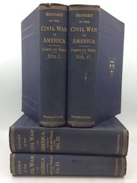
1875322863Philadelphia: Porter & Coates 1875. Hardcover. Very Good. 4 vols. A complete set of four hardcover books bound in navy blue cloth. Light wear to head and foot of each volume's spine. Owner's name stamp inside each volume. Tiny closed tear in front endpaper of volume 1. Inch-long puncture in spine of volume 2 not affecting the integrity of the binding. Back cover of volume 2 is vertically creased; milder crease in front cover of volume 4. Air bubbles under cloth on volume 3 which also has a small ink drip stain on the spine. Small nick in cloth on edge of volume 4's front cover. A few of the folding maps have closed tears but most are totally intact. Text unmarked and binding tight across the set. Very good condition overall. An important contemporary account of the American Civil War by a prince of the deposed House of Orleans a grandson of Louise Philippe of France. Philippe le Comte de Paris came to the United States to volunteer for the Union Army in 1861 where he served on the staff of General McClellan until July 1862. He later returned to Europe where he was floated as a potential candidate for restoration of the monarchy in France. However he spent much of his later life in exile in the United Kingdom. This four-volume history is complete with numerous folding maps of Civil War battlefields and forts. This edition published across 1875-1888. Porter & Coates hardcover
1824006561Paris: Crapelet Imprimeur-Libraire 1824. Book. Near Fine. Leather and Marbled Boards. First Thus. 8vo - over 7¾" - 9¾" tall. In handsome red leather and marbled boards end pages marbled top edges gilt gilt titles and decorations 4 raised band Near Fine slight rubbing to leather at tips slight foxing and toning scattered throughout. Philippe Quinault 1635-1688 was a French dramatist best known for his 14 opera librettos which he wrote for Lully. Crapelet, Imprimeur-Libraire Hardcover
187122250Paris 1871. unknown books
187122250Paris 1871. unknown
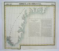
1827M2907Bruxelles 1827. Excellent. Size : 482x565 mm 19x22.25 Inches Coloring: Original Outline Coloring Category: Maps Polar Arctic Regions Alaska Greenland Iceland; unknown
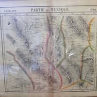
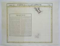
182736238Brussels Belgium: Lithographed By H. Ode. Very Good. 1827. Map. Map # 59 A Very Good primitive and early map of northwest Mexico and southwest Texas includes Chihuahua ans the southern tip of the Baja Peninsula. Latitude of the map is 24 degrees to 30 degrees and longitude is 102 degrees to 110 degrees. Of course almost all localities shown are French or Indian names. The atlas from which this is extracted is extremely rare and originally composed 6 volumes this map being from the North America volume. Lithographer Ode and Cartographer Vandermaelen produced the first lithographed atlas ever done. Condition is overall Very Good. Browning to the centerfold crease caused by glue used in attaching the tab to the original volume the two page spread measures 21" x 26 1/2" when opened out. Topigraphical features are accentuated see image. Shipping will require extra care and cost due to insurance. Photo available upon request. ; 21" x 26 1/2"; 1 pages . Lithographed By H. Ode unknown
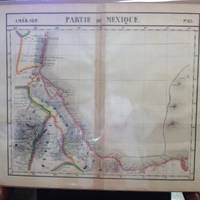
182736240Brussels Belgium: Lithographed By H. Ode. Very Good. 1827. Map. Map # 65 A Very Good primitive and early map of the southeastern Mexican coast along the Gulf of Mexico showing Vera Cruz and approaching the Yucatan. Latitude of the map is 18 degrees to 24 degrees and longitude is 92 degrees to 104 degrees. Very nice color. Of course almost all localities shown are French or Indian names. The atlas from which this is extracted is extremely rare and originally composed 6 volumes this map being from the North America volume. Lithographer Ode and Cartographer Vandermaelen produced the first lithographed atlas ever done. Condition is overall Very Good. Browning to the centerfold crease caused by glue used in attaching the tab to the original volume the two page spread measures 21" x 26 1/2" when opened out. Topigraphical features are accentuated see image. Shipping will require extra care and cost due to insurance. Photo available upon request. ; 21" x 26 1/2"; 1 pages . Lithographed By H. Ode unknown
182736246Brussels Belgium: Lithographed By H. Ode. Very Good. 1827. Map. Map # 57 A Very Good primitive and early map showing the Jamestown Virginia and Washington D. C. Area also includes Summer's island in the Bermudas. There is an inset in French with facts about the early United States. Latitude of the map is 34 degrees to 36 degrees and longitude is 77 degrees to 80degrees. Of course almost all localities shown are French or Indian names. The atlas from which this is extracted is extremely rare and originally composed 6 volumes this map being from the North America volume. Lithographer Ode and Cartographer Vandermaelen produced the first lithographed atlas ever done. Condition is overall Very Good. Browning to the centerfold crease caused by glue used in attaching the tab to the original volume the two page spread measures 21" x 26 1/2" when opened out. Topigraphical features are accentuated see image. Shipping will require extra care and cost due to insurance. Photo available upon request. ; 21" x 26 1/2"; 1 pages . Lithographed By H. Ode unknown
1825M4475Brussels 1825. Excellent. Notes: The first atlas of the world on a uniform scale. If assembled as a globe gores forms a very large globe. Size : 480x575 mm 18.875x22.625 Inches Coloring: Original Outline Coloring Category: Maps Canada North; unknown
1825M4507Brussels 1825. Very Good minor worming on the upper and lower portion of the map along the central fold proficienty repaired. Notes: The first atlas of the world on a uniform scale. If assembled as a globe gores forms a very large globe. Size : 450x545 mm 17.75x21.5 Inches Coloring: Original Outline Coloring Category: Maps West Indies Other Islands; unknown
1825M4511Brussels 1825. Very Good portion of the lower margin shaved closely minor worming on upper portion of the map proficiently repaired. Notes: The first atlas of the world on a uniform scale. If assembled as a globe gores forms a very large globe. Size : 525x565 mm 20.625x22.25 Inches Coloring: Original Outline Coloring Category: Maps Polar Arctic Regions Alaska Greenland Iceland; unknown
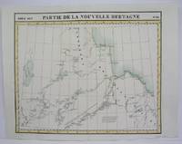
1825M4524Brusseld 1825. Very Good minor worming on upper portion of the map along the central fold proficiently repaired. Notes: The first atlas of the world on a uniform scale. If assembled as a globe gores forms a very large globe.<br><br>This map shows the western shore of Hudson Bay. Nothern Ontario Size : Coloring: Original Outline Coloring Category: Maps Canada Ontario North unknown
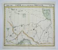
1825M4478Brussels 1825. Excellent. Notes: The first atlas of the world on a uniform scale. If assembled as a globe gores forms a very large globe.<br><br>This map shows the area from Hudson Bay to Lake Abbitibbe and notes the location of various Native tribes and trade houses. Size : 470x565 mm 18.5x22.25 Inches Coloring: Original Outline Coloring Category: Maps Canada East Quebec unknown
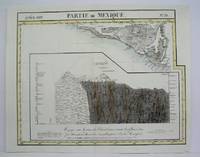
1825M4518Brussels 1825. Very Good minor worming on upper and lower portion of the map along the central fold proficiently repaired. Notes: The first atlas of the world on a uniform scale. If assembled as a globe gores forms a very large globe. Size : 465x540 mm 18.25x21.25 Inches Coloring: Original Outline Coloring Category: Maps Central America Mexico unknown
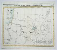
1825M4480Brussels 1825. Excellent. Notes: The first atlas of the world on a uniform scale. If assembled as a globe gores forms a very large globe.<br><br>This map show the region from Hudson Bay to Lake Superior. Noted in the map are the locations of different French forts and Native tribes. Northwest of Ontario Size : 470x563 mm 18.5x22.125 Inches Coloring: Original Outline Coloring Category: Maps Canada Ontario North; unknown
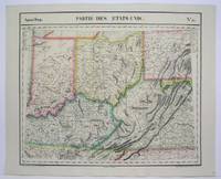
1825M4522Brussels 1825. Excellent. Notes: The first atlas of the world on a uniform scale. If assembled as a globe gores forms a very large globe. Size : 470x560 mm 18.5x22 Inches Coloring: Original Outline Coloring Category: Maps United States Midwest States; unknown
1825M4484Brussels 1825. Very Good minor worming on upper and lower portion of map along the central fold proficiently repaired. Notes: The first atlas of the world on a uniform scale. If assembled as a globe gores forms a very large globe. Size : 465x580 mm 18.25x22.875 Inches Coloring: Original Outline Coloring Category: Maps Central America Mexico unknown