335 résultats
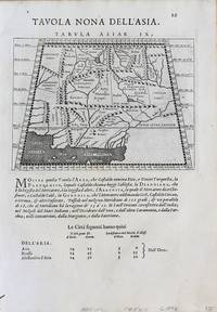
159616119Venice:: Giovanni Magini 1596-1598. Map 5 x 6.75 inches on 11.5 x 8 inch leaf. Single leaf from Giovanni Maginis Geographicae Ptolemaei 1597-1598. Revised edition of Ptolemys Geography. Copperplate engraved map of Asia. Latin text to map. Italian text to recto and verso of leaf. Large initial L below map. Engraved by Girolamo Porro. A fine impression. Scarce. Most suitable for framing. Map is 5 x 6.75 inches on leaf at 11.5 x 8 inches. Giovanni Antonio Magini 1555-1617 Italian astronomer astrologer cartographer and mathematician. Girolamo Porro 1520-1604 famous Italian engraver on wood and on copper. Maginis Geographia was first published in 1596 Latin and in 1597 & 1598 in Italian. The maps detailed and extremely attractive were engraved by the famous Porro. Authorities generally believe that they are the finest of the small size Ptolemies following those by Gastaldi done earlier. [Giovanni Magini,] unknown
1617LBW-1935[Arnhem, Joannes Jansson, 1617]. 130 x 169 mm.
1617LBW-1964[Arnhem, Joannes Jansson, 1617]. 129 x 170 mm.
1786RW1618Nancy:: Chez C. S. Lamort 1786. 1786. 4to. 2 vi 192 2 pp. 2 large folding zodiac maps. Title vignette full mottled calf leather gilt-stamped spine label raised bands; joints worn corners showing. Very good. Side-by-side translation of Ptolemy's Greek into French describing the position of the stars during Ptolemy's lifetime. / "Montignot has given us the original Greek and a French translation of the seventh book of Ptolemy's great work under the title of `Etat des etoiles fixes au second siecle' in quarto. He has given the designation of the same stars by Flamstead Flamsteed and Beyer and their position in the year 1786." – Thomas Jefferson to Joseph Willard. Chez C. S. Lamort, 1786. hardcover books
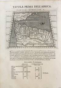
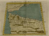
1598M8434Venice: G. Fratelli; G.A. Magini c. 1598. Very Good. Notes: Ptolemaic Map of the North west part of Africa Morocco Tabula Aphricae I Plate 1 from "Geografia cioe Descrittione Universale della Terra" published by Magini c.1598. Text in Italian.<br><br><br> Size : 140x173 mm 5.50x6.80 Inches Coloring: Black & White Category: Maps Africa North; Maps Africa West; G. Fratelli; G.A. Magini unknown
19833638099Valencia.: Vicent García. 1983. Hardcover. Falta el facsimil con los mapas . Good. 46 cm. 1 v. il. col. map. col. Encuadernación en tapa dura de editorial holandesa. Libro de estudios del facsimil. Introducción por Víctor Navarro Brotóns ; traducción y notas por Angel Aguirre Alvarez Víctor Navarro Brotóns y Enrique Rodríguez Galdeano. Tít. de la cub. : Atlas de Claudio Ptolomeo . Falta el facsimil con los mapas . ISBN: 8485094352 v.1 Geografía del mundo antiguo. Geografía regional en general. Geografía universal 913.1"01" Mapas. Atlas geográficos. Globos terráqueos 912100:528.9:091.07 Vicent García. hardcover
1915181190Munich: J.B. Obernetter 1915. Hardcover. VG- covers have heavy wear but pages of text and illustrations are clean and clear. Front cover is unnattached and heavy chipping to spine. Tan boards with brown lettering 2 preliminary leaves 180 pp many uncut bw illustrations and diagrams. Text is in Portuguese. Title translates to: "Treaty of the sphera with Theorica of the sun and the moon and the first book of Geographia by Claudio Ptolomeo." History of Portuguese nautical science at the time of the great discoveries. J.B. Obernetter hardcover books
1915181190Munich: J.B. Obernetter 1915. Hardcover. VG- covers have heavy wear but pages of text and illustrations are clean and clear. Front cover is unnattached and heavy chipping to spine. Tan boards with brown lettering 2 preliminary leaves 180 pp many uncut bw illustrations and diagrams. Text is in Portuguese. Title translates to: "Treaty of the sphera with Theorica of the sun and the moon and the first book of Geographia by Claudio Ptolomeo." History of Portuguese nautical science at the time of the great discoveries. J.B. Obernetter hardcover
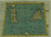
1574M7263Venice: Ruscelli c. 1574. Very Good;. Notes: Italian text on verso.<br>Early map of Sicily Malta and Sardinia beautifully hand coloured. <br>Girolamo Ruscelli 1518–1566 was an Italian mathematician and cartographer active in Venice during the early 16th century. Ruscelli is best known for his important revision of Ptolemy's Geographia published posthumously in 1574. Size : 190x265 mm 7.48x10.43 Inches Coloring: Hand Colored Category: Maps Mediterranean Islands; Ruscelli unknown
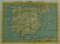
1561M7270Venice: Ruscelli c. 1561. Very Good;. Notes: Italian text on verso.<br>An early map of the Iberian Peninsula including Spain and Portugal beautifully hand coloured. <br>Girolamo Ruscelli 1518–1566 was an Italian mathematician and cartographer active in Venice during the early 16th century. Ruscelli is best known for his important revision of Ptolemy's Geographia published posthumously in 1574. Size : 195x265 mm 7.68x10.43 Inches Coloring: Hand Colored Category: Maps Europe Spain;Maps Europe Portugal; Ruscelli unknown
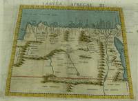
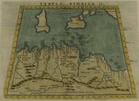
1574M7260Venice: Ruscelli c. 1574. Very Good;. Notes: Italian text on verso.<br>Girolamo Ruscelli 1518–1566 was an Italian mathematician and cartographer active in Venice during the early 16th century. Ruscelli is best known for his important revision of Ptolemy's Geographia published posthumously in 1574. Size : 189x261 mm 7.44x10.28 Inches Coloring: Hand Colored Category: Maps Africa North Egypt;Maps Africa North; Ruscelli unknown
1561M7261Venice: Ruscelli 1561. Very Good;. Notes: Italian text on verso.<br>Girolamo Ruscelli 1518–1566 was an Italian mathematician and cartographer active in Venice during the early 16th century. Ruscelli is best known for his important revision of Ptolemy's Geographia published posthumously in 1574. Size : 188x165 mm 7.40x6.50 Inches Coloring: Hand Colored Category: Maps Africa North; Ruscelli unknown
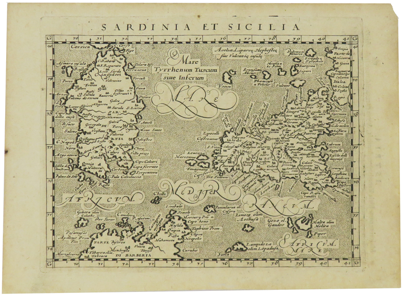
1574M7259Venice: Ruscelli c. 1574. Very Good;. Notes: Italian text on verso.<br>Girolamo Ruscelli 1518–1566 was an Italian mathematician and cartographer active in Venice during the early 16th century. Ruscelli is best known for his important revision of Ptolemy's Geographia published posthumously in 1574. Size : 190x253 mm 7.48x9.96 Inches Coloring: Hand Colored Category: Maps Africa North; Maps Mediterranean Islands; Ruscelli unknown
1574M7258Venice: Ruscelli c. 1574. Very Good;. Notes: Italian text on verso.<br>Girolamo Ruscelli 1518–1566 was an Italian mathematician and cartographer active in Venice during the early 16th century. Ruscelli is best known for his important revision of Ptolemy's Geographia published posthumously in 1574. Size : 187x262 mm 7.36x10.31 Inches Coloring: Hand Colored Category: Maps Africa North; Ruscelli unknown
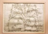
1561M11293Venice 1561. Very Good. Notes: Detailed and early map of Southeast Asia and the Malay Peninsula.<br>The map shows Ptolemy's idea of a landlocked Indian Ocean. <br>Girolamo Ruscelli 1518–1566 was an Italian mathematician and cartographer active in Venice during the early 16th century. Ruscelli is best known for his important revision of Ptolemy's Geographia published posthumously in 1574. Size : 173x232 mm 6.81x9.13 Inches Coloring: Black & White Category: Maps Asia South East Malaysia & Singapore; Maps Asia Central India & Sri Lanka / Ceylon; unknown
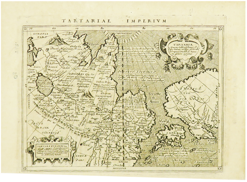
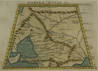
1574M7272Venice: Ruscelli c. 1574. Very Good;. Notes: Italian text on verso.<br>Map of the ancient region of Asiatic Sarmatia.<br>Girolamo Ruscelli 1518–1566 was an Italian mathematician and cartographer active in Venice during the early 16th century. He was also an alchemist writing pseudonymously as Alessio Piemontese.<br>Claudius Ptolemy better known mononymously as Ptolemy was a Greco-Roman mathematician astronomer astrologer geographer and music theorist who wrote about a dozen scientific treatises three of which were important to later Byzantine Islamic and Western European science. Size : 188x262 mm 7.40x10.31 Inches Coloring: Hand Colored Category: Maps Russia; Ruscelli unknown
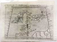
1574M11040Venice c.1574. Very Good. Notes: Map of the British Isles United Kingdom based on Ptolemy's map.<br>Girolamo Ruscelli 1518–1566 was an Italian mathematician and cartographer active in Venice during the early 16th century. Ruscelli is best known for his important revision of Ptolemy's Geographia published posthumously in 1574. Size : 190x262 mm 7.48x10.31 Inches Coloring: Black & White Category: Maps Europe United Kingdom; unknown
1598M8431Venice: G. Fratelli; G.A. Magini c. 1598. Very Good. Notes: Ptolemaic Map of Tabula Asiae X Plate 10 from "Geografia cioe Descrittione Universale della Terra" published by Magini c.1598. Text in Italian.<br><br><br><br> Size : 140x173 mm 5.50x6.80 Inches Coloring: Black & White Category: Maps Asia Central Afghanistan Pakistan; Maps Asia Central India & Sri Lanka / Ceylon; G. Fratelli; G.A. Magini unknown
1598M8430Venice.: G. Fratelli; G.A. Magini c. 1598. Very Good. Notes: Ptolemaic Map of Tabula Asiae IX Plate 9 from "Geografia cioe Descrittione Universale della Terra" published by Magini c.1598. Text in Italian. Size : 140x173 mm 5.50x6.80 Inches Coloring: Black & White Category: Maps Asia Central Afghanistan Pakistan; Maps Asia Central Turkmenistan Uzbekistan Tajikistan Kyrgyzstan Kazakhstan; Maps Asia Central India & Sri Lanka / Ceylon; G. Fratelli; G.A. Magini unknown
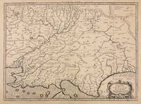
1730332605Amsterdam: R. & W. Wetstein William Smith 1730. unbound. Map. Copper plate engraving. Image measures 13.25" x 18".<br/> <br/> Printed circa 1730 this map of the Indian subcontinent was based on Ptolemy's 2nd century map and refined by Mercator beginning in the 16th century. This 1730 edition features graticule lines and a cartouche with a cherub. Covering an area from the Himalayan Mountains south to the Indian Ocean the map names many cities and topographical features. The map is in good condition wear to edges small tear to top of original center fold line. <br> <br> Gerard Mercator 1512-1594 was an accomplished mathematician cartographer globe maker and engraver best known for the Mercator Projection. Incorporating the newly accepted fact that the world is round Mercator was able to render longitude lines consistently straight on a chart. Although this requires some distortion it was of great use for navigators; furthermore it has since become historically important as it is still the most commonly used projection today.<br/> <br/> R. & W. Wetstein, William Smith unknown
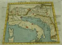
1574M7262Venice: Ruscelli c. 1574. Very Good;. Notes: Italian text on verso.<br>An early map of Italy the Adriatic Sea. Croatia Dalmatia Slovenia and Serbia beautifully hand coloured. <br>Girolamo Ruscelli 1518–1566 was an Italian mathematician and cartographer active in Venice during the early 16th century. Ruscelli is best known for his important revision of Ptolemy's Geographia published posthumously in 1574. Size : 186x266 mm 7.32x10.47 Inches Coloring: Hand Colored Category: Maps Europe Italy; Maps Europe Balkans; Ruscelli unknown
15617550Carte par Ptolémée. Produite sur cuivre pour la première fois par Ruscelli. Nomenclature latine "Tabula Asiae IIII". Descriptif au dos en italien.Venise, chez Valgrise 1561.Carte trapézoïdale sous chemise cartonnée, mais envoyée sans le support. Carte très primitive et rare. Très bon état. Format in-4° (25x19).
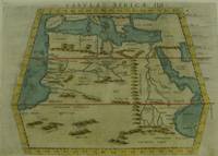
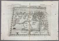
1574005867Venice: Vincenzo Valgrisi 1574. 1574 Edition. Engraving on Copper. Very Good. Double-page copperplate engraved map with letterpress text. Image: 26 x 19 cm. Sheet: 34 x 24 cm. A highly decorative and historically significant 16th-century map of North and Northeast Africa derived from Ptolemy’s 2nd-century geography. The map was published in the 1574 edition of Geographia edited by Girolamo Ruscelli and printed in Venice by Vincenzo Valgrisi. This is “Tabula Africae III†the third of Ptolemy’s Africa maps focusing on: Libya Egypt Cyrenaica Thebes and parts of Arabia Prominent classical sites including: Alexandria Cyrene Memphis Thebes Ptolemais Ammonis templum Mountain chains rivers and desert regions in stylized Renaissance form The map features Latin titling and classical toponyms while the verso contains the original Italian commentary explaining the geography cities and coordinates. CONDITION: Very good. Strong impression with clear platemark. Central fold as issued. Mild age toning and minor wear to margins. Backed at top center. Verso complete with full letterpress text Tavola Terza d’Africa Antica. Note: only this 1574 edition contains Vincenzo Valgrisi's elaborate printer's emblem showing: A lion leaping or attacking a smaller animal often interpreted as a fox and a large bird resembling an ostrich standing nearby. Vincenzo Valgrisi unknown
1561LBW-5048[Venise, 1561]. 184 x 245 mm.