CHRISTIAN PITOISMareMagnum

30 547 résultats
Storia delle conquiste, delle vittorie e nuove scoperte de' francesi dopo la presa d'Algeri fino ai giorni nostri. 2voll.-formato in 8°-legatura in mezza pelle con carta marmorizzata ai piatti- 868+720 pagine-95 illustrazioni eseguite in litografia con colorazione a mano coeva, 60 nel primo vol. e 35 nel secondo vol.- piccolo restauro a pagina 720 ed al''ultima tavola del II vol.-pubblicato a Firenze presso Civelli 1850-1851. Legatura da riordinare.
189279700Leipzig: Abel Mueller 1892. Gebunden. Abel + Mueller unknown
1907C47656Romae, C.De Luigi 1907-1908 3 volumes (complete); LXIV,525 + xi,534 + vi,573pp.with folding map, with alphabetical index, halfcloth bindings, 27cm., fine condition, [introduction & notes in latin, d'Almeida's original text in portugese]
3 volumes (complete); LXIV,525 + xi,534 + vi,573pp.with folding map, with alphabetical index, halfcloth bindings, 27cm., fine condition, [introduction & notes in latin, d'Almeida's original text in portugese]
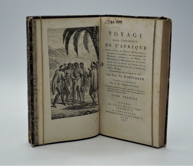
1801PHO-20première édition française bon exemplaire
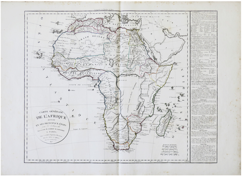
1827LBW-6177Paris, chez l'auteur, 1827. 503 x 627 mm + tableau de 412 x 542 mm.
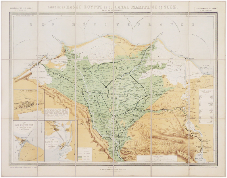
1882LBW-7852Paris, E. Andriveau-Goujon, 1882. En 18 sections montées sur toile et repliées, formant une carte de 540 x 698 mm ; étiquette au dos de l'éditeur E. Andriveau-Goujon."
177079603Paris: Pillot 1770. Gebunden. Pillot unknown
Cinque tomi che raccontano i viaggi di Giovanni Battista Brocchi in in Africa e Medio Oriente. La brossura del primo libro è stata conservata con dello scotch. In generale i volumi sono discretamente mantenuti, con qualche inevitabile segno del tempo. L'opera è composta da cinque volumi, suddivisi in 59 fascicoli; ogni fascicolo è composto a sua volta da 64 pagine. Questa è una delle prime 400 stampe dell'opera e contiene, di conseguenza, il ritratto dell'autore nelle prime pagine. In aggiunta Atlante del giornale dei viaggi con numerose tavole di rara bellezza.."così il leggitore dell'Opera viene rimandato all'Atlante per una più ampia spiegazione delle figure stesse" come recita l'introduzione
185579782Graz: Kienreich 1855 - 1861. Gebunden. Kienreich unknown
1892197906-1Wien, Hölder 1892. XVIII, 877 S. Mit 179 Original-Illustrationen u. 2 großen Karten in reichem Farbendruck. Original-Leinenband
170279781Amstelaedami: Georgium Gallet 1702. Gebunden. Georgium Gallet unknown
169279621Amsterdami: Henricum Wetstenium 1692. Gebunden. Henricum Wetstenium unknown
170244518Amstelaedami: Georgium Gallet 1702. Gebunden. Georgium Gallet unknown
167579783Vesaliae: Andreaw ab Hoogenhuysen 1675. Gebunden. Andreaw ab Hoogenhuysen unknown
167579784Vesaliae: Andreaw ab Hoogenhuysen 1675. Gebunden. Andreaw ab Hoogenhuysen unknown
167579785Vesaliae: Andreaw ab Hoogenhuysen 1675. Gebunden. Andreaw ab Hoogenhuysen unknown
187335248C. F. Winter'sche Verlagshandlung | Leipzig & Heidelberg 1873 | 18.50 x 26.50 cm | relié
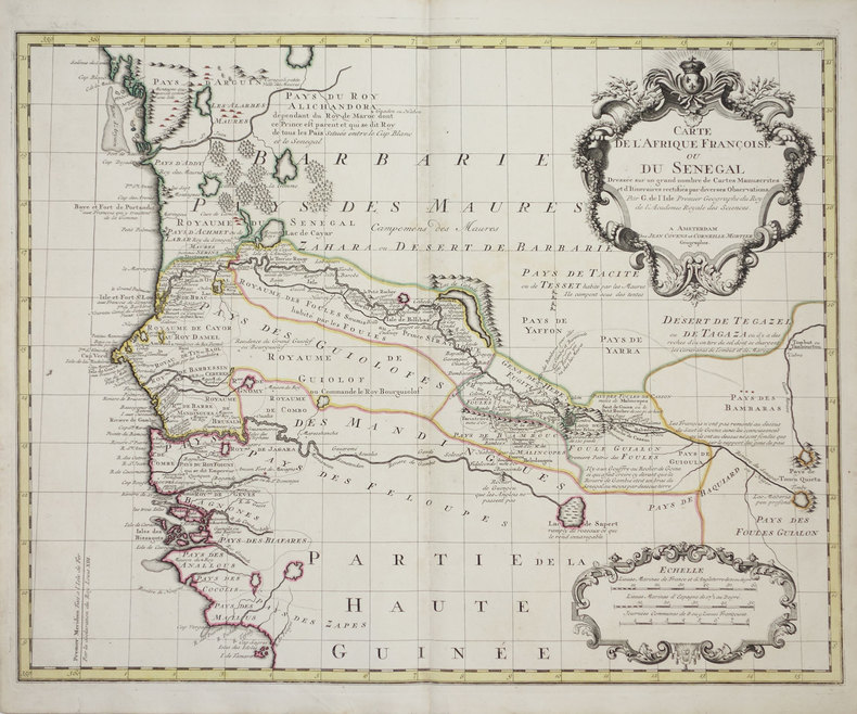
1726LBW-3179Amsterdam, Jean Covens et Corneille Mortier, [1726-1730]. 493 x 620 mm.
189565433Librairie Hachette | Paris 1895 | 24 x 31.50 cm | relié
1893186734Roma; Milano, Poliglotta; Giuseppe, 1885-1893. 4°. M. zahlr. Abb. OBr. Umschl. teils angeschmutzt u. angerissen. Einige Buchbl. gebrochen. Fehlt: 11 S. 129-Schluß.
1649LBW-3606[1649]. 286 x 373 mm.
1608LBW01b3a[Anvers, 1608]. 335 x 486 mm.
Suggestiva mappa storica dell'Oceano Indiano e regioni contigue del Medio Oriente, dell'India e del Sud-Est asiatico, pubblicate da Ortelius nel suo Parergon.La mappa include tre cartigli, raffiguranti le carte del Polo Nord, del Periplo di Annone e dell'errore di Ulisse. Le fonti cartografiche di questa mappa sono basate sull'Odissea di Omero, Isacco Tzetzes, Ovidio e Ausonio. Tratta dal Parergon, il primo atlante storico mai pubblicato. Fu inizialmente concepito da Ortelius come appendice del suo Theatrum Orbis Terrarum ma visto il notevole successo di queste carte storiche divenne in seguito un lavoro indipendente e rimase la fonte principale di tutti i lavori simili per tutto il XVII secolo. Come sottolinea Koeman “il Parergon deve essere considerato come lavoro personale di Ortelius. Per quest'opera, infatti, diversamente dal Theatrum, non copiò le mappe di altri cartografi, ma ne disegnò lui stesso di nuove ed originali…prese luoghi, regioni e territori delle civiltà classiche illustrandone e spiegandone la storia, una materia molto vicina al suo cuore. Le mappe e le lastre del Parergon devono essere valutate come le più importanti incisioni che rappresentano il diffuso interesse per la geografia classica nel XVI secolo”. Il Theatrum Orbis Terrarum e che è considerato il primo vero “atlante” moderno. L’opera fu pubblicata in 7 lingue e 36 edizioni, per il quale – nel 1570 - Ortelius ottenne il privilegio, ovvero una sorta di diritto d'autore che impediva ad altri cartografi di pubblicare i propri lavori. Il Theatrum rappresentava il lavoro più avanzato del lavoro della descrizione cartografica. L’Ortelius vi raccolse il sapere geografico e cartografico del suo tempo, proponendo in 147 spettacolari tavole incise l’immagine più fedele del mondo allora conosciuto e, in alcune straordinarie “carte storiche”, regioni e itinerari tratti dalla letteratura, dalla mitologia, dalla tradizione. Incisione in rame, fine coloritura, in ottimo stato di conservazione. Striking historical map of the Indian Ocean and contiguous regions of the Middle East, India and Southeast Asia, published by Ortelius in his Parergon.The map includes insets of the North Pole and "Annonis Periplus" and "Ulyssis Errores" which is centered on Greese. The cartographic sources of this map are based on Homer's Odyssee, Isaac Tzetzes, Ovidius and Ausonius.King Hanno from Carthago is supposed to be the first to sail around the continent of Africa to reach the Arabian sea, and incidentally also the first to tame a lion. Ortelius states that the inset of Hyperborei (the Pole) 'for better beautifying or proportioning of this map', and to remind the reader that in spite of the best efforts of modern explorers, a passage to the Far East via the North Pole has not yet been found by the English or the Dutch. Map taken from the Parergon, the first historical atlas ever published. It was initially conceived by Ortelius as an appendix to his Theatrum Orbis Terrarum, but given the considerable success of these historical maps it later became an independent work and remained the main source of all similar works throughout the seventeenth century. Koeman wrote: "This atlas of ancient geography must be regarded as a personal work of Ortelius. For this work he did not, as in the Theatrum, copy other people's maps but drew the originals himself... He took many places and regions from the lands of classical civilization to illustrate and clarify their history, a subject very close to his heart... The maps and plates of the Parergon have to be evaluated as the most outstanding engravings depicting the wide-spread interest in classical geography in the 16th century." The Theatrum Orbis Terrarum, which is considered the first true modern "Atlas". The work was published in 7 languages and 36 editions, for which - in 1570 - Ortelius obtained the privilege, a kind of copyright that prevented other cartographers from publishing his works. The Theatrum represented the most advanced work of cartographic description. Ortelius collected in it the geographical and cartographic knowledge of his time, proposing in 147 spectacular engraved plates the most faithful image of the world then known and, in some extraordinary "historical maps", regions and routes taken from literature, mythology, tradition. Copper engraving, contemporary coloring, in good condition.
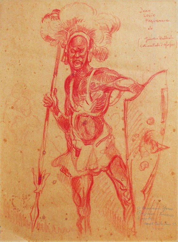
1940LBW-5274Vers 1940. Deux dessins originaux sur papier (320 x 235 mm), signés et légendés.