CROSS (Joseph).Livre Rare Book
34 270 résultats
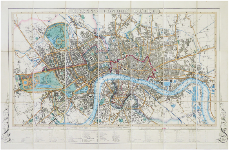
1843LBW-7239London, J. Cross, [circa 1842-1843]. En 21 sections montées sur toile et pliées, formant un plan de 477 x 740 mm ; plats de papier bleu au dos, protégeant le plan une fois replié.
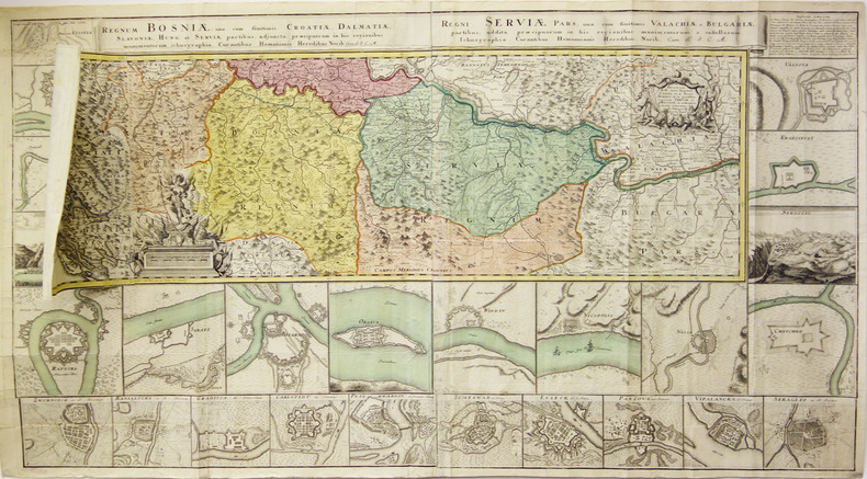
1740LBW-1799Nuremberg vers 1740 En 4 feuilles jointes de 605 mm x 1,11 m, dont une partie mobile de 310 x 185 mm.
Carte Geographique representant la Mer Mediterranée ou la seconde Partie du Theatre de la Guerre entre les Russes et les Turcs C'est-à-dire les Roiaumes, les Etâts, les Provinces et les Diverses Isles situées dans la dite Mer, avec la Mer Noire ou Pont Euxine et une Partie de la Province Georgie en Asia / Par Tobie Conrad Lotter Geogr. À Augsbourg 1770.Bellissimo esemplare, stampato su tre fogli non uniti, magnifica coloritura editoriale, in perfetto stato di conservazione. La mappa fu stampata nel mezzo della guerra russo-turca del 1768-1774. Lotter e altri editori hanno fornito al pubblico mappe su cui poter seguire l'avanzamento di questo conflitto.La guerra russo-turca del 1768-1774 fu un conflitto decisivo che portò l'Ucraina meridionale, il Caucaso settentrionale e la Crimea nell'orbita dell'Impero russo. Tobias Conrad Lotter (1717 - 1777) fu un incisore ed editore di mappe tedesco. Lotter sposò Euphrosina Seutter (1709-1784), figlia maggiore dell’editore Matthäus Seutter. Cominciò a lavorare nell'attività cartografica del suocero verso il 1740. Tra il 1740 e il 1744 produsse, sotto la direzione di Seutter, l'Atlas minor, Praecipua orbis terrarum imperia, regna et provincias, Germania potissimum tabelli. Alla morte di Seutter (1757), gli successe suo figlio, Albrecht Karl Seutter (1722-1762). Le lastre delle mappe di Suetter furono successivamente divise tra Lotter e l'editore Johan Mitchell Probst (1727 - 1776). Con il sostegno dei suoi figli, Tobias Conrad Lotter riuscì a costruire il successo economico e la reputazione professionale del suocero. Col tempo, Lotter divenne uno dei più importanti editori di mappe della metà del XVIII secolo che lavoravano nella scuola tedesca. Carte Geographique representant la Mer Mediterranée ou la seconde Partie du Theatre de la Guerre entre les Russes et les Turcs C'est-à-dire les Roiaumes, les Etâts, les Provinces et les Diverses Isles situées dans la dite Mer, avec la Mer Noire ou Pont Euxine et une Partie de la Province Georgie en Asia / Par Tobie Conrad Lotter Geogr. À Augsbourg 1770.Printed on 3 sheets, joined. Upper and lower margin cut close to the neat line, as issued. Full body colour.A beautiful map of the Mediterranean Sea. Embellished with three compass roses and sailing vessels, including a scene on a naval battle in the Atlantic off of Gibraltar.The map was printed in the middle of the Russo-Turkish War of 1768–1774. Lotter and other published provided the public with maps on which they could follow the progress of this conflict.The Russo-Turkish War of 1768–1774 was a decisive conflict that brought Southern Ukraine, Northern Caucasus, and Crimea within the orbit of the Russian Empire.Following the border incident at Balta, Sultan Mustafa III declared war on Russia on September 25, 1768. The Turks formed the alliance with the Polish opposition forces of the Bar Confederation, while Russia was supported by Great Britain, who offered naval advisers to the Imperial Russian Navy.The Polish opposition was defeated by Aleksandr Suvorov. After that, he was transferred to the Turkish theatre of operations, where in 1773 and 1774 he won several minor and major battles for Russia following the previous successes of the Russian Field-Marshal Count Peter Rumiantsev at Larga and Kagul. Tobias Conrad Lotter (1717 - 1777) was a German engraver and map publisher. Lotter married Euphrosina Seutter (1709-1784), elder daughter of Matthäus Seutter. He began working at his is father-in-law's map business about 1740. Between 1740 and 1744 he produced, under Seutter's imprint, the Atlas minor, Praecipua orbis terrarum imperia, regna et provincias, Germania potissimum tabelli. Upon Seutter's death, in 1757, the firm's stock was taken over by his son, Albrecht Karl Seutter (1722-1762), who himself died in 1762, just a few years later. The remaining Suetter map plates were subsequently divided between Lotter and the publisher Johan Mitchell Probst (1727 - 1776). With the support of his sons, Matthäus Albrecht (1741-1810), Georg Friedrich (1744-1801) and Gustav Conrad (1746-1776), Tobias Conrad Lotter succeeded in building on the economic success and professional reputation of his father-in-law. In time, Lotter became one of the most prominent mid-18th century map publishers working in the German school. Copperplate with fine original colouring, good condition.
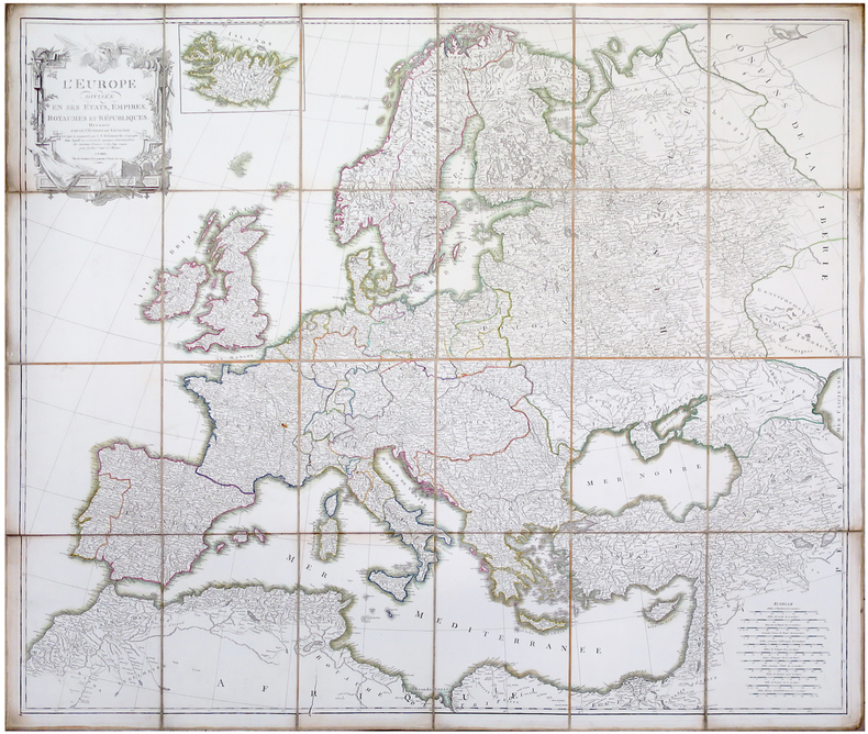
1805LBW-6489Paris, C.F. Delamarche, [circa 1805]. En 24 sections montées sur toile et pliées, formant une carte de 1 x 1,14 m.
Decorativa carte-a-figures della Francia, pubblicata nell'atlante di John Speed "A Prospect of the most famous part of the World" - edizione del 1676 con l'imprint di Roger Rea.Dieci figure decorano i due margini laterali, e mostrano, tra gli altri, il re, la regina, un commerciante, un avvocato. Nel margine superiore corrono le vedute di otto città, tra cui Parigi, Orleans e Bordeaux.Incisione su rame, finemente colorata a mano, in ottimo stato di conservazione. Al verso, descrizione della Francia in lingua inglese. Beautiful carte-a-figures map covers France and displays the various regions, published in A Prospect of the most famous part of the World" - edition of 1676, with Roger Rea's imprint.The map includes a decorative title cartouche and a key explaining the symbols used to identify various cities and towns. It is decorated across the top with views of eight cities, Angers, Poitiers, Orleans, Paris, Rouen, La Rochelle, Bordeaux and Calais. The panels down both sides depict pairs of men and women of the region in period dress. A description of France in English appears verso.Copper engraving, hand coloured, in very good condition.
2025__1041053053Routledge 2025. Hardcover. New. 34 edition. 652 pages. 11.00x8.25x1.50 inches. Routledge hardcover
Z1-Q-008-02804Europa Publications Ltd. Used - Good. Ships from UK in 48 hours or less usually same day. Your purchase helps support Sri Lankan Children's Charity 'The Rainbow Centre'. Shows some signs of wear but in good overall condition. 100% money back guarantee. We are a world class secondhand bookstore based in Hertfordshire United Kingdom and specialize in high quality textbooks across an enormous variety of subjects. We aim to provide a vast range of textbooks rare and collectible books at a great price. Our donations to The Rainbow Centre have helped provide an education and a safe haven to hundreds of children who live in appalling conditions. We provide a 100% money back guarantee and are dedicated to providing our customers with the highest standards of service in the bookselling industry. Europa Publications Ltd unknown
9287175594New. Brand new and still unused unknown
9041101934New. Brand new and still unused unknown
9287176884New. Brand new and still unused unknown
9287175454New. Brand new and still unused unknown
9024735394New. Brand new and still unused unknown
9041103465New. Brand new and still unused unknown
9024717175New. Brand new and still unused unknown
9041112456New. Brand new and still unused unknown
9024718635New. Brand new and still unused unknown
9024717841New. Brand new and still unused unknown
9024711169New. Brand new and still unused unknown
9024715040New. Brand new and still unused unknown
9024718384New. Brand new and still unused unknown
1857430786New. Brand new and still unused unknown
1857430557New. Brand new and still unused unknown
185743062XNew. Brand new and still unused unknown
1857430751New. Brand new and still unused unknown
18300005666London: Longman Rees Orme Brown and Green 1830. Second edition revised & enlarged. Hardcover. Very Good. 24 plates including lithographs with additional hand coloring and of which 6 of the 7 maps are folding maps - of which 1 is a wonderful panorama. Octavo x 148pp. contemporary half calf green marbled boards extremities rubbed foxing contemporary obituary of Auldjo tipped to free endpaper. <br/><br/> Auldjo was the British Consul at Geneva. He was the 1st Scotsman and only the 7th person to reach the peak of Mont Blanc in 1827. That he was a notable artist is proven by his sketches here. The 1828 1st edition was a quarto. " . the author has selected the present size octavo as more convenient than that in which it was originally published. In adapting the lithographic embellishments he has been enabled to improve them; and he has added two maps of extraordinary merit. Several additions have been made to the work -- Preface to the Second Edition." Presentation Copy inscribed by Auldjo to William Forsyth Grant probably Dr. Wm. F. Grant of Jamaica d.1834 which may explain the foxing. Neate 38b. 24 plates including lithographs with additional hand coloring and of which 6 of the 7 maps are folding maps - of which 1 is a wonderful panorama. Longman, Rees, Orme, Brown, and Green hardcover