Darton, William [China]Biblio.com
25 870 résultats
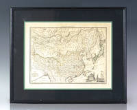
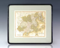
1812137293London: William Darton 1812. Hand-colored engraved nineteenth century Map of China by English cartographer William Darton. One page hand-colored. In very good condition. Matted and framed. The entire piece measures 16 inches by 14.5 inches. William Darton unknown
1974006070No Place: China Painting Association 1974. Book. Near Fine. Pictorial Printed Wrappers. First Edition. Elephant Folio - over 15" - 23" tall. Both volumes Near Fine small marginal stains first 3 pages of No. 1. China Painting Association Paperback
197829045London and New York: Sotheby Parke Bernet 1978. 1st. Hardcover. Fine/Very Good. 13.8x10.0x2.5in. in slipcase; dust jackets lightly worn at extremities small chip at top edge of back panel of volume II very good slipcase. Dust jacket in clear protector. <br>The catalogue of the Mottahedeh collection the largest privately held collection of Chinese export porcelain. With 103 color plates and 700 monochrome illustrations. <br>704pp 11.69lb 13.8x10.0x2.5in <br>EXTRA SHIPPING CHARGES NECESSARY Sotheby Parke Bernet hardcover
107884GILES 2018-06-05. Hardcover. Like New. 11x9x0. Brand new still in publisher's shrink wrap. Large format hardcover in jacket. oversized and overweight. Please email for photos. GILES hardcover
1812137350Paris 1812. Fine detailed nineteenth century map of China by Dano-French geographer Conrad Malte-Brun. One page. In near fine condition. Double matted and framed. The entire piece measures 18 inches by 14.75 inches. Dano-French geographer and journalist Conrad Malte-Brun sometimes referred to simply as Malte-Brun is perhaps best remembered for coining the name for the geographic region Oceania French Océanie around 1812 as well as the name Indo-China. He was the founder of Les Annales des Voyages in 1807 and Les Annales des Voyages de la Géographie et de l'Histoire in 1819 which encouraged observations and reports as a basis for research. He became well known after contributing Tableau de la Pologne a treatise on the geography of Poland in 1807 as the First Empire troops established French tutelage in the region. In 1822-1824 he served as the first general secretary of the newly founded Société de Géographie. unknown
201135113Burton MI: Subterranean Press 2011. Limited edition. Head of spine bruised a fine copy in a fine dust jacket with slight crease to head of spine. 35113. Octavo cloth. One of 376 copies of which this is one of 350 numbered copies signed by Miéville. The author's well-received second novel preceded by KING RAT 1998 "the first of three independent works set in the fictional world of Bas-Lag a world where both magic referred to as 'thaumaturgy' and steampunk technology exist . In an interview Miéville described this book as 'basically a secondary world fantasy with Victorian era technology. So rather than being a feudal world it's an early industrial capitalist world of a fairly grubby police statey kind!'"- Wikipedia. "Extremely complex fantasy with strong surrealistic dystopian elements." - Sargent British and American Utopian Literature 1986-2009. The novel won the British Fantasy Society's August Derleth Award in 2000 and the Arthur C. Clarke Award in 2001. It was a Hugo and Nebula nominee. Reference: Anatomy of Wonder 2004 II-763. Broderick and Di Filippo Science Fiction: The 101 Best Novels 1985-2010 #62. Subterranean Press unknown
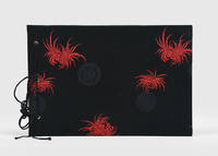
1920180565China: c.1920s. An attractive handmade gift for the tourist market the delightful papercuts depicting rural scenes and figures. The large example on the first page incorporates the motif "double happiness" within a setting of birds flowers and foliage. Landscape octavo. With 20 handmade papercuts some embellished with colour pieces of textile on 10 leaves glassine guards. Original black brocade boards with black and red embroidered decoration tied with black chord through three holes. Binding smart small mark on read board occasional spotting internally: near-fine. hardcover
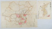
1902220266Japan. No date. Circa1902. Two very attractive colour folded manuscript maps one showing China and the other Korea. <br> <br>Map of China: Watercolour map 48 x 63.5cm. Closed tear now professionally repaired. <br> <br>Map of Korea: Finely detailed watercolour map a few tiny holes very neatly repaired on the verso with archival washi. 33 x 24.5cm Two delicate hand-painted maps one of China and one of Korea produced by a Japanese student cartographer named Koike Tokushige 小池徳重. <br> <br>The undated map of China appears to have been produced in the first five years of the twentieth century: a time when Japan had recently colonized Taiwan and when Japanese economic and political interest in the region was rapidly expanding. The inscription on the map suggests that it was a third year college project. But the high level of detail suggests that the artist had considerable experience of map making. The map of China shows the main provinces rivers major transport routes the Great Wall and the location of key cities although the names of the cities are not included. It also shows outlines of the Korean Peninsula Taiwan and the Japanese island of Kyushu but not the rest of Japan. <br> <br>The map of Korea is more detailed. It provides an accurate outline of the Korean Peninsula with careful hatching indicating changes in elevation. Rivers and major road routes are shown on the map and the locations of major towns are marked though only Busan and Incheon are named. Dotted lines show coastal sea routes and routes between Kyushu and Busan and between Incheon and China. The map shows the Gyeongin railway line between Seoul and Incheon which was completed in 1899 and route of the Gyeongbu railway line between Busan and Seoul whose construction started from both ends in 1901. But the map depicts only small sections of this line close to Seoul and Busan as being completed with the rest more lightly outlined to show the projected route implying that the map was drawn around 1901-1902 and certainly before the Gyongbu line was opened in 1904. <br> <br>Inserted text gives the land area and population of Korea. Rather strangely though the figure given for the Korean population is vastly underestimated. Ikeda gives this as 5.7 million when in fact at that time is was around 18 million. . unknown
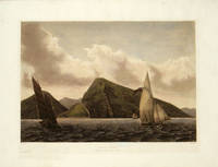
1833199435Paris.: Arthus Betrand. 1833-1835. Aquatint with handcolour 22.1 x 32 cms; 32.2 x 46.4 cms sheet including platemark "La Favorite" blindstamp at the foot light cockling to paper edge-toning the image a fine dark impression in very good condition. A fine view of the Fort of Bocca-Tigris in the Pearl River delta just downstream from Canton Guangzhou; one of the many fortifications protecting this strategic route of the China Trade to Canton. This atmospheric image of the fort with a junk and a yacht sailing in the river in the foreground is from the official account of the Laplace voyage in the Favorite 1830-32 by voyage artist François-Edmond Pâris 1806-1893. The strait is now crossed by the Humen Pearl River Bridge . (Arthus Betrand). unknown
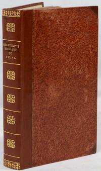
1797223222London.: Printed for John Stockdale Piccadilly. 1797. 2 folding maps 30 copper plate engravings including engraved title page 6 xv 475pp 2 Errata and Directions to the Binder 3 publisher's advertisements; recent half calf early mottled-papered boards spine gilt decorated and lettered to style flecked fore edges 22 x 13.5cm boards a little rubbed the text age-toned and the plates with marginal foxing previous owner's bookplate to the front pastedown and the neat inscription of three others to the prelims a very good copy of the octavo edition. Handsome copy of the abridged octavo edition of Lord Macartney's voyage and embassy to China 1792-4 by his secretary and "Minister Plenipotentiary in the absence of the Ambassador" George Staunton. Many of the illustrations are after drawings by William Alexander whose "views remained unrivalled until the era of photography" Lowendahl. . Printed for John Stockdale, Piccadilly. hardcover
1879168207Shanghai.: American Presbyterian Mission Press. 1879. xx 259pp the original wrappers have at some stage been resewn and bound into a quarter leather binding with linen spine the inner edge has been re-enforced and is discoloured. Additions & Corrections have been bound in. New endpapers one page has an archival tape repair to the inner hinge. Paper slightly browned and a little dusty in places rough cut edges corners rubbed but a very good firm copy. 25 x 16.5cm. Thomas Watters 1840 - 1901 was a noted scholar-consul of his day. He spent over 32 years in China serving in Taiwan Fuchow Swatow Ichang Canton and elsewhere and was acting Consul-General in Korea 1887-1888. . American Presbyterian Mission Press. hardcover
1993129207Berlin, Ernst & Sohn, 1993.
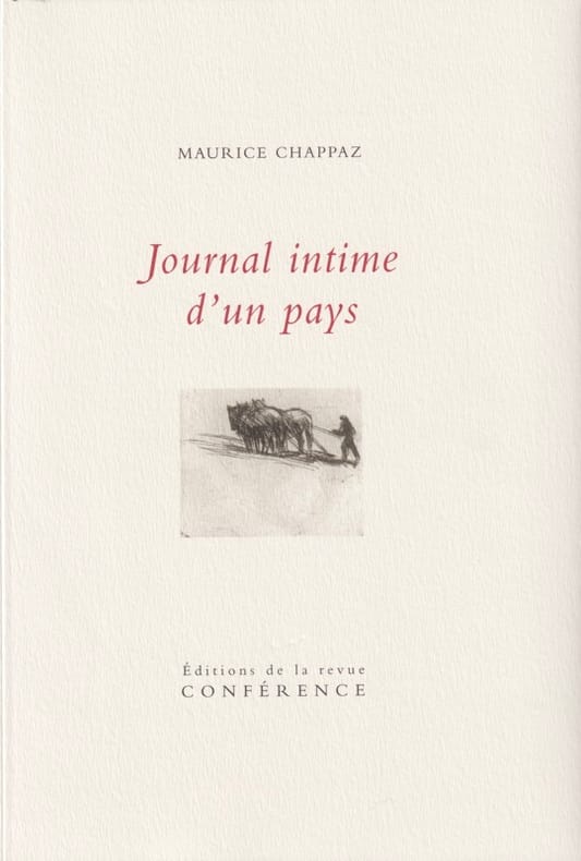
201121819Paris, Édition de la revue Conférence, collection Choses humaines, 2011. Grand in-8 de 1214 pages, couverture rempliée, illustrée et imprimée en couleurs.
186220300Paris, E. Dentu, Librairie de la Société des gens de lettres, 1862. Grand in-12 de [6]-XVIII-298-[2] pages, demi-maroquin brun à coins, dos à nerfs, tête dorée. Couvertures et dos conservés. La reliure est signée Stroobants.
Two volumes. Quarto. Pp. xii, 608; 531. Plus portrait frontispiece, engraved by L. Schiavonetti after H. Edridge, which is very foxed due to paper quality, affecting title-page as often. Hardcover, uniformly bound in contemporary half blonde calf extra, marbled boards, blind ruled sides, spine with raised bands decoratively tooled in gilt, blind embossed compartments, 2 dark-green gilt lettering-pieces in remaining compartments, "London 1807" gilt-stamped at foot of each spine, bit discoloured, extremities bit rubbed, chafed, ownership signature, first free endpaper of one volume creased. Attractive wide-margined copy in a very good condition, very clean interior. ~ First edition. Important work for its account of Macartney's embassy to China. Lust, 501; Cordier BS, 2391. ~ Provenance: from the private library of Stafford H. Northcote, with his attractive engraved armorial bookplate "Christi crux est mea lux" ("The cross of Christ is my light") to each volume. Sir Stafford Henry Northcote (1818-1887), 1st Earl of Iddesleigh, was Secretary of State for India (1867), Chancellor of the Exchequer (1874-1880), and British Foreign Secretary (1886). His(?) bookmark, silken red, hand embroidered with the word "Faith", is loosely inserted in volume II. ~ TO THIS IS ADDED: Loosely inserted in this copy are 2 engraved prints, apparently collected by Northcote. These are as follows: I. "View of the City of Batavia, with a Distant View of the Mountain Overhanging the Valley of the Upas, or Poison Tree. (From Authenticated Documents.)" Oblong, 200 x 260mm. Engraved by T. Dixon, after W. M. Craig, published by H. Fisher, London, 1826. II. "Sir James Brooke. (Raja of Sarawak.) From a Photograph taken expressly for the Work by Herbert Watkins." Portrait, 245 x 170mm. Stipple engraved by W. Edwards, published by James S. Virtue, London, undated. Both prints are in fine condition.
13008Paris, Imprimé par Autorisation du Roi, à l'Imprimerie Royale, MDCCCXLI I (1842). 1 volume in-4, xvi, 314 pp., reliure moderne plein cuir bleu, couverture imprimée conservée, très bon état. Ouvrage accompagné d'une Carte de la Chine, dressée par M. Klaproth.
11522Hanoi, Imprimerie d'Extrême-Orient, 1920. Bulletin de l'Ecole Française d'Extrême-Orient, Tome XX, Vingtième Année. (Tome complet) 1 volume in-8, 150-124-128-270 pp. , enrichi de XLIV planches hors texte, reliure ancienne demi-maroquin à coins, dos à nerfs, plats cartonnés marbrés, très bon état. A very good copy, rebound in contemporary half leather.
9869Genève, H. Georg, Libraire-Editeur - Paris, Ernest Leroux - London, Trubner and Co., 1876 et 1883. 2 volumes in-4, X-520 pp. (Tome I) - IV-626 pp. (Tome II), reliés plein cuir moderne, couvertures imprimées conservées, très bon état intérieur.
12389Pékin, Lotus Court, At the Lotus Court, 1945 (second edition), printed in China by the Catholic University Press, Peking 1 large volume in-4, 42 pp., hard illustrated cover with woodcut affixed as issued, with numerous illustrations.. Very good condition. Very scarce edition from Peiping.
11640Shanghae, Printed at the London Mission Press, 1863. 1 volume in-8, rebound in modern leather, printed covers kept, 223 pp., a good copy.
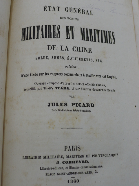
6961Paris, Librairie Militaire, Maritime et Polytechnique J. Corréard, 1860. 1 volume in-8, 534 pp., reliure demi-basane à coins, couvertures conservées mais défraîchies, bon état intérieur malgré quelques rousseurs, enrichi de tableaux, bon exemplaire de ce très rare ouvrage.
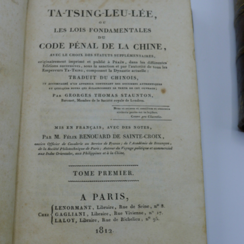
6579Paris, Lenormant, Gagliani, Laloy, 1812. 2 volumes in-8, (3)ff. - LII - 455 pp. - (1)f. et (2)f. - 511 -(1)f., contenant des tableaux dont un dépliant au Tome II. Ex-libris contre-collé de "Victor d'Avila Perez". Demi-basane brune à coins, dos à nerfs orné de roulettes, caissons dorés et fleurons estampés à froid, tranches marbrées. Discrètes restaurations aux coiffes, mors et coins. Reliure de l'époque signée Thouvenin-Jeune en pied du premier Tome. Beaux exemplaires.
11852Pékin, Imprimerie du Pé-T'Ang, MCMXIX (1919). 1 ensemble de 3 volumes oblong verticaux (29*18 cm), reliés à la chinoise, 36 pp. (Tome I), XI-85 pp. (Tome II), 54 pp. (Tome III), excellent état. Les 3 volumes sont contenus dans leur coffret d'origine en toile beige.
2000AIB213_ZA8522_213China Press 2000-01-01. hardcover. New. Ship out in 2 business day And Fast shipping Free Tracking number will be provided after the shipment.Language:Chinese.2010. Hardcover. Book Condition: New. Dust Jacket Condition: New. 1st Edition. This edition of the Pharmacopoeia of the Peoples Republic of China known as Chinese Pharmacopoeia 2010 or in abbreviation as ChP 2010 has been prepared in accordance with the principles and requirements recommended by the Ninth Pharmacopoeia Commission and accomplished with the effort made by Commission members and its Secretariat and with collaborated support of relevant institutions and organ. Satisfaction guaranteedor money back. <br/><br/> China Press hardcover
190841275London.: The China Inland Mission. 1908. Color lithographed maps xii index map plus 22 single and double page maps 16pp 13 1/2 x 9 1/2 inches gilt lettered red cloth covered boards hardbound. The Index Map of China has a stain with a small piece of paper adhered to it from the facing page which is the Alphabetical List of Protestant Missions with resultant damage to that page; neat marginal notes to the Index Map only; the first several sheets of the atlas are beginning to split along the lower gutter from the tight binding. The binding is worn with splits to the tail of the spine and marking to the front cover. The maps with the exception of the Index Map are clean and bright. Very attractive color maps covering the whole of the Chinese Empire including maps of Tibet and Mongolia. This is the first edition of this important atlas of China: "in view of the fact that 1907 would be the Centenary of Protestant Missionary effort in China it was decided by the China Inland Mission toward the close of 1905 to publish a new Atlas of the Chinese Empire this Atlas to be accompanied by a book giving a geographical historical and missionary survey of each province and dependency of that Empire. It was hoped that these companion volumes would be ready for the Centenary Conference which was to take place in Shanghai during the spring of 1907. Through unexpected delays it was however found impossible without serious loss to the Atlas to have the maps ready in time so the book entitled The Chinese Empire was published first. The Atlas which is now sent forth to the public has taken about two and a half years to prepare and is in every respect an entirely new work." The atlas includes maps of Tibet Manchuria and Mongolia. The maps of the provinces are on the scale of 1:3000000 and of the great dependencies on the scale of 1:7500000. . The China Inland Mission. hardcover books