6 261 résultats
58-0518San Francisco Calif.: Southern Pacific Company 1931 rev. 1942. Blueprint 24 inches x 70 inches. From 1600 feet south of Inyo County Company Tracks to 1500 feet north of abandoned Cartago piping and water supplies building. Includes few buildings primarily track measurements. Scale 1 inch = 100 feet. San Francisco, Calif.: Southern Pacific Company, 1931, rev. 1942. unknown
56-0382Oakland Calif.: Southern Pacific Company 1949 rev. 1959. Blueline print 24" x 56". Sheet two of two. From US Naval Air Station entrance to Main Street and Todd Shipyards Corporation. Includes US Naval Air Station with Officer's Quarters and Club Oakland Estuary Todd Shipyards Company. Scale 1" = 100'. Oakland, Calif.: Southern Pacific Company, 1949, rev. 1959. unknown
56-0381Oakland Calif.: Southern Pacific Company 1947 rev. 1960. Blueline print 24" x 56". Sheet one of two. From Main Street to Webster Street and Singleton Avenue to US Pierhead Line. Includes Air Force Intransit Depot Federal Housing Authority Todd Shipyards Company Associated Oil Company. Scale 1" = 100'. Oakland, Calif.: Southern Pacific Company, 1947, rev. 1960. unknown
56-0331Oakland Calif.: Southern Pacific Company 1935. Map. Blueline print 21" x 71". From State Highway and McKinley Avenue to Harding Way. Includes Mormon Slough Stockton State Hospital 10 blocks by 27 blocks of downtown along railroad tracks. Scale 1" = 400'. Oakland, Calif.: Southern Pacific Company, 1935. unknown
19832080202102502077Kogyosho Oki Shou Education Publishing 1983. Soft Cover. Fine. The book is in fine condition. Kogyosho Oki Shou Education Publishing paperback
1998x-0415183022Routledge 1998. Hardcover. New. 1st edition. 348 pages. 9.75x6.50x1.25 inches. Routledge hardcover
Two maps, Haapai Group Northem & Southern portion Surveyed by Captain A. Mostyn Field, Assisted by Lieutenants F.C. Pasco, A. Waugh, G.E. Nares, A.W. Lowis, C.R. Brewis, and M.r F. Payne, Boats. H.M. Surveying Ship Penguin, 1898. London Published at the Admiralty, 9th Mar. 1900, under the Superintendence of Rear Admiral Sir W.J.L. Wharton, Hydrographer. Small corrections: 1929. Folded editorially. Autore: Admiralty Charts. Luogo: Pacific Ocean - Haspai Group. Anno: '900. Tecnica: incisione. Dimensioni: 655x991 + 653x990 mm
Islands and Anchorages in Cook Islands In the upper left side of the chart insert of Arutunga Anchorage From a British Survey in 1892 and Rarotonga Island From a New Zealand Government plan of 1913 (with additions from a British survey in 1922). In the middle of the chart insert of Aitutaki Island From a British survey in 1892 (with additions from a New Zealand Gov.plan of 1906) and Atu Island From a New Zealand Gov. survey in 1919. In the right part of the chart insert of Hervey Islands From a New Zealand Gov. plan of 1906 and Mauke Island From a New Zealand Gov. plan of 1906. In the lower part of the chart insert of Avarua and Avatiu Harbors From a British survey in 1922. Washington D.C., published Apr. 1902, at the Hydrographic Office, under the authority of the Secretary of the Navy. Small corrections: Printed Mar. 1928. Folded editorialyy. Autore: Admiralty Charts. Luogo: Cook Islands - Pacific Ocean. Anno: '900. Tecnica: incisione. Dimensioni: 960x661 mm
Raoul or Sunday I. Surveyed by Capt. H.M. Denham, assisted by Lieut: J. Hutchison, J.W. Smith, Mast. E. Wilds, F. Hixson, & F. Howard Sec. Masters 1854. In the left side of the chart insert of CMacauley I. From a Sketch Survey by the Ass. Surveyor General of New Zealand in 1887, Curtis I. From a Sketch Survey by the Ass. Surveyor General of New Zealand in 1887. London Published at the Admiralty, May 4th 1863, under the Superintendence of R. Adm. Washington, Hydrographer. Small corrections: 1930. Autore: Admiralty Charts. Luogo: New Zealand - Kermadec Group - Polynesia - Pacific Ocean. Anno: 1863 [1930]. Tecnica: incisione. Dimensioni: 471x670 mm
Samoa Islands Island of Tutuila From United States Naval surveys between 1901 and 1922. In the upper left corner of the chart insert of Manua Islands - Tau, Ofu and Olosega Islands From a United States Naval survey in 1915 - and insert of Rose Island From latest information. Washington D.C., published June 1923, at the Hydrographic Office, under the authority of the Secretary of the Navy. Small corrections: Printed: April 1932. Folded editorially. Autore: Admiralty Charts. Luogo: Samoa Islands - Pacific Ocean. Anno: '900. Tecnica: incisione. Dimensioni: 789x1215 mm
South Pacific Ocean. Sheet III. The curves of Variation are for 1915. Washington D.C., published Oct. 1883, at the Hydrographic Office, under the authority of the Secretary of the Navy. Small corrections Printed: July 1932. Folded editorially. Autore: Admiralty Charts. Luogo: Pacific Ocean South. Anno: '900. Tecnica: incisione. Dimensioni: 594x774 mm
Mappa dell'Oceania.Carta geografica tratta dal "Dizionario Geografico Universale..." edito a Venezia nel 1835. In buono stato di conservazione. Map of Oceania taken from the "Dizionario Geografico Universale..." published in Venice in 1835.In good condition.
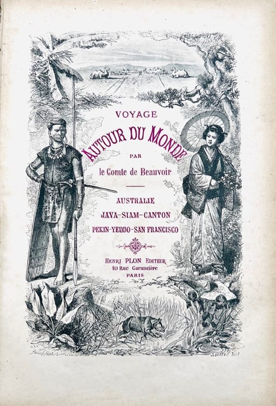
187342992Paris, Henri Plon, 1873. Grand in-8 de (6)-641-(3) pp., 116 illustrations, demi-chagrin vert, dos orné à nerfs, tranches dorées (Ch. Magnier).
1998MG253291998 2 volumes (A+B complete). 1250 p., 2500 figs, 500 b/w & 200 col. photographs, 4to, hardbound. Spines somewhat discoloured, else a good copy. Now out of print. The most comprehensive and authoritative treatment yet of Australia's marine, freshwater and terrestrial molluscs. It is a significant international reference, with contributions from 70 authors, and in which some 7700 papers in the primary literature are cited. Most molluscan families described in the book are also found in the Northern Hemisphere, making this title an essential reference for malacologists worldwide.
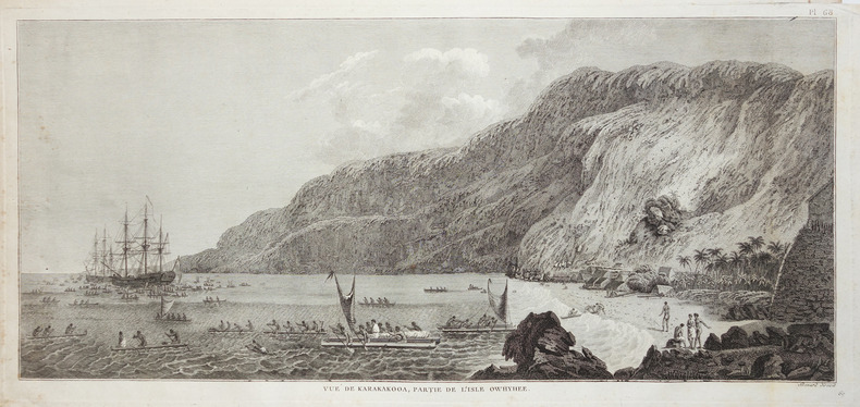
1785LBW-28591785. 230 x 499 mm.
1774LBW-2757[1774]. 270 x 272 mm.
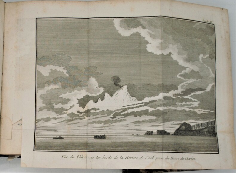
1789PHO-853Paris, chez Maradan, 1789. in-8 (20,5 x 13 cm), [6]-581 + [4]-292-46-[4] p. + h.-t. 2 vol. reliés époque , dos lisse avec titre , tomaison et nom du collectionneur en queue. Édition originale de la traduction française, cet exemplaire comporte bien les tables dépliantes à la fin du volume 2 mais compte 19/22 planches et cartes hors-texte (manquent 18, 21, 22). Marques d'usure aux reliures, plusieurs fentes aux mors, restaurations de papier à la p. de titre et la suivante dans le vol. 1, mouillure claire sur quelques ff. du vol. 2 et tache en marge haute des derniers ff. Sabin, 20366, Chadenat, n°1593
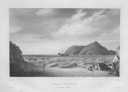
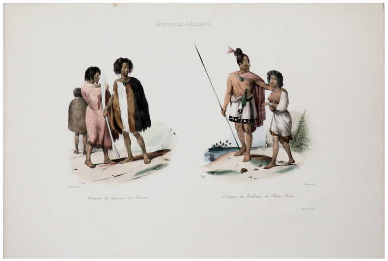
1833LBW061b1[Paris, 1833]. 257 x 362 mm.
1833LBW061b5[Paris, 1833]. 263 x 348 mm.
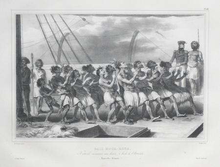
1833LBW-5460[Paris, 1833]. 302 x 460 mm.
1833LBW-5462[Paris, 1833]. 250 x 330 mm.
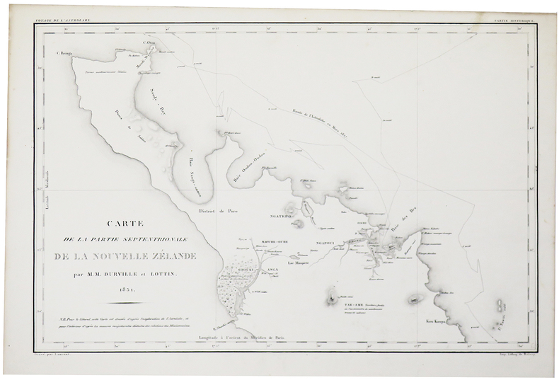
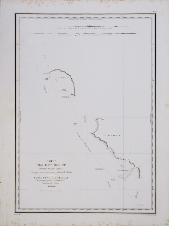
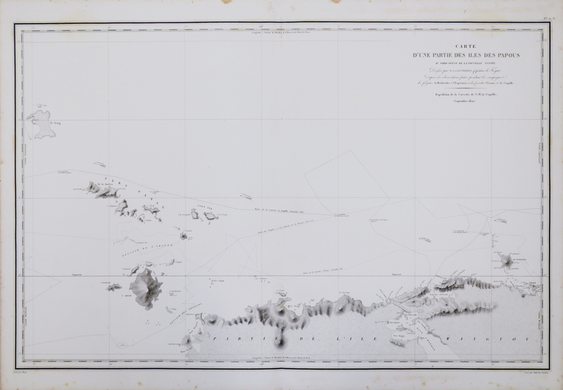
1827LBW-4442[1827]. 498 x 351 mm.
1827LBW-4440[1827]. 496 x 772 mm.