ADAM (Victor).Livre Rare Book
11 983 résultats
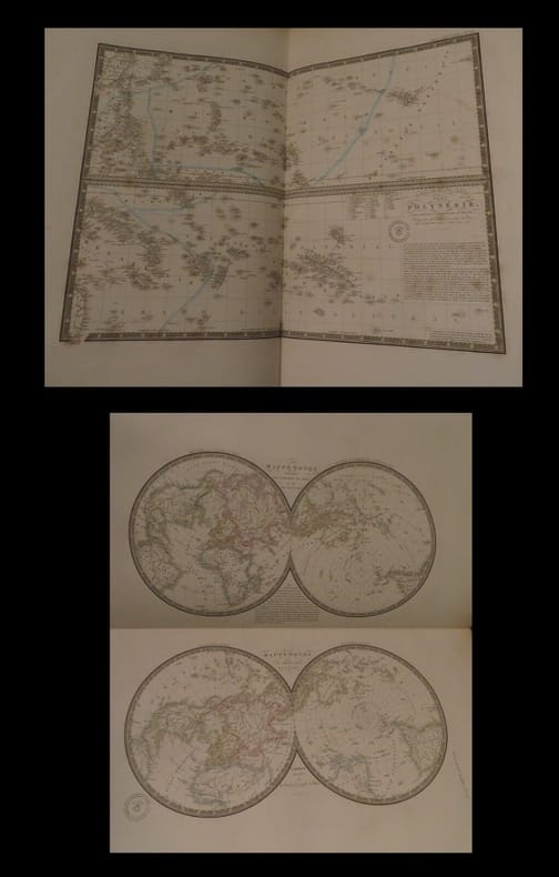
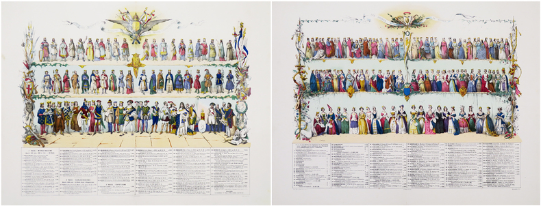
1863LBW-8436Paris, Maison Bouasse Lebel & Anc.nne M.on Basset réunies, [1863]. Ensemble de deux planches, 490 x 605 mm et 470 x 590 mm.
1750LBW-4159[circa 1750]. En 2 feuilles jointes de 0,39 x 1,12 m.
Pianta archeologica a proiezione verticale con alzato, priva di data ed indicazioni editoriali. Si tratta di una fedele replica della pianta archeologica pubblicata da Nicolas van Aelst ed incisa da Ambrogio Brambilla, probabilmente edita a Roma tra la fine del ’500 e l’inizio del secolo successivo. Caldana sottolinea che “l’anonimo incisore è bravo quasi quanto l’autore dell’originale, le differenze sono minime, salvo le misure che nella copia sono leggermente inferiori; imitata persino la calligrafia dei toponimi meno che per alcuni, scritti in lettere maiuscole”. Dal punto di vista editoriale, l’esistenza di un esemplare con l’imprint di Gian Giacomo de Rossi, descritto da Hülsen (1933) nella raccolta del castello di Wolfegg, certifica che il rame fosse in possesso della tipografia romana. Sempre Caldana sostiene, ma senza fondamento, che la pianta fu fatta incidere da Giuseppe de Rossi nel 1637, in occasione della ristampa della pianta di Roma moderna. Crediamo invece che il rame sia più antico e che, come per molte lastre del secolo precedente, solo successivamente venga acquisito dalla tipografia de Rossi. In alto, lungo il bordo superiore, è inciso il titolo: ANTIQUAE URBIS PERFECTA ET NOVA DELINEATIO. Lungo il margine inferiore si trova una legenda numerica di 90 rimandi a luoghi e monumenti notabili distribuita, su quindici colonne. Orientazione nei quattro lati al centro con il nome dei punti cardinali: SEPTENTRIO, MERIDIES, OCCIDENS, ORIENS il nord è a sinistra. Nella tavola sono presenti ulteriori indicazioni toponomastiche. Acquaforte e bulino, privo di indicazioni editoriali. Esemplare nel primo stato di due, avanti l'indirizzo di De Rossi. Magnifico esemplare di questa rara pianta archeologica di Roma. In perfetto stato di conservazione. Bibliografia Bifolco-Ronca, Cartografia e topografia italiana del XVI secolo, p. 2368, tav. 1217, I/II; Caldana (2013): n. I.28; Hülsen (1915): pp. 55-56, VIIIc, n. 41; Hülsen (1933): p. 106, VIIIc, n. 41a; Scaccia Scarafoni (1939): p. 28, n. 24. Archaeological map with vertical projection with elevation, without date and printing details. It is a faithful replica of the map published by Nicolas van Aelst and engraved by Ambrogio Brambilla, probably published in Rome between the end of the 16th century and the beginning of the following century. Caldana underlines that "the anonymous engraver is almost as good as the author of the original, the differences are minimal, except for the measurements that in the copy are slightly smaller; even the calligraphy of the place names is imitated, less so for some, written in capital letters". From the editorial point of view, the existence of a copy with the imprint of Gian Giacomo de Rossi, described by Hülsen (1933) in the collection of Wolfegg Castle, certifies that the copper was in the possession of the Roman printing house. Caldana also maintains, but without foundation, that the map was engraved by Giuseppe de Rossi in 1637, on the occasion of the reprinting of the modern Rome map. We believe instead that the copper is older and that, as for many plates of the previous century, it was only later acquired by de Rossi's printing house. At the top, along the upper edge, is engraved the title: ANTIQUAE URBIS PERFECTA ET NOVA DELINEATIO. Along the lower margin there is a numerical legend of 90 references to notable places and monuments distributed on fifteen columns. Orientation on the four sides in the centre with the name of the cardinal points: SEPTENTRIO, MERIDIES, OCCIDENS, ORIENS the north is on the left. In the map there are further toponymic indications. Etching and engraving; exemple in the first state of two, before the De Rossi's address. Magnificent example of this rare archaeological map of Rome. In perfect state of conservation. Literature Bifolco-Ronca, Cartografia e topografia italiana del XVI secolo, p. 2368, tav. 1217, I/II; Caldana (2013): n. I.28; Hülsen (1915): pp. 55-56, VIIIc, n. 41; Hülsen (1933): p. 106, VIIIc, n. 41a; Scaccia Scarafoni (1939): p. 28, n. 24.
1700LBW-3460[début du XVIIIe siècle]. 370 x 475 mm.
1735LBW-2732[Paris, 1735]. 421 x 529 mm.
1775LBW-643[1775-1781]. 662 x 481 mm.
1618LBW-7680[Paris, Nicolas Buon], 1616 [1618]. 310 x 405 mm.
Panorama di Roma preso dal Gianicolo, firmata "Aveline fecit et excudit", edita a Parigi presso Charpentier."La veduta panoramica di Roma è presa dal Gianicolo e raffigura sulla sinistra il complesso del Vaticano e Castel Sant'Angelo. AL centro il fitto tessuto urbano cittadino dal quale emergono torri e cupole non sempre riconoscibili. L'intera veduta è infatti condotta con grafia molto essenziale e immediata di non grande impatto visivo" (cfr. Barbara Jatta in "Roma Veduta" p. 193). La veduta viene attribuita dalla Jatta - soprattutto per motivi temporali legati all'editore Charpentier crediamo - ad Antoine Aveline "il giovane". La famiglia Aveline, appartenente alla borghesia parigina, lavorò per oltre due secoli nel campo artistico ed incisorio; visto il ripetersi dei nomi di battesimo e il fatto che apponevano la generica firma Aveline, si è spesso fatta confusione fra i sui vari componenti. Tuttavia l'imprint Aveline fecit et excudit lascia credere che l'edizione Charpentier sia il secondo stato (di tre) della lastra, che in seguito fu ristampata anche da Chereau. Quindi riteniamo più probabile - anche per lo stile grafico - attribuirla a Pierre Aveline e la data di stampa posta a circa il 1720 circa. Particolare curioso, la veduta non include il Colosseo. Nel margine inferiore, legenda di 47 numeri. Acquaforte, con ampli margini, consueta piega centrale, sporadiche e piccole ossidazioni nei margini bianchi nel complesso in ottimo stato di conservazione. Panorama of Rome taken from the Janiculum Hill, signed "Aveline fecit et excudit", published in Paris at Charpentier. The panoramic view of Rome is taken from the Janiculum Hill and depicts on the left the Vatican complex and Castel Sant'Angelo. At the center the dense urban fabric from which towers and domes emerge not always recognizable. The entire view is in fact conducted with very essential and immediate handwriting of not great visual impact (see Barbara Jatta in "Roma Veduta" p. 193). The view is attributed by Jatta to Antoine Aveline "the young". The Aveline family worked for over two centuries in the field of art and engraving; given the repetition of first names and the fact that they affixed the generic signature Aveline, there has often been confusion among the various members. However, the imprint Aveline fecit et excudit leads us to believe that the Charpentier edition is the second state (of three) of the plate, which was later reprinted also by Chereau. Therefore we think it more probable - also for the graphic style - to attribute it to Pierre Aveline and the date of printing placed at about 1720. Curious detail: the view does not include the Colosseum. In the lower margin, legend of 47 numbers. Etching, with wide margins, usual central fold, sporadic and small oxidations in the white margins, on the whole in very good condition. Arrigoni Bertarelli (1939): p. 20, n. 154; B. Jatta in "Roma Veduta", p. 193, n. 45; Marigiiani (2007), p. 262, n. 175.
1694LBW-5226Paris, chez l'autheur, [circa 1694]. 447 x 541 mm.
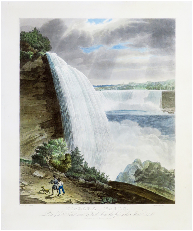
1829LBW-6825New York, H.I. Megarey, [1829]. 560 x 430 mm.
1650LBW-1908circa 1650. 353 x 483 mm.
1876LBW-78641876. En 24 sections montées sur toile et repliées, formant une carte de 0,88 x 1,16 m, montée dans une reliure éditeur de percaline rouge, avec titre en lettres dorées ""Souvenir des Pyrénées. Carte de la vallée d'Ossau, Eaux-Bonnes, Eaux-Chaudes, par J B Bonnecase géomètre"", et armoiries de la vallée d'Ossau sur le premier plat.
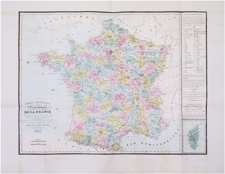
1867LBW-8464Paris, Maison Bouasse-Lebel, Imp. Édit. et ancienne Maison Basset réunies, [1867]. 593 x 778 mm.
1950LBW-8621Rabat, Éditions Africaines Perceval, [1950]. Lithographie en couleurs de 635 x 985 mm ; encadrée sous verre.
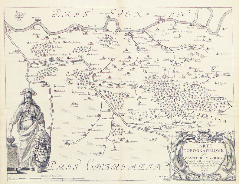
1646LBW-27941646. 315 x 412 mm.
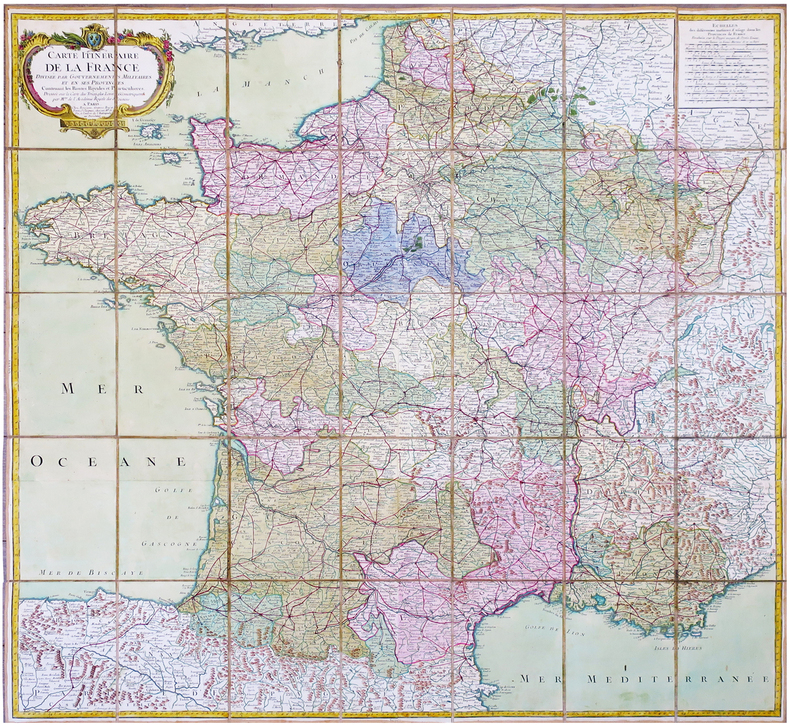
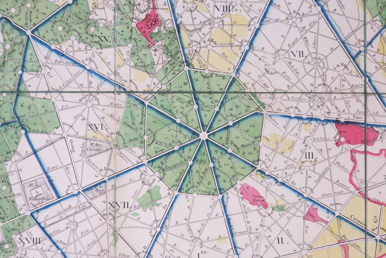
1779LBW-6832Paris, Bourgoin, 1779. En 35 sections montées sur toile et pliées, formant une carte de 980x 990 mm ; étiquette au dos de l'éditeur Seguin père, artificier du roi et éditeur de la carte de Cassini ; sous étui de papier bleu avec dentelle dorée d'encadrement.
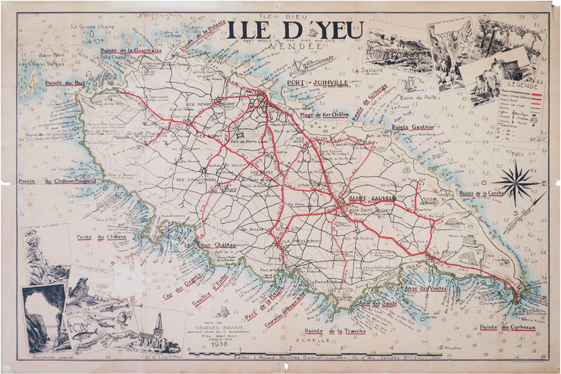
1938LBW-8820Île d'Yeu, L. Penaud - Nouvelles Galeries Insulaires, 1938-1954. 0,71 x 1,05 m.
Rarissima pianta prospettica della città dal Gianicolo, incisa da Ambrogio Brambilla per il tipografo Girolamo Franzini. Si tratta di una piccola pianta, dipendente da quella che il Brambilla stesso incise per Claudio Duchetti nel 1582, aggiornata in parte alla riforma urbanistica di Sisto V. Sono raffigurati gli obelischi di S. Pietro, S. Giovanni e S. M. Maggiore e la via Nova. L’opera è di grandissima rarità; Hülsen (1915) descrive due esemplari nei cataloghi di inizio secolo delle librerie antiquarie romane Rappaport e Lang. Marigliani (2007) riproduce l’esemplare di una collezione privata romana, con una legenda è molto nutrita, addirittura stampata su una lastra separata; è composta da 136 rimandi, dei quali i primi 114 derivano dalla pianta del 1582.In alto, nel riquadro di sinistra, troviamo il titolo e le indicazioni editoriali: NOVA URBIS ROMAE DESCRIPTIO ANNI 1587. Per Ambrosiu s brambilla spictore[m] delineatu s et incisa m. Nel riquadro di destra si legge: Roma fu edifficata gl’anni del mondo 5550 e da poi la destruttione de Troia anni 753 da Romolo, e Remo, fratelli nati da Silvia figliola de Numitore Re de Albano: fu anticame[n]te il suo circuito de le mura miglia 32.Orientazione nei quattro lati al centro con il nome dei punti cardinali: SEPTENTRIO, MERIDIES, OCCIDENS, ORIENS, il nord è a sinistra. Acquaforte e bulino, stampata su carta vergata coeva, con ampi margini, in perfetto stato di conservazione.BibliografiaBifolco - Ronca, Cartografia e Topografia italiana del XVI secolo (2018), pp. 2406-2407, tav. 1238; Ganado (1994): II, n. 116 e III. n. 93; Hülsen (1915): XVIa, p. 63-64, n. 80; Marigliani (2007): n. 60. A very rare map of the city from the Janiculum Hill, engraved by Ambrogio Brambilla for the publisher Girolamo Franzini. It is a small map, based on the one that Brambilla himself engraved for Claudio Duchetti in 1582, partly updated to the urban reform of Sixtus V. The obelisks of S. Pietro, S. Giovanni and S. M. Maggiore and the via Nova are represented. The work is of great rarity; Hülsen (1915) describes two examples in the catalogs of the beginning of the century of the Roman antique bookshops Rappaport and Lang. Marigliani (2007) reproduces the exemple of a private Roman collection, with a very large legend, even printed on a separate plate; it is composed of 136 references, of which the first 114 derive from the map of 1582.Above, in the left box, we find the title and the printing details: NOVA URBIS ROMAE DESCRIPTIO ANNI 1587. For Ambrosiu s brambilla spictore[m] delineatu s et incisa m. Orientation in the four sides with the name of the cardinal points: SEPTENTRIO, MERIDIES, OCCIDENS, ORIENS, the north is on the left. Etching and engraving, printed on contempoary laid paper, with wide margins, in perfect condition.LiteratureBifolco - Ronca, Cartografia e Topografia italiana del XVI secolo (2018), pp. 2406-2407, tav. 1238; Ganado (1994): II, n. 116 e III. n. 93; Hülsen (1915): XVIa, p. 63-64, n. 80; Marigliani (2007): n. 60. Bifolco - Ronca, Cartografia e Topografia italiana del XVI secolo (2018), pp. 2406-2407, tav. 1238.
1657LBW-3186[Amsterdam, 1657]. 306 x 438 mm.
1588LBW-3308[Cologne, 1588]. 324 x 500 mm.
185717047Paris, chez Bartheleimer, 1857. Un fort vol. au format in-plano (543 x 397 mm) de 1 f. bl., 3 ff. n.fol., 65 planches et 1 f. bl. Reliure de l'époque de demi-chagrin maroquiné cerise à coins, filets gras et maigres à froid portés sur les plats, dos à nerfs orné de filets gras et maigres à froid, filets en pointillés dorés, quadruples filets dorés sur les nerfs, larges fleurons romantiques dorés, titre doré.
Acquaforte e bulino, firmata in lastra in basso a destra. Da un disegno del Canaletto, oggi conservato al British Museum [1858,0626.221].Magnifica prova, impressa su carta vergata coeva, con ampli margini, in perfetto stato di conservazione. Il Museo Correr possiede una raccolta di quindici fogli raffiguranti vedute di Roma incise da Brustolon su disegno del Canaletto; il frontespizio, manoscritto, reca l’iscrizione Vari Prospetti di Roma Antica e Moderna. Il catalogo della tipografia Remondini del 1817 elenca sempre 15 soggetti “romani”. Tuttavia secondo il Moschini le vedute di Roma del Brustolon sarebbero addirittura venticinque. Il nostro esemplare differisce nel titolo - in francese - rispetto a quello pubblicato nel catalogo della mostra "Roma Veduta" (Roma, 2000).Rarissima. View of the Tiber and Rome from the Basilica of St Valentino on the Via FlaminiaEtching and engraving, signed on lower right plate. After a drawing of Canaletto, today at the British Museum [1858,0626.221].Magnificent work, printed on contemporary laid paper with wide margins, in perfect condition. The Correr Museum owns a collection of fifteen sheets depicting views of Rome engraved by Brustolon after drawings of Canaletto; the front page, handwritten, bears the inscription Vari Prospetti di Roma Antica e Moderna. The 1817 catalogue of the typography of Remondini lists 15 “Roman” subjects; nonetheless, according to Meschini, Brustolon’s views of Rome are not less than twenty five. Very rare. Succi, Da Carlevarijs ai Tiepolo, p. 82; Maria Catelli Isola, in "I ponti di Roma" (1975): p. 76, n. 120; Roma Veduta (2000): pp. 181-182, n. 37 (variante).
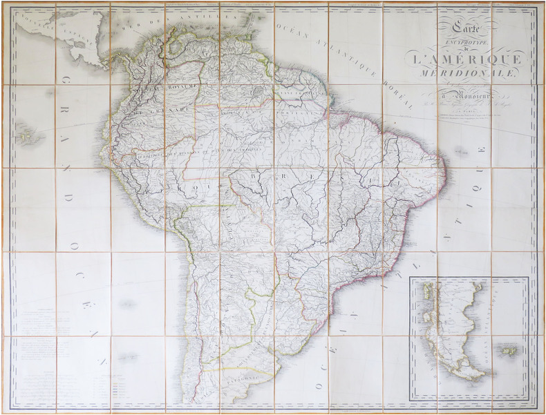
1816LBW-8596Paris, Desray & Goujon, 1816. En 50 sections montées sur toile et repliées, formant une carte de 1,12 x 1,38 m ; sous chemise et étui de papier de l'époque, avec titre en lettres dorées au dos, et dentelle dorée encadrant les plats.
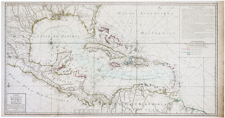
1780LBW-3496Paris, Dezauche, 1780. 494 x 925 mm.
1791LBW-89911791. En 16 sections repliées, montées sur toile de couleur bleue-verte bordée d'une soie verte cousue et non collée, formant une carte de 615 x 808 mm.