PERROT (Aristide Michel).Livre Rare Book
11 973 résultats
1863LBW-8843Paris, Maison Bouasse Lebel, et ancienne Maison Basset réunies, [1863]. 440 x 585 mm.
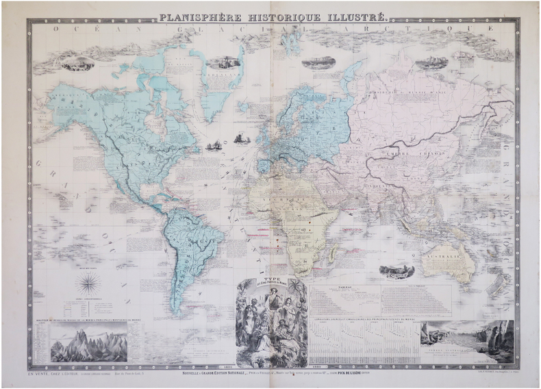
1880LBW-6284Paris, Eugène Pick, 1880. 0,76 x 1,02 m.
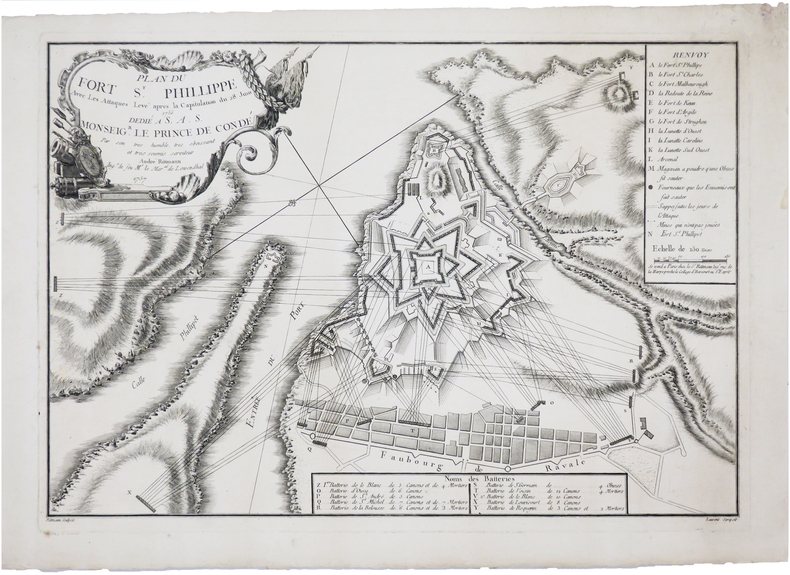
1757LBW-691Paris, Sr. Rittmann, 1757. 300 x 436 mm.
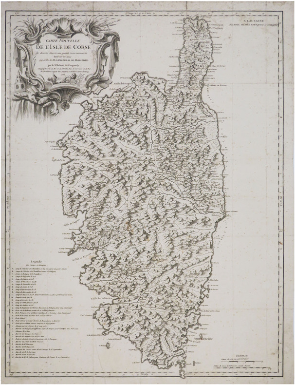
1756LBW-8778Lausanne, Marc Michel Bousquet et Compagnie, 1756. 600 x 453 mm.
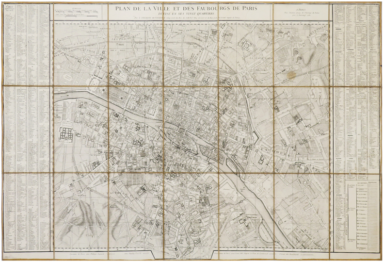
1760LBW-6946Paris, chez l'auteur, 1760. En 21 sections montées sur toile et pliées, formant un plan de 578 x 860 mm.
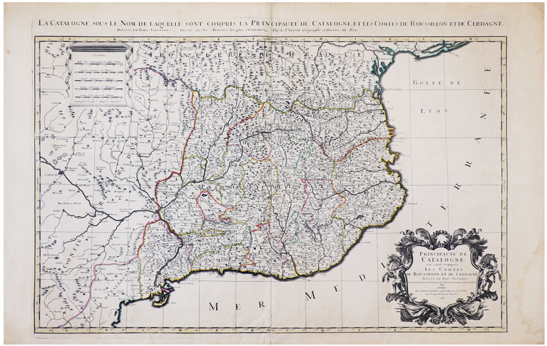
1696LBW-6394Paris, H. Jaillot, 1696. En deux feuilles jointes formant une carte de 565 x 868 mm.
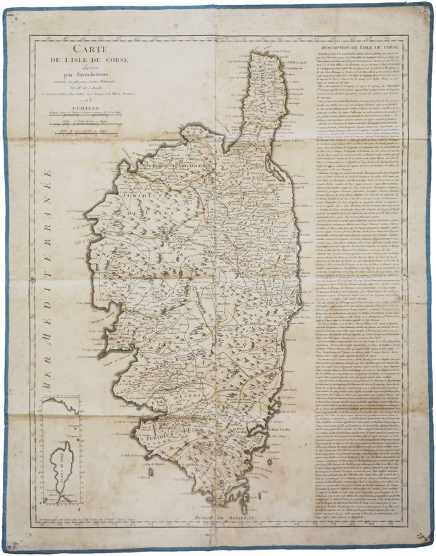
1768LBW-8813Paris, Lattré, et chez le S.r de Vezou, 1768. 602 x 460 mm, montée sur toile.
Acquaforte, 1645/50 circa, firmata in lastra in basso a destra..Inusuale veduta panoramica della città, con vista su vari monumenti, descritti in basso in un legenda di 9 punti, riportata in basso in italiano e francese e che comprende: 1. Vestigij del Tempio della Pace . 2. Chiesa di S.ta Francesca Romana . 3. Vigna Fanesia . 4. Vestigij del Palazzo Maggiore. 5. Vestigij della Casa di Cicerone. 6. St. Maria liberatrice . 7. St. Pietro Montorio. 8. Frontespitio dell'Acqua Paula. 9. Colonne restate del Tempio di Giove Statore. La Basilica, in primo piano, è disegnata con grande dettaglio, come pure il panorama della città, dove sono riconoscibili numerose opere architettoniche. Come per il panorama generale di Roma, anche questa veduta generale venne probabilmente incisa "da un disegno eseguito ad vivum da L. de Lincher, un disegnatore francese poco noto che fu attivo in quegli anni a Roma e fornì i sui disegni a diversi incisori fra i quali anche il conterraneo Francois Collignon" (cfr. Barbara Jatta in "Roma Veduta" p. 164),Il Silvestre, incisore e disegnatore, nasce a Nancy nel 1621. Tra il 1638 e il 1641 viaggiò in Italia; si hanno notizie della sua presenza nella Penisola ancora nel 1643 e nel 1653. Il suo stile fu, all’inizio, piuttosto sciolto, ma dal 1643 in poi divenne più raffinato e delicato, acquisendo accuratezza e precisione senza essere asciutto, risultando a volte simile a quello di Jacques Callot o di Stefano della Bella, con i quali ebbe rapporti di amicizia. Accanto alle testimonianze per la Roma antica mostrò ben presto un grandissimo interesse per la città "moderna", divenendo uno dei precursori del vedutismo - non solo nel campo incisorio - anticipando artisti come Lievin Cruyl e Gaspar van Wittel. Bellissima prova, con ampli margini, pieghe verticali dovute alla conservazione - più volte ripiegata e conservata il album - in ottimo stato di conservazione. Rara. Etching, circa 1645/50, signed on the lower right-hand plate. Unusual panoramic view of the city, with a view of various monuments, described in a 9-point legend at the bottom in Italian and French, including: 1. Vestigij del Tempio della Pace . 2. Chiesa di S.ta Francesca Romana . 3. Vigna Fanesia . 4. Vestigij del Palazzo Maggiore. 5. Vestigij della Casa di Cicerone. 6. St. Maria liberatrice . 7. St. Pietro Montorio. 8. Frontespitio dell'Acqua Paula. 9. Colonne restate del Tempio di Giove Statore. The Basilica, in the foreground, is drawn in great detail, as is the panorama of the city, where numerous architectural works are recognisable. As with the general view of Rome, this panorama was probably engraved "from a drawing made ad vivum by L. de Lincher, a little-known French draughtsman who was active in Rome in those years and supplied his drawings to various engravers, including his fellow countryman Francois Collignon" (cf. Barbara Jatta in "Roma Veduta" p. 164). Silvestre, engraver and draughtsman, was born in Nancy in 1621. Between 1638 and 1641 he travelled in Italy; there are records of his presence in the Peninsula again in 1643 and 1653. His style was rather loose at first, but from 1643 onwards it became more refined and delicate, acquiring accuracy and precision without being dry, sometimes resembling that of Jacques Callot or Stefano della Bella, with whom he was friends. Alongside the evidence for ancient Rome, he soon showed great interest in the "modern" city, becoming one of the forerunners of vedutism - not only in the field of engraving - anticipating artists such as Lievin Cruyl and Gaspar van Wittel. Beautiful proof, with wide margins, vertical folds due to storage - folded several times and stored in the album - in excellent condition. Rare.
Acquaforte, 1652 circa, priva di firma in lastra dove troviamo la sola indicazione del privilegio. Bellissima prova, impressa su carta vergata coeva, con margini, in perfetto stato di conservazione. Veduta panoramica di Roma raffigurante presa dagli Orti Farnesiani, con il Foro Romano in primo piano. LO stemma araldico di Luigi XIV, con le armi di Francia e Navarra, è inciso al centro con la scritta Dédié au Roy. “L’impianto di questa veduta di Campo Vaccino, dedicata a Luigi XIV, che spazia dal Campidoglio alla Basilica di Massenzio, appartiene alla seconda fase della sua produzione, contraddistinta dall’estrema precisione nella rappresentazione degli edifici. È probabile che l’artista abbia scelto come punto di vista gli Horti Farnesiani sul Palatino che gli permettevano una visione dall’alto della città. Oltre alla raffigurazione dei monumenti antichi, la veduta è caratterizzata, seppure in secondo piano, dalla presenza di numerose architetture moderne della zona nord-orientale di Roma, tra le quali la chiesa di S. Maria di Loreto, Villa Medici, il Quirinale e il palazzo del cardinale Mazzarino alle Quattro Fontane” (cfr. Barbara Jatta in "Roma Veduta" p. 167). Il Silvestre, incisore e disegnatore, nasce a Nancy nel 1621. Tra il 1638 e il 1641 viaggiò in Italia; si hanno notizie della sua presenza nella Penisola ancora nel 1643 e nel 1653. Il suo stile fu, all’inizio, piuttosto sciolto, ma dal 1643 in poi divenne più raffinato e delicato, acquisendo accuratezza e precisione senza essere asciutto, risultando a volte simile a quello di Jacques Callot o di Stefano della Bella, con i quali ebbe rapporti di amicizia. Accanto alle testimonianze per la Roma antica mostrò ben presto un grandissimo interesse per la città "moderna", divenendo uno dei precursori del vedutismo - non solo nel campo incisorio - anticipando artisti come Lievin Cruyl e Gaspar van Wittel. Bibliografia Le Blanc III, p. 508, 228; Roma Veduta (2000), p. 167, n. 26; Faucheaux, Catalogue raisonné de l’oeuvre d’Israel Silvestre, 32.1; C. Marigliani, Le Piante di Roma delle collezioni private, tav. 122 Etching, about 1652, without signature on the plate where we find only the indication of the privilege. Beautiful proof, printed on contemporary laid paper, later hand colour, with margins, in perfect condition. Panoramic view of Rome taken from the Orti Farnesiani, with the Roman Forum in the foreground. The heraldic coat of arms of Louis XIV, with the arms of France and Navarre, is engraved in the center with the inscription Dédié au Roy. The layout of this view of Campo Vaccino, dedicated to Louis XIV, ranging from the Capitol to the Basilica of Maxentius, belongs to the second phase of his production, marked by extreme precision in the representation of the buildings. It is likely that the artist chose as a point of view the Horti Farnesiani on the Palatine, which allowed him a view of the city from above. In addition to the depiction of ancient monuments, the view is characterized, albeit in the background, by the presence of numerous modern buildings in the north-eastern area of Rome, including the church of S. Maria di Loreto, Villa Medici, the Quirinale and the palace of Cardinal Mazzarino at the Quattro Fontane (see Barbara Jatta in "Roma Veduta" p. 167). Silvestre, engraver and draftsman, was born in Nancy in 1621. Between 1638 and 1641 he traveled in Italy; we have news of his presence in the Peninsula again in 1643 and 1653. His style was, at the beginning, rather loose, but from 1643 onwards became more refined and delicate, acquiring accuracy and precision without being dry, resulting sometimes similar to that of Jacques Callot or Stefano della Bella, with whom he had relationships of friendship. Alongside the evidence for ancient Rome soon showed a great interest in the city "modern", becoming one of the precursors of vedutismo - not only in the field of engraving - anticipating artists such as Lievin Cruyl and Gaspar van Wittel. Literature Le Blanc III, p. 508, 228; Roma Veduta, p. 167, n. 26; Faucheaux, Catalogue raisonné de l'oeuvre d'Israel Silvestre, 32.1; C. Marigliani, "Le Piante di Roma delle collezioni private", n. 122.
Acquaforte, 1652, firmata e datata in lastra in basso a sinistra Israel SIlvestre delineavit et sculpt. l'anne 1652 in Parigi. Bellissima prova, impressa su carta vergata coeva, con ampi margini, in perfetto stato di conservazione. Inusuale veduta panoramica della città, presa dalle pendici colle Vaticano - fuori da Porta Cavalleggeri come indicato nel titolo - con un magnifico e accurato dettaglio della Basilica Vaticana prima del colonnato del Bernini (1665). In alto al centro, in un cartiglio con lo stemma araldico di Louis Hesselin troviamo la dedica di Jean Vivot: Illustrissimo Nobillissimoque Domino. D. Hesselin Regi il Secretioribus Consilijs, Palatij, et Camerae denariorum Magistro Observantissimus Seruus J. Viuot Dicat. È probabile che Vivot, un comune gentiluomo della camera del Re, nominato nel 1670 custode dell'antiquariato, abbia commissionato al Silvestre questa veduta per dedicarla a Louis Hesselin, Seigneur de Condé aristocratico francese, funzionario del governo, mecenate e collezionista. Il Silvestre, incisore e disegnatore, nasce a Nancy nel 1621. Tra il 1638 e il 1641 viaggiò in Italia; si hanno notizie della sua presenza nella Penisola ancora nel 1643 e nel 1653. Il suo stile fu, all’inizio, piuttosto sciolto, ma dal 1643 in poi divenne più raffinato e delicato, acquisendo accuratezza e precisione senza essere asciutto, risultando a volte simile a quello di Jacques Callot o di Stefano della Bella, con i quali ebbe rapporti di amicizia. Accanto alle testimonianze per la Roma antica mostrò ben presto un grandissimo interesse per la città "moderna", divenendo uno dei precursori del vedutismo - non solo nel campo incisorio - anticipando artisti come Lievin Cruyl e Gaspar van Wittel. Bibliografia L. E. Faucheux, Catalogue raisonné de toutes les estampes qui forment l'oeuvre d'Israel Silvestre: précédé d'une notice sur sa vie (1857), n. 31.1; F. Baré, Israël Silvestre et sa famille, suivi du catalogue de son oeuvre (1885), n. 768. Etching, 1652, signed and dated on the plate at lower left Israel SIlvestre delineavit et sculpt. l'anne 1652 in Parigi. Beautiful proof, printed on contemporary laid paper, with wide margins, in perfect condition. Unusual panoramic view of the city, taken from the slopes of the Vatican hill - outside Porta Cavallegeri as indicated in the title - with a magnificent and accurate detail of the Vatican Basilica before Bernini's colonnade (1665). In the upper center, in a cartouche with the heraldic coat of arms of Louis Hesselin we find the dedication of Jean Vivot: Illustrissimo Nobillissimoque Domino. D. Hesselin Regi the Secretioribus Consilijs, Palatij, et Camerae denariorum Magistro Observantissimus Seruus J. Viuot Dicat. It is likely that Vivot, a common gentleman of the King's chamber, appointed in 1670 as keeper of antiques, commissioned Silvestre this view to dedicate it to Louis Hesselin, Seigneur de Condé French aristocrat, government official, patron and collector. Silvestre, engraver and draftsman, was born in Nancy in 1621. Between 1638 and 1641 he traveled in Italy; we have news of his presence in the Peninsula again in 1643 and 1653. His style was, at the beginning, rather loose, but from 1643 onwards became more refined and delicate, acquiring accuracy and precision without being dry, resulting sometimes similar to that of Jacques Callot or Stefano della Bella, with whom he had relationships of friendship. Alongside the evidence for ancient Rome soon showed a great interest in the city "modern", becoming one of the precursors of vedutismo - not only in the field of engraving - anticipating artists such as Lievin Cruyl and Gaspar van Wittel. Literature L. E. Faucheux, Catalogue raisonné de toutes les estampes qui forment l'oeuvre d'Israel Silvestre: précédé d'une notice sur sa vie (1857), n. 31.1; F. Baré, Israël Silvestre et sa famille, suivi du catalogue de son oeuvre (1885), n. 768.
Acquaforte, 1646 circa, firmata in lastra in basso a sinistra. Bellissima prova, impressa su carta vergata coeva, con ampi margini, in perfetto stato di conservazione. Inusuale veduta panoramica della città, presa dal colle Vaticano. La Basilica, in primo piano, è disegnata con grande dettaglio, come pure il panorama della città, dove sono riconoscibili numerose opere architettoniche. “È insolita la scelta del punto di vista di questa veduta romano, presa dal colle Vaticano, dietro la Basilica di San Pietro. Anche in quest’opera, sempre molto particolareggiata secondo lo stile tipico dell’artista, è forte l’influsso delle incisioni di Callot, sia nel linguaggio che nella costruzione della veduta, come ci conferma la quinta in primo piano con le mura vaticane"(cfr. Barbara Jatta in "Roma Veduta" p. 168). Il Silvestre, incisore e disegnatore, nasce a Nancy nel 1621. Tra il 1638 e il 1641 viaggiò in Italia; si hanno notizie della sua presenza nella Penisola ancora nel 1643 e nel 1653. Il suo stile fu, all’inizio, piuttosto sciolto, ma dal 1643 in poi divenne più raffinato e delicato, acquisendo accuratezza e precisione senza essere asciutto, risultando a volte simile a quello di Jacques Callot o di Stefano della Bella, con i quali ebbe rapporti di amicizia. Accanto alle testimonianze per la Roma antica mostrò ben presto un grandissimo interesse per la città "moderna", divenendo uno dei precursori del vedutismo - non solo nel campo incisorio - anticipando artisti come Lievin Cruyl e Gaspar van Wittel. Bibliografia Le Blanc III, p. 508, 225; Roma Veduta, pp. 168-169, n. 27; L. E. Faucheux, Catalogue raisonné de toutes les estampes qui forment l'oeuvre d'Israel Silvestre: précédé d'une notice sur sa vie (1857), n. 29.1; F. Baré, Israël Silvestre et sa famille, suivi du catalogue de son oeuvre (1885), n. 766. Etching, circa 1646, signed in plate at lower left. Beautiful proof, printed on contemporary laid paper, with wide margins, in perfect condition. Unusual panoramic view of the city, taken from the Vatican Hill. The Basilica, in the foreground, is drawn with great detail, as well as the panorama of the city, where many architectural works are recognizable. The choice of the point of view of this Roman view, taken from the Vatican Hill, behind St. Peter's Basilica, is unusual. Also in this work, always very detailed according to the typical style of the artist, the influence of Callot's engravings is strong, both in the language and in the construction of the view, as confirmed by the foreground with the Vatican walls (see Barbara Jatta in "Roma Veduta" p. 168). Silvestre, engraver and draftsman, was born in Nancy in 1621. Between 1638 and 1641 he traveled in Italy; we have news of his presence in the Peninsula again in 1643 and 1653. His style was, at the beginning, rather loose, but from 1643 onwards became more refined and delicate, acquiring accuracy and precision without being dry, resulting sometimes similar to that of Jacques Callot or Stefano della Bella, with whom he had relationships of friendship. Alongside the evidence for ancient Rome soon showed a great interest in the city "modern", becoming one of the precursors of vedutismo - not only in the field of engraving - anticipating artists such as Lievin Cruyl and Gaspar van Wittel. Literature Le Blanc III, p. 508, 225; Roma Veduta, pp. 168-169, n. 27; L. E. Faucheux, Catalogue raisonné de toutes les estampes qui forment l'oeuvre d'Israel Silvestre: précédé d'une notice sur sa vie (1857), n. 29.1; F. Baré, Israël Silvestre et sa famille, suivi du catalogue de son oeuvre (1885), n. 766.
Engraved map (73 x 52 cm), hand-coloured in outline. This finely engraved map, published in Vaugondy’s “Atlas Universel”, extends to the Caspian Sea in the north, in the west to show Greece, east to the Indus River, and south to include the Red Sea and the Nile River valley. Almost the whole of Arabia is blank and unexplored, but parts of Oman and the cities and places along the Arabian Gulf are indicated. In good condition. National Maritime Museum Cat. I, 317. Al Ankary 185.
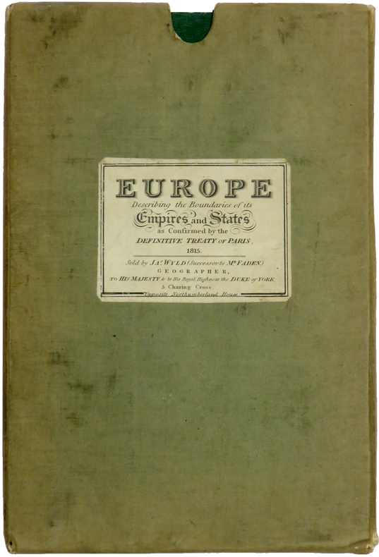
LBW-6415London, James Wyld, Jan. 1st 1829. En 60 sections bordées de soie verte, montées sur toile et pliées, formant une carte de 1,52 x 1,60 m ; plats extérieurs de papier vert ; sous étui recouvert de toile, avec étiquette de l'éditeur portant le titre Europe describing the boundaries of its empires and states as confirmed by the definitive Treaty of Paris, 1815.
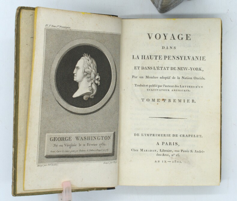
1801PHO-1645Paris, Maradan, 1801. 3 volumes in-8, demi-basane brune, dos lisse orné, tranches jonquille (Reliure de l'époque). Édition originale, illustrée de 3 portraits, de 4 (sur 6) planches gravées dépliantes, de 2 grandes cartes dépliantes des États-Unis et de 4 tableaux, timbres, déchirures sans manque aux cartes, petites rousseurs
Bell'esemplare della mappa murale del mondo di De Fer, pubblicata per la prima volta nel 1700. Il testo rileva che la mappa è una riduzione della mappa murale in quattro fogli del mondo dello stesso autore, pubblicata per la prima volta nel 1695. De Fer afferma che questa mappa è la prima a tenere conto delle osservazioni astronomiche della Royal Academy of Sciences. Sembrerebbe, infatti, che l'autore abbia consultato diverse fonti per meglio realizzare California, Giappone e Australia.L'Australia è mostrata come incompleta e ancora attaccata alla nuova Guinea. La Nuova Zelanda viene realizzata solo a grandi linee. Il fiume Mississippi ha la sua confluenza con il Golfo del Messico considerevolmente più ad ovest rispetto al suo vero corso. Sono inseriti molti altri nomi di luoghi e il commento scientifico è notevolmente dettagliato.Incisa da Johannes Van Loon, la mappa include vignette che mostrano tuoni, fulmini, tempeste e maree, vulcani, ecc. Le osservazioni celesti sono mostrate nella parte superiore. Acquaforte, bella coloritura coeva, in buono stato di conservazione. Rara. Nice example of De Fer's wall map of the world, first published in 1700. The text notes that the map is a reduction of De Fer's 4 sheet wall map of the world, first issued in 1695. De Fer states that this map is the first map to be prepared based upon the astronomical observations of the Royal Academy of Sciences. In fact, it would appear that different sources entirely have been consulted for California, Japan and Australia.Australia is shown as substantially incomplete and still attached to new Guinea. New Zealand appears in partial outline. The conjectural land bridge from Asia to America is still in evidence. The Mississippi River has its confluence with the Gulf of Mexico considerably west of its true course, based upon La Salle's eroneous reports. There are many more place names on this 2 sheet edition of the wall map. The scientific comentary is quite remarkable and detailed.Engraved by Van Loon, the map includes vignettes show thunder, lightening, tempests and tides, volcanoes, etc. Celestial observations are shown at the top. Etching with fine original colour, good condition. Rare. Shirley, The Mapping of the World, n. 600.
Il modello iconografico a cui questa veduta si ispira è la veduta edita da Georg Baltazar Probst nel 1730 su disegno di Bernard Werner. Si tratta di una veduta che presenta la consueta scarsa affidabilità architettonica, esprimendosi in chiaro stile nordico, nella quale la selva di cupole, campanili e altissime antenne si conclude con coperture a profilo concavo, come le tipiche coperture delle città mitteleuropee. Johann C. Haffner (1668 - 1754) è incisore ed editore attivo a Vienna ed Augsburg; alcune sue opere sono datate tra il 1720 ed il 1730, mentre questa veduta è tratta da una serie databile al periodo 1745 - 50. Tooley 275: “The iconographic model of this view is the engraving printed by Georg Baltazar Probst in 1730, after Bernard Werner’s drawing. As usual, the view is not reliable on an architectonical point of view, for it refers to the classical nordic style, in which the multitude of domes, bell towers and high poles ends in hollow covers, typical of Mitteleuropean cities”.. Incisione in rame, due lastre stampate su due fogli di carta originariamente uniti, in eccellente stato di conservazione. Molto rara. The iconographic model of this view is the engraving printed by Georg Baltazar Probst in 1730, after Bernard Werner’s drawing. As usual, the view is not reliable on an architectonical point of view, for it refers to the classical nordic style, in which the multitude of domes, bell towers and high poles ends in hollow covers, typical of Mitteleuropean cities. Johann C. Hafner (1668-1754) was engraver and printer, he worked in Vienna; some of his works have been realized between 1720 and 1730, while the series from which the present work has been taken has been realized between 1745 and 1750. Johann C. Haffner (1668 - 1754) is an engraver and publisher active in Vienna and Augsburg; some of his works are dated between 1720 and 1730, while this view is taken from a series datable to the period 1745 - 50. Tooley 275: "The iconographic model of this view is the engraving printed by Georg Baltazar Probst in 1730, after Bernard Werner's drawing. As usual, the view is not reliable on an architectonical point of view, for it refers to the classical nordic style, in which the multitude of domes, bell towers and high poles ends in hollow covers, typical of Mitteleuropean cities.". Copperplate, two plates printed on two sheets, joined together in the past, in excellent condition. Very rare. cfr. C. Marigliani, "Le Piante di Roma delle collezioni private", tav. 183 (edizione del 1730 circa di formato ridotto).
Mappa intagliata in legno, contenuta in una pagina di testo di una Bibbia stampata a Wittenberg. Si tratta di una rara edizione di questa mappa un po' curiosa dell'Europa, dell'Africa e dell'Asia si trova nella letteratura apocalittica proveniente da Wittenberg nel 1530 o addirittura nel 1529. La mappa fu utilizzata per la prima volta dallo stampatore Hans Luft per illustrare due opere: una un commento sul profeta Daniele di Martin Lutero (1530) e un'altra che collega la visione di Daniele con gli assalti dei turchi ai confini dell'Europa cristiana dell'epoca. La mappa raffigura le quattro bestie del sogno di Daniele. La “mappa del mondo di Wittenberg”, più comunemente nota con il termine inglese di Daniel's Dream Map, è probabilmente la mappa del mondo più mistica di tutti i tempi. All'epoca della sua prima pubblicazione come il sessantunesimo mappamondo che andò in stampa, era, da un lato, una rappresentazione del Vecchio Mondo, basata sulla visione tolemaica del mondo, ma comprendente una serie di recenti scoperte spagnole e portoghesi, ma dall'altro, una visualizzazione del sogno apocalittico del profeta Daniele dei quattro regni. Ci sono quattordici diverse versioni della mappa del sogno di Daniele, tutte realizzate con la tecnica della xilografia. Secondo Ernst Gallner questa è la prima versione della mappa: “La prima menzione della mappa del sogno di Daniele viene fatta in un commento al profeta Daniele da parte di Justus Jonas e Philipp Melantone nel dicembre 1529 e subito dopo nel gennaio 1530 in una interpretazione del libro del profeta Daniele di Martin Lutero, entrambi pubblicati da Hans Lufft a Wittenberg. Da questo momento in poi, la mappa appare in una serie di Bibbie luterane, tedesche o di influenza tedesca e in libri teologici del XVI secolo fino alla metà del XVIII secolo, e in un libro sulla storia degli ebrei di Flavio Giuseppe. Queste varianti successive riproducono in parte l'originale, per cui alcuni degli artisti, contrariamente al desiderio di precisione geografica dell'epoca, alterano sempre più i contorni dei continenti, con aspetti visionari che hanno la precedenza sulla corretta rappresentazione cartografica. L'unica variante che si presenta in una Bibbia latina è una mappa schematica e astratta di Tobias Stimmer. Silografia, finemente colorata a mano, in ottimo stato di conservazione. Rara. Woodcut map with fine colouring, set in a text page of a Bible printed in Wittenberg. A rare edition of this somewhat curious map of Europe, Africa, and Asia is to be found in apocalyptic literature originally emanating from Wittenberg in 1530 or even 1529. The map was first used by the printer Hans Luft to illustrate two works: one a commentary on the prophet Daniel by Martin Luther (1530) and another linking the vision of Daniel with the assaults of the Turks on the perimeters of Christian Europe at the time. The wood cut map is showing the four beasts of Daniel's Dream Map. The Wittenberg World Map, more commonly known in English as Daniel’s Dream Map, is probably the most mystical world map of all time. At the time of its first publication as the sixty-first world map to go into print, it was, on the one hand, a depiction of the Old World, based on the Ptolemaic world view but including a number of recent Spanish and Portuguese discoveries, but on the other, a visualization of the prophet Daniel’s apocalyptic dream of the four kingdoms. There are fourteen different versions of Daniel’s Dream Map, with twenty printing blocks. All the versions are produced in woodcut technique. According to Ernst Gallner this is the first version of the map “The first mention of Daniel’s Dream Map is made in a commentary on the prophet Daniel by Justus Jonas and Philipp Melanchthon in December 1529 and immediately afterwards in January 1530 in an interpretation of the book of the prophet Daniel by Martin Luther, both published by Hans Lufft in Wittenberg. This version is referred to in the following as the original version. From this time on, the map appears in a number of Lutheran, German or German-influenced bibles and theological books of the 16th up to the mid.18th century, and in a book on the history of the Jews by Flavius Josephus. These later variants partially copy the original, whereby some of the artists, contrary to the wish of the time for geographical accuracy, increasingly alter the outlines of the continents, with visionary aspects taking precedence over correct cartographic depiction. The only variant to occur in a Latin bible is a schematic, abstract map by Tobias Stimmer” (cfr. The Wittenberg World Map). R. W. Shirley, "The Mapping of the world", 65A; Kaarten in Bijbels, W.C. Poortman and J. Augusteijn, 1995; Eine Wittenberger Weltkarte aus dem Jahr 1529, W. Bonacker und H. Volz, 1956.
17168475Norimbergae [Nuremberg], Petrum Conradum Monathum, 1716. Gros in-8 de [18]-787-[83]-[2bl.] pages, plein vélin ivoire du temps, dos lisse, titre doré au dos dans une cartouche de roulette dorée, tranches mouchetées. Hormis une pâle auréole d'humidité en marge supérieure de quelques feuillets, bel exemplaire.
17272311A Leide, Chez Pierre Vander, 1727. 7 vol. (sur 8) in-8 de 1506-[2] (Pagination continue : [17 ff.], [278] + [299] + [164] + [128] + [198] + [177] + [131] pp.), plein veau havane moucheté, dos à nerfs ornés de fleurons dorés, étiquettes de titre bordeaux, tranches rouges. Dos et coins frottés, coiffes sup. des vol. 1, 4, 5 et 8 manquantes, coiffes inf. du vol. 8 manquante, accroc à la coiffe sup. vol. 6 et à la coiffe inf. vol. 4, mors 1er plat légèrement fendu aux vol. 1, 2, 4 et 5 (env. 1 cm.), quelques rousseurs sur les cartes et pl.
19024544Stuttgart, E. Schweizerbartsche Verlagsbuchhandlung, 1902-1903. 2 volumes in-4 de XII-509p. + X, 445-[6]-26 pages. Pleine toile écrue de l’éditeur.
178315434A Paris et à Versailles, Chez Froullé, Maradan et Chez Blaizot, 1783-1794. 6 volumes in-4 de [4]-VII-[1]-XX-510-[2]; [4]-XXIV-560-[2]; [4]-VI-[2]-748; [4]-536-VIII; [4]-619; VIII-424 pages. Pleine basane racinée du temps, dos à nerfs ornés de filets et petits fleurons dorés, roulette dorée sur les plats, tranches marbrées. Coins tapés et accrocs à quelques coiffes.
GOR013594973Paperback. Acceptable. paperback
16642341508London: Excudebat J.F. James Flesher pro Jona Hart 1664. First Thus. Hard Cover. Near Fine/No Jacket. Rebound with new end sheets: brown leather spine marbled paper over boards red morocco spine label gilt titles and rules. Binding tight pages clean and unmarked. 1664 Hard Cover. viii 230 pp. Last text page misnumbered 216. Descartes's fundamental and originating work of the modern era in Western philosophy bound together with a work by one of the Utrecht Cartesians Lambert van Velthuysen. This is the first British printing of the Meditations though it does not include Descartes's 'Objections and Replies' as many editions do. Velthuysen was connected by marriage to Descartes's friend Henry Regnier and corresponded with scientists and philosophers such as von Leeuenhoek Spinoza and Leibniz. The work included here shows the influence of Thomas Hobbes - unsurprising given that Velthuysen is credited with translating Leviathan into Dutch. John Locke may have met Velthuysen while in Utrecht in 1684/85 and had eight titles by Velthuysen in his personal library including the Rheims edition of the present title. Bound into this volume are two plates not called for in either work which may be taken from the Hart printing of Principia Philosophia which was published the same year. Wolf 736 Wing D1133a. Excudebat J.F. [James Flesher] pro Jona Hart hardcover
158054214(Antwerpen ca. 1580). 32 x 41 cm. Kobberstukket Danmarkskort i original håndkolorereing. Med Skåne, Halland og Blekinge samt den nordlige del af Tyskland.Foldningen fint forstærket på bagsiden med japanpapir.
169332305A Paris, (but Amsterdam, Pierre Mortier), 1693. 58x88 cm. Kobberstukket søkort over Øresund med den Skånsk/Hallandske kystline og den Sjællandske fra Møn i syd til Hesselø i nord. I pragtfuld fuld håndkolorering. Øverst i midten er indsat Amager og Saltholm i større målestok. Kortet ""ligger ned"", er orienteret øst/vest. Med kompasrose og vindretninger angivet.