11 983 résultats
1787163171787 2 boites cartonnées, avec étiquette. 17 cartes gravées sur cuivre de 15 sections montées sur toile et pliées, chacune formant une carte de 500 x 675 mm. Frankfurt H. L. Brönner 1787-1804
1808LBW-5869Paris, 1808. 392 x 457 mm.
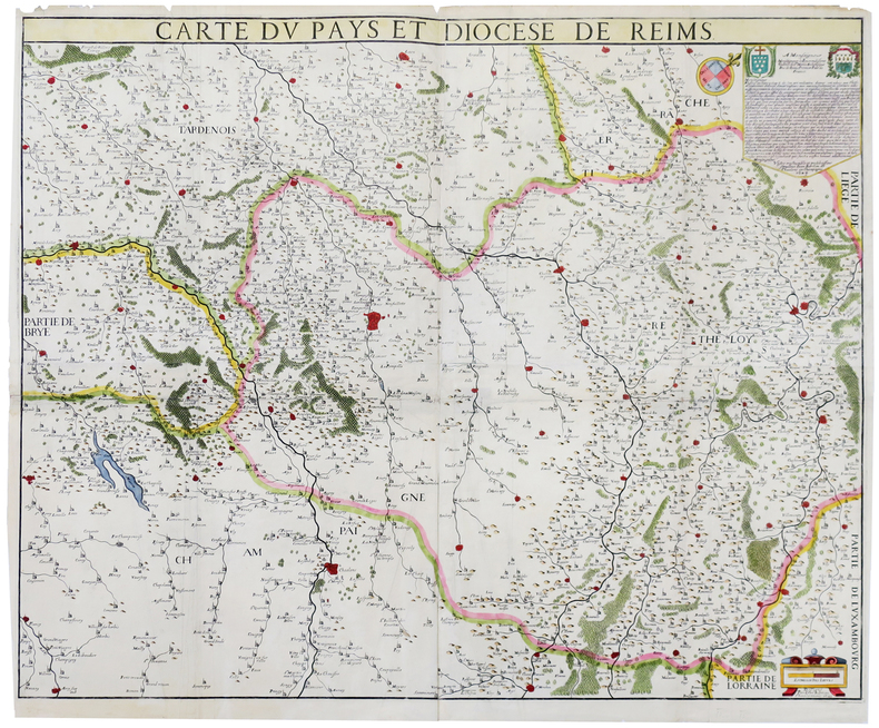
1743LBW-8120Paris, S.r Jaillot, 1743. En six feuilles coupées en 6 sections montées sur toile et repliées, pouvant être jointes pour former une carte de 1,34 x 1,39 m ; sous étui de suédine de couleur ocre.
1735LBW-848Paris, Sr. Jaillot, [circa 1735]. En trois feuilles jointes de 470 x 1030 mm.
1680LBW-8602Paris, G. Jollain, [circa 1680]. 376 x 514 mm.
LBW-3042Paris, de Fer, [1679]. 500 x 608 mm.
1623LBW-63931623. En quatre feuilles jointes formant une carte de 672 x 834 mm.
1700LBW-950Amsterdam, [circa 1700]. 505 x 567 mm.
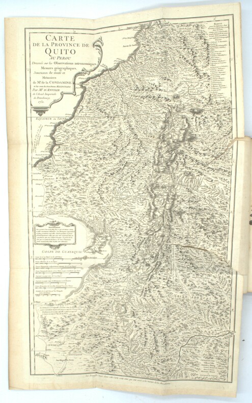
1751PHO-1682Paris, Imprimerie Royale, 1751. In-4, veau marbré, dos à nerfs orné avec pièce de titre, filets aux plats, XXXvj +280 pages + XV pages - illustré de deux cartes dépliantes, quatre planches dont trois dépliantes et un tableau dépliant. Reliure avec usures, quelques épidermures, mors avec fentes et frottements, coins émoussés, quelques taches et piqures éparses, déchirure à la carte pliante de la Province de Quito au Pérou sinon bon état intérieur
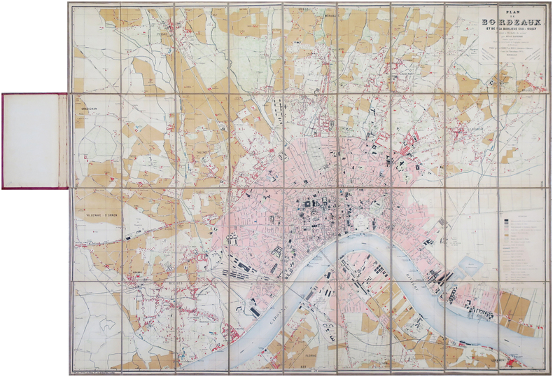
1883LBW-7869Bordeaux, Féret et Fils, 1883. En 36 sections montées sur toile et repliées, formant une carte de 0,87 x 1,15 m, montée dans une relire éditeur de percaline bordeaux.
1833LBW-1980Paris, 1833-1839. 275 x 371 mm.
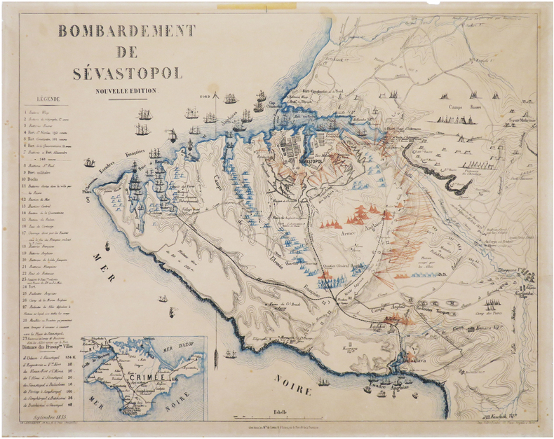
1855LBW-8025Chez tous les M.ds de cartes & d'estampes de Paris & de la province, 1855. 457 x 564 mm, sur papier fin.
Rarissima pianta di Roma a proiezione verticale, orientata con il nord in alto.Prima edizione dell'opera, pubblicata a Parigi da Jean Lattré sulla base della pianta di Giovan Battista Nolli del 1748."Prima sconosciuta edizione della pianta incisa dal Lattré usando come modello quella del Nolli. La Pianta si presenta raccolta in una cornice campata a mano in giallo. Il titolo scritto in francese si trova sulla destra dell'incisione ed in fondo, dopo la dedica al monsignor Antoine Eleonor Leon, si legge la data 1788. La colorazione aggiunta manualmente consente di distinguere le antichità e le emergenze architettoniche campite in rosso, le chiese campite in azzurro e raffigurate in pianta con le uniche eccezioni di San Pietro e Castel Sant'Angelo campite in giallo. I lotti edificati sono delineati con una sottile linea perimetrale rosa. In basso a destra è presente una descrizione in lingua francese ed a destra una legenda di 170 numeri. La presente pianta venne ristampata nel 1801 dall'editore Jean (vedi Scaccia Scarafoni n. 247)" [cfr. Marigliani p. 296].Il solo esemplare noto nelle raccolte pubbliche è quello alla Biblioteca Apostolica Vaticana, mentre della ristampa del 1801 esiste quello della collezione della Biblioteca Nazionale di Roma.Acquaforte, finemente colorata a mano in epoca, piccoli restauri nei margini laterali, per il resto in ottimo stato di conservazione. Very rare map of Rome with vertical projection, oriented with the north at the top.First edition of the work, published in Paris by Jean Lattré and based on the map by Giovan Battista Nolli (1748).The title written in French is on the right of the engraving and at the bottom, after the dedication to Monsignor Antoine Eleonor Leon, the date 1788. The coloring added manually allows to distinguish the antiquities and architectural emergencies campite in red, the churches campite in blue and represented in plan with the only exceptions of St. Peter and Castel Sant'Angelo campite in yellow. The lots built are outlined with a thin pink perimeter line. At the bottom right there is a description in French and on the right a legend of 170 numbers. The present map was reprinted in 1801 by the publisher Jean (see Scaccia Scarafoni n. 247 and Marigliani p. 296).The only known exemplar in the public collections is that of the Vatican Library, while the reprint of 1801 is that of the collection of the Biblioteca Nazionale of Rome.Etching, fine original colouring, small restorations in the lateral margins, otherwise excellent condition. C. Marigliani, "Le Piante di Roma delle collezioni private", n. 218; Scaccia Scarafoni, "Le Piante di Roma", n. 247.
1654LBW-26801654. 412 x 532 mm.
1871LBW-78621871. En 40 sections montées sur toile et repliées, formant une carte de 1,20 x 1,32 m.
1710LBW-2770[circa 1710]. 450 x 585 mm.
187543223Sans lieu, , (1875). Tableau géologique compartimenté finement dessiné et aquarellé sous verre (cadre noir : 89 x 120 cm, verre : 68 x 99 cm).
1410 x 1755 mm. Grenzkolorierte Kupferstichkarte in 9 Blättern, Maßstab ca. 1:900.000. Jedes Blatt in 12 Segmenten auf Leinen aufgezogen. Blatt 9 mit dem Plan "Wien mit seinen Umgebungen". Gefaltet in zeitgenöss. marmoriertem Umschlag und Originalschuber des Verlags mit goldgepr. Rückenschildchen "Kaiserthum Oesterreich". Letzte Auflage dieser ausgezeichneten, erstmals 1809 erschienenen monumentalen Gesamtkarte der Habsburgermonarchie - der "bis dahin weitaus größte[n] gedruckte[n] Karte der Österreichischen Monarchie" (Austria Picta). In dieser Auflage neu dargestellt sind die "im Münchner Vertrag festgelegten Grenzen zwischen Bayern und Österreich" (Dörflinger, S. 607). In ihrem grundlegenden Umfang noch 1805 entworfen, wurde die Karte vom Pressburger Frieden am 26. Dezember 1805 und dann von einem langen Streit zwischen Kartograph und Verlag überholt, sodass die neun Blätter "jenen Raum dar[stellen], der bis Dezember 1805 zur Österreichischen Monarchie gehörte - also auch Tirol und Vorarlberg, Venetien und Dalmatien sowie die Vorlande, wobei sich diese Territorien noch zusätzlich durch ihre dichte Topographie von den angrenzenden nicht-österreichischen Gebieten optisch deutlich abheben [...] Von ganz ausgezeichneter Qualität [ist] der Stich von Joseph Stöber, der die stellenweise Überfüllung mit Einzelheiten weitgehend mildert. Den Großteil von Blatt 9 nimmt die Nebenkarte 'Wien mit seinen Umgebungen' (Maßstab ca. 1:90.000) ein, die das Gebiet zwischen Korneuburg und Vöslau/Ebreichsdorf bzw. zwischen Langenlebarn/Breitenfurt und Fischamend/Ebergassing - also vor allem den südlichen und südöstlichen Teil des Umlandes von Wien - abbildet" (ebda., S. 605f.). - Umschlag und Schuber gering berieben. Vereinzelt kleine Randläsuren an den einzelnen Segmenten. Insgesamt wohlerhalten. Dörflinger 603ff., KIC 31. Vgl. Austria Picta 34.4 (Aufl. von 1811).
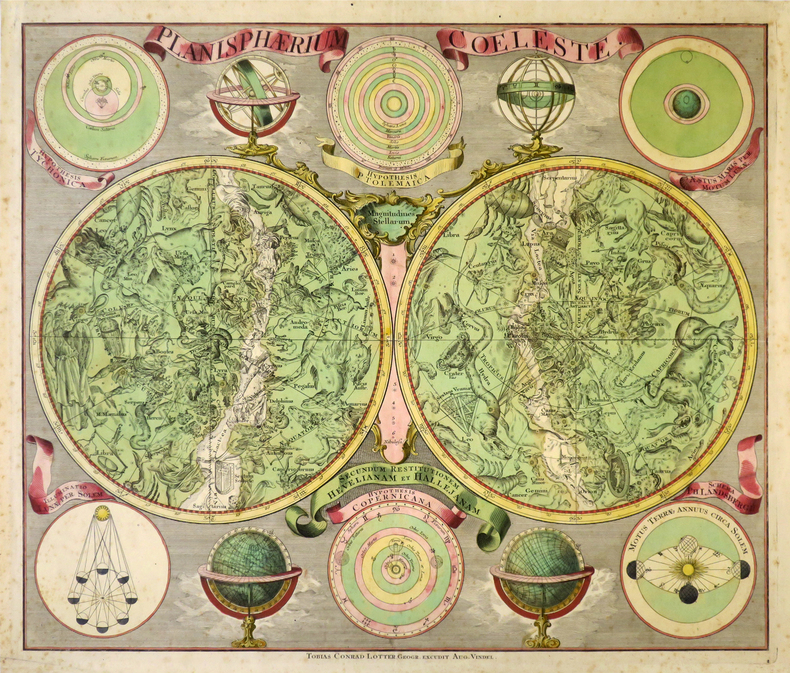
1760LBW-8679Augsbourg, Tobias Conrad Lotter, [circa 1760]. 485 x 570 mm.
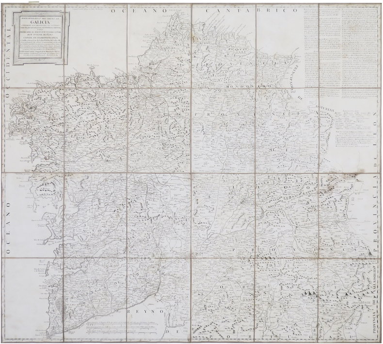
1784LBW-8660Madrid, 1784. En 24 sections montées sur toile et repliées, formant une carte de 778 x 841 mm ; étiquette de l'éditeur parisien Charles Picquet au dos, onglet de vélin numéroté en manuscrit.
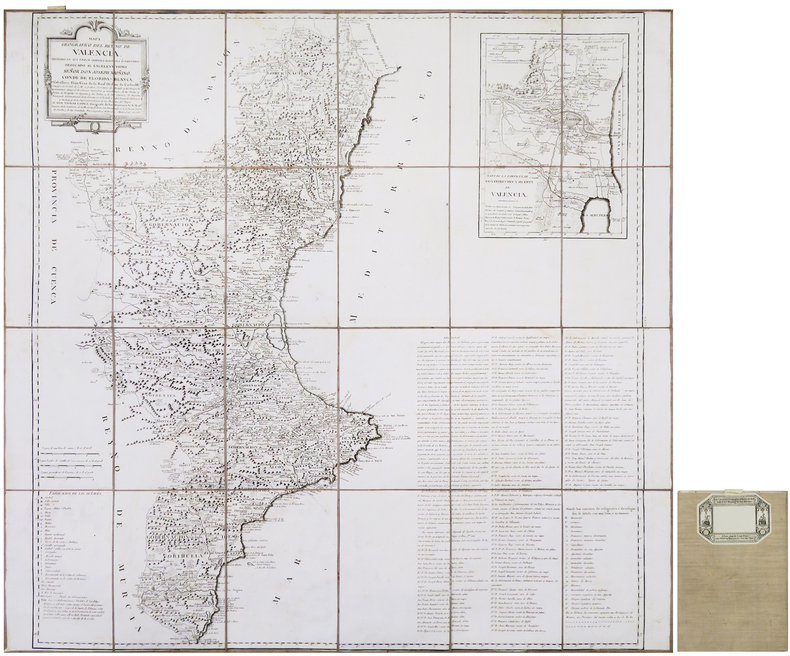
1788LBW-8658Madrid, 1788. En 24 sections montées sur toile et repliées, formant une carte de 803 x 830 mm ; étiquette de l'éditeur parisien Charles Picquet au dos, onglet de vélin numéroté en manuscrit.
630:780 mm. Engr. map in original colour. Original Biedermeier frame with four brass corner fittings. This city map showing 1317 houses with their respective numbers was first published in 1802 as "Historischer Grundriß der Stadt Wien". It also shows two small historical plans (during the second Turkish siege in 1683 and in the 12th century). - Formerly owned by Katharina Schratt and removed from the so-called Schratt Villa in Hietzing's Gloriettegasse; cf. the written statement by the heirs of the map's last owner, the collector Josef Ringer (1916-2008). Eckl coll. IV, 755. Not in Mayer coll.
Pianta della città incisa ed edita dal Merian, e pubblicata per la prima volta nell'Itinerario Italiae di Martin Zeiller. La carta è la copia in formato ridotto della grande pianta realizzata da Antonio Tempesta nel 1593. "Contenuta oltre che nell'opera di Martin Zeiler del 1640 anche nell'opera del Werdenhaen, De Rebus publicis Hanseaticis, tav. 173 - Francoforte 1641. è certamente la più nota e diffusa riduzione della pianta del Tempesta. Non presenta alcun aggiornamento rispetto al suo prototipo e pertanto raffigura la città nell'anno 1593, sebben sia stata incisa oltre mezzo secolo dopo. Una curiosa correzione rispetto al Tempesta riguarda la Piramide, da questi erroneamente raffigurata all'interno delle mura, è invece qui disegnata più correttamente a cavallo delle stesse" (cfr. Marigliani p. 175). Incisione in rame stampata su due fogli uniti verticalmente, finemente colorato a mano, in ottimo stato di conservazione. Bellissimo esemplare di una delle più belle e decorative rappresentazioni della città. Bibliografia A. P. Frutaz, "Le piante di Roma", CXXXV, tav. 275; Hulsen 88, Scaccia Scarafoni 186; C. Marigliani, "Le Piante di Roma delle collezioni private", tav. 76. Map of Rome, engraved and published by Merian. It was first issued in the Itinerario Italie of Martin Zeiller. The map is a reduction of the big map realized by Antonio Tempesta in 1593. "Contained not only in the 1640 work of Martin Zeiler but also in the work of Werdenhaen, De Rebus publicis Hanseaticis, pl. 173 - Frankfurt 1641. It is certainly the best known and most widespread reduction of the map of Antonio Tempesta. It does not present any update with respect to the its prototype and therefore depicts the city in the year 1593, although it was engraved over half a century later. A curious correction with respect to Tempesta concerns the Pyramid, which he erroneously depicted inside the walls, is instead drawn here more correctly astride themselves "(see Marigliani p. 175). Engraving printed on two sheets, joined up vertically, with fine later hand colour, in very good condition. Magnificent example of one of the most beautiful and highly decorative representations of the city. Bibliografia A. P. Frutaz, "Le piante di Roma", CXXXV, tav. 275; Hulsen 88, Scaccia Scarafoni 186; C. Marigliani, "Le Piante di Roma delle collezioni private", tav. 76.
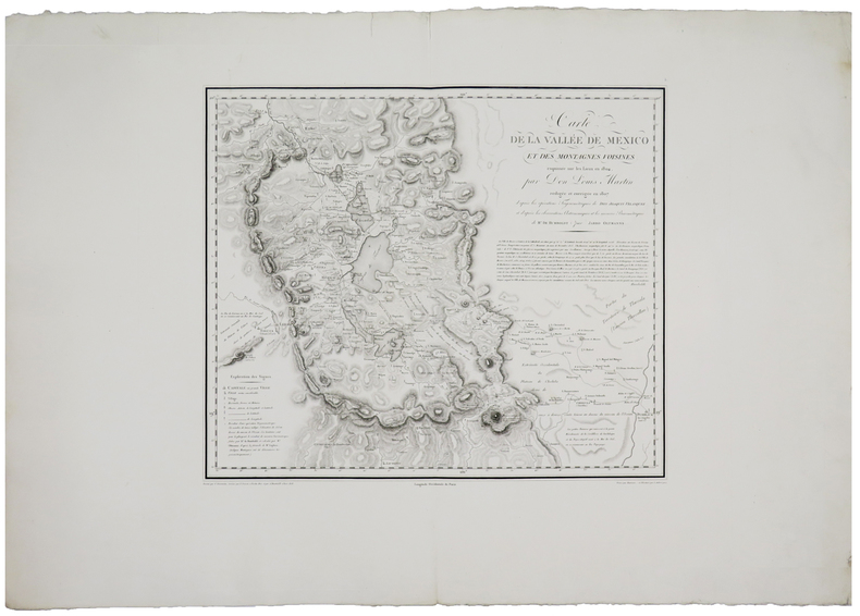
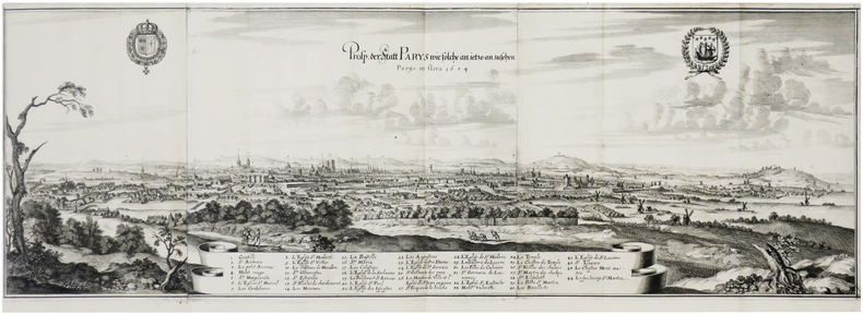
1655LBW-7681[Francfort], 1654 [1655]. En trois feuilles jointes de 263 x 792 mm.
1788LBW-3426Paris, Crépy, 1788. En 2 feuilles jointes de 870 x 647 mm.