MONTECALERIO (Giovanni).Livre Rare Book
11 984 résultats
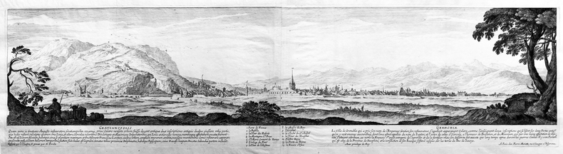
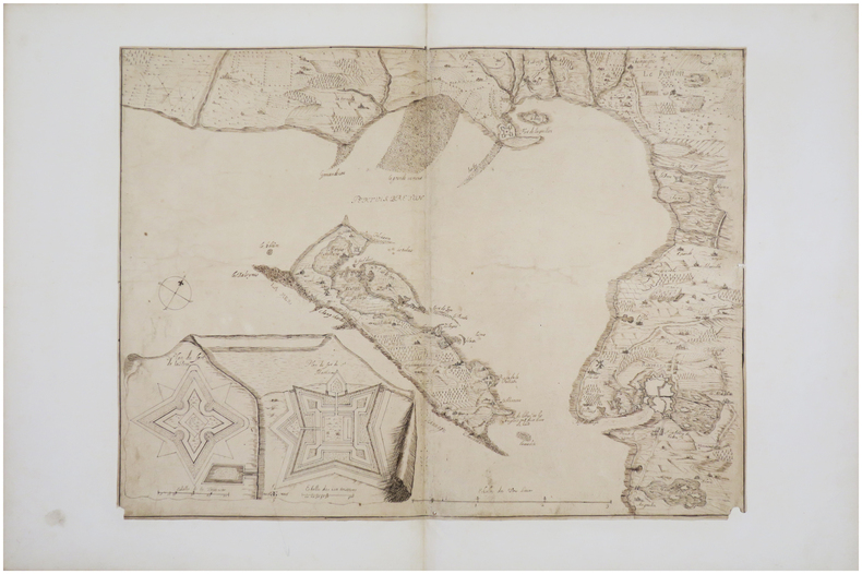
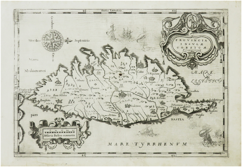
LBW-7406[Rome ou Turin, entre 1643 et 1654]. 220 x 318 mm.
A massive Japanese commercial reference from the early 1900s. Approximately 2,000 pages. Text primarily in Japanese, other than the 18-page bilingual (Japanese/English) index and an intriguing bilingual fold-out sample of various contemporary export documents. Two items laid inside front board include a double-sided bilingual glossary of commonly used trade terms and a wonderful 22" wide by 16" high colour map of the world with trade routes to/from Japan indicated in red. Most text on the map is Japanese with some place names in both English and Japanese. Please note that library name is stamped through the blank upper right corner of the map. Elaborately gilt-decorated backstrip with title in Japanese and English bears considerable wear but is still handsome and, dare we say, mysterious. Per a handwritten inscription inside back board, this copy was presented to representatives of the Seattle Chamber of Commerce in Tokyo on 24 October, 1908 by Mr. Shonojo Moriyama, Proprietor of the Dobun_____. Edges adorned with partially-faded marbling. Usual library markings. Above-average wear. Binding intact. A marvelously unique item. Book
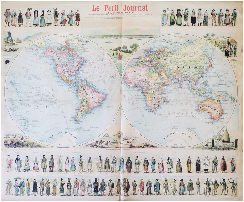
1897LBW-8232Paris, Le Petit Journal, [1897]. 0,90 x 1,06 m.
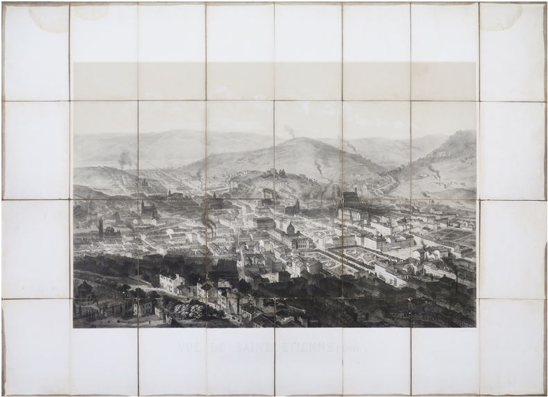
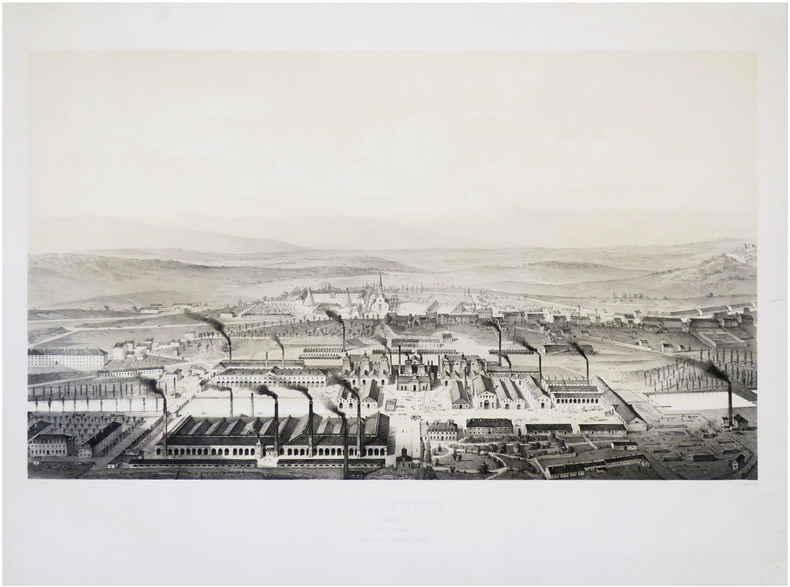
1867LBW-8046Paris, Lemercier & C.ie, [1867]. En 32 sections montées sur toile et repliées, formant une vue de 63 x 85,5 cm hors marges, 85,5 x 115,5 cm avec les marges.
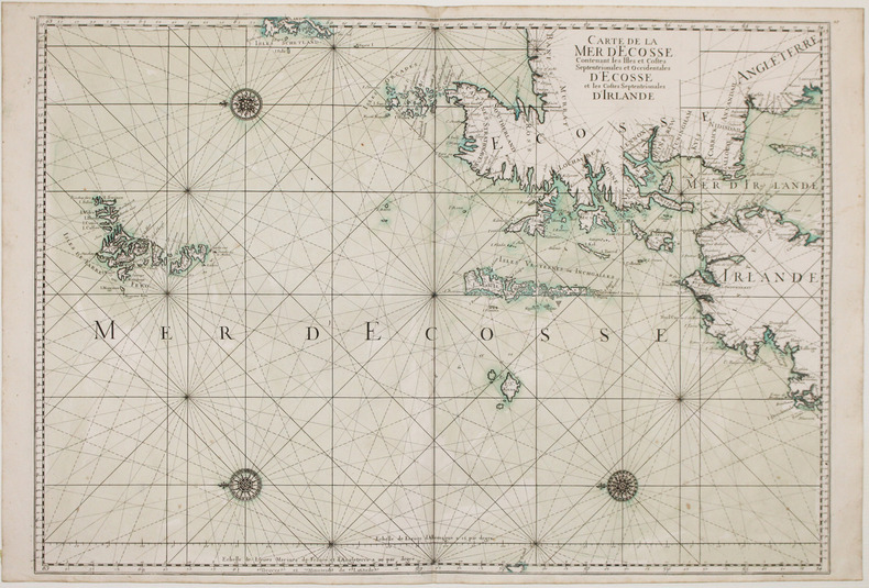
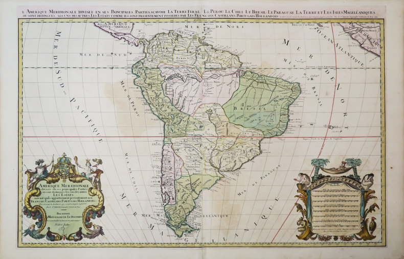
1693LBW-2927[1693]. 590 x 880 mm.
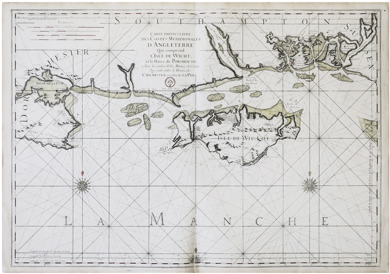
1704LBW06193Paris J.B. Nolin 1704 En deux feuilles jointes 447 x 731 mm.
LBW06192Paris J.B. Nolin circa 1705 450 x 577 mm.
LBW06190Paris J.B. Nolin circa 1705 560 x 434 mm.
1574LBW-589Anvers 1574-1575 363 x 434 mm.
1750LBW-4131[circa 1750]. 390 x 555 mm.
1815LBW-6676[1815]. 572 x 823 mm.
Acquaforte e bulino, circa 1561. Magnifica prova, impressa su carta vergata coeva, con margini, in perfetto stato di conservazione. Esemplare in meravigliosa coloritura coeva.Carta tratta dalla "Geographia di Claudio Tolomeo", a cura del Ruscelli, pubblicata in Venezia in pù edizioni tra il 1561 ed il 1598. La carta è basata sulla "Geografia" di Giacomo Gastaldi, che probabilmente disegnò personalmente anche queste mappe, che vennero incise dai fratelli Sanuto. La peculiarità di queste mappe è che sono incise due per lastra e successivamente tagliate; questo il motivo per cui il segno del rame appare solo in tre lati della mappa. Il testo del Ruscelli e le sue carte sono considerate come il miglior atlante moderno fino alla prima versione del Thatrum di Ortelius, 1570. Solo la loro enorme diffusione ne impedisce una valutazione sostenuta nel mercato antiquario. L'opera infatti ebbe una prima stesura nel 1561, stampata da Vincenzo Valgrisi che ne curò anche la ristampa del 1562. Tre sono le edizioni firmate da Giordano Ziletti (due nel 1564 e una del 1574), mentre nel 1597 viene edita dai fratelli Calignani. Tutte queste edizioni contengono 64 tavole. Nel 1598 e 1599 vengono alla luce le due edizioni curate da Giuseppe Rosaccio e stampate dagli Eredi di Melchior Sessa. Queste ultime due edizioni comprendono 69 tavole; sono infatti aggiunte la carta del planisfero e dei continenti del Rosaccio. ORIGINAL COLOURINGEtching with engraving, about 1561. Magnificent proof, printed on contemporary laid paper, with margins, in perfect condition. Example in wonderful contemporary coloring.Map, taken from Ruscelli edition of Ptolemy's "Geographia", printed in Venice from 1561 to 1598. Ruscelli's Atlas is an expanded edition of Gastaldi's "Geografia" of 1548, which has been called the most comprehensive atlas produced between Martin Waldseemüller's Geographiae of 1513, and the Abraham Ortelius Theatrum of 1570. Ruscelli and Gastaldi's maps were beautifully engraved on copper, marking a turning point in the history of cartography. From that point forward, the majority of cartographic works used this medium. As it was a harder material than wood it gave the engraver the ability to render more detail. Gastaldi sought the most up-to-date geographical information available, making the modern maps in Ruscelli's Geographia among the best modern maps of the period. The maps are engraved by the Sanuto borthers.Only their enormous diffusion prevents a sustained evaluation in the antique market. The work in fact had a first issue in 1561, printed by Vincenzo Valgrisi who also edited the reprint of 1562. There are three editions signed by Giordano Ziletti (two in 1564 and one in 1574), while in 1597 it was edited by the Calignani brothers. All these editions contain 64 engraved maps. In 1598 and 1599 the two editions edited by Giuseppe Rosaccio and printed by the heirs of Melchior Sessa come to light. These last two editions include 69 plates; in fact the map of the planisphere and of the continents of Rosaccio are added.Only their ubiquity prevents an assessment supported in the antique market.
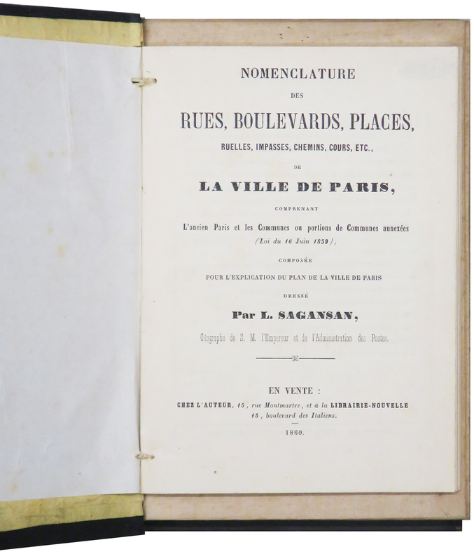
1860LBW-6199Paris, chez l'auteur, 1860. En 36 sections montées sur toile et pliées, formant un plan de 0,79 x 1,14 m ; monté dans sa reliure éditeur en percaline noire (20,5 x 13 cm), contenant une nomenclature des rues de 104 pages ; titre en lettres dorées sur le premier plat.
1691LBW-3673Paris, H. Jaillot, 1691. En deux feuilles jointes de 573 x 884 mm.
LBW-784[fin XVIIIe]. 218 x 180 mm.
1650LBW-4398[circa 1650]. En deux feuilles jointes de 200 x 780 mm.
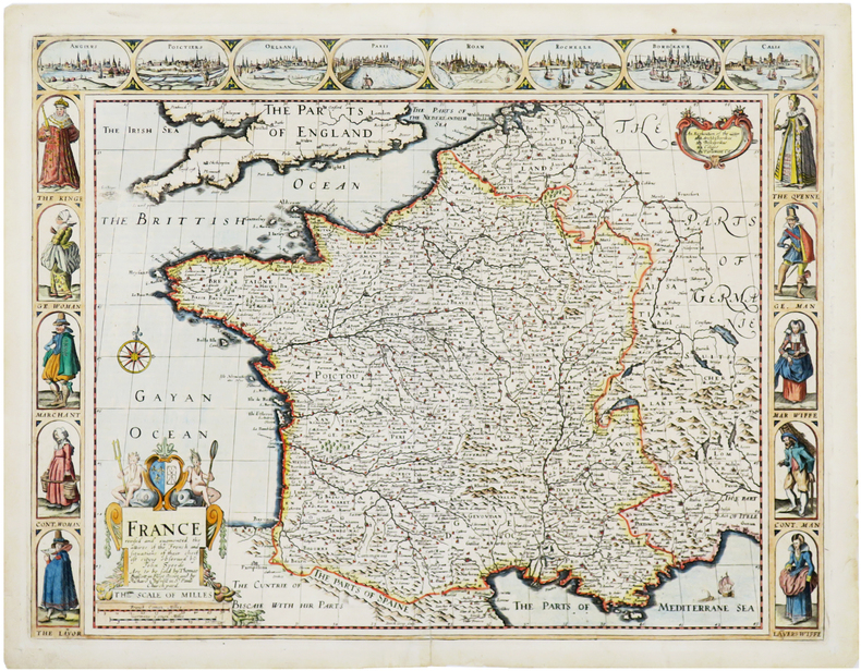
1676LBW-7057Londres, Thomas Bassett and Richard Chiswell, [1676]. 402 x 522 mm.
1840LBW-4148[circa 1840]. En 21 sections montées sur toile et repliées, formant une carte de 648 x 978 mm.
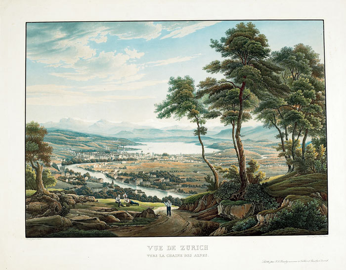
1830LBW-821Zurich F.S. Fuessly circa 1830 345 x 423 mm.
1747LBW-40941747. 505 x 772 mm.
LBW-7437[milieu du XVIIe siècle]. 39 x 53,5 cm, sur papier mince, et monté sur papier vergé postérieur.
1847LBW-8626Paris, Lemercier, 1847. 480 x 708 mm.